| |
| Stretch: |
Confluence of North and Middle Forks to Folsom reservoir |
| Difficulty: |
class II+ with one class III |
| Distance: |
9.9 miles, partial day |
| Flows: |
rafts and kayaks 300 - 2000 cfs, class III above 2000
|
| Gauge: |
flow
(NFD)
40 minutes upstream + Oxbow
(OXB)
8-10 hours upstream |
| Gradient: |
17 fpm average
(10 to mile 3.4, 27 to mile 6.6, 15 fpm to take-out) |
| Put-in: |
Old Foresthill Road bridge, 540' |
| Take-out: |
Rattlesnake Bar access, fee required, 370' |
| Shuttle: |
10 miles (25 minutes) one-way |
| Maps: |
AAA Lake Tahoe Region,
PARC.org,
Topo
|
| Season: |
all year (late afternoons in summer) |
| Agency: |
Auburn State Recreation Area, Folsom Reservoir State Recreation Area |
| Notes: |
© 2008-2009 John Donovan |
This run opened in Winter 2008 when construction crews closed off
the diversion tunnel at Auburn Dam site, restoring the river to its channel.
The river below the confluence is considered the North Fork American,
although the Middle Fork carries more water and has a longer drainage.
The trip can be split up by putting in or taking out at China Bar,
just downstream of the Auburn Dam site.
The suitability of the lower section depends on the level of Folsom Reservoir,
which is lowest in winter and highest in spring, but depends greatly on
the type of water year. Some years the reservoir doesn't rise above 430 feet,
and other years it could spend the entire spring and summer above that mark.
You can check the level of Folsom reservoir
here.
The flows are a combination of natural flows on the North Fork
(best during winter and spring snowmelt) and dam release, many hours upstream,
on the Middle Fork. Expect Middle Fork flows to arrive in the late
afternoon. However, since minimum flows are enough to paddle most of
this run, it might make sense to start out before the flows arrive,
especially when days are short in winter. The stretch above the dam site
is mostly flat with or without water.
For a little more action, you can start 2.0 miles upstream, just below
North Fork Dam. The elevation drops from about 600' to about 540'
in this section, 30 fpm. See photos below. Upstream of Clementine is the
lower North Fork American run.
This run could also be combined with a mostly class II run on the
lower Middle Fork American, which
would require a portage around class V Murderer's Bar, and perhaps
also around class III-IV J-Turn rapid just above the confluence.
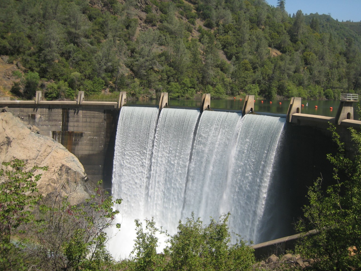
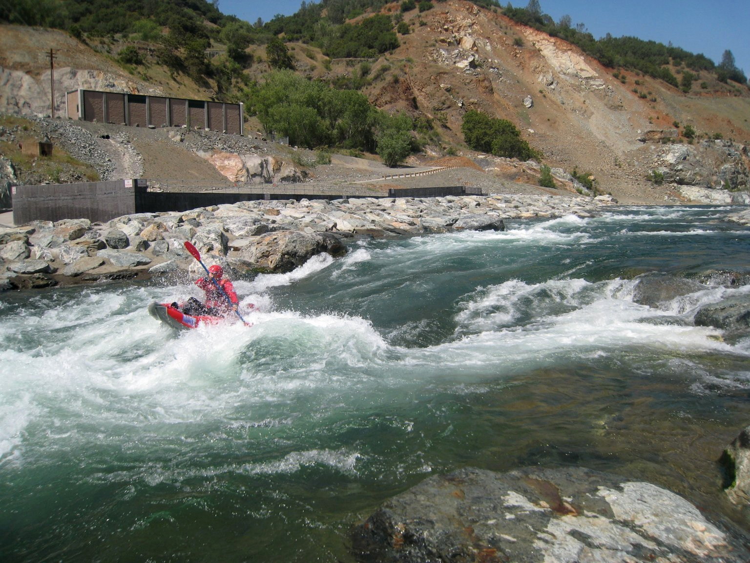
-
mile
-2.0
-
A 1/4-mile trail descends the canyon just downstream of
the dam overlook on Lake Clementine Road and requires scrambling
over some boulders to get to the river. The short route
requires pushing thru some brush and starting in the middle
of the first rapid. The long route requires a more strenuous
scramble further upstream to a pool below the dam.
-
-
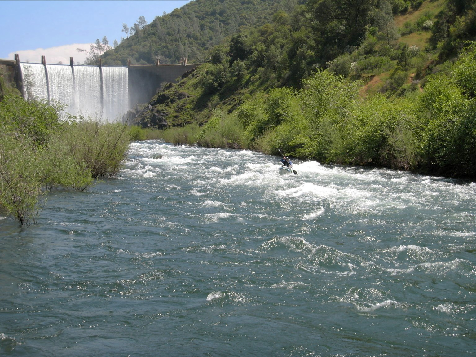
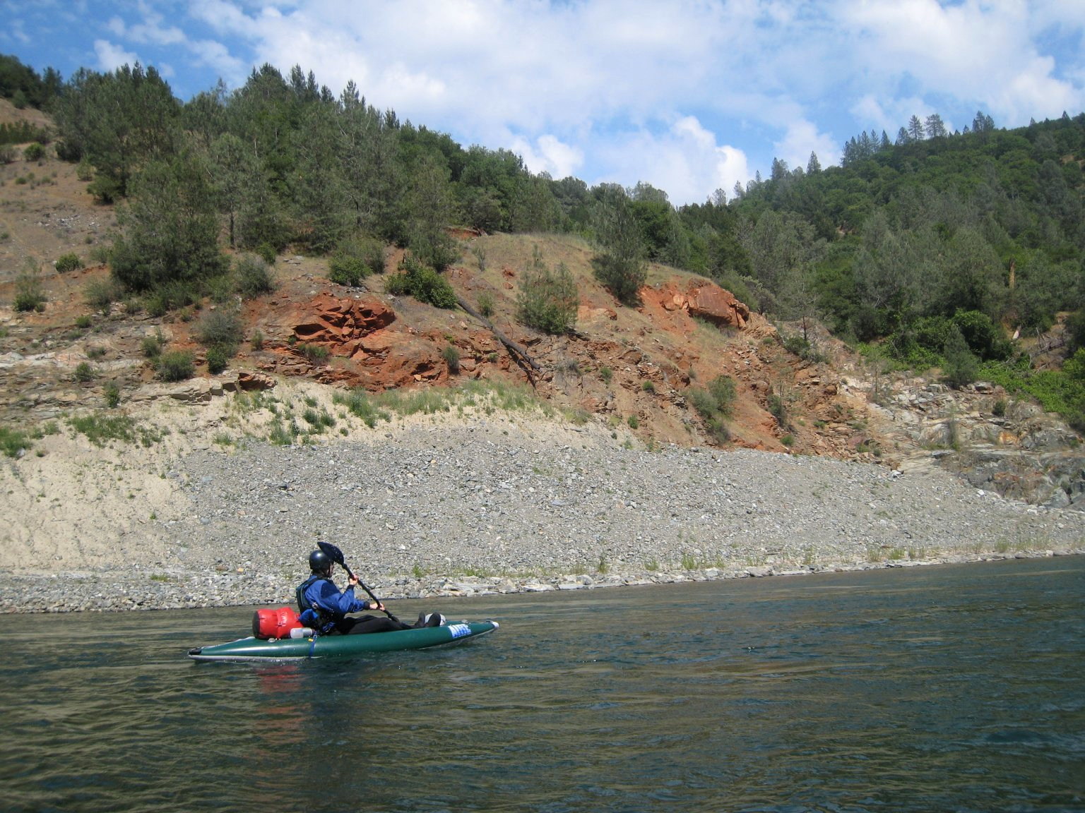
The first, second, and fourth rapids below Lake Clementine are
class II+ (III- at 1300 cfs) with the other ten or so rapids
being just class II.
-
- 0.0
-
Put in under Old Foresthill Road bridge (the curved bridge).
An alternate put-in is just upstream on the Middle Fork,
where a trail leads from Old Foresthill Road down to a beach.
- 0.1
-
Preamble (class II-). Wave to sun bathers and picnickers as you
negotiate a small rapid. The Middle Fork joins from the left.
-
- 0.2
-
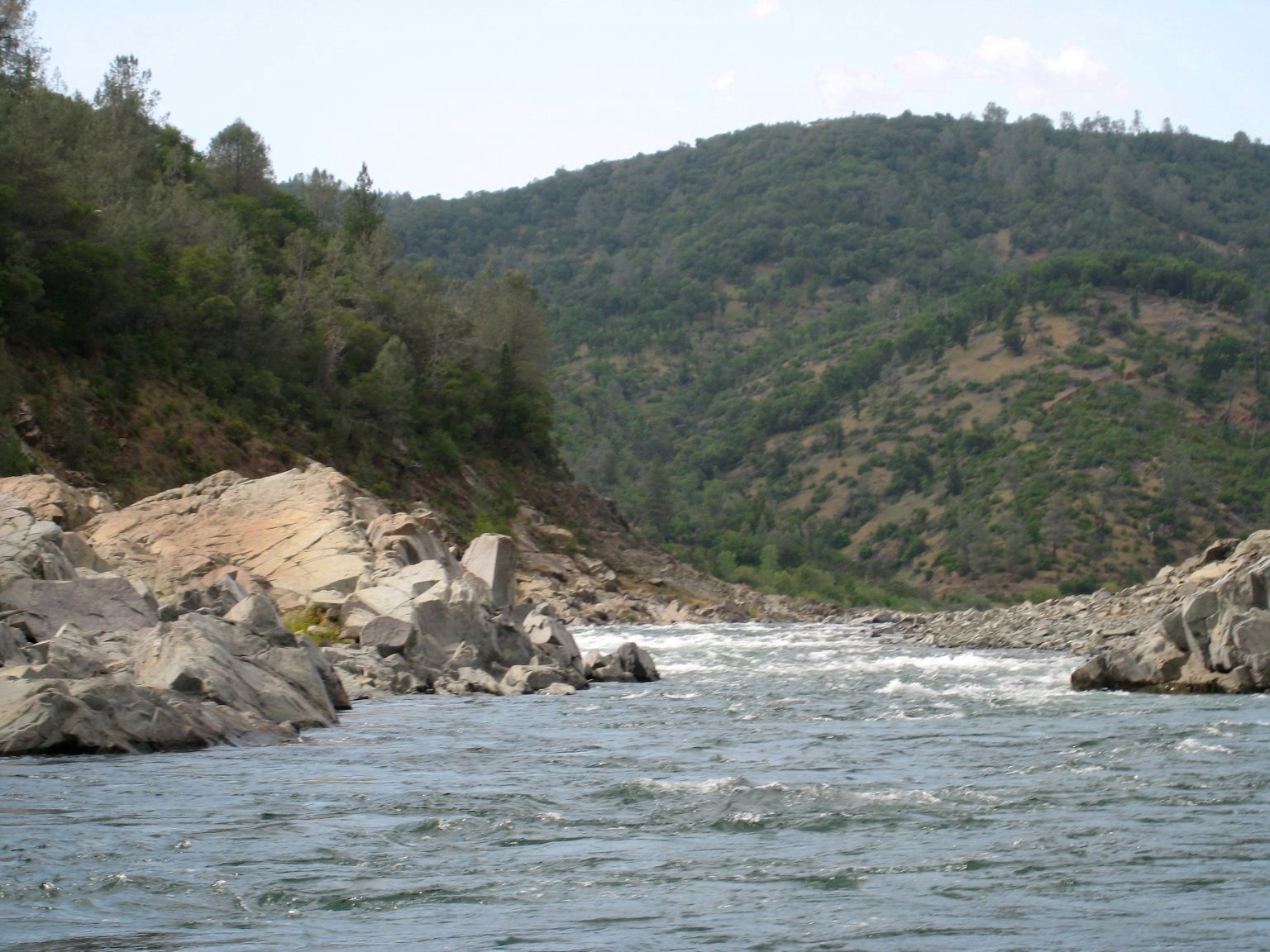
Confluence of North and Middle Forks.
The pace quickens with a bend to the right.
- 0.3
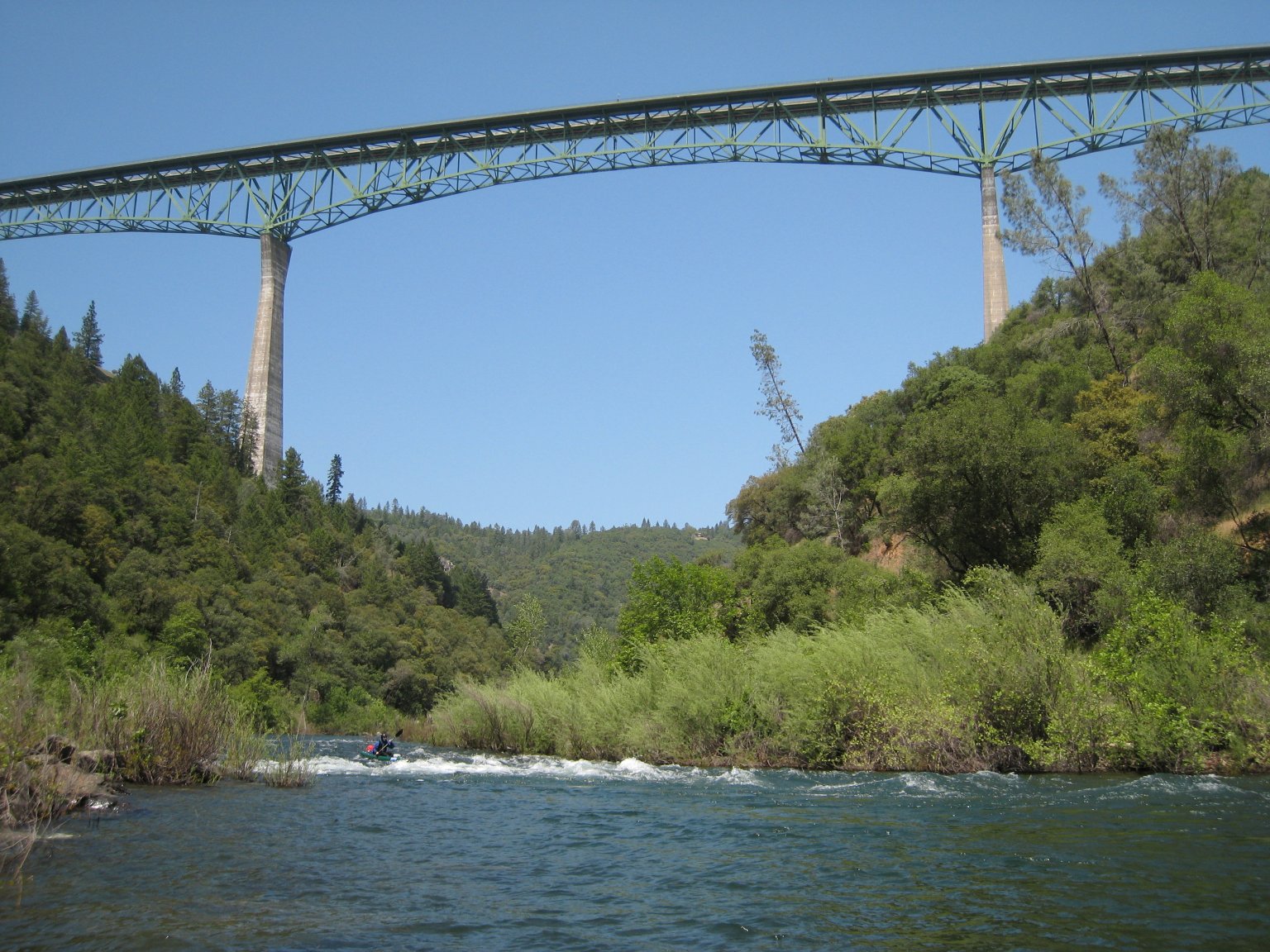
-
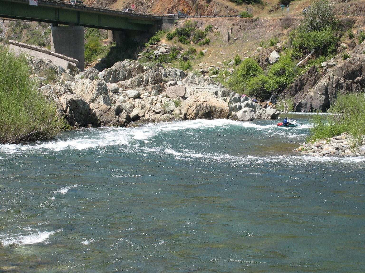
Highway 49 Bridge, aka Flip-Flop Rapid (class II). The river bends to the right,
rambles down a shoal, and piles into the right bank in a sharp
dogleg to the left. A class III hole with a recirculating eddy
develops at the top left above 1500 cfs. You can avoid most
of the action by hugging the inside of each turn or taking the
right-hand sneak channel that starts at the confluence.
- 0.4
-
Emerald green flatwater past the ruins of the old Highway 49 bridge.
Not a good place to practice your roll due to the large
chunks of iron below the surface. Yet another put-in is down a
steep dirt trail from the bridge on river left.
- 0.5
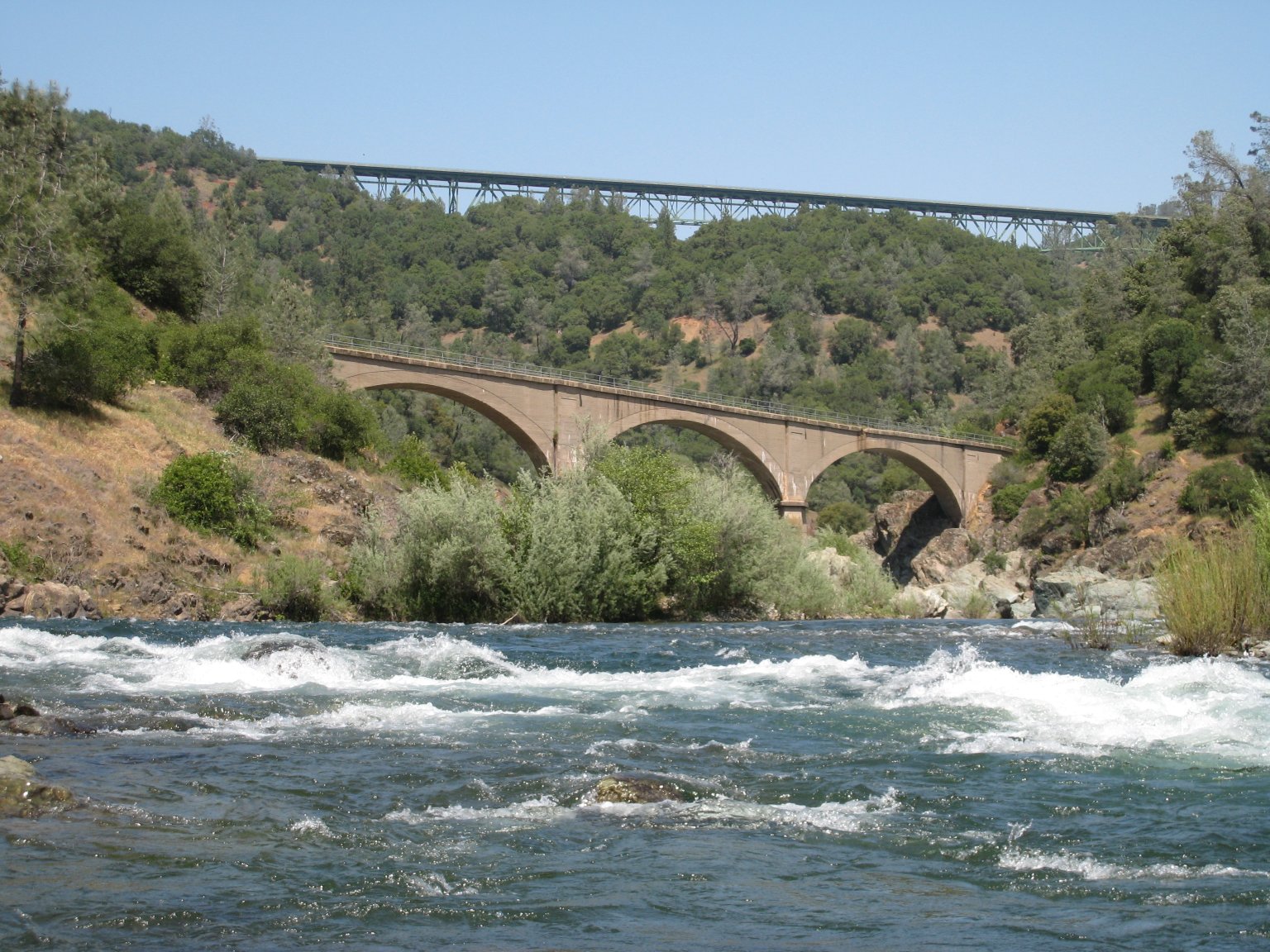
-
No Hands Bridge, so named because it used to have no handrail
(officially Mountain Quarries Railroad Bridge). More deep flatwater.
-
- 0.7
-
Condemn Bar (class II). Not a bad surf spot at certain flows. Riffles followed by a left turn, then
a small wave train and a center-channel rock/hole at the end.
- 0.8 - 2.5
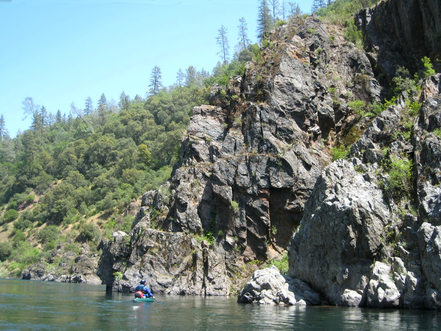
-
Beautiful canyon walls on river left. Copious nude sunbathing,
mostly male, on river right. Intermittent class I to II- rapids.
The canyon starts to have a remote wilderness feel.
- 2.5
-
Tamaroo Bar (class II). A left turn with a diagonal wave train
along the right side, followed by a large recovery pool.
This rapid was once more formidable, but is now fairly easy.
- 2.7
-
Lower Tamaroo Bar (class II). A riffly right turn followed by a
small pour-over. A long, flat pool backs up from the pump station
downstream and provides nearly a mile of flatwater paddling.
- 3.4
-
Old diversion tunnel entrance on river left. A pile of rocks
neatly covers the point where the river spent 35 years (1972-2007)
traveling though the mountain in a half-mile long tunnel.
- 3.5
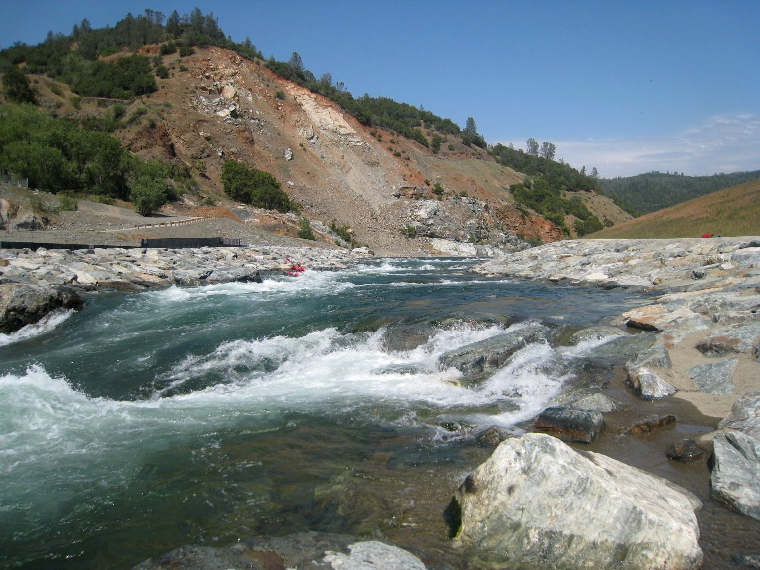
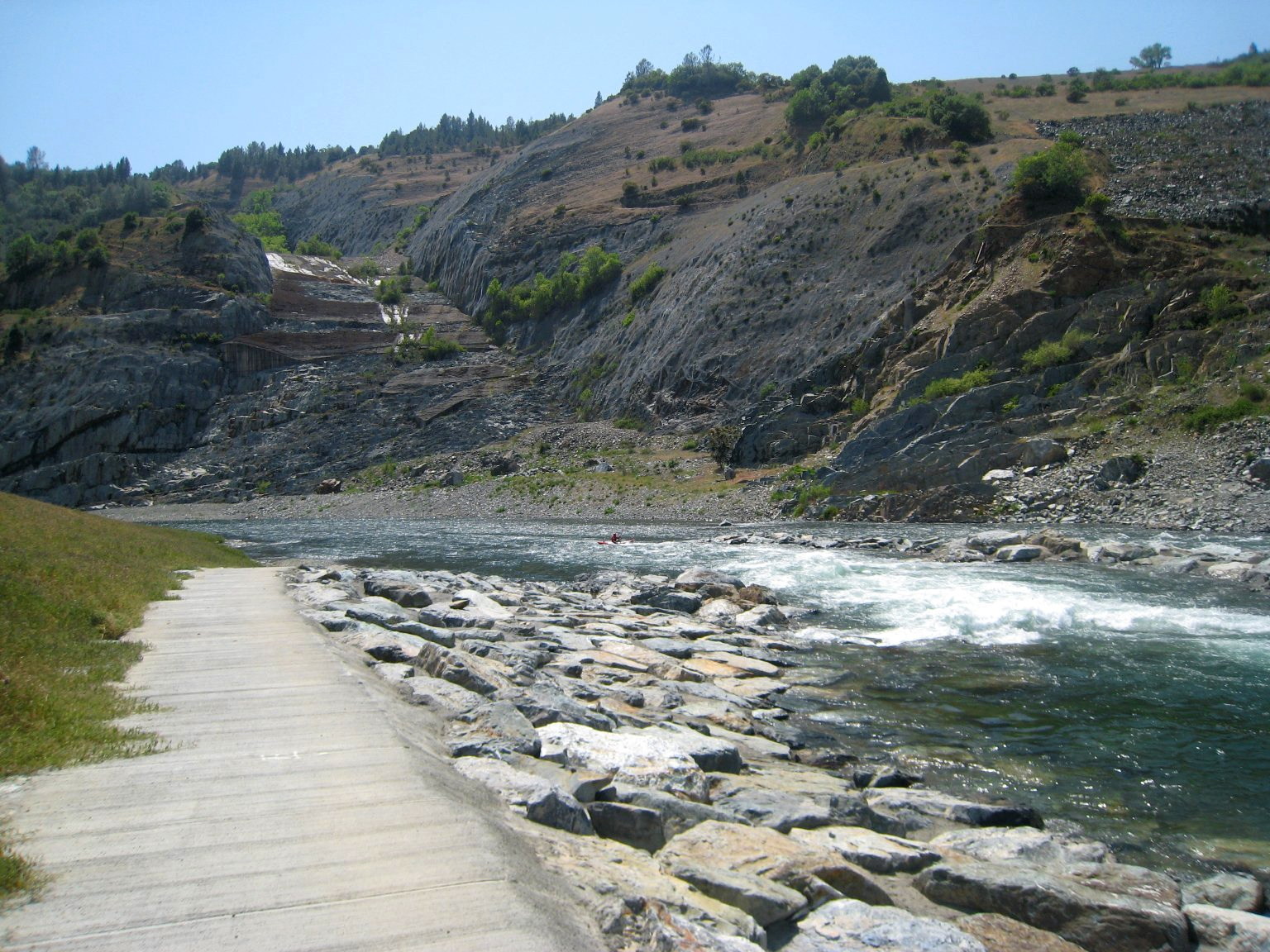
-
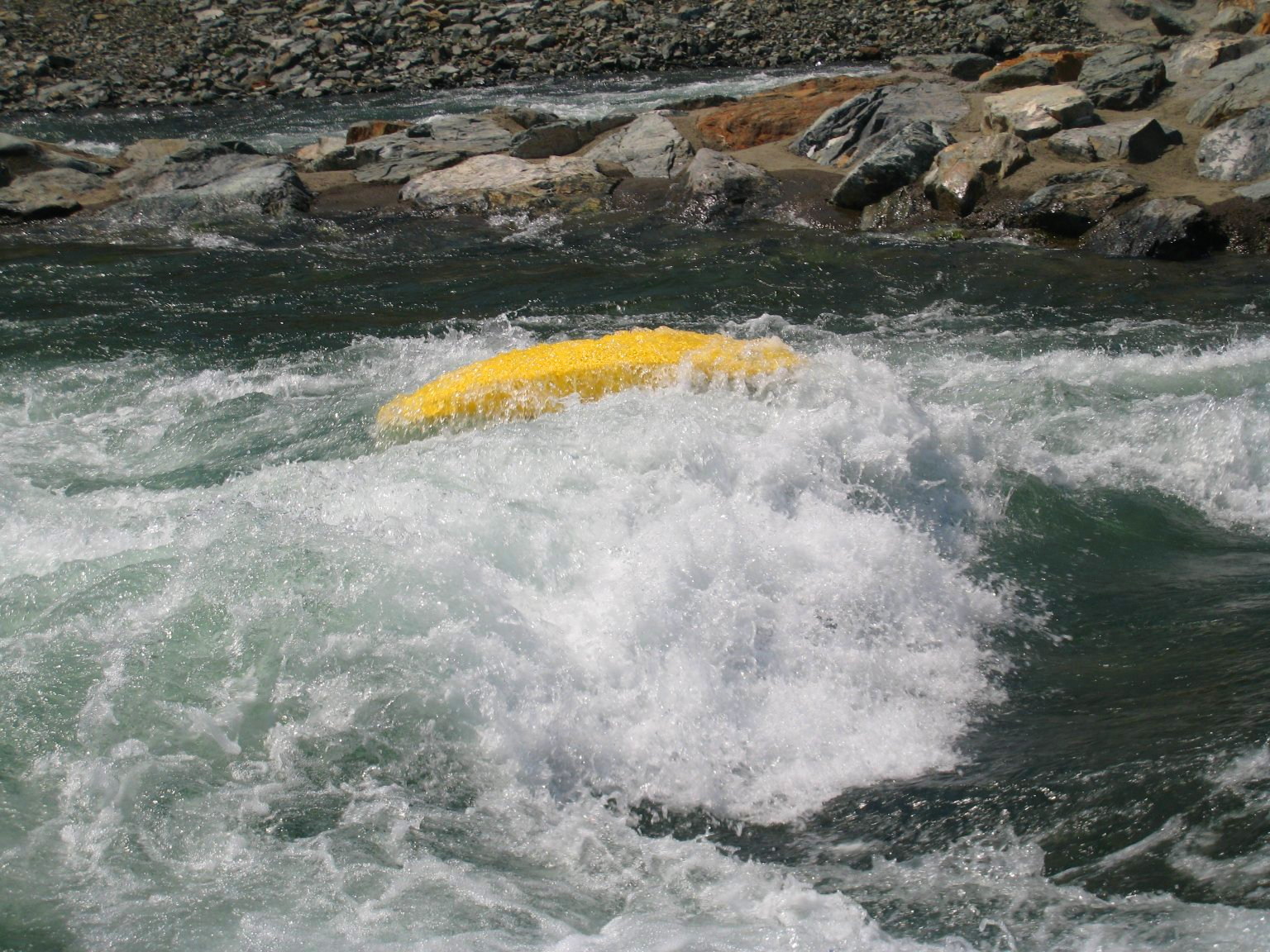
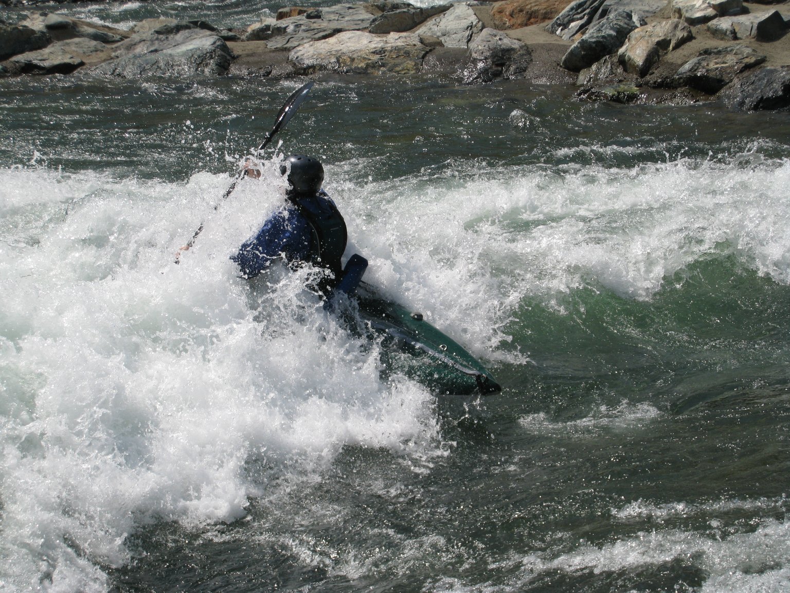
Pump Station Rapid (class III). Large dam excavations and
extensive construction roads on both sides of the canyon form
the backdrop for this human-engineered rapid, consisting of two
channels. The pump station on the right bank diverts water to
Placer County. Portaging or scouting can be easily accomplished
using the concrete walkway on river left.
-
-
The main rapid is down the left channel (aka High Five) and consists of a
straight, continuous series of about a half dozen drops. The first
couple of holes feel playful, with the next ones serving to soften
you up, and slow you down, going into the grand finale. You'll
need good speed to punch thru and remain upright. The recovery
pool at the bottom is flat, but a little shallow, and definitely
not still. If loose gear isn't collected right away, it may find
its way down the river on its own.
-
-
The portage path runs in both directions, so you can run this rapid
repeatedly with little effort. Most of the drops include one or
more catchable eddies along the sides, so there are opportunities
to rest, put in, or take out in the middle of the rapid, if so
desired. This rapid is much more flow dependent than the others
on the run and, to complicate matters, the right channel (aka Screen Test) may not
always divert the same amount of water. For what it's worth,
the rapid has been observed at the following scale of difficulty:
II-/bottoming out at 330 cfs, II at 650 cfs, II+ at 1100 cfs,
III at 1700 cfs, and III+ at 2000 cfs.
-
-
The right channel contains the intake for the pump station, and is
located on the other side of the landscaped rock island. The channel
is a long, shallow slide with a smooth metal grate along the bottom.
Features are present at the top and bottom of the slide. The island
itself is suitable for eating lunch and watching carnage.
- 3.8
-
Birdsall Access road with turn-around area on river right. This
access may not be open year round. Continuing down to Oregon Bar
yields about a half hour of good rapids.
- 4.2
-
Old diversion tunnel exit, covered up by a pile of rocks on the
left bank.
-
- 4.3
-
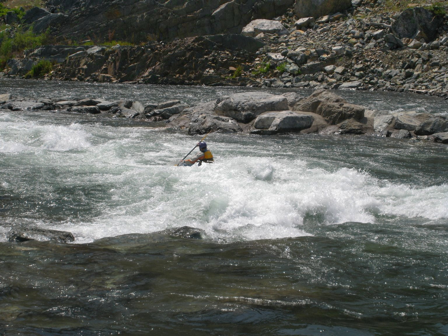
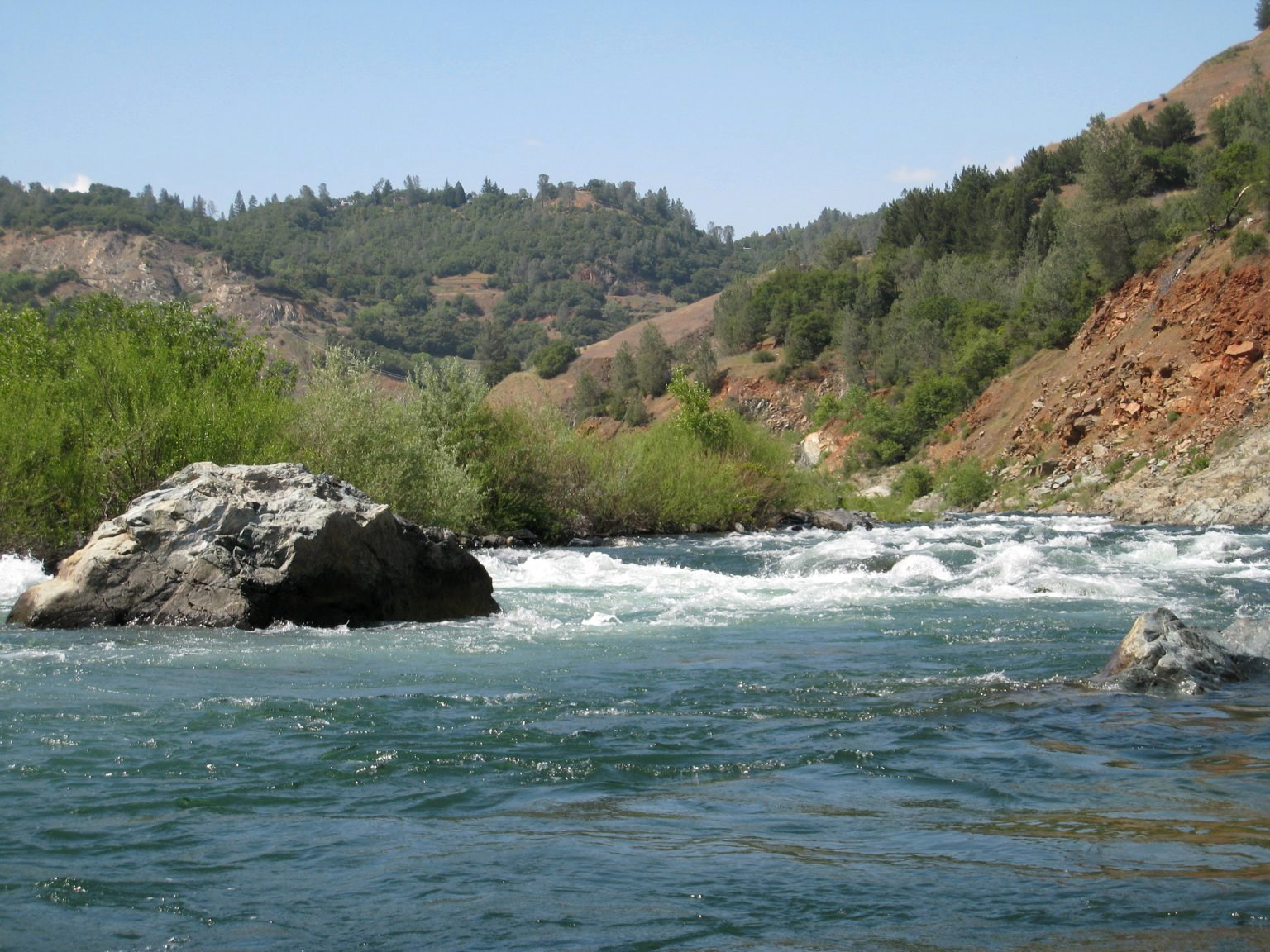
Dragon's Head, aka Cape Horn (class II+). The river bends right, splits around a few
boulders, then provides a big bouncy wave train, transitioning to
class I with a long eddy on the left. Class III- above 1500 cfs.
Above 2000 cfs, this rapid grows together with the others over the
next half mile, and could be considered a single class III rapid.
- 4.5
-
High water mark of Folsom Reservoir (465' elevation).
- 4.7
-
Dragon's Tail, aka Flume Rapid, aka Knickerbocker (class II+). The intro to this rapid is a lengthy II-
stretch along the gravel bar, which is technical at low flow. The
river heads toward a bedrock wall with remnants of an old concrete
flume part way up the bank. At the wall, the river bends left,
becomes steeper, and has a couple of good drops. Class III- above
1500 cfs.
- 4.8
-
Knickerbocker Creek enters from the left.
- 4.9
-
Unnamed class II- rapid.
- 5.4
-
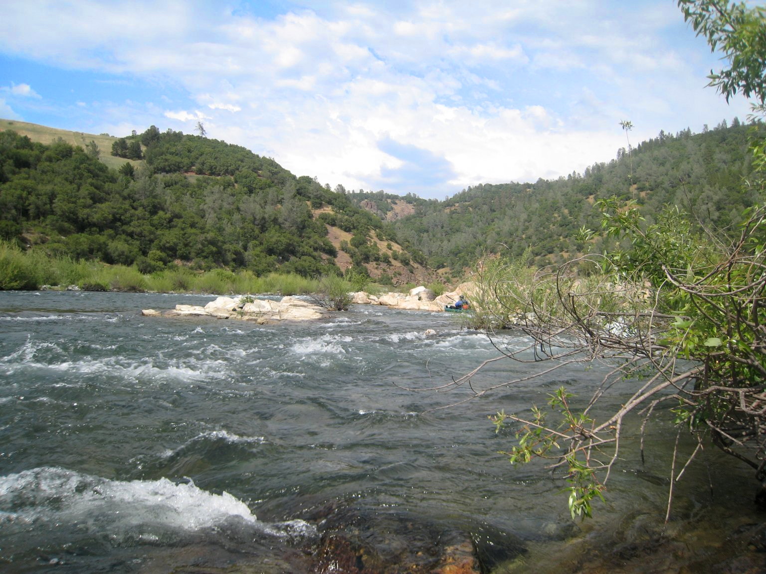
Rock Island, or Cardiac Bypass at Oregon Bar (class II+). The Oregon
Bar access point is on the right, but vehicle access may not be
available year round. Take-out is probably easiest above the rapid.
The Cardiac Bypass trail ascends the right canyon wall and hikers
may be spotted along the right bank from here down to Rattlesnake Bar.
-
This rapid is more technical than powerful. Its many large rocks
can be used for scouting or relaxing. The river splits into three
channels, with the middle channel containing the most water, and
below 1000 cfs being the only way thru. A number of rocks guard
the entrance, providing multiple lines and requiring some rock
dodging. To follow the main channel, be prepared to take a sharp
right to avoid being taken toward the left channel.
-
-
The main channel contains a wide eddy half way down, and then
descends a broad, bouncy shoal. The river heads left as the
channels come back together. The left channel is narrow and
winding. The right channel doesn't have much water below 2000
cfs, but contains a harsh-looking drop that may be in the class
III/IV range at higher levels.
- 5.5
-
Ohio Company (class II). A left turn with some waves on the right,
a short pause, and some small waves at the end.
- 5.7
-
Billy Goat's Gruff (class II+). A left turn followed by a right turn. At normal flows, you'll have
to dodge some rocks and holes mid-channel, between the two turns.
Complications await along the outer parts of the turns,
at higher flows. Some have spotted a goat along the canyon wall near here.
-
- 6.0
-
New York Bar (class II+). The river enters a short mini-gorge.
Class III- above 1500 cfs, when strong holes develop along the
right wall, and fast current to the left creates and a strong,
swirling eddy line down the middle. Completely available at lake
surface elevations up to 430'.
- 6.6
-
All Bark, No Bite (class II-). The river makes a sharp right
turn past a tall boulder on the left, and sounds like there may
be something interesting. There's not. This marks the end of
the fun. A half mile of flat water awaits, paddling into the
afternoon glare, even when the reservoir is low.
- 7.2
-
Class II- wave train. A small, surfable feature develops at
higher flows. It should be available up to about 415' reservoir
surface elevation. The play potential gets fairly grim beyond
this point, even when the river is uncovered.
- 7.6
-
Steeper hills give way to rolling oak grasslands. The sharp,
river-carved formations seen upstream transition to the round,
light-gray outcroppings of Granite Bay. The river meanders
past the long-gone gold camps at Manhattan Bar and Lacy's Bar.
Flat pools with shallow, class I and II- drops, when the
reservoir is low.
- 8.7
-
Mormon Ravine enters from the right. Below 395' reservoir surface
elevation, the river is swift class I or II-, winding its way
between boulder clusters, and providing an exercise in steering
around corners. The landscape is otherworldly, devoid of vegetation
and stacked up with all the silt and sand the river has carried
into the reservoir since 1955. The river cuts a trench with
ten foot vertical walls, making take-out a challenge in many places.
- 9.0
-
Avery's Pond, a scenic spot with a picnic table, just up the right
bank. During warm weather, power boats may decide to crank up the
stereo and make this their own personal block party. Watch for
buoys signaling the end of the no-wake zone and the beginning of
full throttle exhibitions of speed and water skiing. Stay near shore
when possible.
- 9.7
-
Rattlesnake Bar rapid (class II). This rapid had moving water
during the New Year's 2008 (and 2009) runs, when the
reservoir elevation was recorded at 372'.
- 9.9
-
Take out at Rattlesnake Bar boat ramp.
Shuttle Directions
To reach take-out, take I-80 east from Sacramento. Take the Penryn exit and
turn right at Penryn Road. Follow this for 0.5 miles, and turn left on King
Road. After 2.4 miles, turn left at Auburn Folsom Road. After 1.3 miles,
turn right at Newcastle Road. After 1.1 miles, turn right at Rattlesnake
Road and enter Folsom Reservoir SRA. Day use fees are collected. Follow the
paved road to the boat launch area.
To reach put-in from the take-out, follow Rattlesnake Road. and bear right
at the intersection with Newcastle Road. Continue on Rattlesnake Road 1.5
miles. Make a left at Shirland Tract Road. followed by an immediate right
on Auburn Folsom Road. After 3.2 miles, turn right at High Street, which
becomes highway 49. Follow CA-49 into the canyon to the confluence.
China Bar access, including Birdsall and Oregon Bar, is from Maidu Drive
off Auburn Folsom Road. Use fees are collected. Drop off and pick up points
are present along the river, but the parking lot is about 1/2 mile
up the steep road. In 2008, the gate was open on summer weekends only.
For the latest access times, call the park information line at 530-823-4141.
Note: Location names were approximated from available information.
Thanks to Auburn SRA for providing historical resources.
|
|
Creeks Navigation
Home
Recommended Runs
Map of Rivers
Alphabetic Index
Alphabetic Table
Text Search
Sponsored Links
|