| |
| Stretch: |
Salt Creek to Mina Road |
| Difficulty: |
class IV (2 portages) then class III, harder at higher flows |
| Distance: |
20.7 miles, 1 long day or 2 days |
| Flows: |
rafts lower section (400) 600 - 2000 cfs, kayaks upper, IK minimum 400
|
| Gauge: |
interpolate 67% of Leggett
(LEG)
with 30% of Dos Rios
(DOS) |
| Gradient: |
75 fpm to Hulls Creek, 33 fpm thereafter |
| Put-in: |
from Long Ridge Road by bumping down Salt Creek, 2200' |
| Take-out: |
bridge where Mina Road crosses North Fork Eel, 1020' |
| Shuttle: |
28 miles (1 hour) one-way, alternating dirt and paved |
| Maps: |
USFS Six Rivers NF, AAA Northern California,
Topo
|
| Season: |
winter and spring, from rain and snowmelt |
| Agency: |
USFS, private, Indian |
| Notes: |
© 1998, 2010 Bill Tuthill,
CreeksYahoo |
This run is definitely worth doing once, especially for boating nuts,
although the scenery is not dramatic enough to bring boaters back every year,
and the rapids, though excellent at times,
are not consistent enough to justify such a long drive to put-in.
The wilderness is deep in this remote portion of California.
The Cassady/Calhoun guidebook has always included a description
of a run on the North Fork Eel from Hulls Creek to Mina Road,
including an anecdote concerning access difficulties
and deflated tires at the Hulls Creek put-in.
The Holbek/Stanley book has never included this run,
perhaps because they scoffed at the few class III+ rapids it contains,
or had heard about access problems.
From Salt Creek to Hulls Creek is mostly public land, with ranch inholdings.
Downstream of Hulls Creek, the south bank is mostly Round Valley Indian land,
except for a private plot at the mouth of Hulls Creek,
a ranch that has gone thru various ownerships.
When Dick Schwind ran the river before 1974, the owner was friendly,
but when Bill Cross arrived in 1983, the landowner deflated his vehicle tires.
Zachary Collier reports this road being gated in 2001 about a mile from put-in,
and difficult access down to Hulls Creek near the gate.
There are other access points way upstream on Hulls Creek,
above a >300 fpm section that is probably unrunnable.
It might be possible for rafts to put-in near the end of Long Ridge Road,
although the shuttle would take more than an hour each way.
Access problems are really a moot point,
because the lower section is such a hard-to-reach 8 mile run,
with so few rapids, flowing at such a cold time of year,
that intermediate boaters really have no business here.
However using public access upstream on USFS land,
more serious boaters can reward themselves with a grander adventure.
The 12.3 miles upstream of Hulls Creek contain a fun 5-mile stretch
of frequent class III-IV rapids, which Dick Schwind calls
“some of the best whitewater in [coastal?] California.”
I agree that this stretch is in the top 5 or 10 among north coast rivers.
There is one potential portage around a class IV+ rapid
and one probable portage around a class V+ rapid,
although both rapids could change at any time to become harder or easier.
- mile 0
-
Unless you plan to spend a night on the river,
camp near put-in and get going at dawn.
Begin by bumping your boats down narrow Salt Creek,
starting at a good primitive campsite along Long Ridge Road.
You might need to get out of your boat to scout or portage certain spots.
With overnight gear, consider carrying your bags along the trail on creek left.
Schwind writes that in the 1970s they slid their boats down from
the first sharp turn in the road after the Salt Creek bridge,
but this did not seem possible in 2010.
-
- 0.3
-
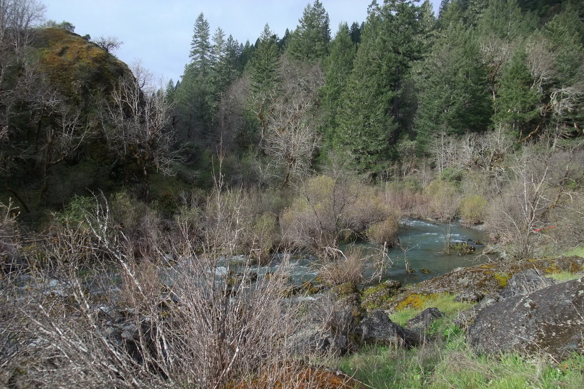
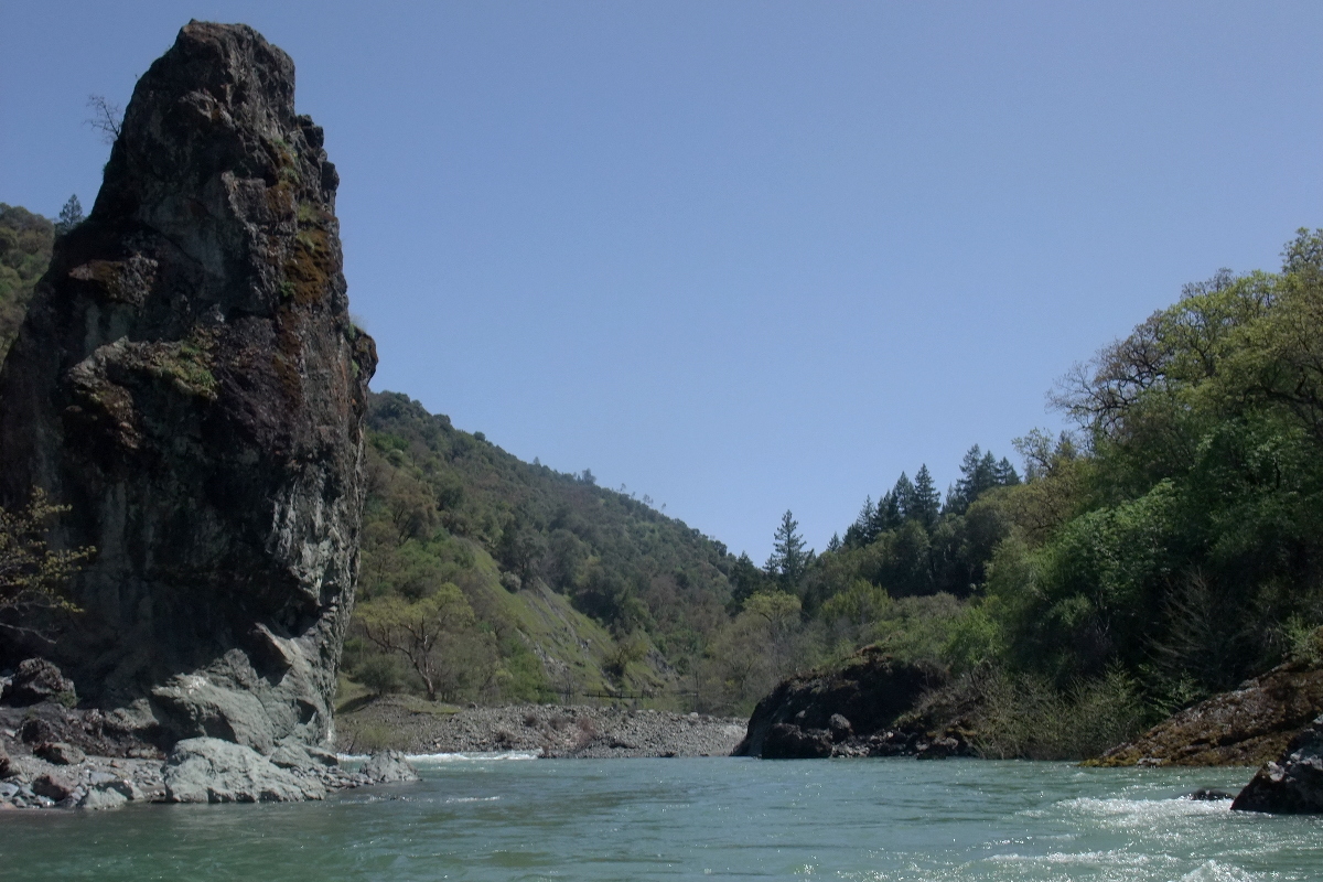
Confluence, where the canyon thankfully opens up.
On the north fork itself, rapids are widely spaced class II-III
for almost 6 miles, with a gradient of about 35 fpm.
- 3.8
-
A small knife-edge ridge appears to block the channel,
but the river flows around it to the right, then along the back side.
- 5.0
-
Lightfoot Creek enters in a large valley on the left.
Shortly after, a small waterfalls appears on the right.
The first hard-rock cliff soon appears on the left,
and the topo map shows the gradient increasing to 80 fpm,
although nothing major happens for about a mile below Lightfoot Creek.
-
- 6.0
-
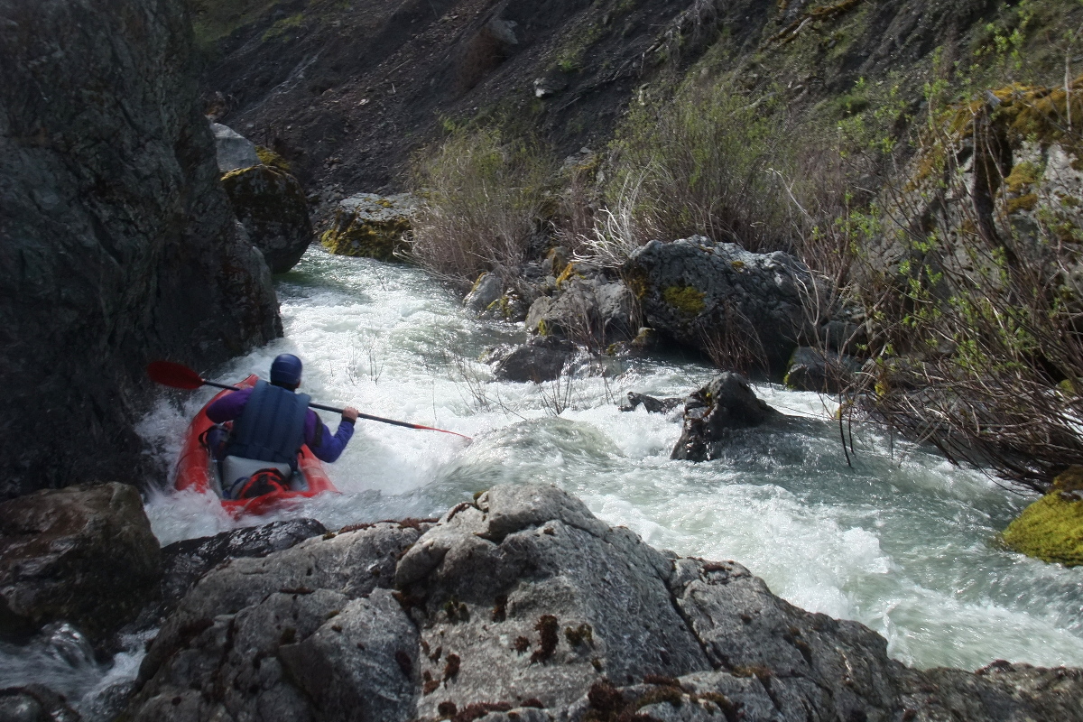
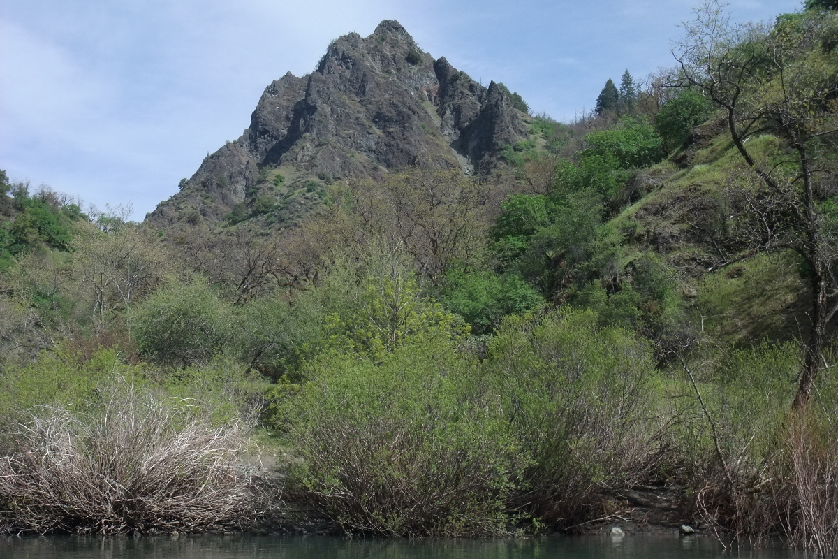
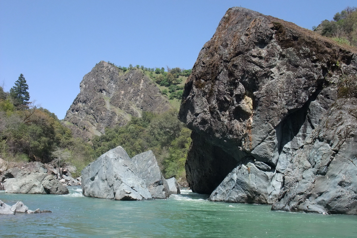
At a right bend where a 400' pinnacle peak comes into view ahead,
on the right side of the canyon, the first major rapid occurs.
During winter of 1998 with flows at Mina bridge around 1300 cfs,
we ran this and considered it class IV+.
During spring of 2010 with similar flows,
the crux drop near the bottom was blocked by a log,
requiring a partial portage.
Some of us portaged right and ran the final drop on the right,
while others ran the upper left and finished by portaging on the left.
-
- 6.4
-
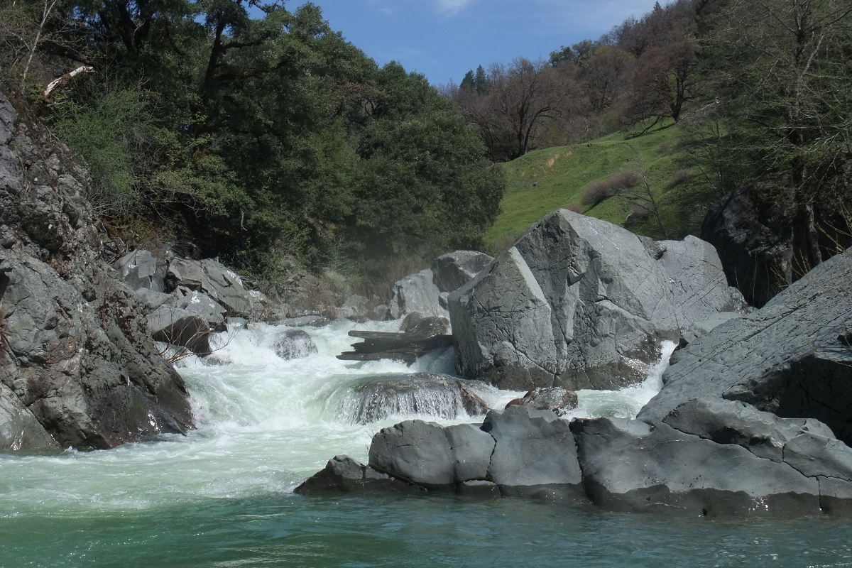
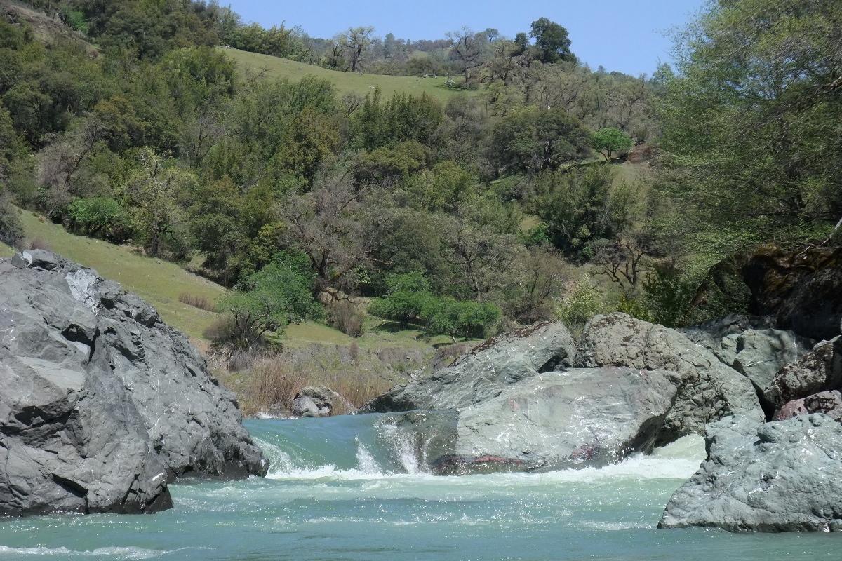
After In another .3 mile, although it seems further, another major rapid occurs.
In 1998 it seemed class V+,
and in 2010 had some slots that looked too narrow or log-choked to run.
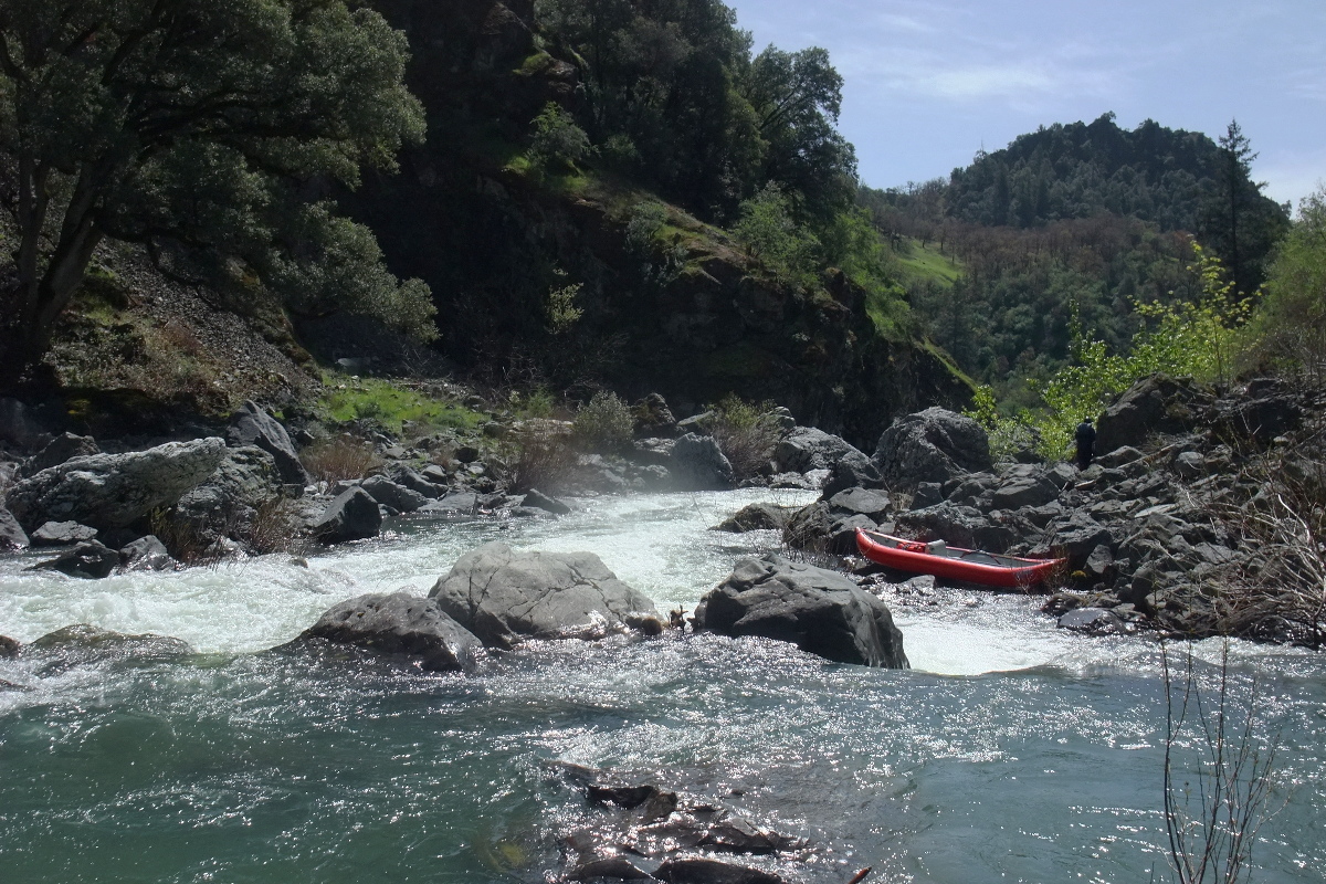
The lining and/or portaging route is on the right.
Both times it was possible to shorten the portage
by running some class IV drops starting from a pool on the right
and finishing at the bottom along a cliff on the left.
-
- 6.6
-
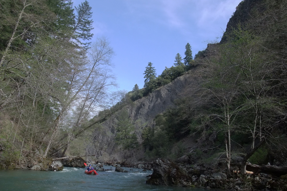
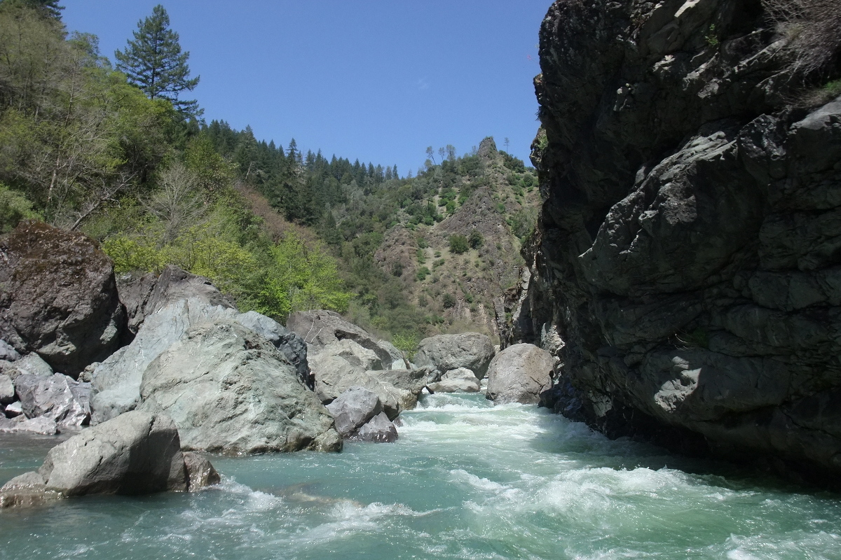
After the mandatory portage, the overall gradient increases
and you encounter frequent class III-IV rapids,
mostly rock slaloms, sometimes quite long.
Several rapids in this section are class IV in difficulty,
the last of which occurs (surprisingly) after the canyon opens up.
- 8.5
-
A diamond-shaped rock juts up from the left of the channel.
- 10.4
-
Some concrete pillars appear on each side of the river
where an old road crossed on a bridge, probably washed out in 1964.
-
- 12.3
-
Hulls Creek, with a high drainage and significant snowmelt,
joins the north fork, greatly increasing flows.
This is the defunct take-out and put-in for upper and lower runs.
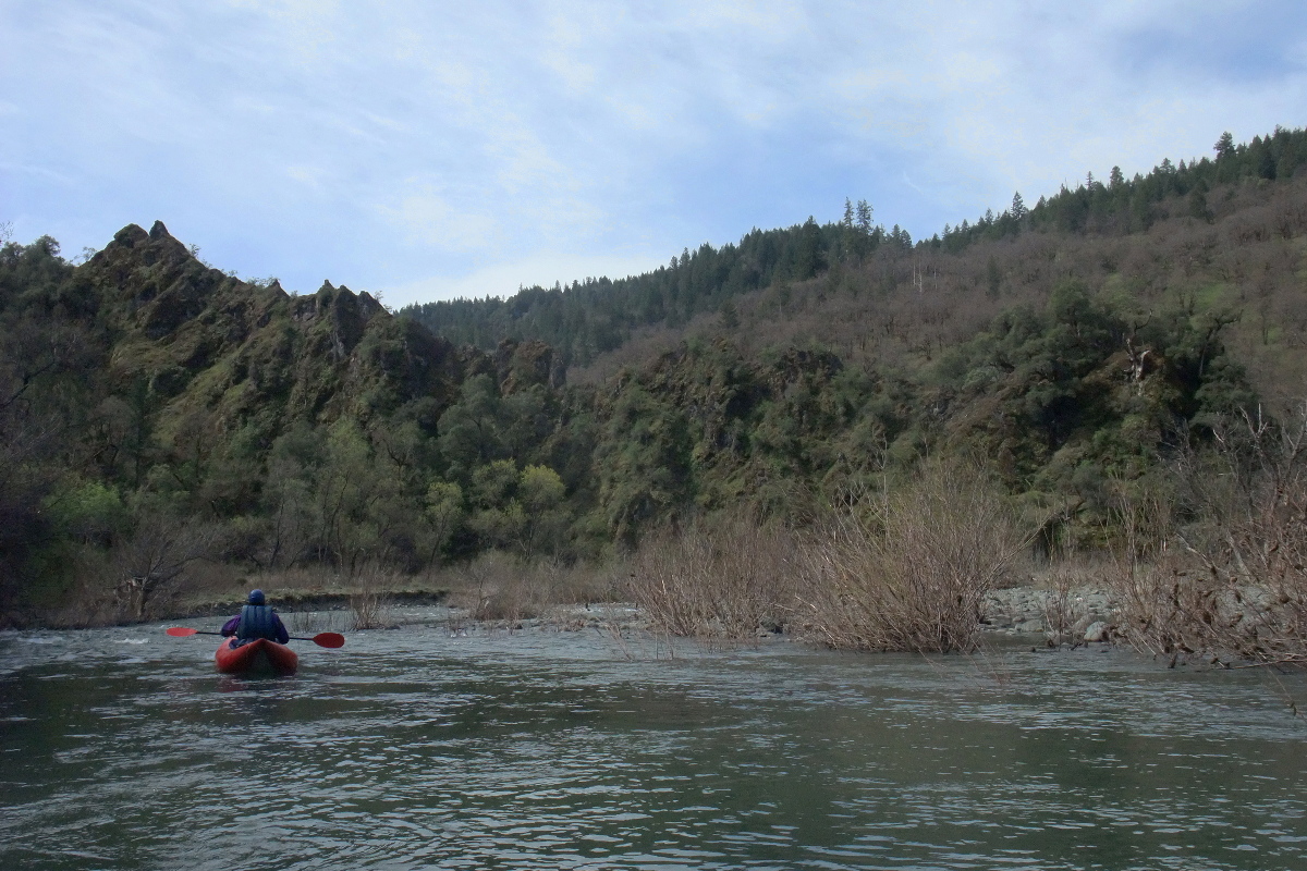
Most rapids are relatively easy, except as noted below.
-
- 12.8
- Big Rock, class III, where the current piles into a large rock blocking the channel.
- 15.3
- The Narrows, class III+, which at higher flows becomes a waterfalls slanting left,
with an unrunnable channel on the right.
- 15.8
- Boulders Right, class III, where large boulders block the right part of the channel.
- 17?
- Rocky Spot, class III, a wide boulder field with rock-strewn channels on left and right.
- 17.2
- First house of Mina visible high on river right.
- 18.4
- Last house of Mina above a large gravel bar.
Afterwards, the wilderness closes in again.
- 20.7
- Take out on the right above the Mina Road bridge, avoiding the retaining wall
by taking a trail that leads right then slants left to the road.
No vandalism has been reported for vehicles parked on the north side of the bridge.
-
Downstream the north fork drops steeply,
with gradient sometimes exceeding 100 fpm, to its confluence with the main Eel.
This section isn't that bad in itself, except near a spire,
but the 24-mile paddle out on the main Eel is arduous,
making for a run that Jim Cassady “wouldn't do” again.
Shuttle Directions
To reach take-out, drive north from Covelo.
Instead of bearing right towards the middle fork put-in and Mendocino Pass,
go straight onto Mina Road, which continues straight north for a bit,
then turns sharply several times and starts to climb.
Soon it becomes a rough dirt road.
After quite a while you reach the crest among big trees, then descend steeply to the river.
Park on the north side of the bridge, without blocking a gate to the west.
To reach put-in from there, continue northward past the bridge on road 503,
past the ranches of Mina, then climbing onto a ridge.
The road changes to pavement now and again, but is easy to follow even at night.
On the AAA map this is designated Lake Mountain Road.
After 22.3 miles, turn right onto the Hoaglin Valley Road shortcut.
In 2.6 miles, turn right onto Long Mountain Road.
Bear right at a Y, avoiding the airport, and descend 2.5 miles to Salt Creek.
Primitive campsites are on two levels north of the creek.
|
|
Creeks Navigation
Home
Recommended Runs
Map of Rivers
Alphabetic Index
Alphabetic Table
Text Search
Sponsored Links
|