| |
| Stretch: |
Highway 12 to Coyote Creek or Powell Reservoir |
| Difficulty: |
Class I with some II+ and a IV, flow measured near put-in |
| Distance: |
72 to 93 miles, one week or more |
| Flows: |
kayaks 150 - 600 cfs approximately
|
| Gauge: |
put-in much lower than take-out flow
(USGS) |
| Gradient: |
21 fpm average |
| Put-in: |
Highway 12 bridge near Calf Creek, 5200' |
| Take-out: |
Powell Reservoir, or 40 Mile Ridge via Coyote Creek, 3700' |
| Shuttle: |
80 miles or more (many hours) one way, shuttle recommended |
| Maps: |
National Geographic's Canyons of the Escalante, Delorme
(Topo)
|
| Season: |
late spring, melt from above-average snowpack |
| Agency: |
BLM, National Monument, NRA |
| Notes: |
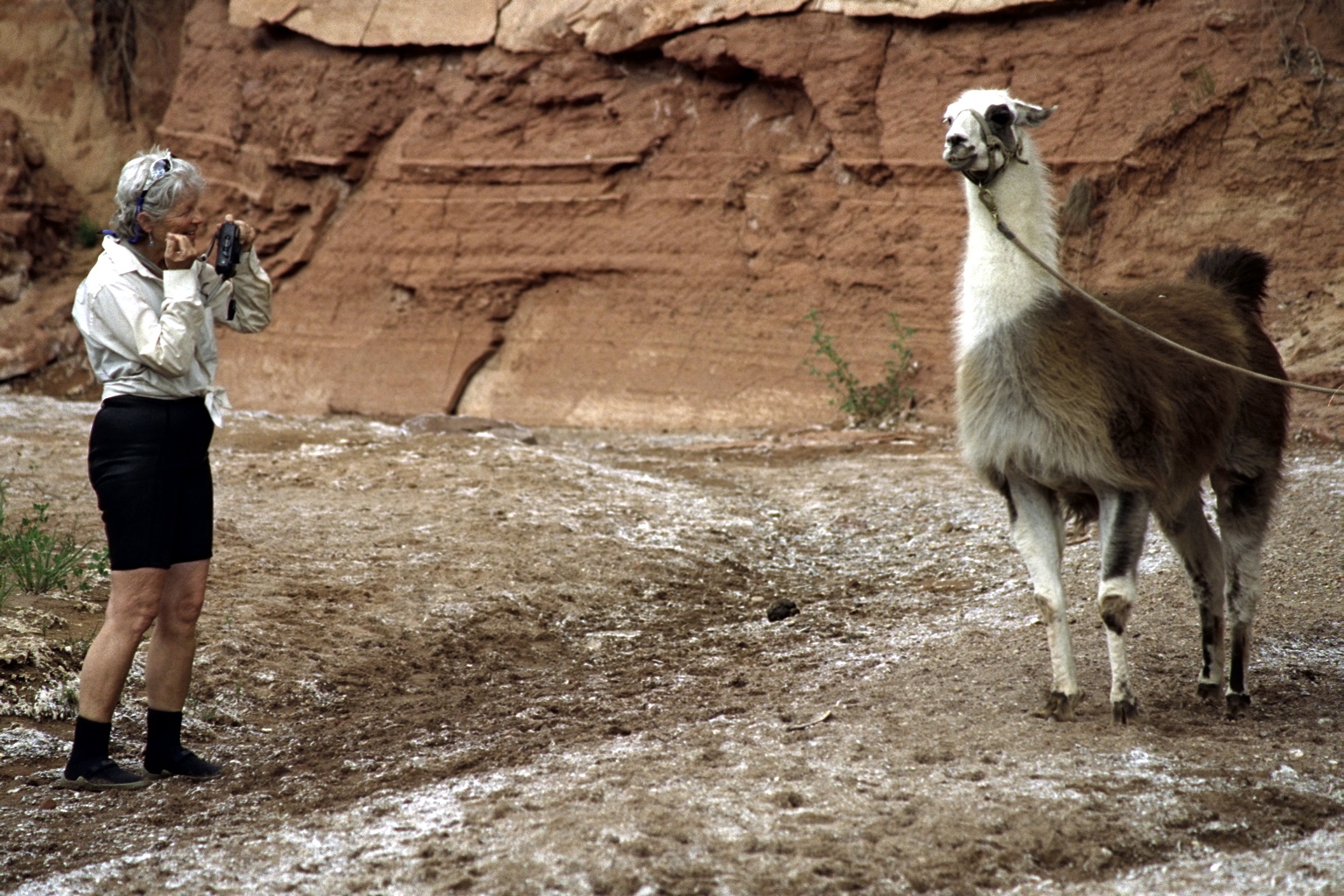
© 2011 Bill Tuthill, photos from May 2001. |
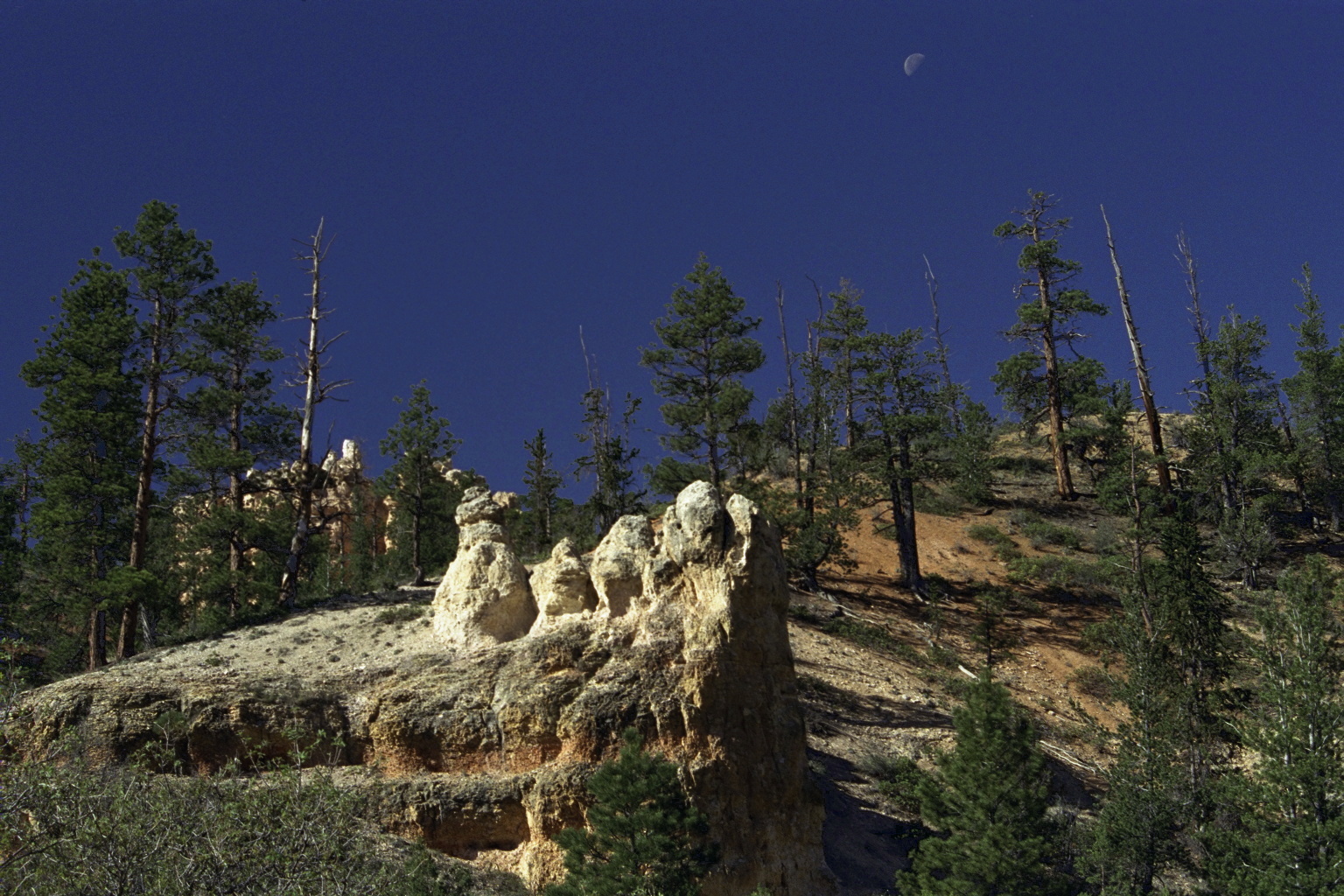
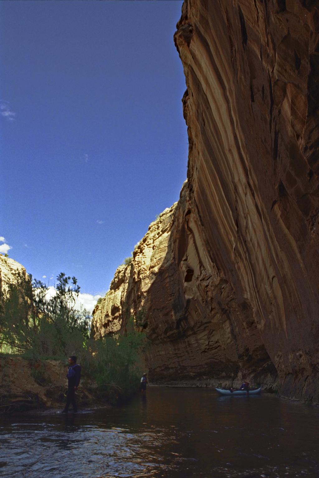
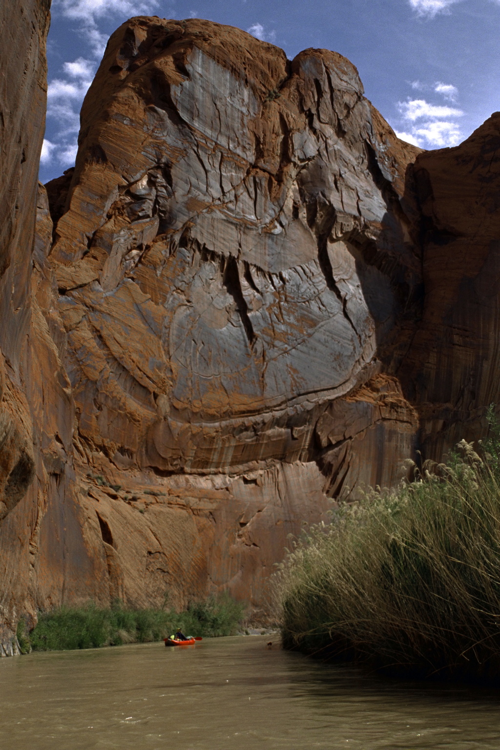
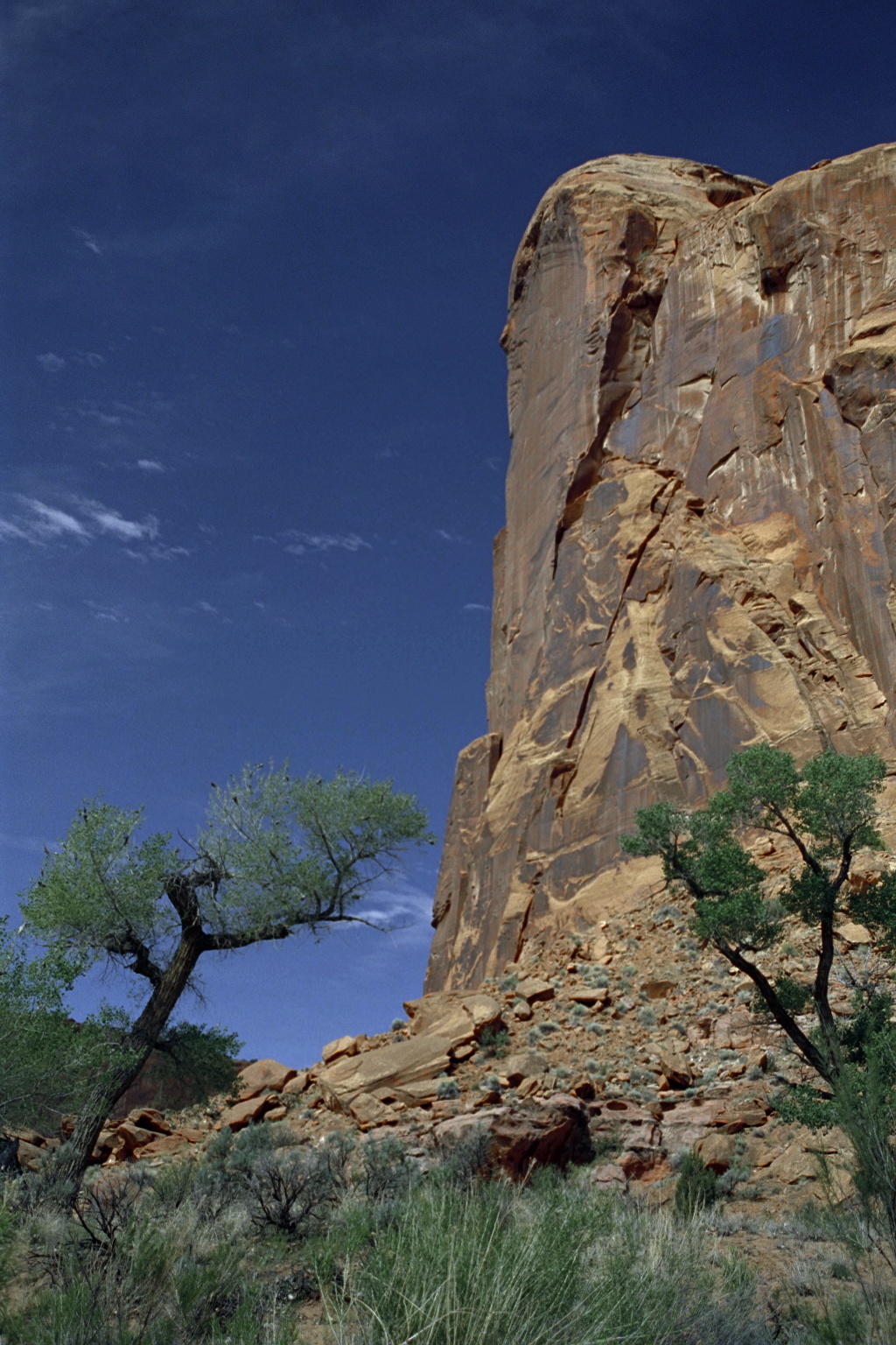
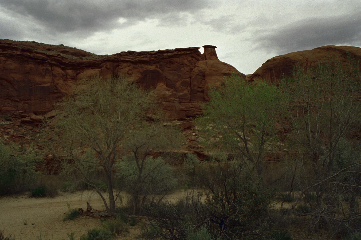
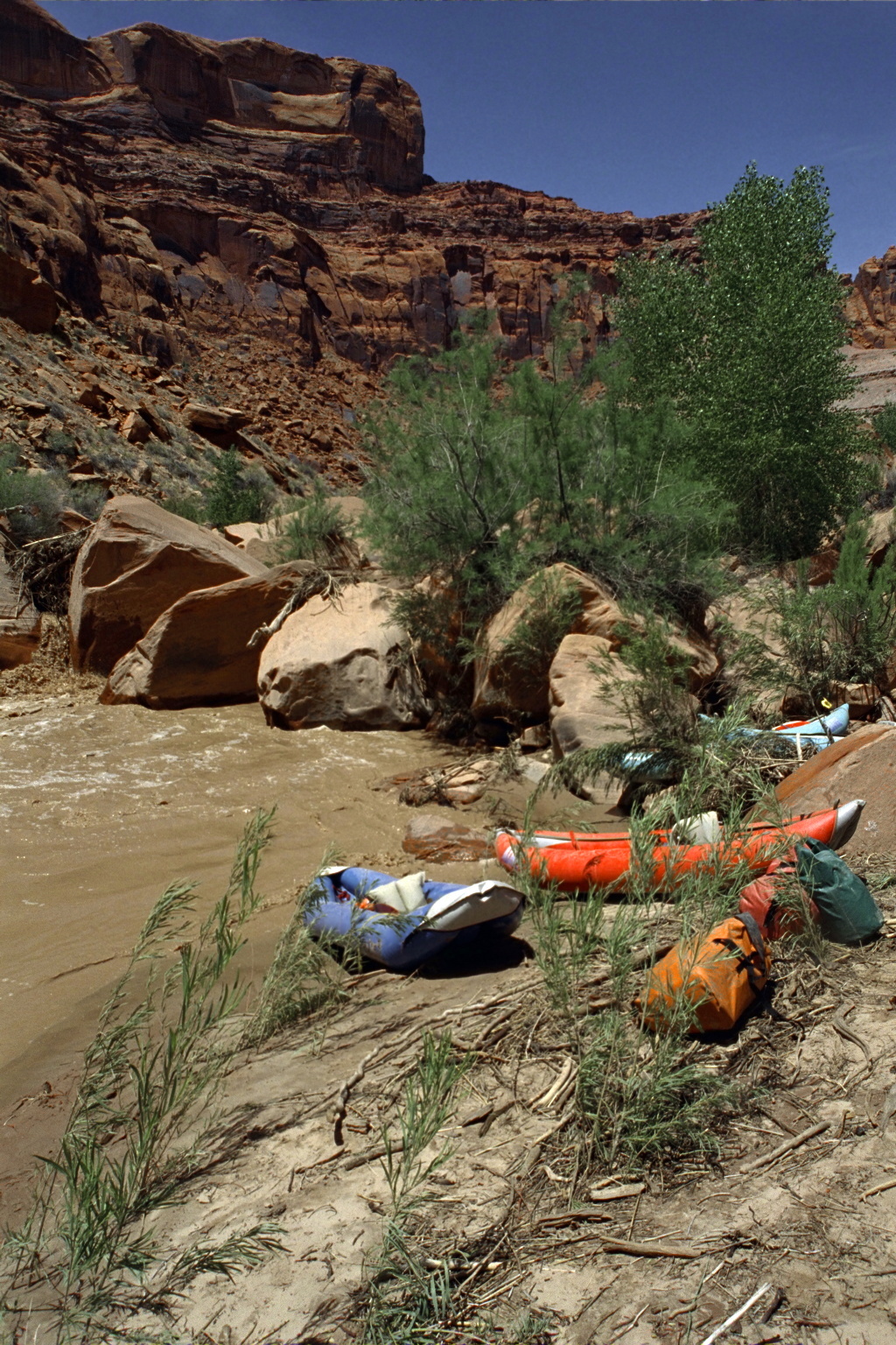
It has been called one of the most scenic waterways in the world.
Possibly it is, but the trip is difficult owing to low flow, length,
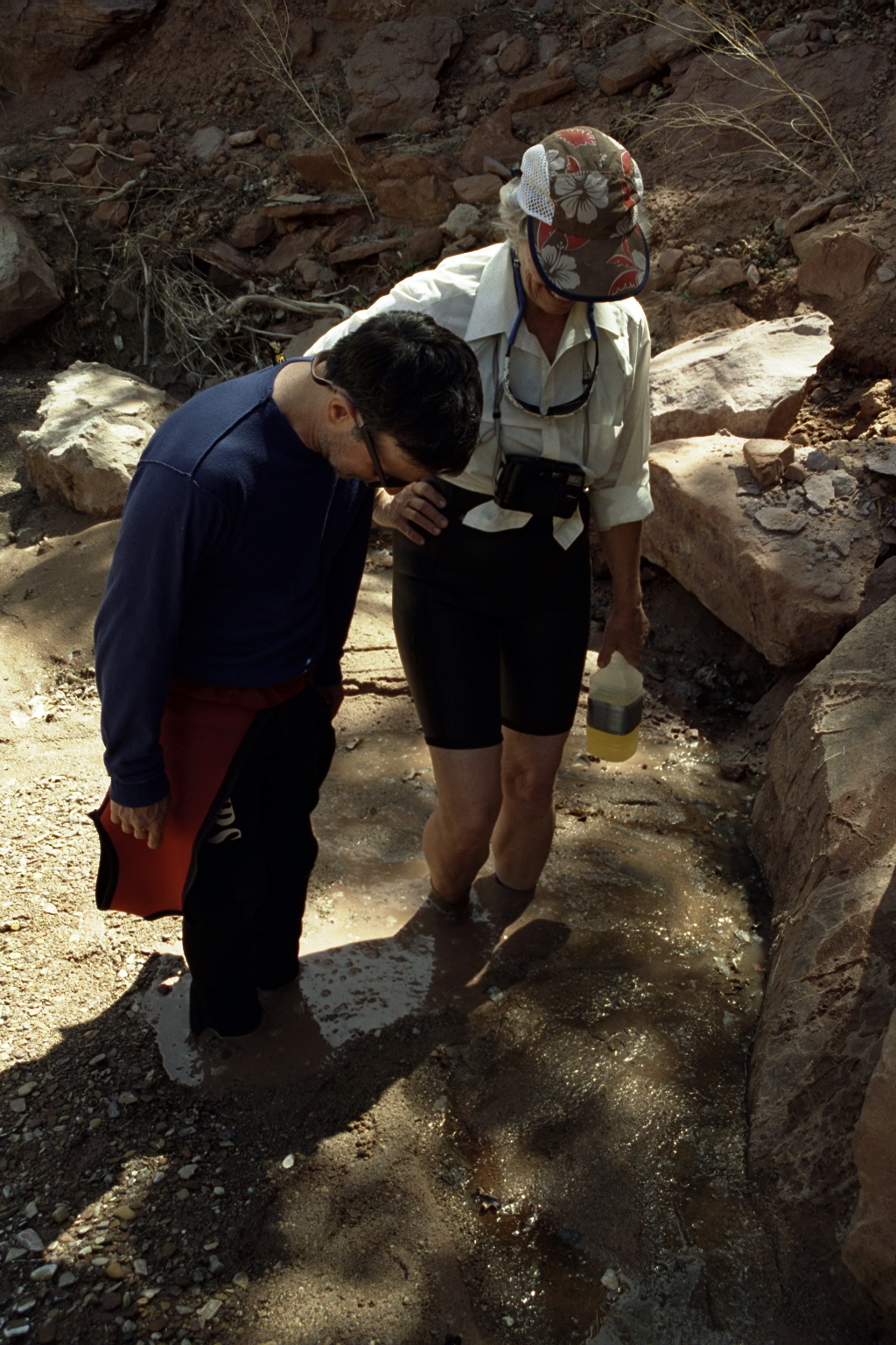
remoteness, difficulty of finding potable water, thorny Russian Olive trees
(Elaeagnus angustifolia) along the banks, and lack of good take-out alternatives.
All these factors make it a once in a lifetime opportunity, this time
we really mean it. Side hikes are excellent however, especially Coyote Creek.
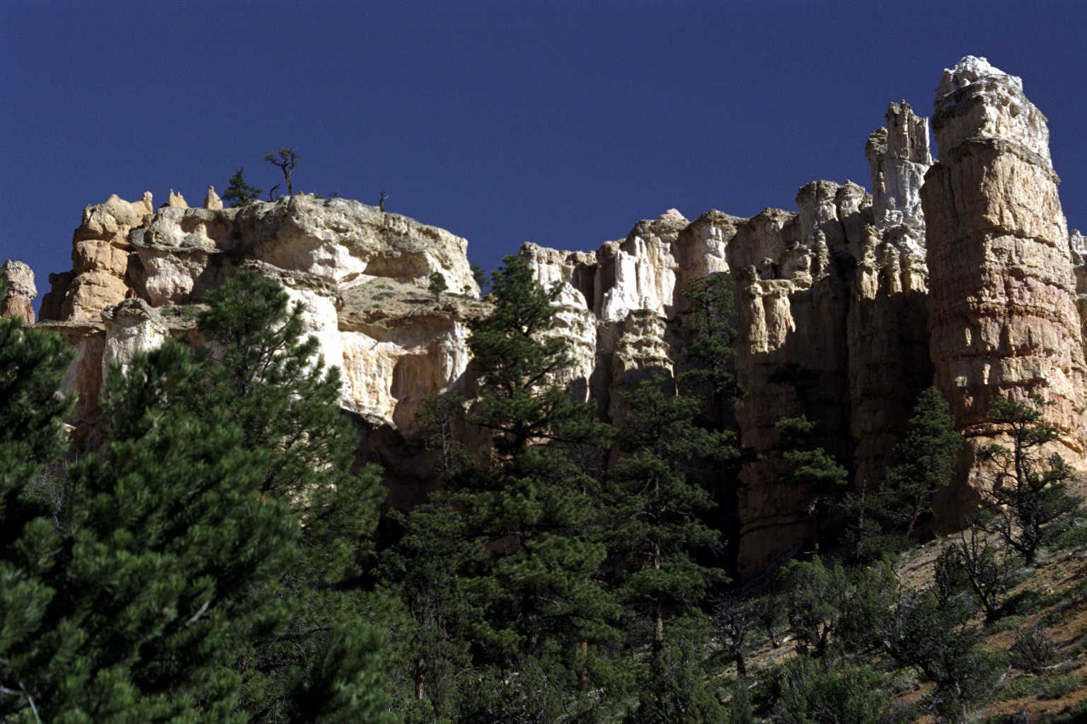
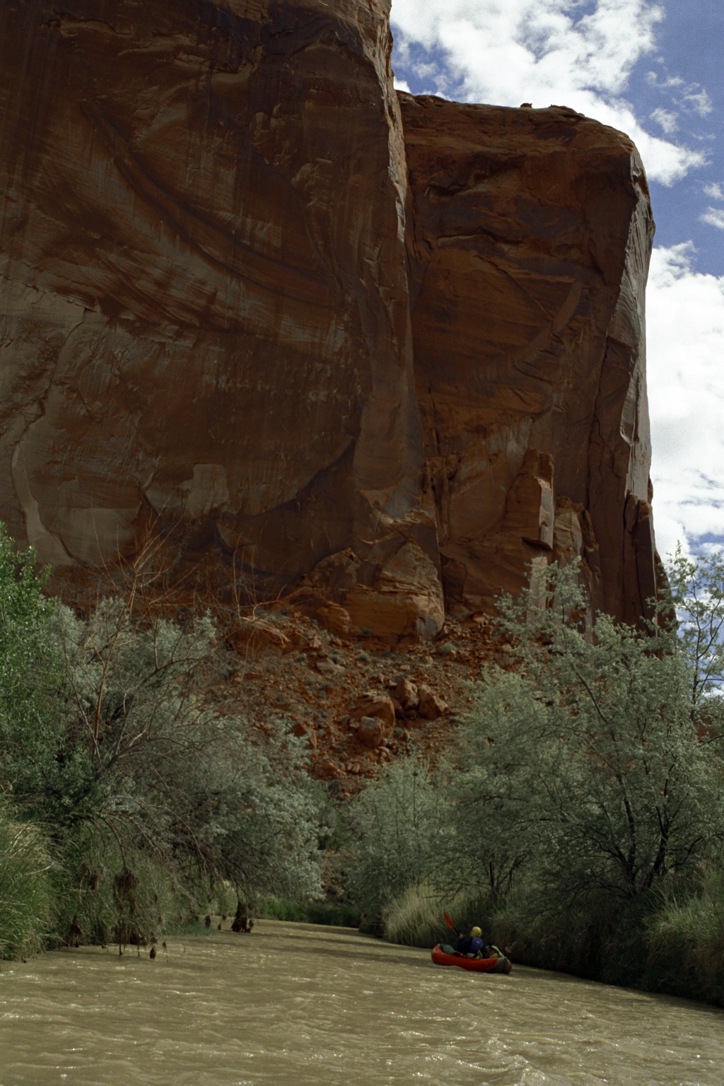
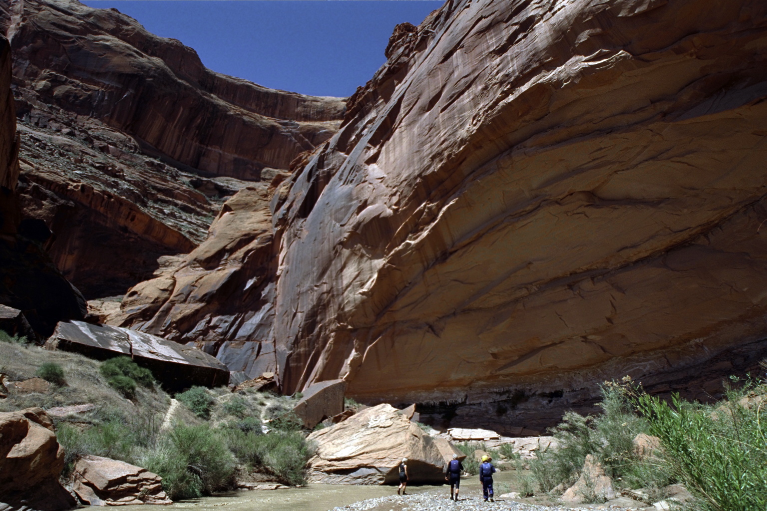
The river, or creek you might say, cuts through multiple layers of rock
that you can recall with the handy mnemonic phrase:
“many canyon walls know no capitalist exploitation” –
that is, Moenkopi, Chinle, Wingate, Kayenta, Navajo, Carmel, Entrada
(bottom to top).
If Powell Reservoir were reliably full, enabling frequent motorboat traffic,
perhaps a McDonulds ad on Stevens Arch could eliminate the federal deficit.
The Gary C. Nichols guidebook
River Runner's Guide to Utah and Adjacent Areas (1986)
complains about cattle grazing upstream of Scorpion Gulch,
but either this stopped when the canyon was declared part of
Grand Staircase-Escalante National Monument, or we did not notice.
Nichols recommends 10" on the put-in bridge at Calf Creek.
The Cassady/Cross/Calhoun guidebook Western Whitewater
says this river was the last in the US discovered by white men,
and that highest flows could occur anytime from early May to mid June.
- mile
-
- 0
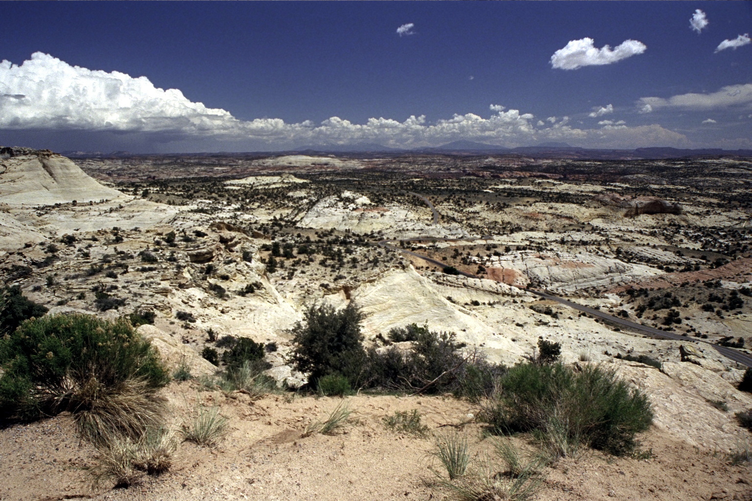
- Put in at the riverside park northwest of the highway 12 bridge.
Although Calf Creek enters just below the bridge, flow remains skimpy.
In 2001 we saw many large fish in Calf Creek.
-
- 6
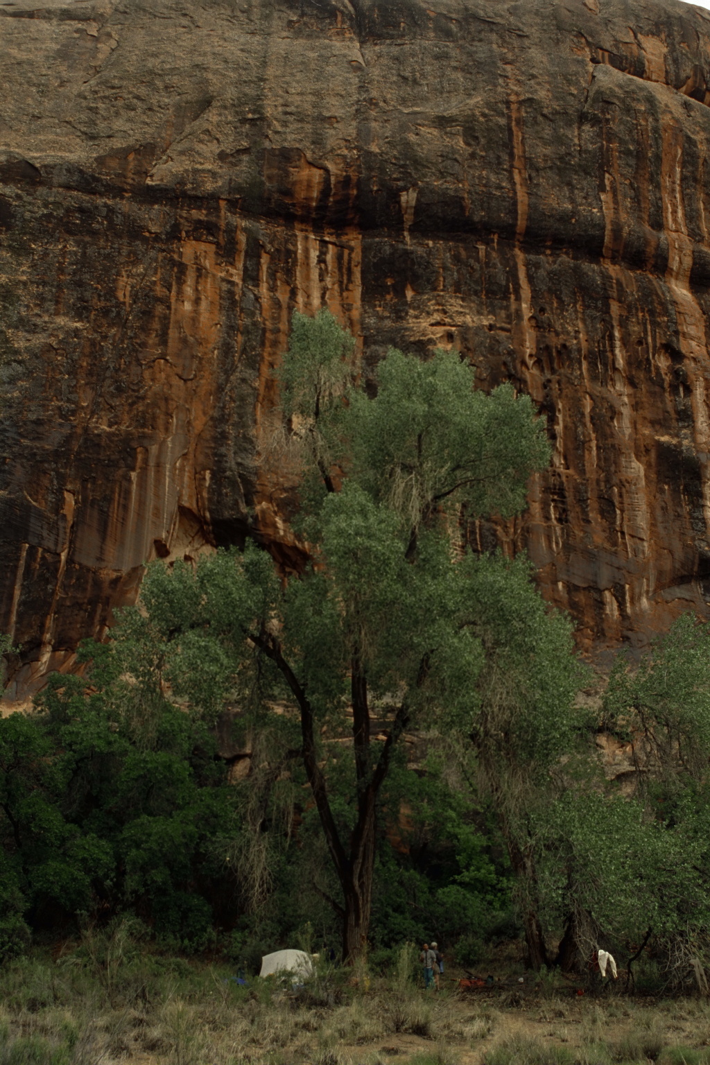
- Good campsite on the left bank with clear water from Deer and Boulder creeks.
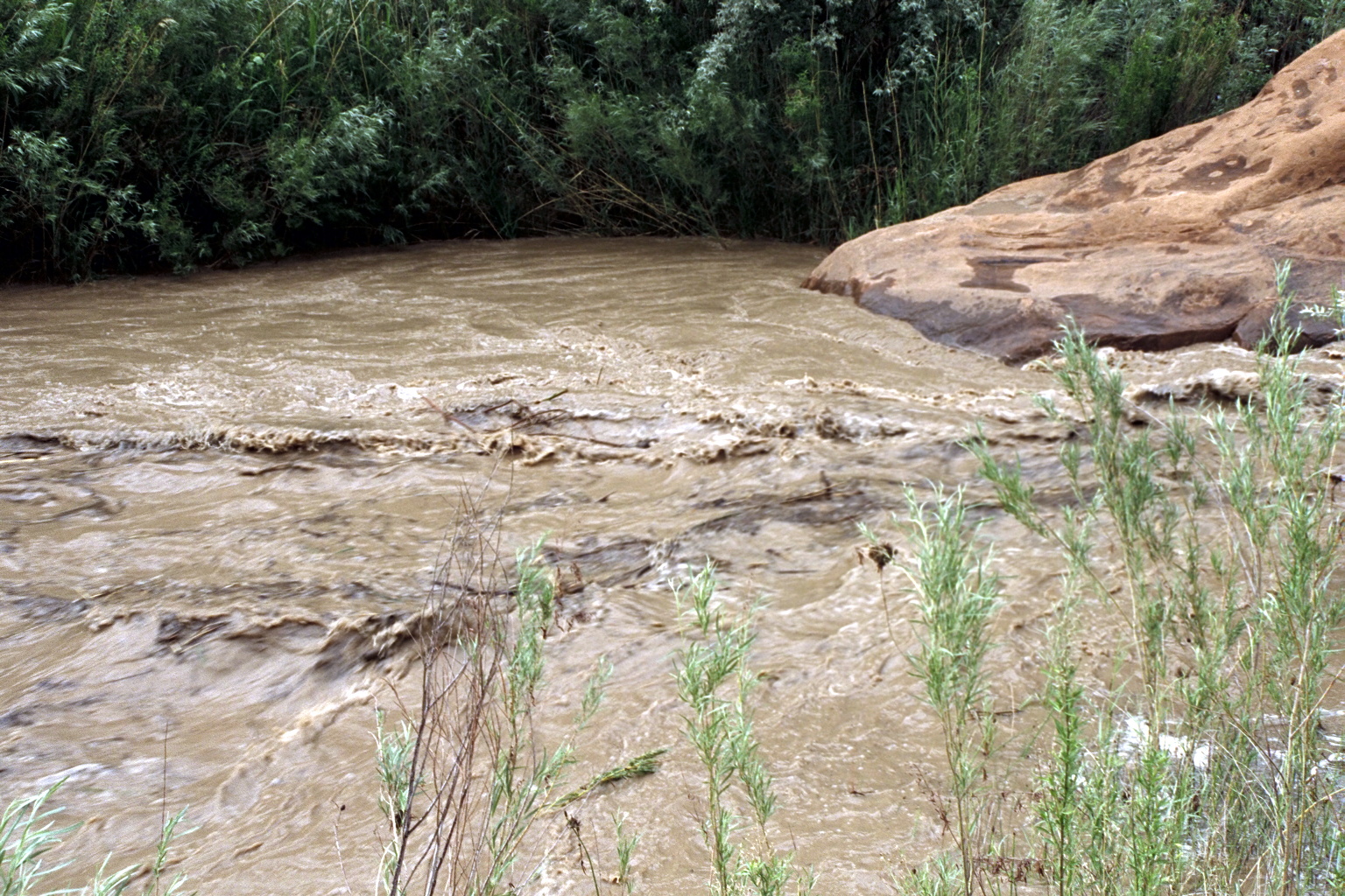
The river is slow until this point, but the added water hastens flow.
-
-
-
-
-
- 15
- Spring on the right bank, across from a campsite at The Gulch.
-
-
-
- 18
- Horse Canyon enters on the left. Excellent side hike.
-
- 22.7
- Unlabeled Creek enters on the left, upstream of Big Bown Bench.
- 28.7
- Silver Falls Creek enters on the left. Trailhead many miles upstream.
-
- 29.2
- Harris Wash enters on the right, with reliable semi-clear water and
many good campsites. A trailhead can be reached many miles upstream.
-
-
-
- 35.2
- Fence Canyon enters on the right. Shortly upstream the canyon splits.
The left (southern) canyon leads shortly but steeply to a trailhead.
-
- 36?
- Neon Canyon enters on the left. An easy hike, not to be missed,
although it is easy to miss, leads to a photographic bonanza.
-
- 41
- Twenty-Five Mile Wash enters on the right. Excellent campsite,
but the side hike is not as dramatic as you might expect.
-
- 46.7
- West Moody Creek enters on the left. Trailhead many miles upstream.
- 48
- East Moody Creek enters on the left. Good side hike.
- About half a mile downstream on the Escalante is a stranded meander
on the left.
-
- 54
- Scorpion Gulch enters on the right.
Immediately downstream is a large bench with good camping.
Vegetation is thick at the mouth of Scorpion Creek, making it difficult
to enter the canyon, but a Yosemite-like formation appears upstream.
-
- 58
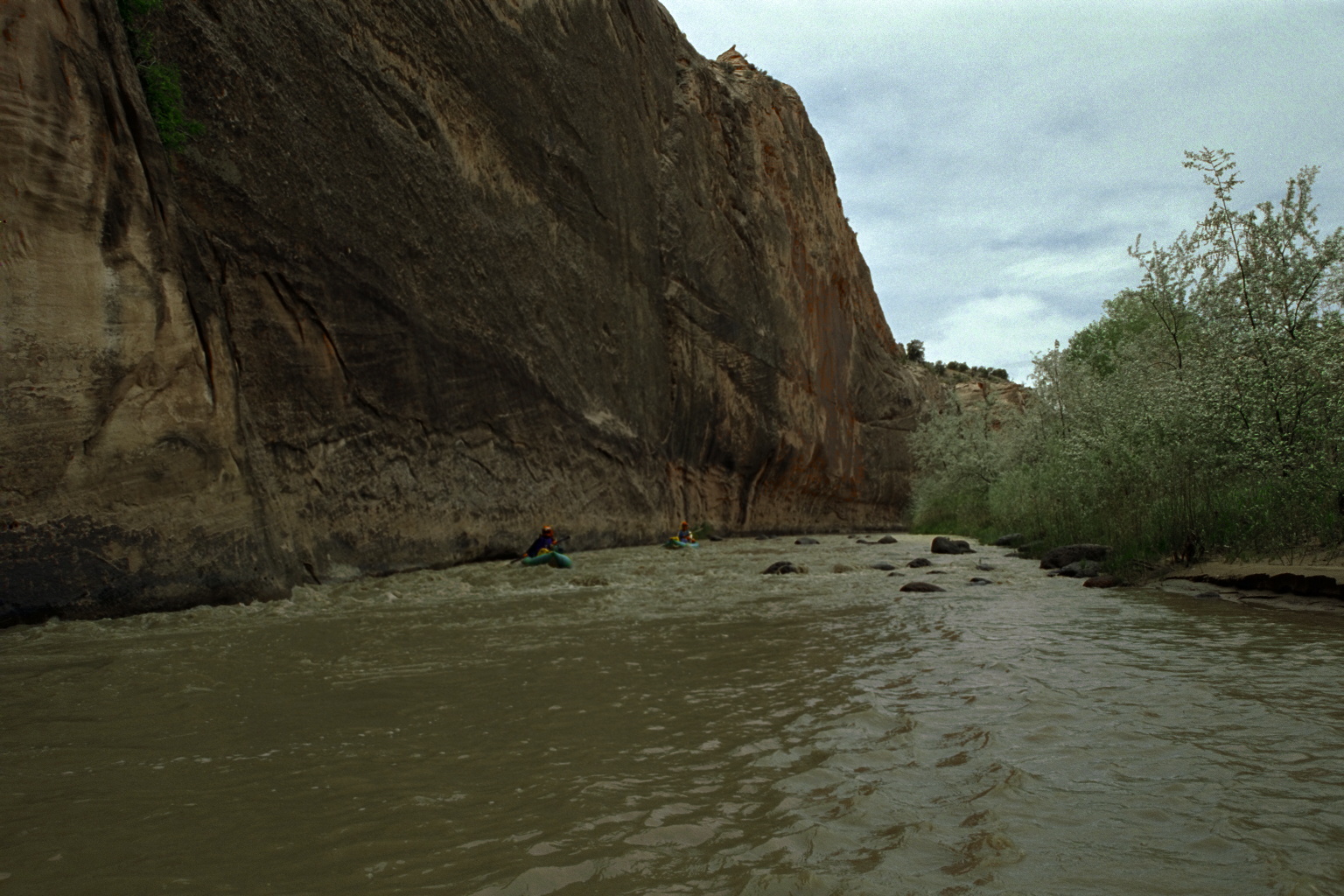
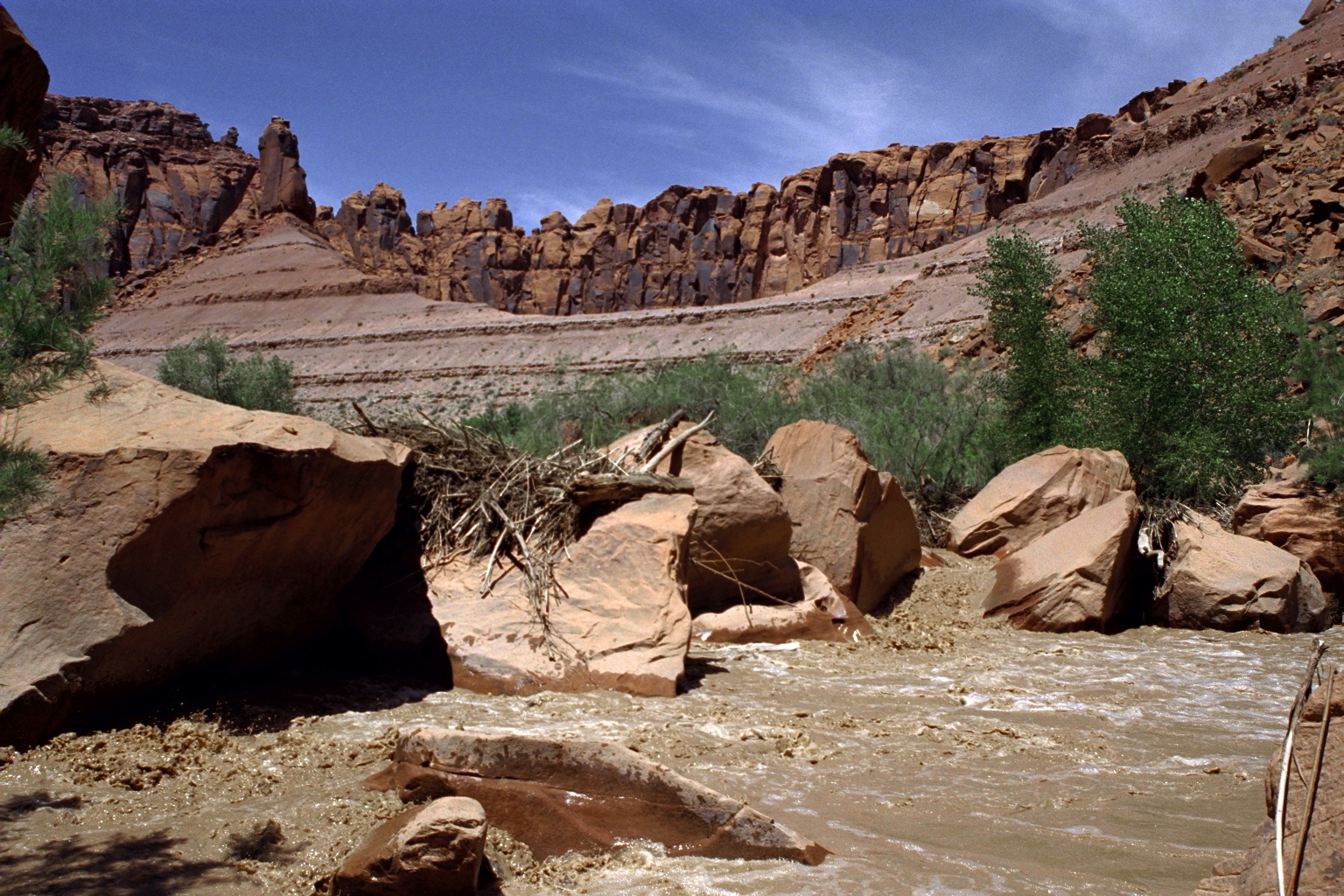
- The river bends left around a purple (Chinle?) shale formation,
The first rapid created by this rock formation is a long class II+,
which might be rated class III because of the many moves required,
however the waves are not big.
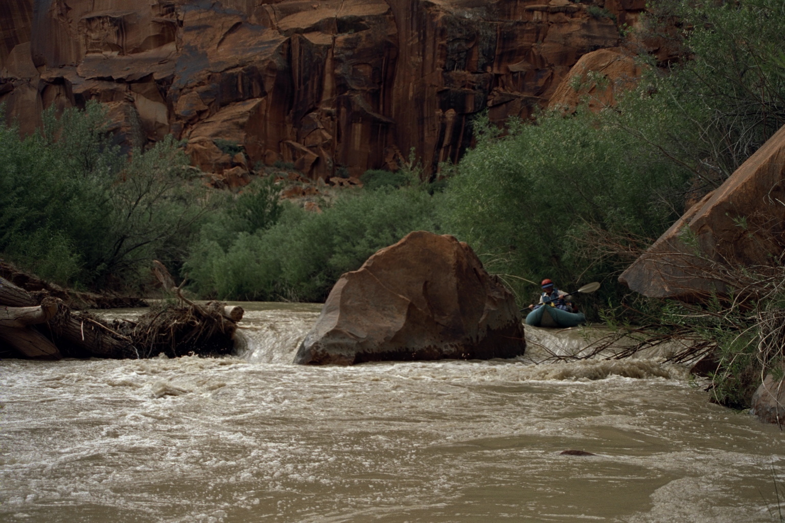
- 60
- Scorpion Rapid, possibly class IV, scout left
A second more-difficult rapid, with many big boulders, is about two miles
downstream at a sharp left bend, and created by a similar rock formation.
It probably changes from year to year, but in 2001 we rated it class IV.
A ways downstream was a similar left bend with boulders, but no rapid.
-
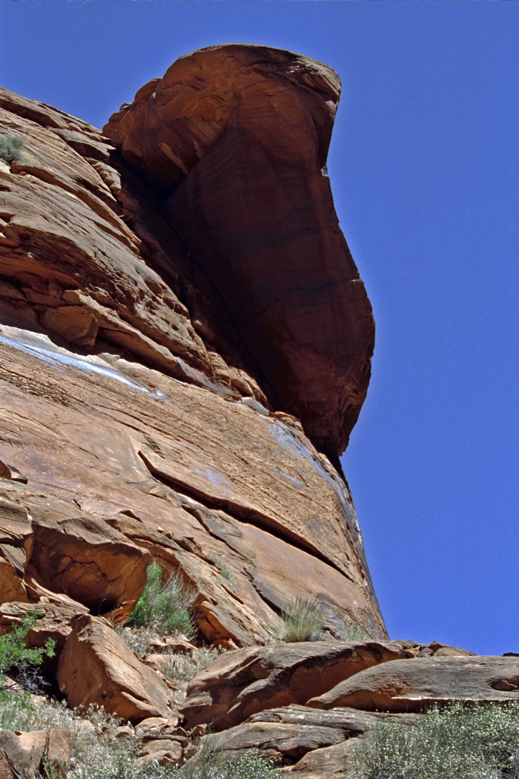
- 62
- Fools Canyon enters on the right, providing water and a good campsite.
The Elephant's Ear is visible after a short hike upstream.
-
- 70.2
- Stevens Canyon enters on the left. The river begins a horseshoe bend
around the resistant sandstone ridge where Stevens Arch was formed.
-
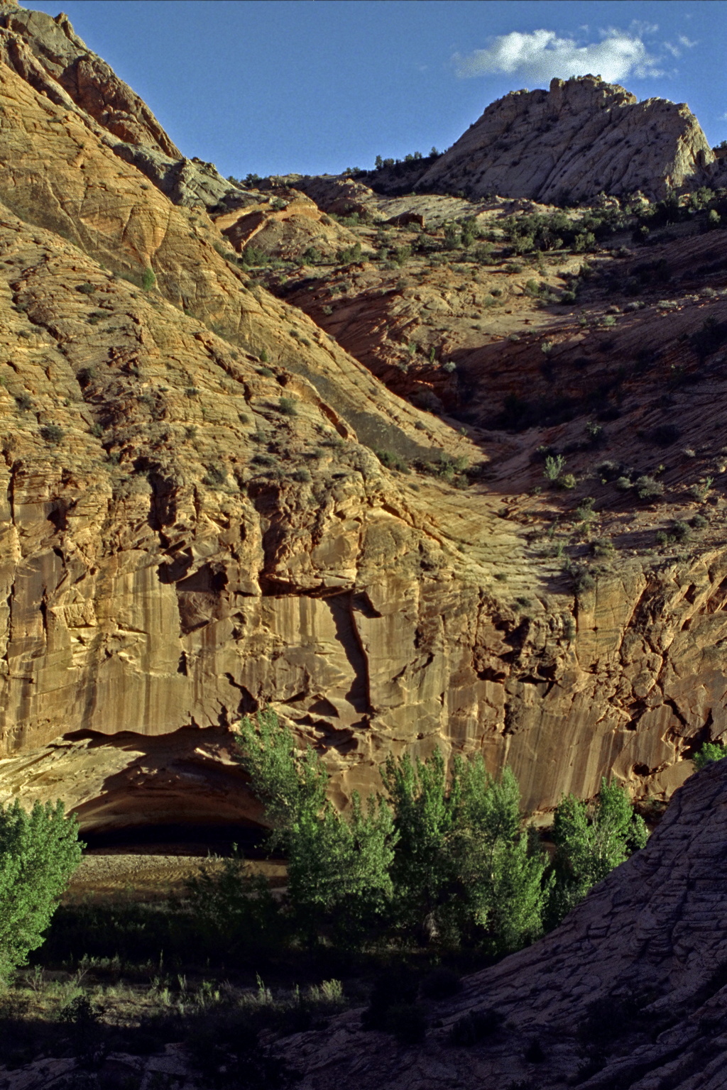
- 72
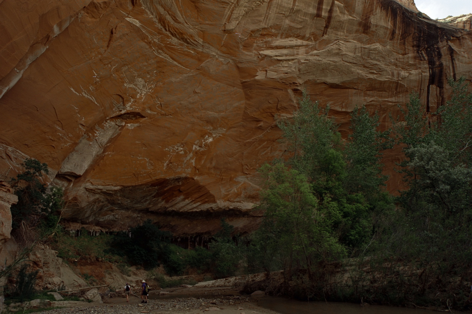
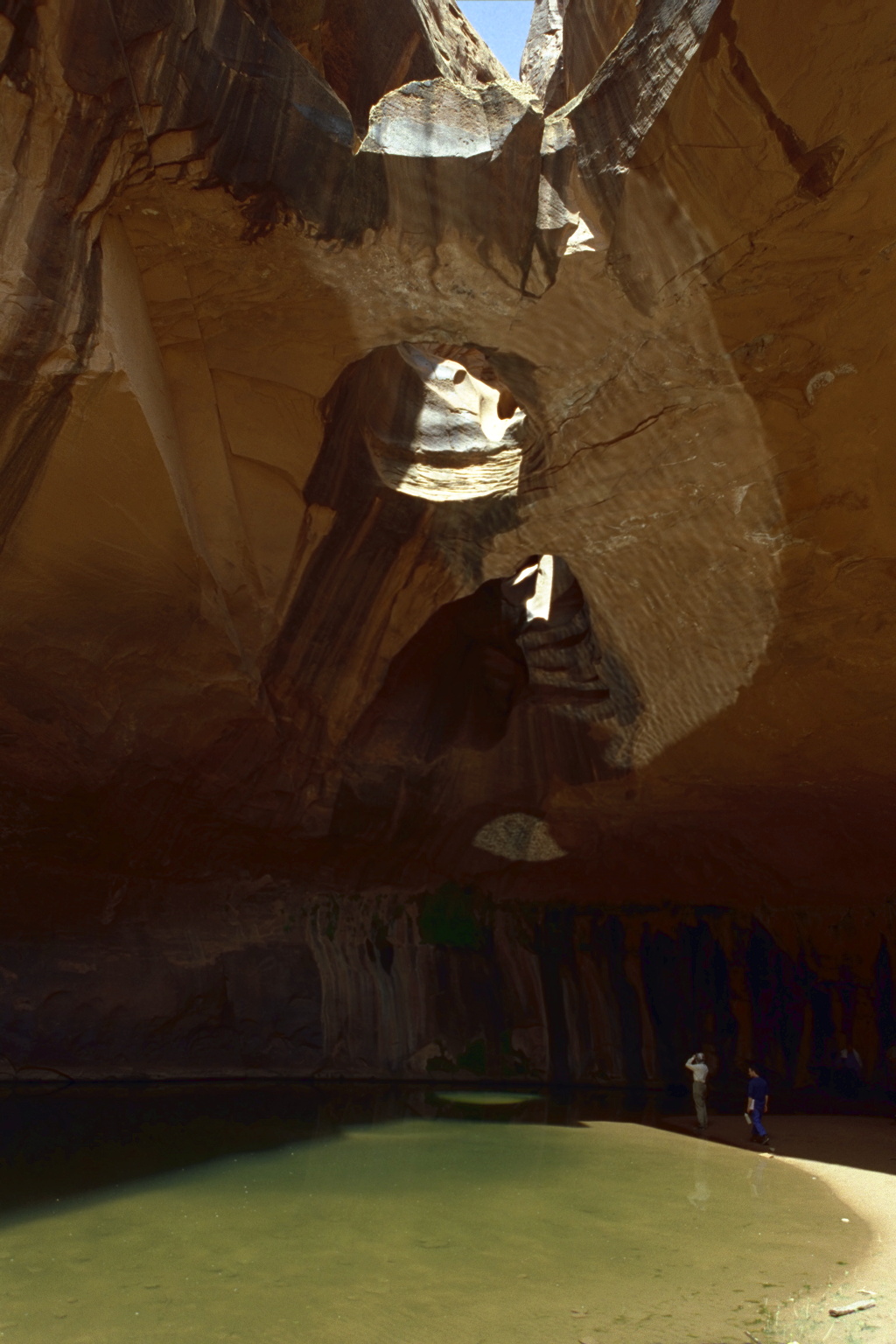
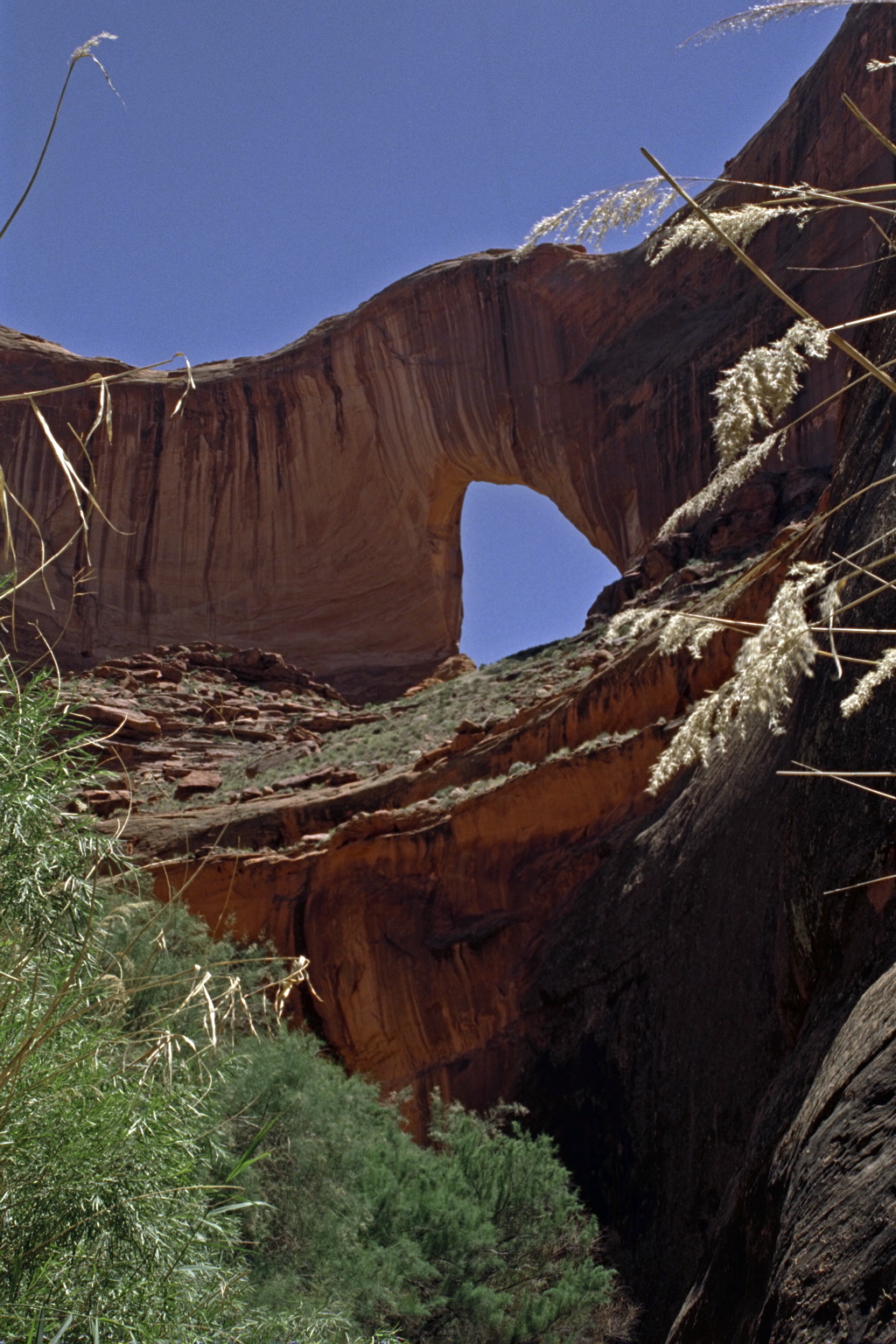
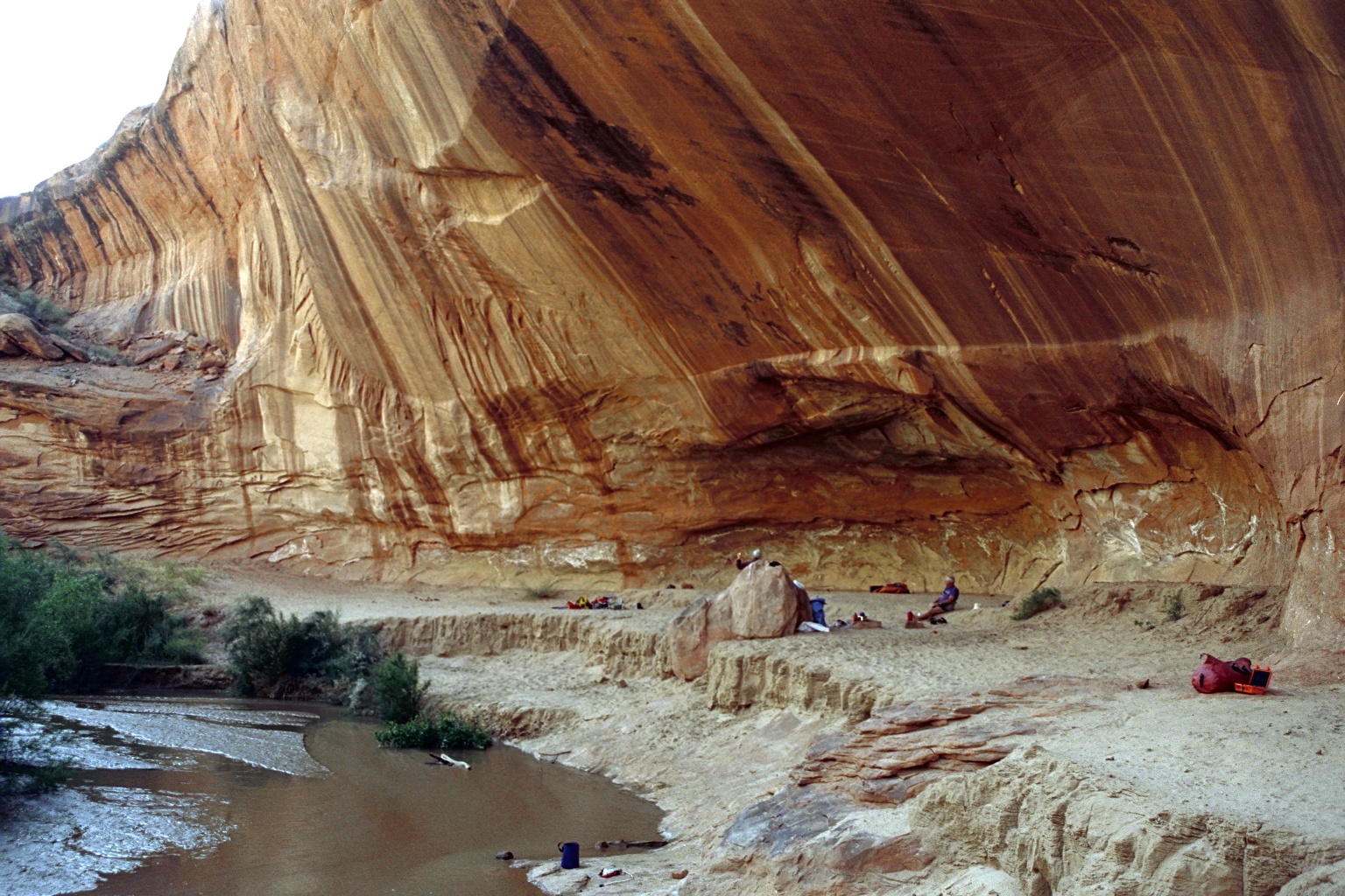
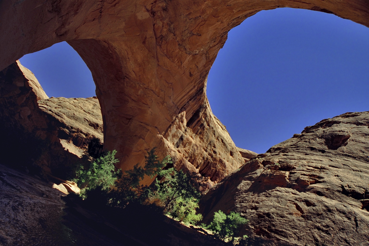
- Coyote Creek enters on the right. Good camping under the overhang.
This is the approximate high-water mark of Powell reservoir.
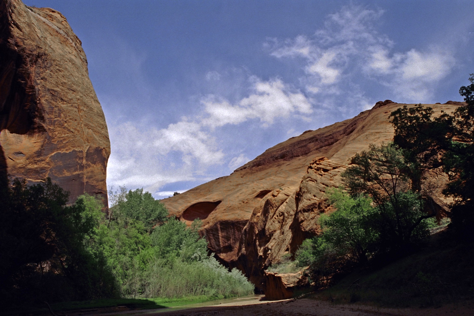
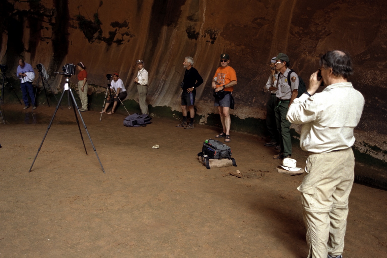
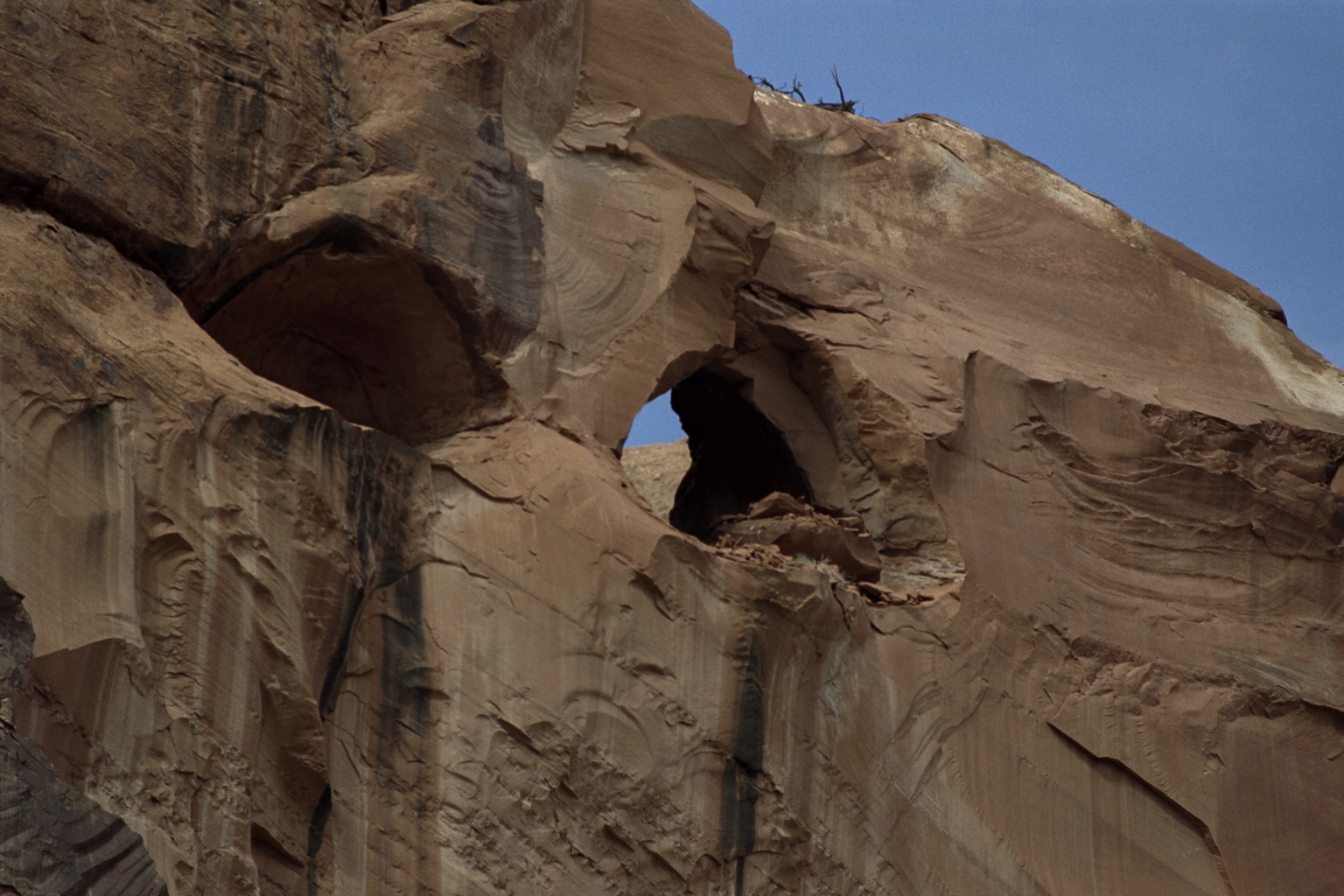
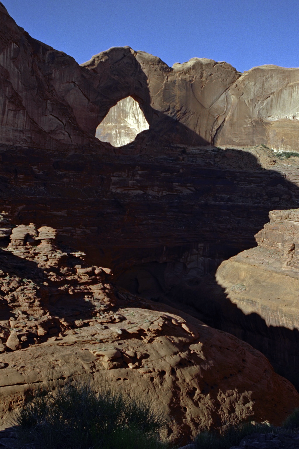
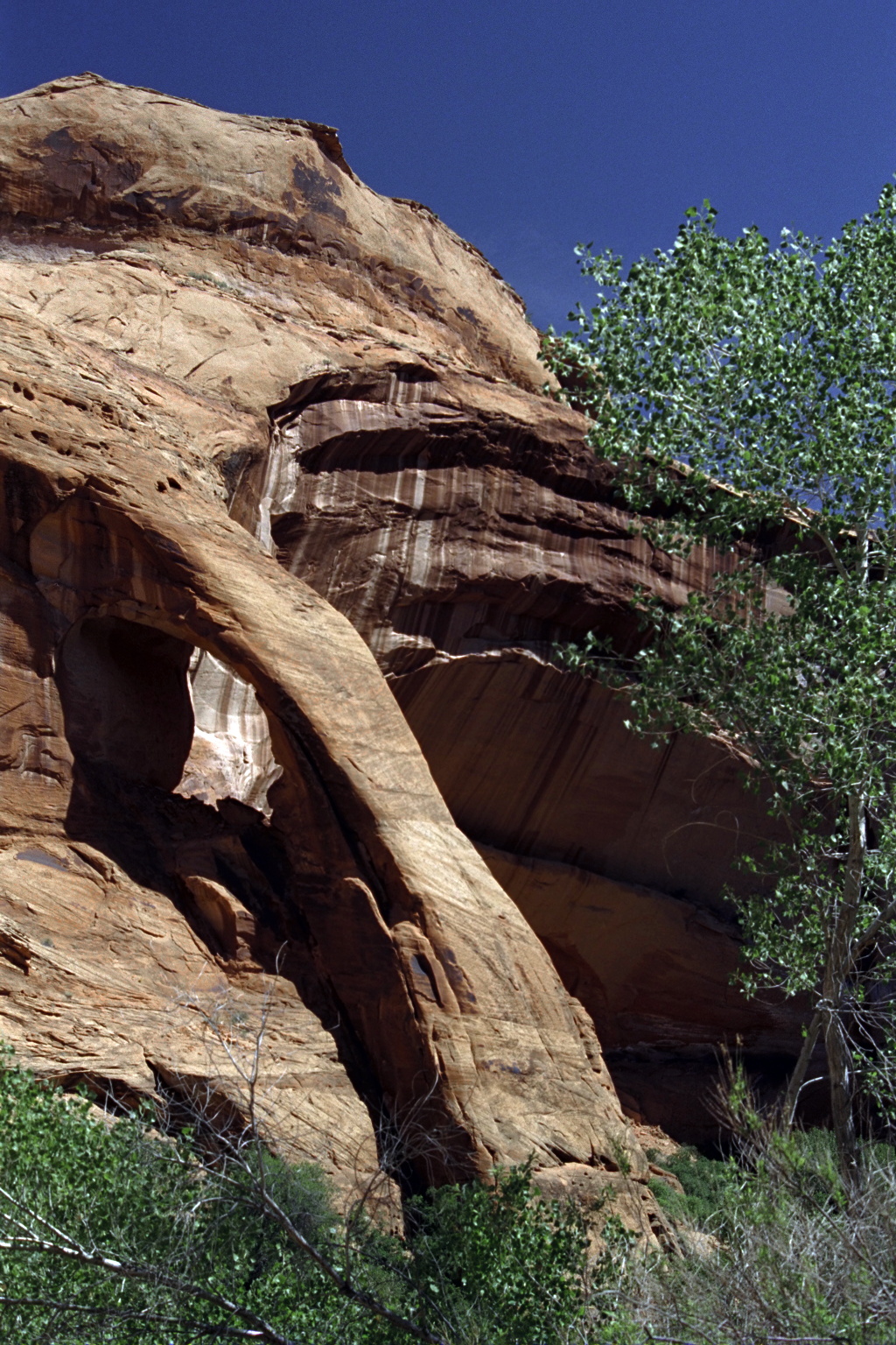
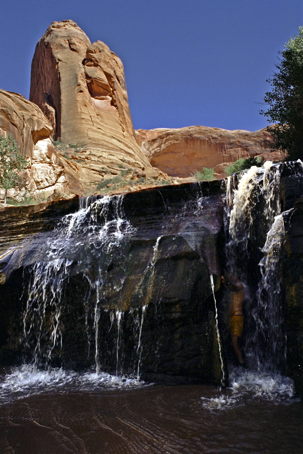
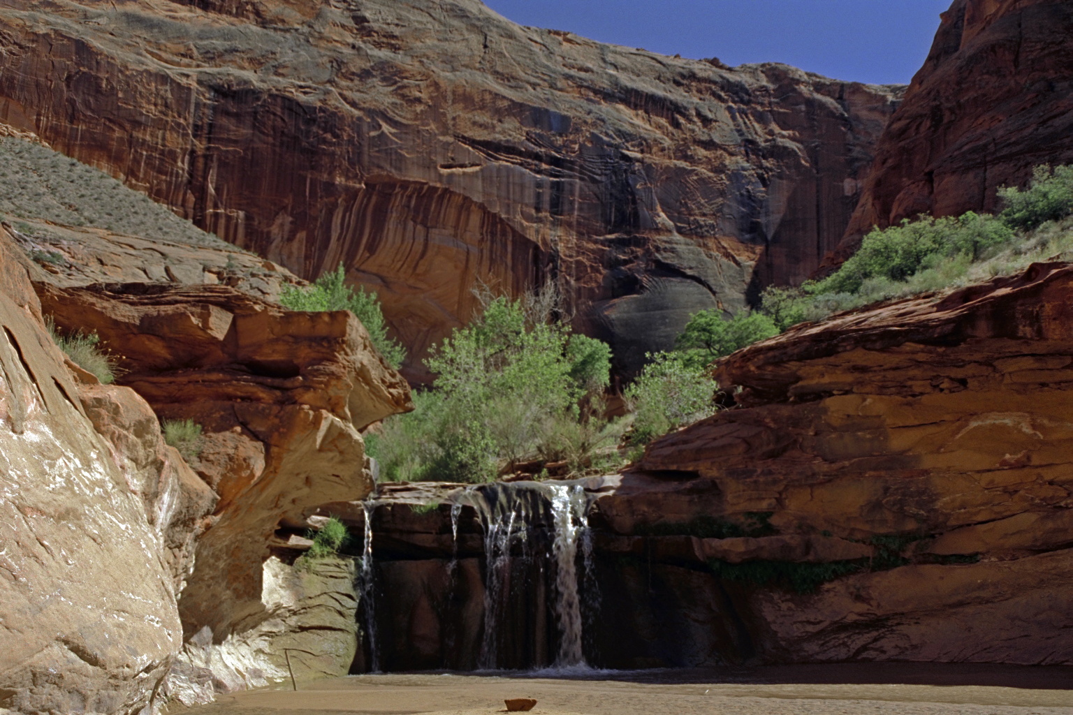
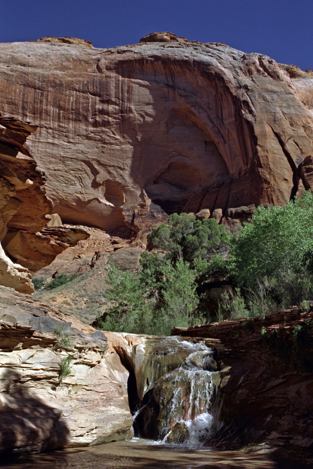
Excellent side hike up the canyon, with two arches, one double,
a natural bridge, and many scenic waterfalls in a redrock canyon.
-
-
-
-
-
-
-
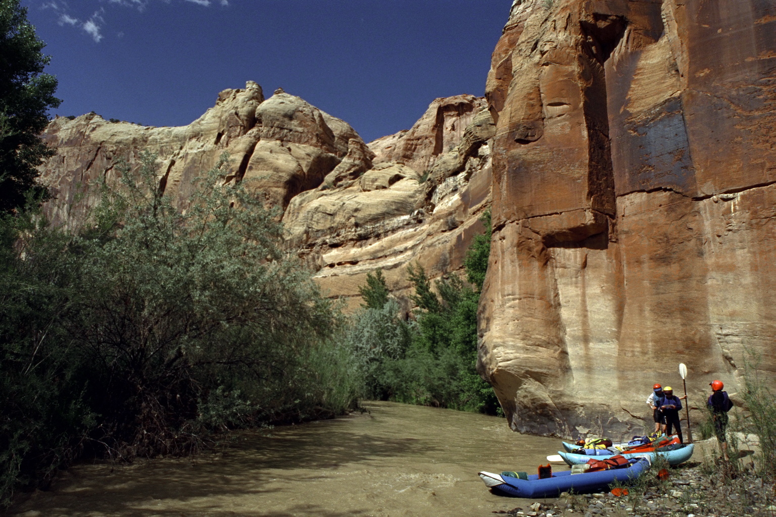
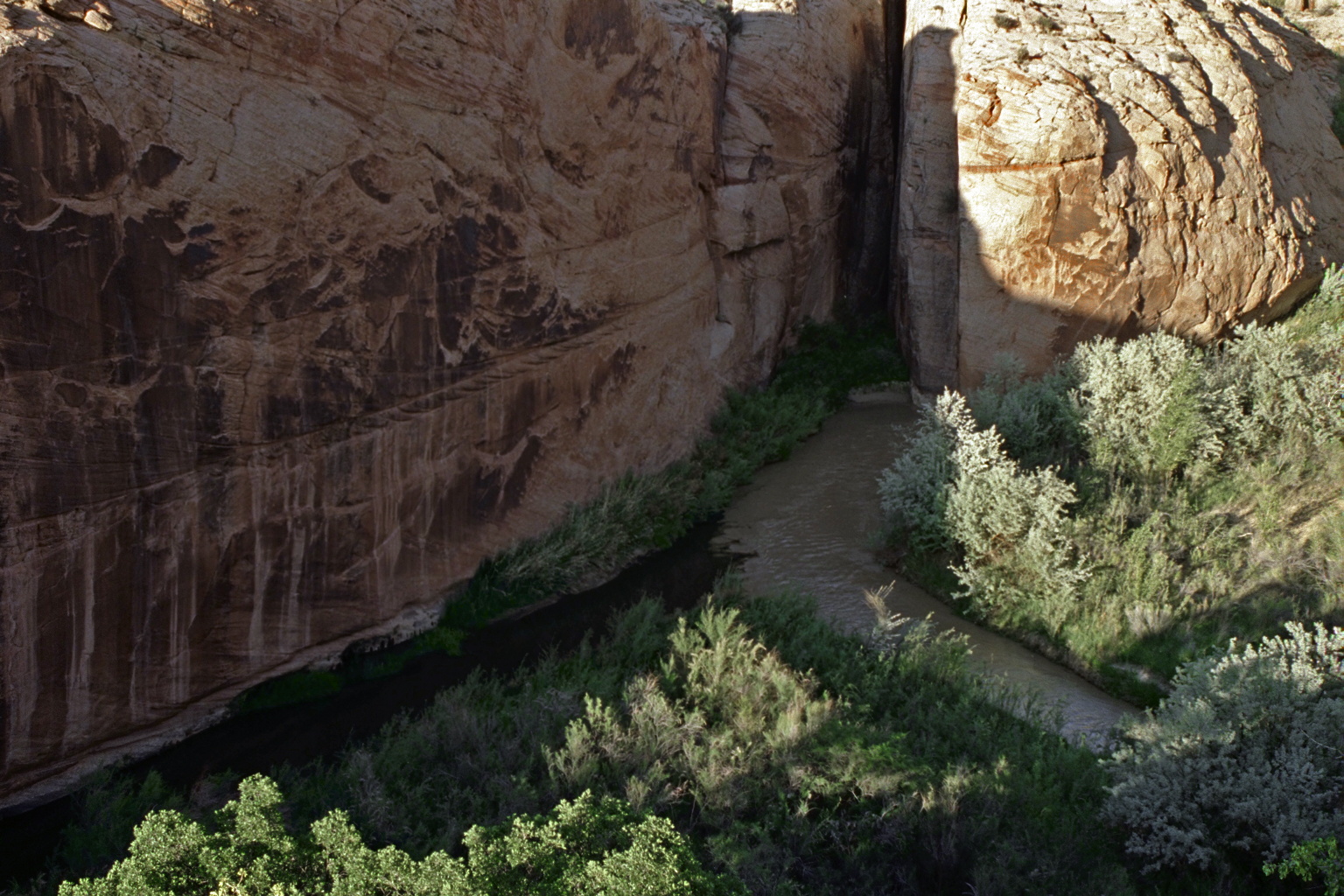
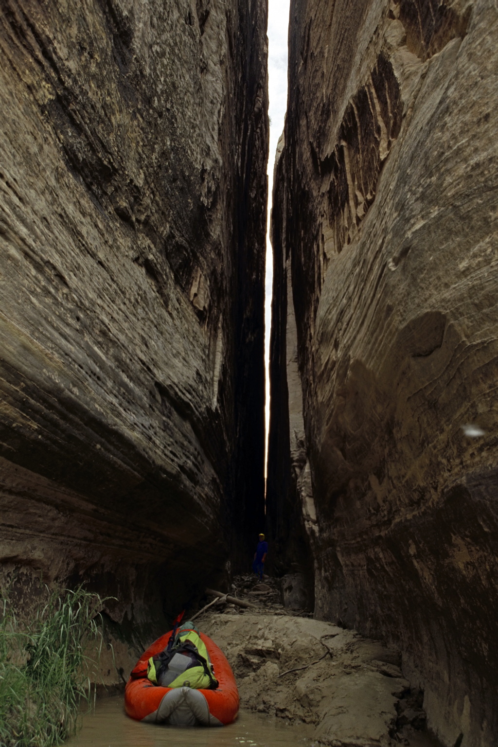
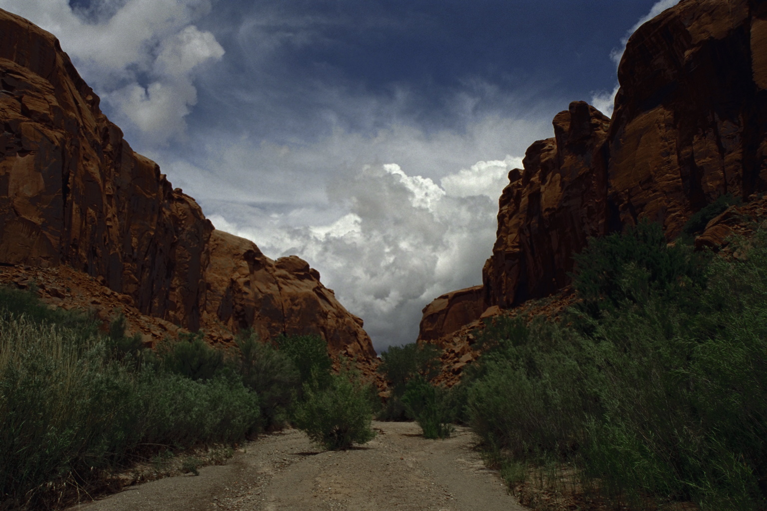
- 72.1
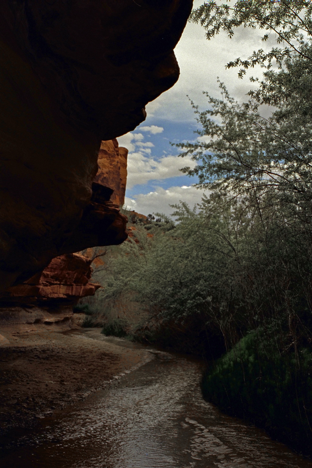
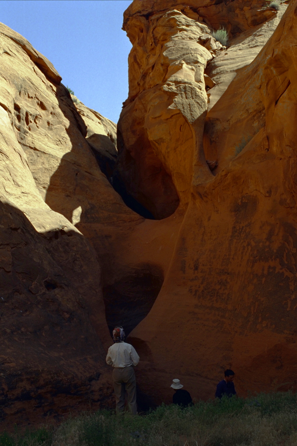
- The river cuts thru the mud of Powell reservoir, cleanly at first,
then though mudflats with unclear channels. You could hike out
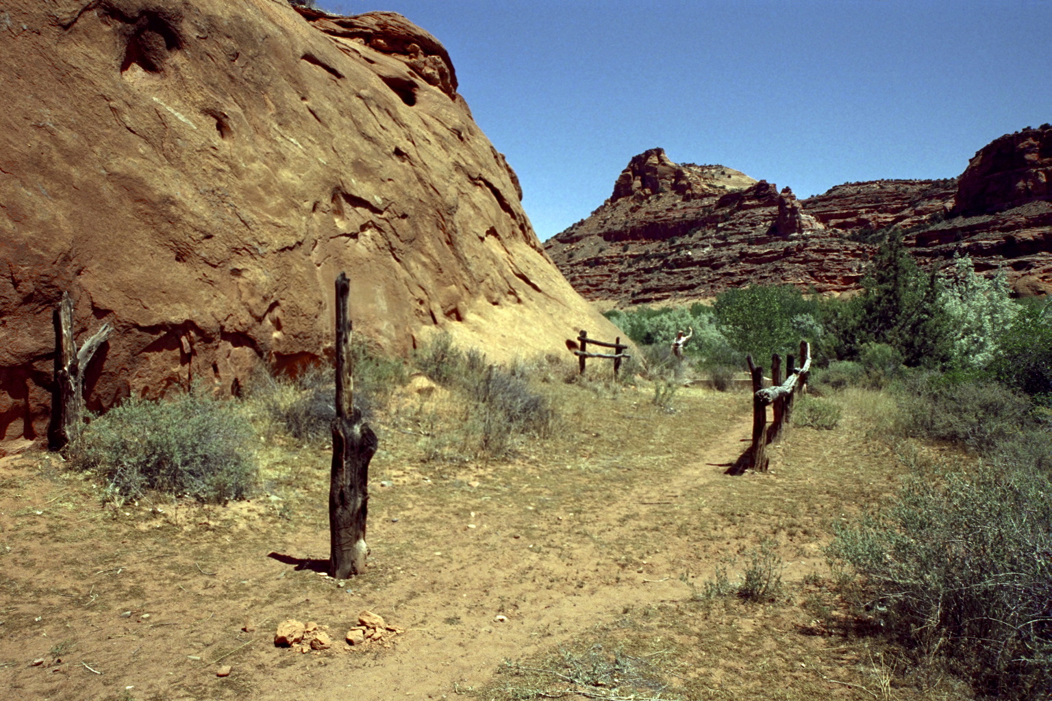
from Coyote Creek, taking the route shown in the picture below,
climbing to reach Forty Mile Ridge after about three tough miles.
The most convenient but expensive option is a motorboat shuttle.
-
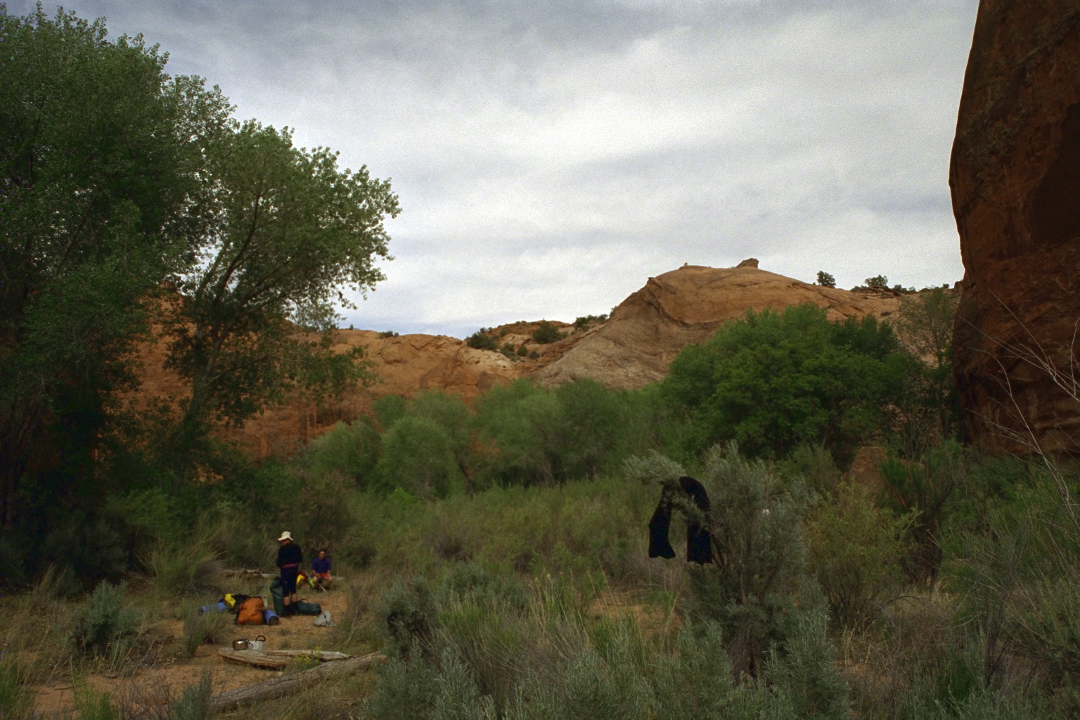
- For carrying out here, The Nichols guidebook says to hike about
.25 mile up Coyote Creek, climb a rock wall, then follow the trail
up to where the sandy slope comes closest to the top of the cliff.
At this spot is a very narrow crack in the wall. After you climb
to the top, the parking lot is another 2 miles uphill over slickrock.
- The point where a motorboat can meet you varies with reservoir level,
of course. Usually it is at some wide spot with deep water. Motorboat
shuttles are privately contracted and somewhat difficult to schedule.
Map software says the drive from Bullfrog Marina to Escalante, all on
paved roads, takes 3.7 hours.
- 93
- When Powell Reservoir is low, it is feasible to paddle all the way
down the Escalante arm to the Colorado, turn right, and in about 2 miles
reach Hole in The Rock. A high-clearance or 4WD road ends on the mesa
about 500-1000' above, depending on reservoir level. This dirt road,
Hole in the Rock road, provides the shortest shuttle, turning south
from highway 12 about four miles east of Escalante. Map software says
the drive from Hole in the Rock to Escalante takes 8.5 hours.
|
|
Creeks Navigation
Home
Recommended Runs
Map of Rivers
Alphabetic Index
Alphabetic Table
Text Search
Sponsored Links
|