|
Gualala South and Wheatfield Forks |
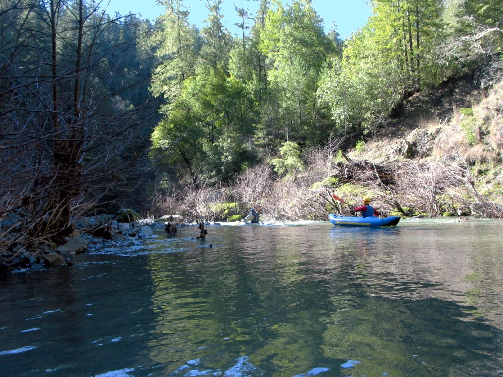
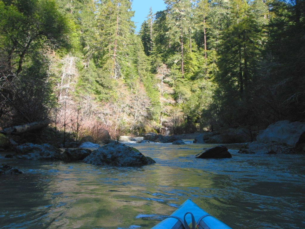
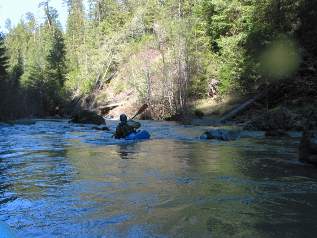
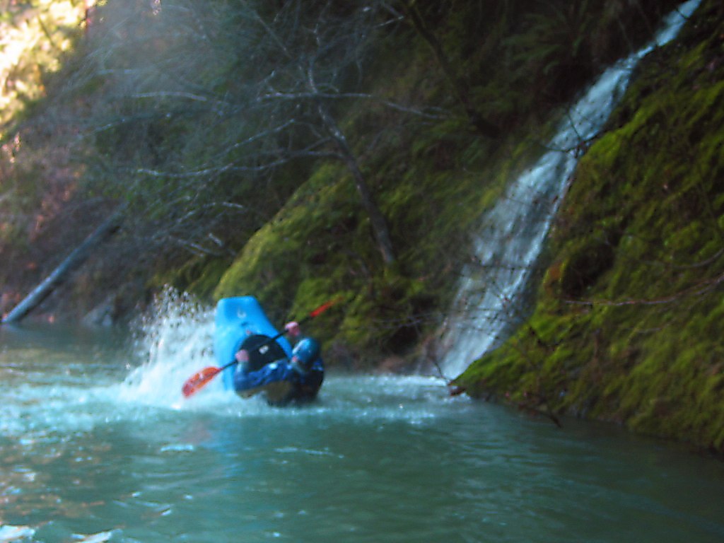
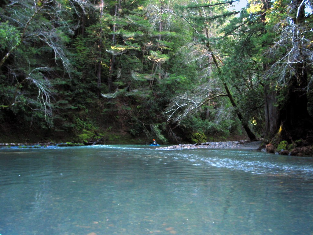
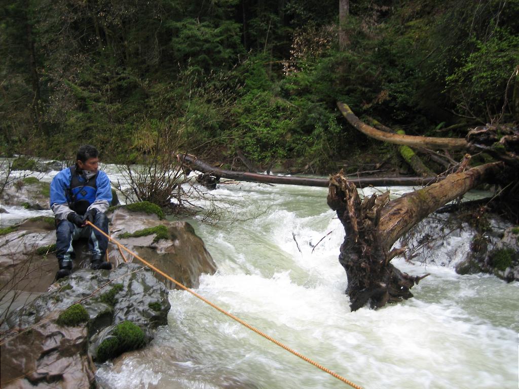
The Gualala river makes a great float if you're sitting around bored at Sea Ranch, or camping among the redwoods near the town of Gualala. Alternatively with two cars or a shuttle driver, you can easily make a one-day tour starting from the bay area. “Running the Gualala is like floating through an ancient primordial forest with thick lush redwoods that block out much of the daylight. Below the tree canopy, most of the light is also absorbed by huge ferns and thick underbrush that makes the scene much like it could have been thousands of years ago before the arrival of man.” So says Martin Wong. There's a good flat stretch starting a short distance east of Sea Ranch on Annapolis Road, going all the way to the ocean near the town of Gualala up north. This 9.3 mile stretch is class I and is the most likely to have water, being below the confluence of South and Wheatfield forks. It's ultra-straight along the San Andreas fault, away from the road. Take out at the highway 1 bridge in Gualala. The Wheatfield Fork is runnable for at least 18 miles above the confluence. A 9.3 mile wilderness run starts at Clark's Crossing, an old bridge where Annapolis Road meets Stewart's Point road. An 8.7 mile run along the road starts at House Creek bridge on Stewart's Point road, and ends at the aforementioned bridge. Flows are similar on the two runs, and both are scenic class I, so it's really your choice of easy exit or wilderness. Upstream of House Creek is a steeper section containing class II+ rapids, starting at the Wolf Creek confluence. It's relatively easy to reach the upper Wheatfield fork from Healdsburg by driving past Sonoma reservoir. The South Fork Gualala contains the most interesting rapids, a class II+ run starting at Houser Bridge. An undocumented run above that bridge seems 18+ miles of 35 fpm gradient with steep sections exceeding 50 fpm. The first known run starts at Houser Bridge. Fun class II rapids taper off after the first few miles, but there is a currently log-jammed class II+ around mile 8 (see picture). At 9 miles comes a difficult take-out at Stewart's Point road. Or preferably, continue another 5 miles to an easier (more secure) take-out on Annapolis Road just east of Sea Ranch, near the Wheatfield Fork confluence. Around mile 13, shortly above the gauge and Annapolis Road bridge, is a log across the channel followed by a log jam and tangled mess of trees (reported 2014 by Boris Trgovcich). The best way of reaching the South Fork from Marin County is to turn off 101 at Petaluma on Bodega Avenue, drive 8 miles to a Y-right onto Petaluma Valley Ford Road, which meets Highway 1 after another 8 miles. Highway 1 is slow, though, for 32 miles. About 9 miles past Fort Ross, just after Salt Point, turn sharp right onto Kruse Ranch Road. After 4 miles on dirt, turn left onto Houser Bridge Road. (On maps it appears that Meyers Grade to Seaview Road would be faster.) The shuttle is easier on the east side, river right, on Tin Barn Road past a Buddhist temple, then left on Stewart's Point Road. To reach Annapolis Road, continue on Stewart's Point Road to highway 1, then drive north to Sea Ranch. Warning: If you do the run pictured below, I strongly recommend having a dedicated shuttle driver. Vandalism and law-enforcement hassles have been reported at the Stewart's Point Bridge, and to a lesser extent at Houser Bridge. Photos © 2005 Martin Wong.
|
Creeks NavigationHomeRecommended Runs Map of Rivers Alphabetic Index Alphabetic Table Text Search
Sponsored Links
|