|
Hayfork Creek Upper Run |
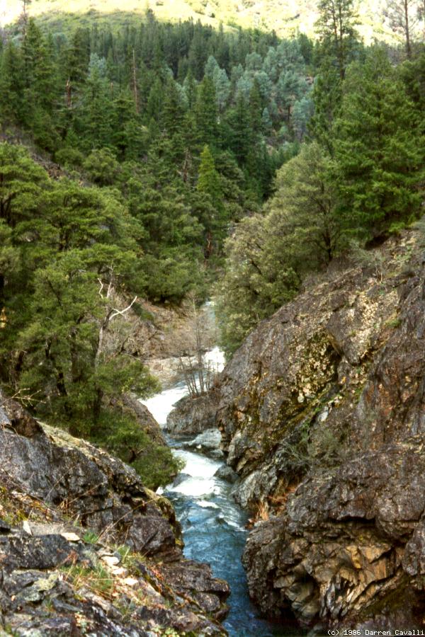
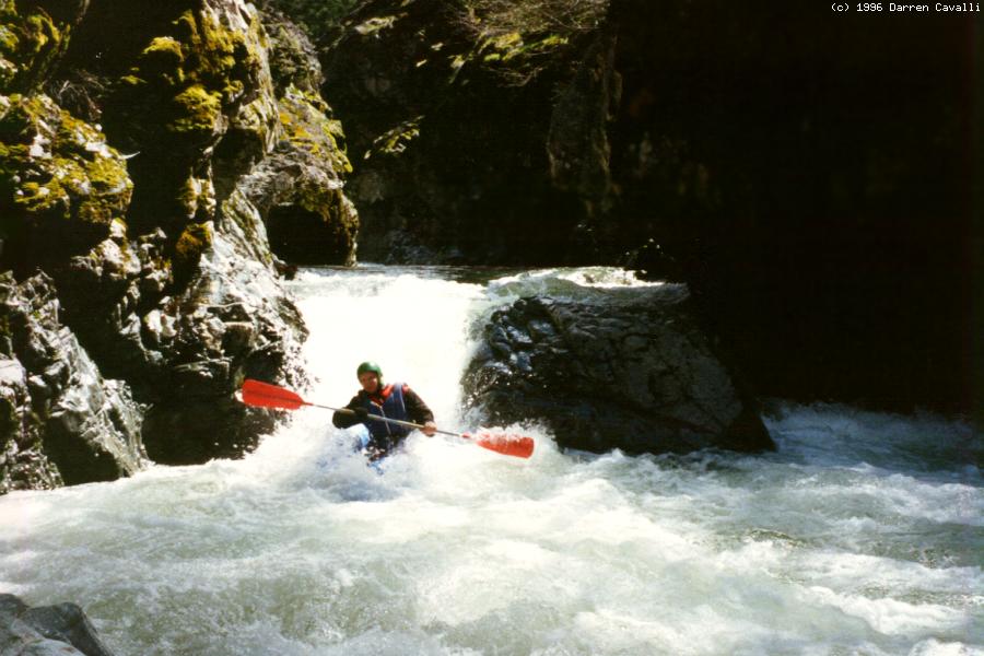
This is a good run with fine whitewater, although my friends who ran it in inflatable kayaks are reluctant to do so again because of a death-defying small eddy and 80' portage climb around the first unrunnable rapid. Parties should break into groups of 2 or 3 boats when approaching this eddy'n'portage. Holbek describes the run well, but the optimum level for inflatables would be under 500 cfs. Boaters encounter a log bridge, overhanging Roxy's Rock, Ed's Eddy, then a class III-IV section. Where Hayfork Creek enters a small gorge, get into that death-defying eddy (river left) to begin your 80' portage climb and 100' descent. After a major rapid and many class III-IV rapids comes a second portage, much easier, and a third portage around a gorge with fishladder. Just before the East Fork confluence on river right, take out on the left where a dirt road descends to the creek from Wildwood Road.
|
Creeks NavigationHomeRecommended Runs Map of Rivers Alphabetic Index Alphabetic Table Text Search
Sponsored Links
|