For logistics and river statistics, see the writeup on Pauley and Lavezzola Creeks. This is a description of Lavezzola Creek only.
- mile 0
- Put in on the right just past the first bridge, where a dirt road descends to shady spot near the river. It is possible to put in further upstream. The river is class IV from Third Divide, although there could be strainer hazards.
- 1
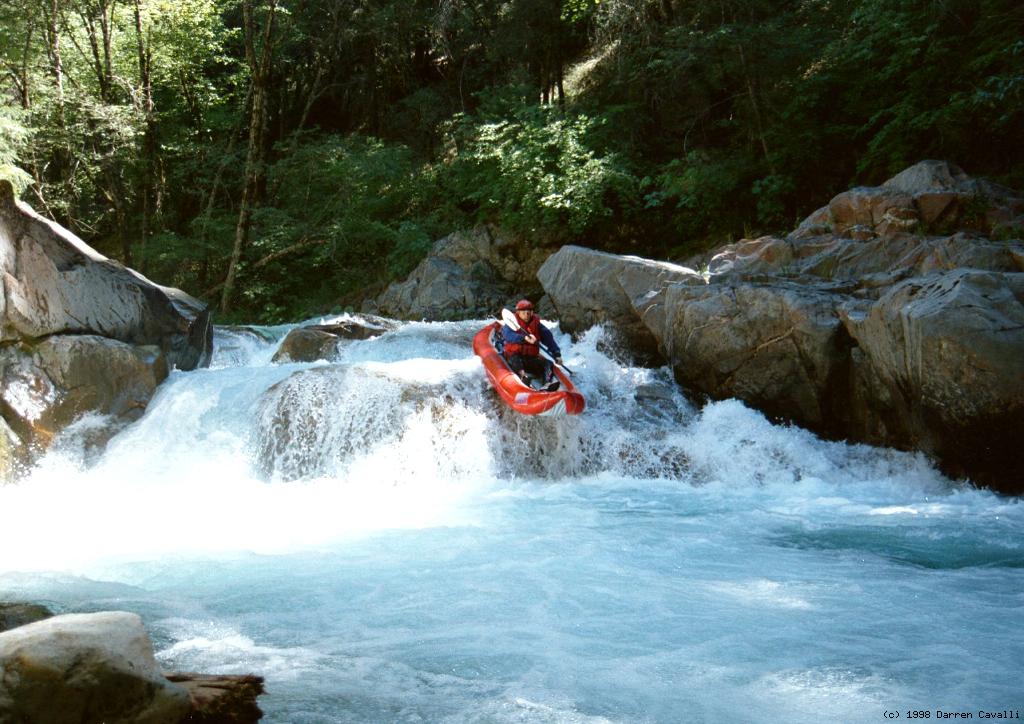
- Granite Gorge, class IV
A succession of 3 to 6 foot drops for almost half a mile, all normally runnable unless blocked by logs. Boat or bank scout to be sure.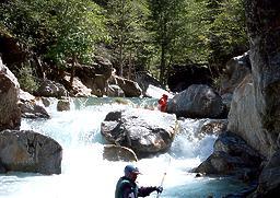
Picking our way down the gorge Several steep drops in a row - 1.5
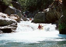
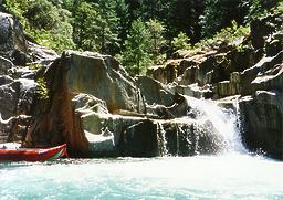
- Boulder Bar Boof, class IV
The river bends right and drops thru a boulder bar, with a large rock and hole at the bottom that should be boofed or ski jumped. - Hazard! Old steel bridge in the river could entrap swimmers or rip boats, and it closely follows Boulder Bar Boof.
- 2
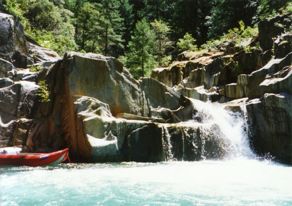
- Double Drop, class IV+
- A two foot drop followed by a five foot drop. There is a swirling hydraulic with an undercut wall on the far right side. A swim from the first drop could be bad news.
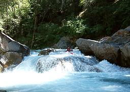

Buried at the bottom of the first drop Sliding over the edge of the second drop - A two foot drop followed by a five foot drop. There is a swirling hydraulic with an undercut wall on the far right side. A swim from the first drop could be bad news.
- 2.1
- Deep Crack, class V(?), Line and Portage Right!
As you can see in the second picture, most of the flow disappears into a crack and emerges below against the left wall, which is severely undercut. A swimmer could be trapped underwater in the crack. Running this drop is possible at higher flows, but then the undercut looks worse. It's not worth the risk, especially since the line and portage are very easy. Years ago the crack was blocked by rocks and this rapid was commonly run.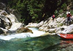
Preparing to line the first drop Below the portage of the crack itself - 3
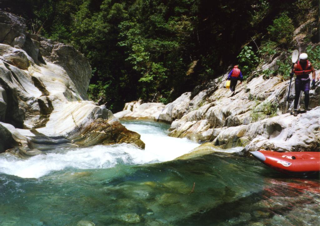
- Confluence with Downieville Creek, which late in the season carries less water than Lavezzola because of a lower drainage. Continue downstream to the Pauley Creek confluence and carry your boats up a steep embankment to a parking area near the municipal waterworks.


Creeks Navigation
HomeRecommended Runs
Map of Rivers
Alphabetic Index
Alphabetic Table
Text Search
Sponsored Links