| |
| Stretch: |
Thorn Junction to Ettersburg to Honeydew |
| Difficulty: |
Class II-III (two class IV rapids), class I-II (one class III) |
| Distance: |
10.7 miles (1 day), 18.3 miles (1 or 2 days) |
| Flows: |
kayaks 300 - 900 cfs, lower to 1800 cfs, IK minimum 200
|
| Gauge: |
gauge at Ettersburg is between upper and lower runs
(USGS).
|
| Gradient: |
31 fpm upper, 15 fpm lower |
| Put-in: |
bridge near Thorn Junction on Shelter Cover Road, 900' |
| Take-out: |
bridge below Ettersburg (590'), or bridge in Honeydew (320') |
| Shuttle: |
8 or 24 miles (15 minutes or 1 hour) one-way |
| Maps: |
Kings Range Conservation Area, AAA Northern California
(Topo)
|
| Season: |
winter, from recent rain |
| Agency: |
private, BLM |
| Notes: |
© 1998, 2010 Bill Tuthill,
CreeksYahoo,
thanks to Paul Futscher |
The upper Mattole was a run brought to our attention by beer-inspired
rereadings of Dick Schwind's classic 1974 guidebook, West Coast River Touring.
Schwind rated the upper Mattole class III (2 portages) with clear water.
In an El Niño year we were getting tired of muddy brown runoff
(called “golden” by the Chamber of Commerce), so this seemed
like a good run to try. Put-in is only 20 minutes from Garberville.
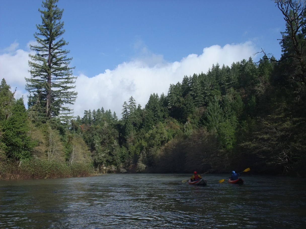
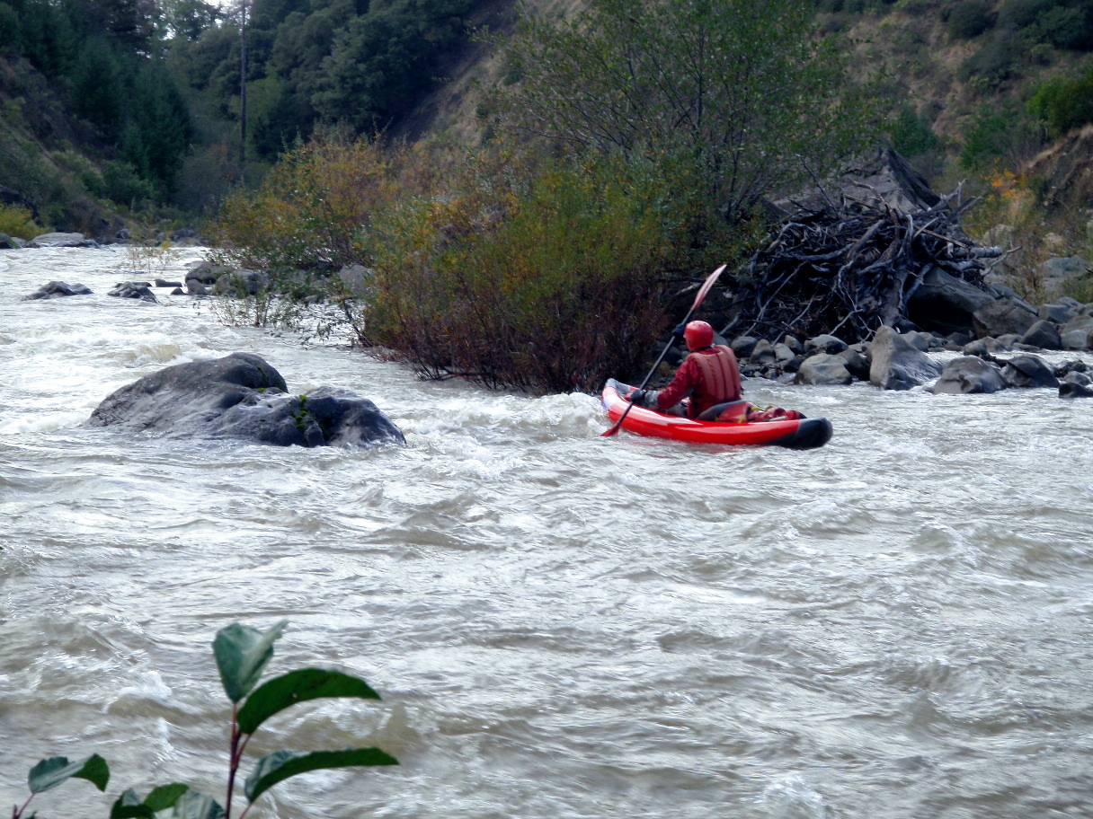
The run from Thorn Junction to Ettersburg is indeed class III sub IV
for 10.7 miles with relatively clear water and A- rated scenery:
somewhat like upper Redwood Creek, but with more houses.
Low gradient creates some class I-II, although there is much class III
including a steep ledge drop near the beginning.
The two portages Schwind mentioned maybe changed; they seem class IV now.
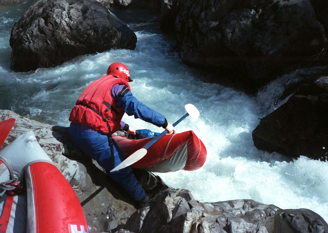
The first is a class IV- falls with undercut (called The Crack) near mile 2.
At higher flows you can avoid the undercut by taking a route further right.
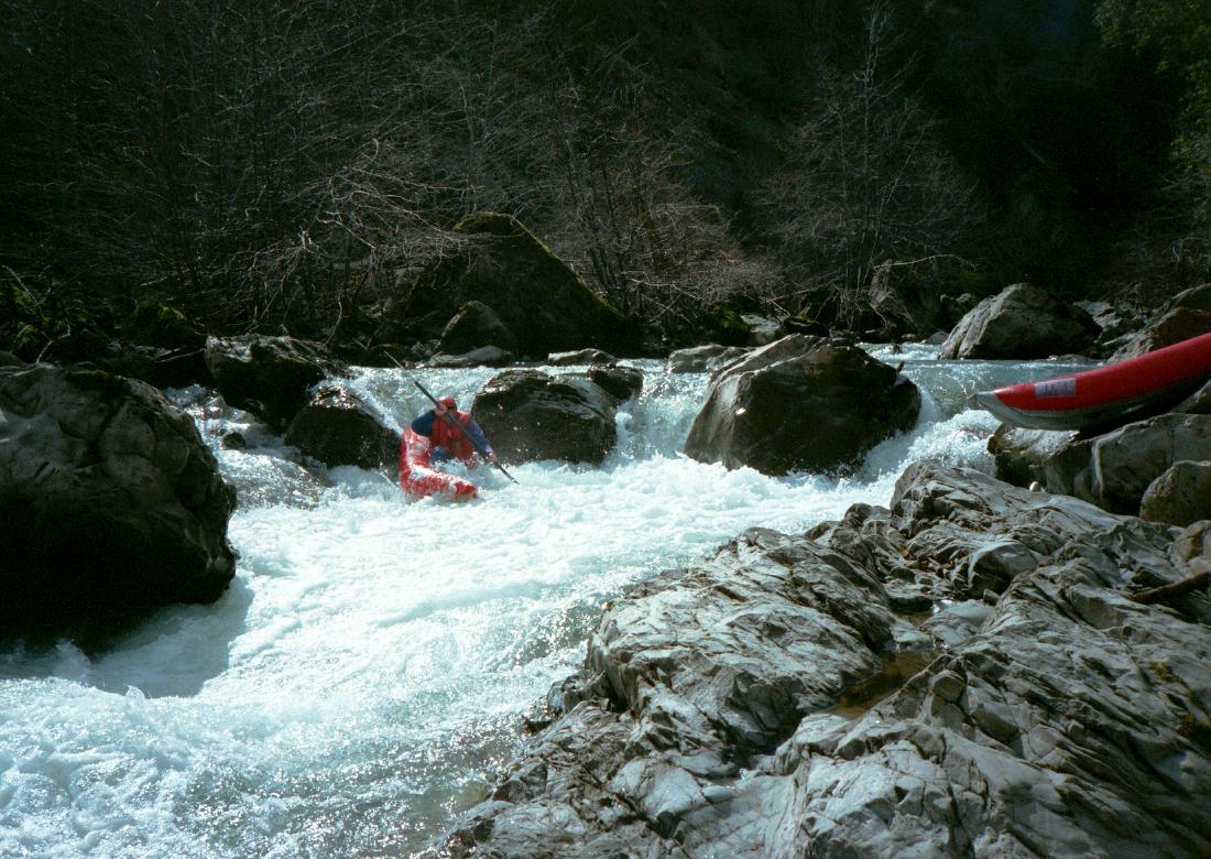
The second is a fun class IV series of boulder drops near mile 4,
unfortunately with a strainer below the final drop (1999).
Brush hazards are not bad, but downed trees might cause problems.
Andy and I rated this run 06 on a scale of 10, where 00 would be Cache Creek
after a fish die-off and 10 would be combined upper and lower Deer Creek.
The upper Mattole is definitely worth trying if you are in the area.
Potential portages are not difficult and brave folks might not mind
running the class IV drops.
- upper run
-
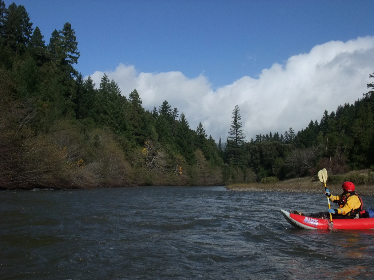
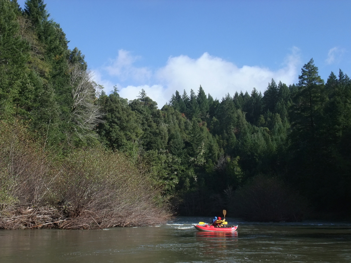
After the upper, I had long wanted to run the lower and finally did.
Although distance is long, the 18.3 mile run from Ettersburg to Honeydew
is quite nice if you enjoy touring as much as whitewater.
Scenery is good, the water is clear, and the one class III rapid is fun.
(According to Schwind, there was a class II+ or III rapid around mile 14,
but we did not notice it. The long rock-dodging class II+ he mentions
shortly above Honeydew is now class III or III+ due to a landslide.)
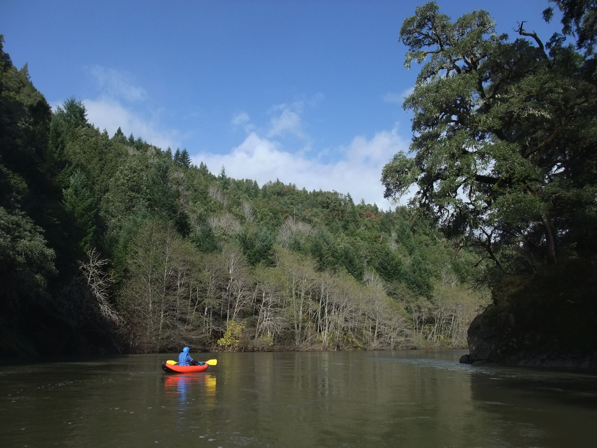
Like the upper run, the lower run is semi-wilderness with occasional houses,
though fewer. Combined, the two runs would make a nice 2-3 day camping trip
with relatively easy shuttle along the Ettersburg to Honeydew road.
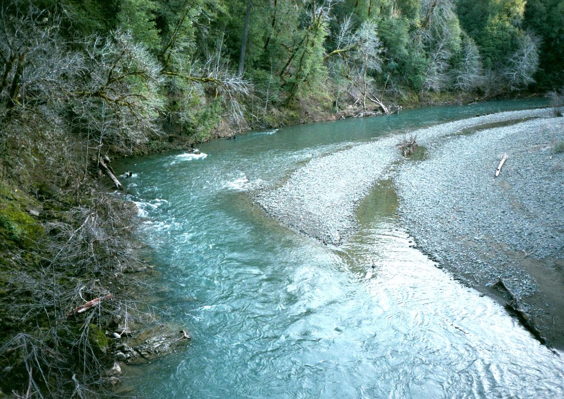
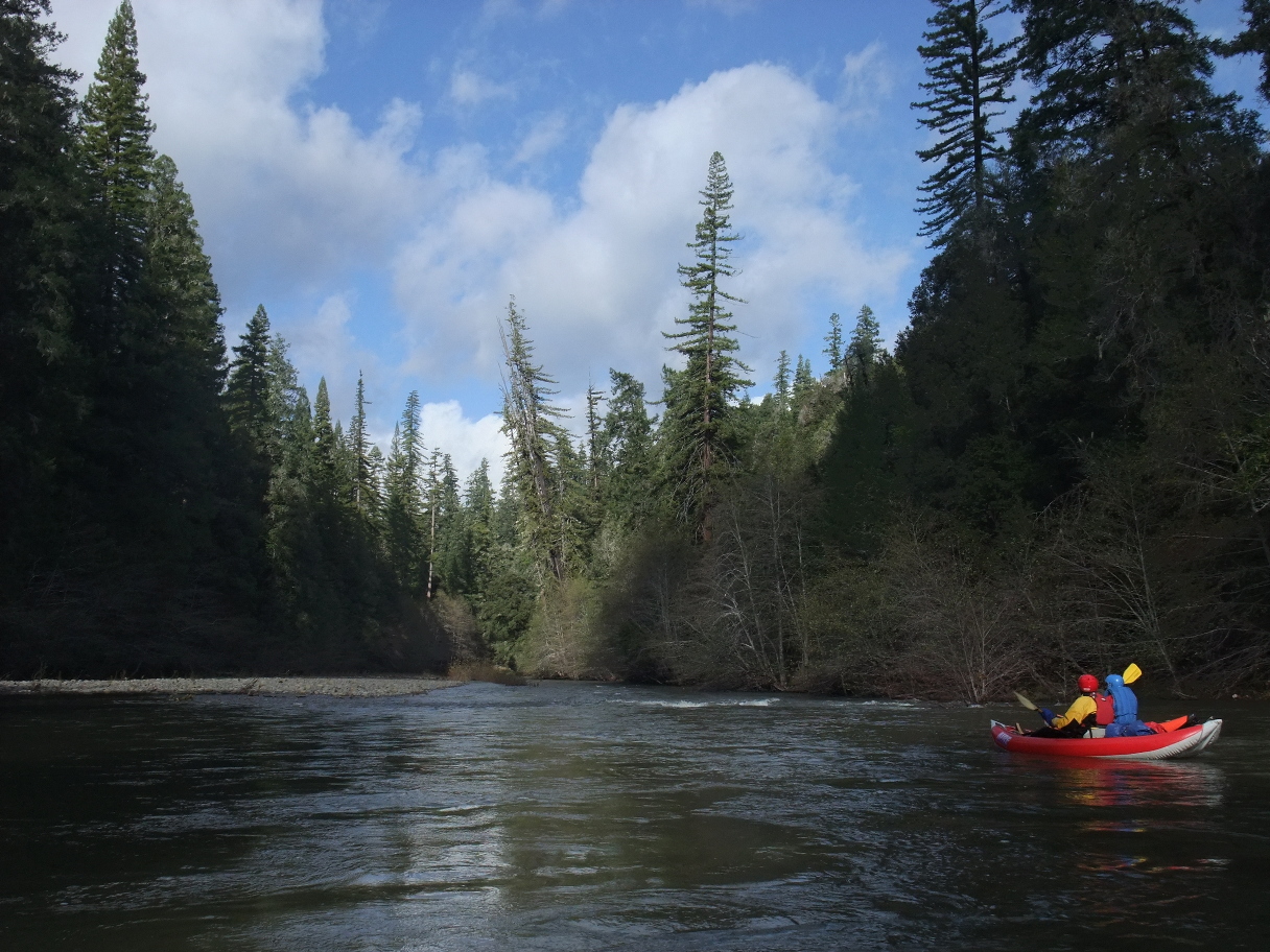
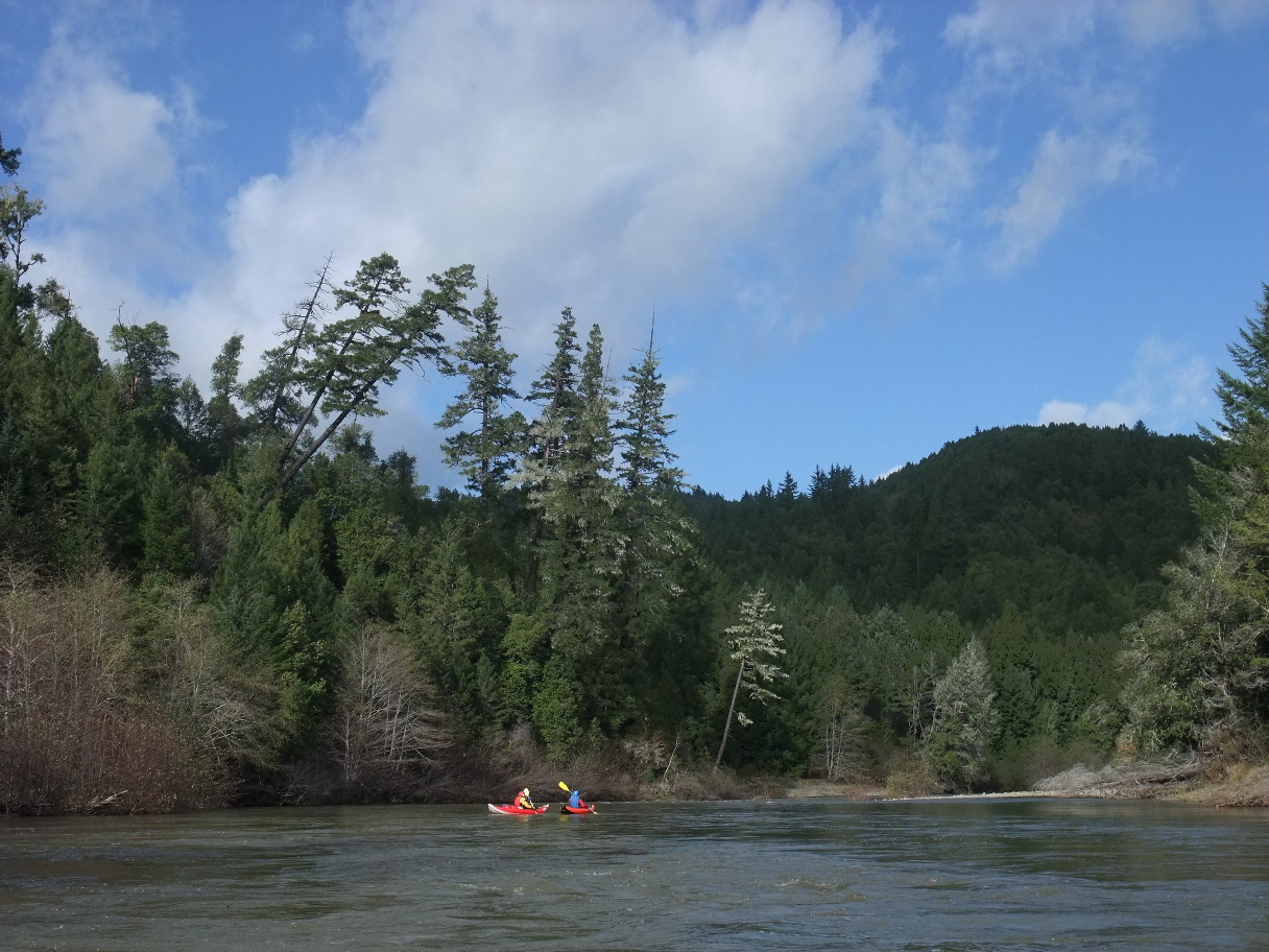
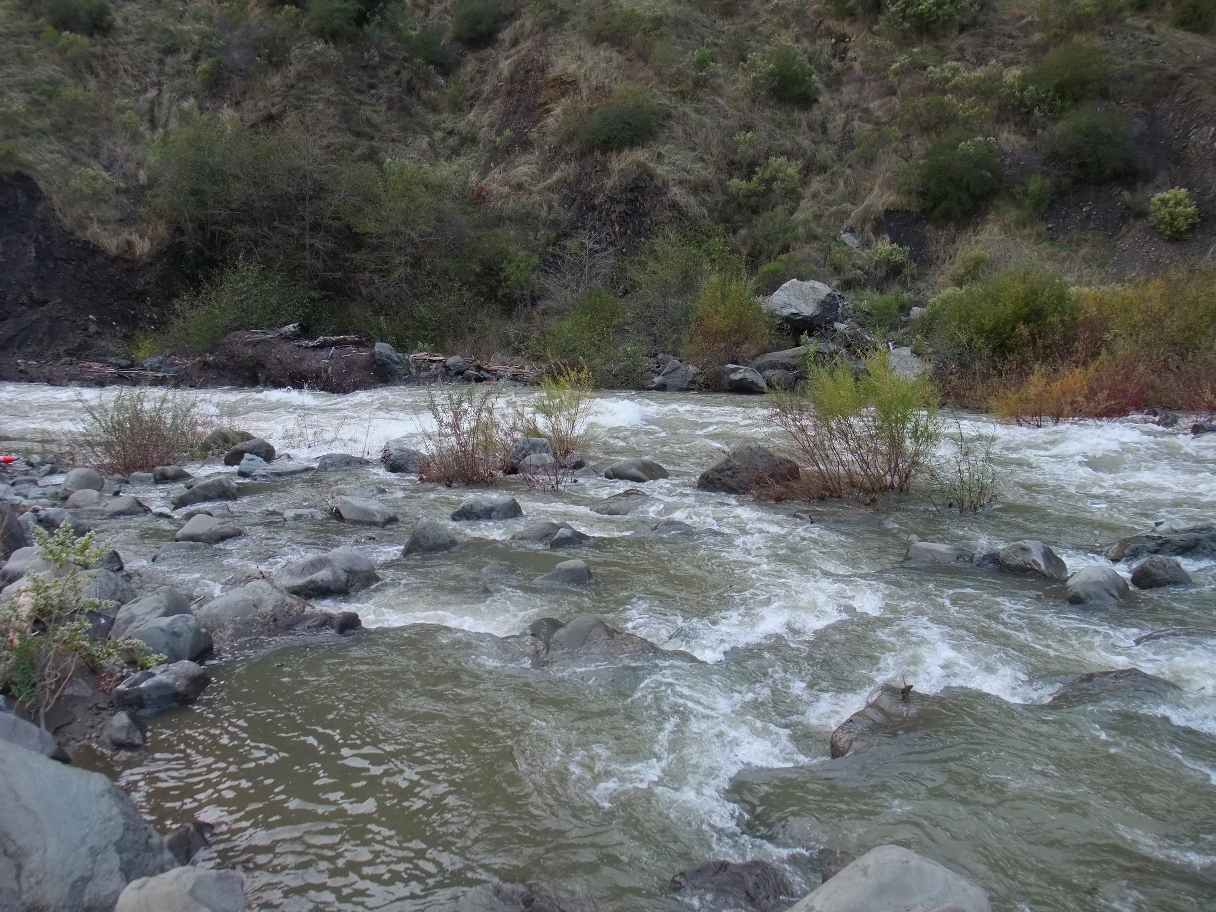
- mile 0
- Put in upstream of the bridge on the gravel bar pictured above.
-
- 3.2
- Approximate end of ranches accessible from the paved road to Ettersburg.
Signs of habitation appear again around mile 5.
-
- 6.7
- Sholes Creek enters on the left at a right bend, and after a left bend,
Duncan Flat appears up on the right. Being away from roads and houses,
this might be the best place to camp along this run.
- 8.8
- A ridge with bare spots appears. Fourmile Creek enters on the left.
This might also be a good place to camp.
- 9.8
- After a gigantic bare ridge has appeared dead ahead,
the river curves right then left. Footbridge, perhaps seasonal,
is marked on the topo map. A Jeep trail descends the ridge,
crosses the river, and climbs to Scott Place.
- 11.4
- Westlund Creek enters on the right.
Large ranch on the left bank with many structures and barking dogs.
In another .3 mile, Middle Creek enters on the right.
-
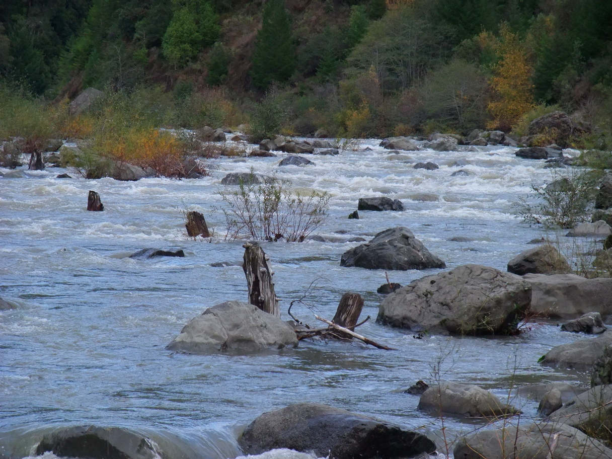
- 13.7
- Big Gulch enters on the left, in a large horseshoe bend.
Jeep trails reach the river above and below the bend.
The river is in a deep canyon, and several more horseshoe bends
lengthen the river distance.
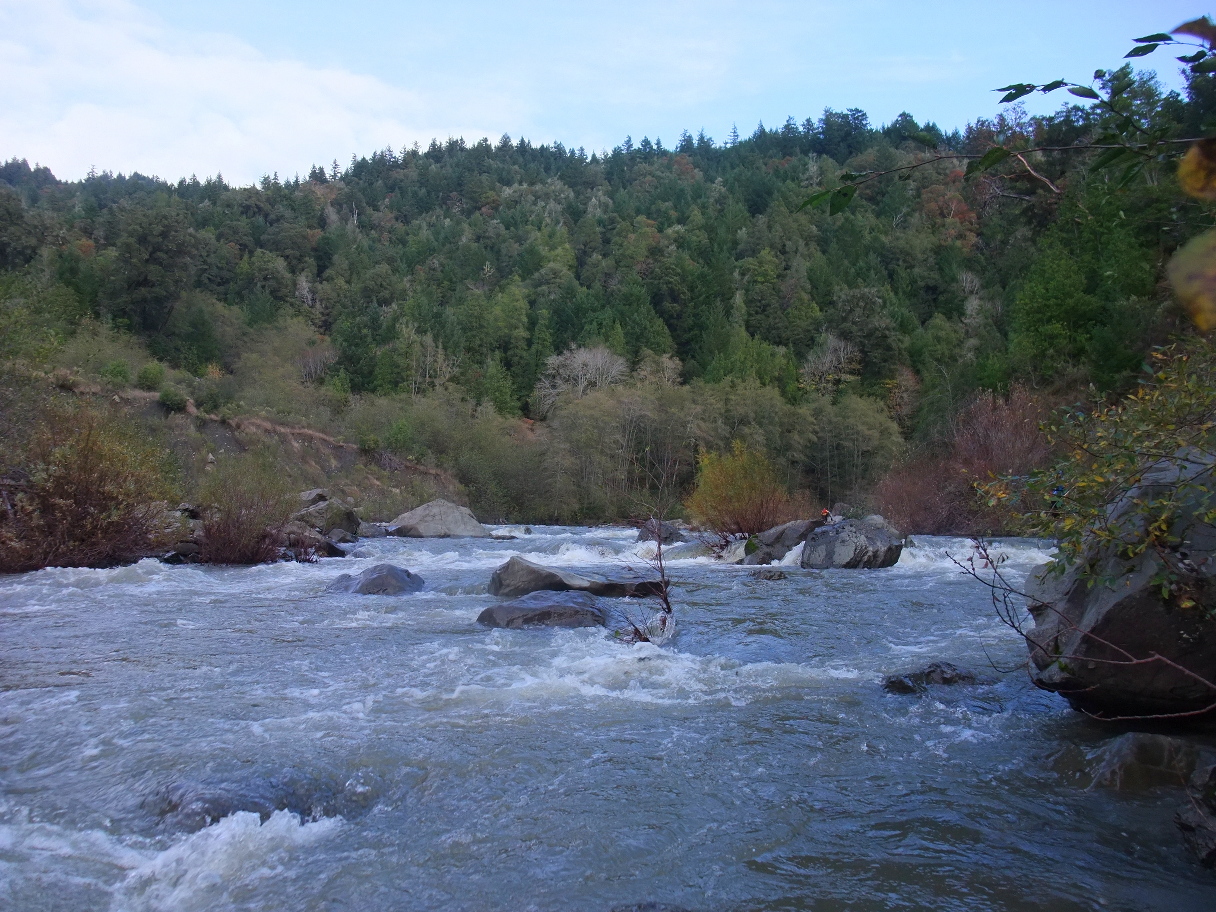
- 16.6
- Landslide Rapid, class III, harder at high flows.
As the river curves left, a small gray landslide appears on the right.
The large landslide that caused this rapid is hidden inside the curve.
Except at high flows when the drops merge, the rapid comprises four drops.
The first can be run to the left of an island. The second follows closely
and can be very rocky. After a section of reduced gradient, the third drop
comes at a sharp left turn against bedrock. After a pool the fourth drop
seems relatively minor in comparison. Habitation below on the left bank.
-
-
-
- 18.3
- Take out below the bridge on the left bank near the Honeydew general store.
An old road of uncertain legal status leads upstream under the bridge.
Below Honeydew the Mattole is class I for 22.1 miles to Petrolia. This section
is popular in the winter among steelhead fishermen, but the riverside scenery
is less appealing than in these upper stretches. As the river moves downstream
it collects sediment and eventually becomes rather silty. Schwind remarked that
the silt got bad just above Ettersburg, but as clearcuts have grown back, that
no longer seems true, and the river remains relatively clear until Honeydew.
Unfortunately logging-induced siltation had covered over steelhead spawning
grounds, so the fishery has declined since the 1950s.
Shuttle Directions
To reach take-out, turn west off highway 101 north of Garberville toward Redway.
Turn west on the Briceland-Thorn Road and cross the South Fork Eel.
Climb to the town of Briceland, where the main road bears right.
About 5 miles later, turn right (steeply uphill) onto Ettersburg Honeydew Road.
Continue uphill and down again for about 6 miles to the river bridge.
For the lower run, continue another 13.6 miles to the Honeydew bridge.
Do not confuse this with the bridge across smaller Honeydew Creek.
If you are coming from the north, is is faster to reach Honeydew
by taking highway 254 and Bull Creek Flats Road.
To reach put-in, return south on the Ettersburg-Honeydew Road.
For the lower run, park one of the small spots near the Ettersburg bridge.
For the upper run, continue to the junction where you turned steeply uphill.
There, turn right and proceed downhill and west to Thorn Junction.
Continue onto Shelter Cove road, which soon crosses the river.
|
|
Creeks Navigation
Home
Recommended Runs
Map of Rivers
Alphabetic Index
Alphabetic Table
Text Search
Sponsored Links
|