| |
| Stretch: |
Little Walker confluence to town of Walker |
| Difficulty: |
Class III with several class IV or IV+ sections |
| Distance: |
11.5 or 14 miles, one full day |
| Flows: |
rafts and kayaks 500 - 1000 cfs, IK minimum 300 cfs
|
| Gauge: |
at put-in below Little Walker confluence
(USGS)
(forecast) |
| Gradient: |
104 fpm average, 200 fpm for 1.8 mile below Chris Flat |
| Put-in: |
highway 108 picnic area, or highway 395 bridge, 6600' |
| Take-out: |
at or upstream of Eastside Lane bridge, 5400' |
| Shuttle: |
10 miles (15 minutes) one way |
| Maps: |
AAA Eastern Sierra
(Topo)
|
| Season: |
late spring or early summer, snowmelt from Leavitt Lake meadows |
| Agency: |
USFS, private |
| Notes: |
© 2012 Bill Tuthill, photos © 2012 Jim Gribble
|
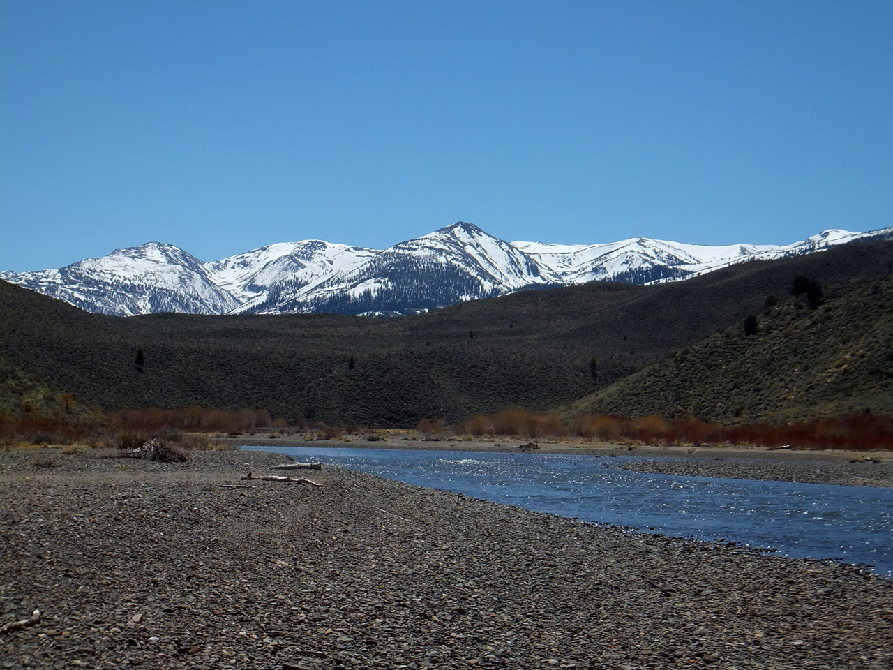
This is one of my favorite California runs because of Idaho-like continuous whitewater,
beautiful east-side mountain scenery, and user-friendly lodging and dining nearby.
The Walker is a scenic class III-IV version of the North Fork Payette,
except it flows generally northward so the sun is seldom in your eyes.
Maybe it is more fun with inflatables than hardshell kayaks,
judging by Daniel Brasuell's
somewhat negative writeup.
An eskimo roll is not feasible in most rapids; bracing skills are paramount.
The run is not really an 11 mile long rapid as the old Charles Martin guidebook said.
If you start at the highway 108 picnic area, there is a short flatwater stretch,
followed by an excellent class III gorge, then over a mile of flatwater.
If you start at the highway 395 bridge, you get a bit of class II warm-up,
then a significant rapid followed by mile of flatwater along Chris Flat Campground.
After that point, it is accurate to describe the remainder as a 9.5 mile long rapid
to the town of Walker.
- -2.5
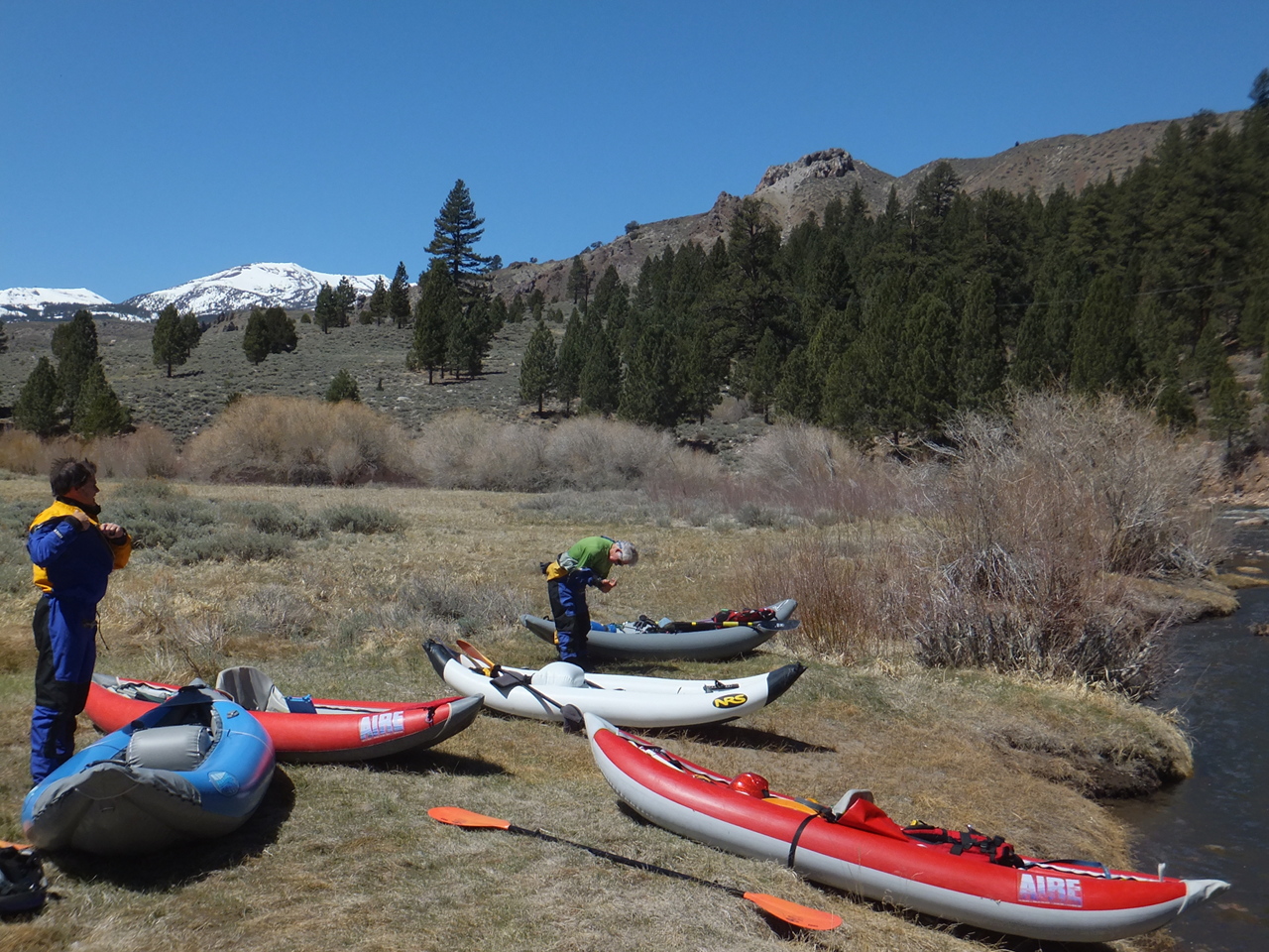
- A peaceful picnic area along the river across from Sonora Bridge Campground
makes a comfortable put-in compared to the highway 395 bridge.
-
- -2.0
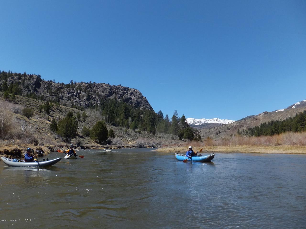
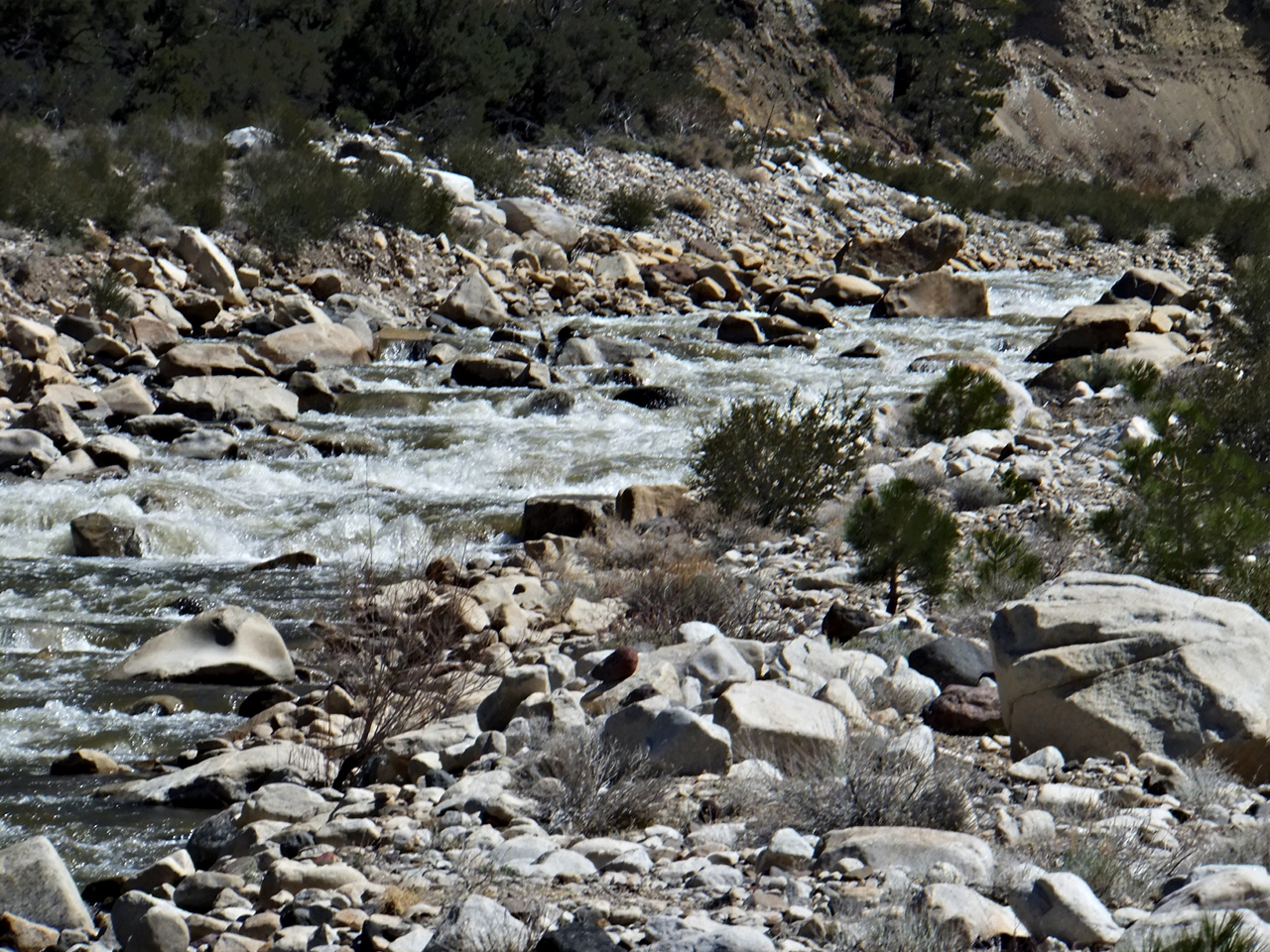
- The river enters a gorge near a mountain marked Peak 7240 on the topo map.
Continuous class III rapids for almost half a mile. Steepness seems surprising.
- -1.6
- Trees disappear after the class III gorge ends and flatwater begins.
-
- 0
- Traditional put-in is near the gauge on river left under the highway 395 bridge.
Watch out for a sharp metal stake in the river holding up the gauge;
the stake can destroy inflatables.
- .7
- After some easy warm-up rapids, you encounter a solid class III at a right bend.
-
- .9
- Chris Flat Campground on the left, significantly diminished by the 1997 flood.
Poor river access because of gravel banks still steep from flood erosion.
Rooted trunks of many large broken-off trees remain in the channel.
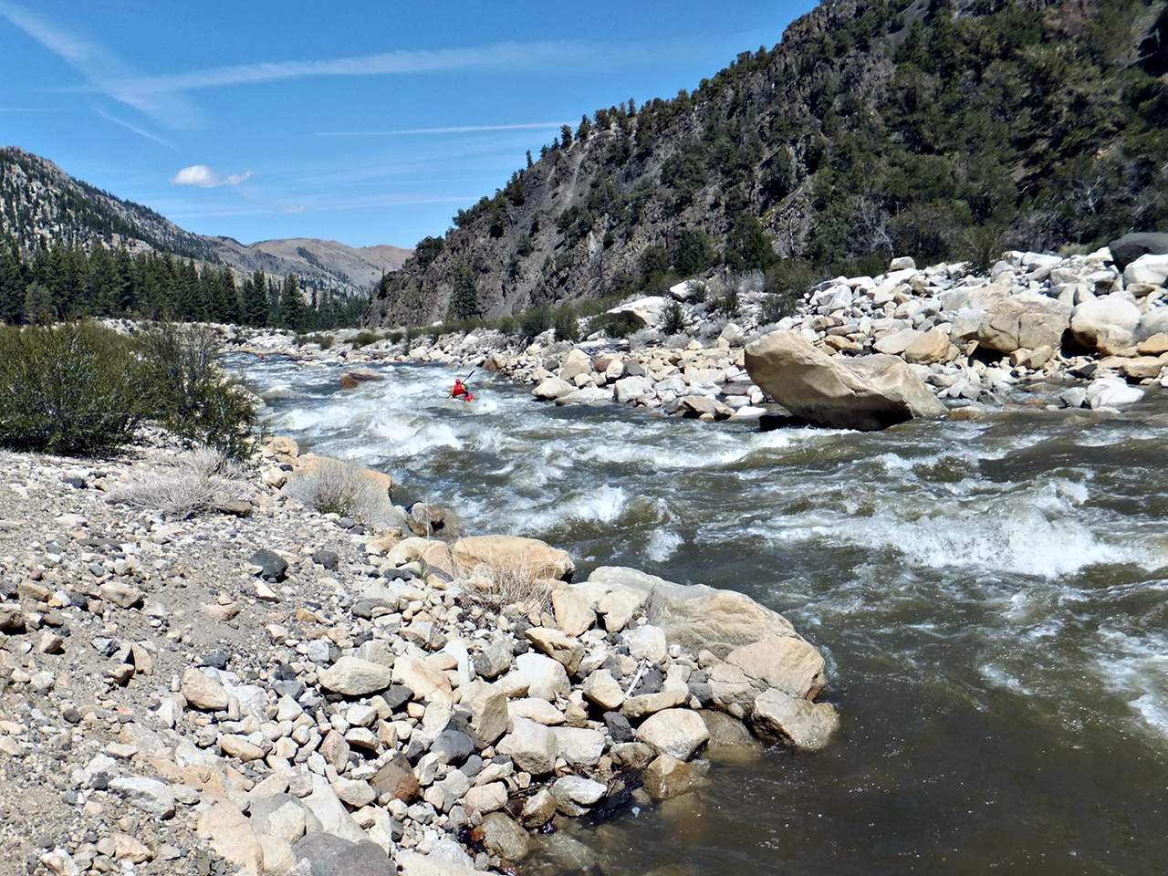
- 1.9
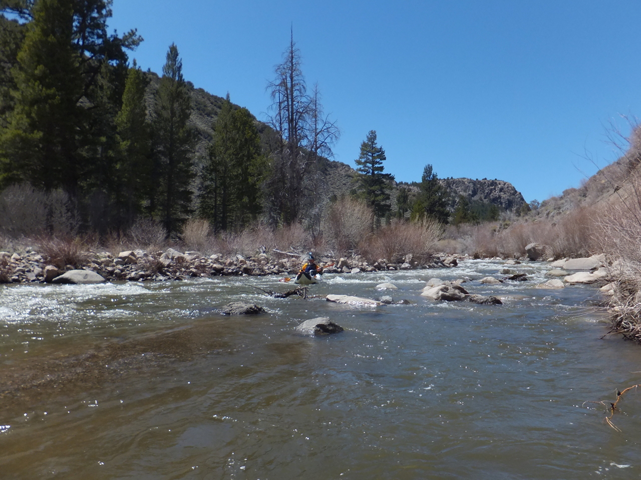
- Start Big, class IV, possibly scout during the shuttle.
In the midst of a right bend, the flow accelerates as the gradient steepens.
Big holes on the left, rocks on the right, and no recovery pools in sight.
Significant rapids continue unabated.
-
- 3.2
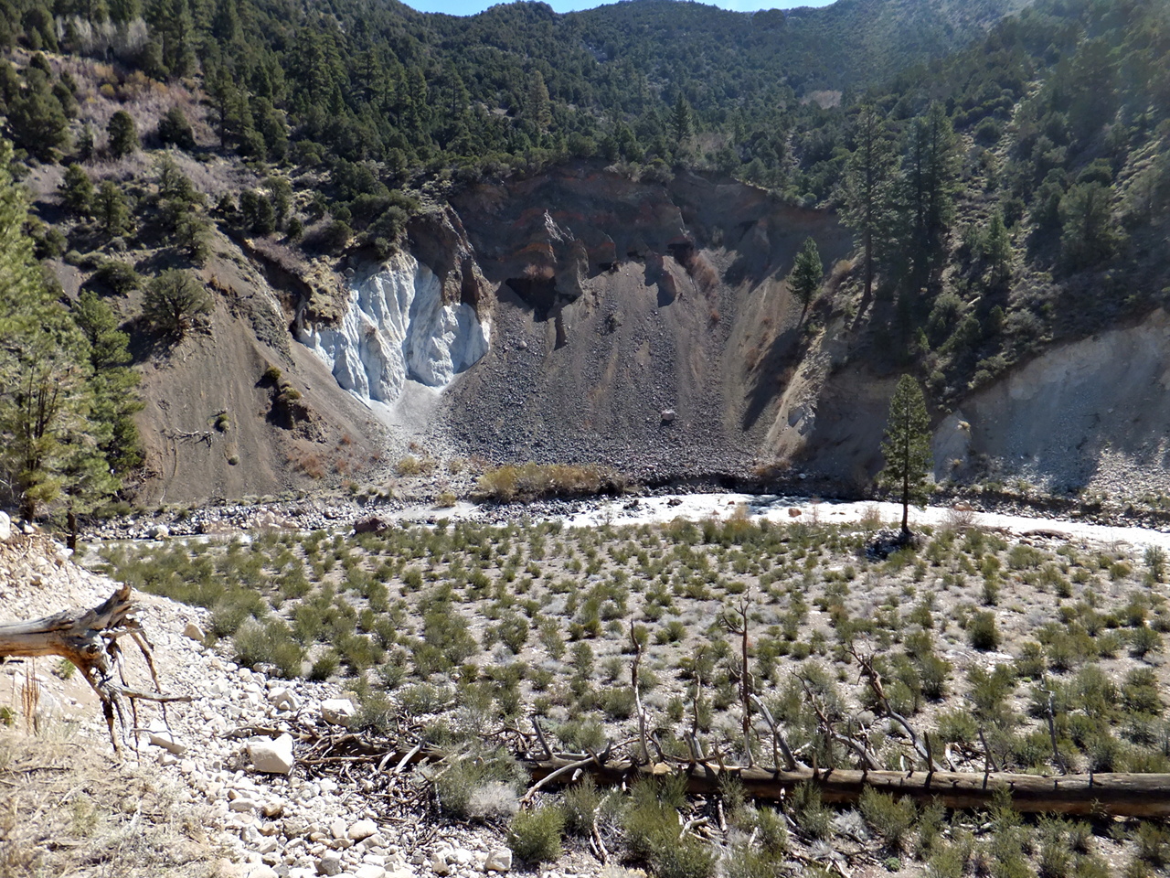
- Landslide, class IV, possibly scout from the left bank.
The river bends sharp left over a rock pile caused by a landslide.
At higher flows several routes become available on the right side.
At very low flows the only feasible channel is on far left (2012).
You might want to set safety because Straight-Away is just below.
-
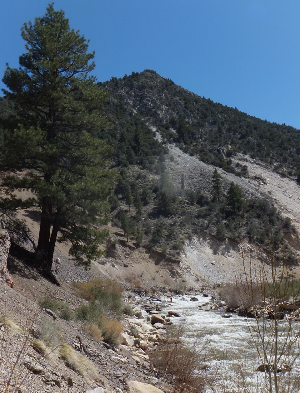
- 3.5
- Straight-Away, class IV+, definitely scout during the shuttle.
Some stretches of the West Walker were graded by heavy equipment,
reducing the number of large boulders, but this section is away from the road,
and seems affected only by the actual 1997 flood.
Watch out for undercut rocks especially on the right.
-
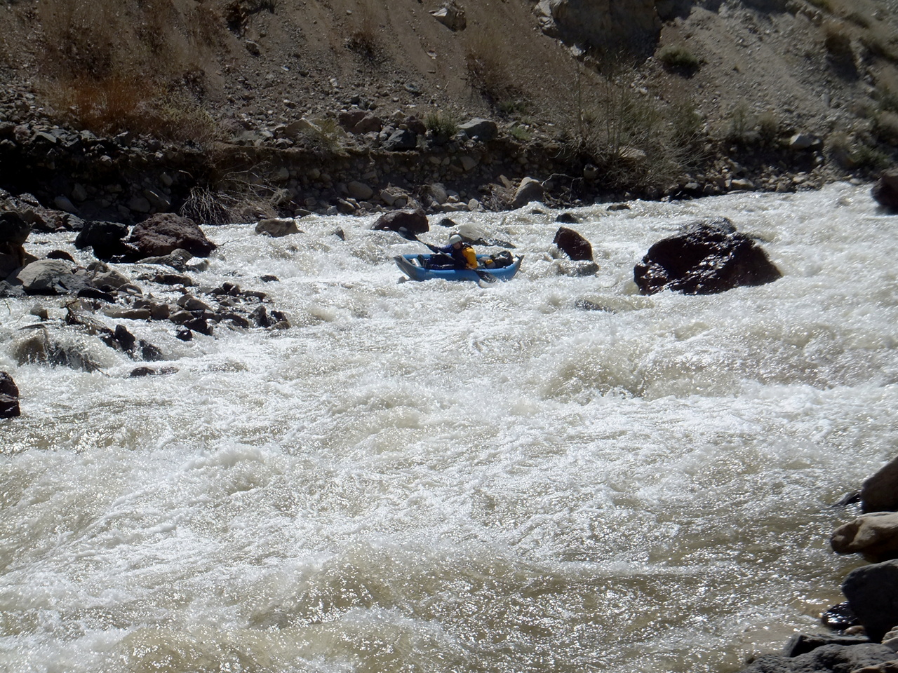
- At low flows (above) passages between boulders are inconveniently located.
At higher flows (below) the hydraulics get menacing.
-
- 3.7
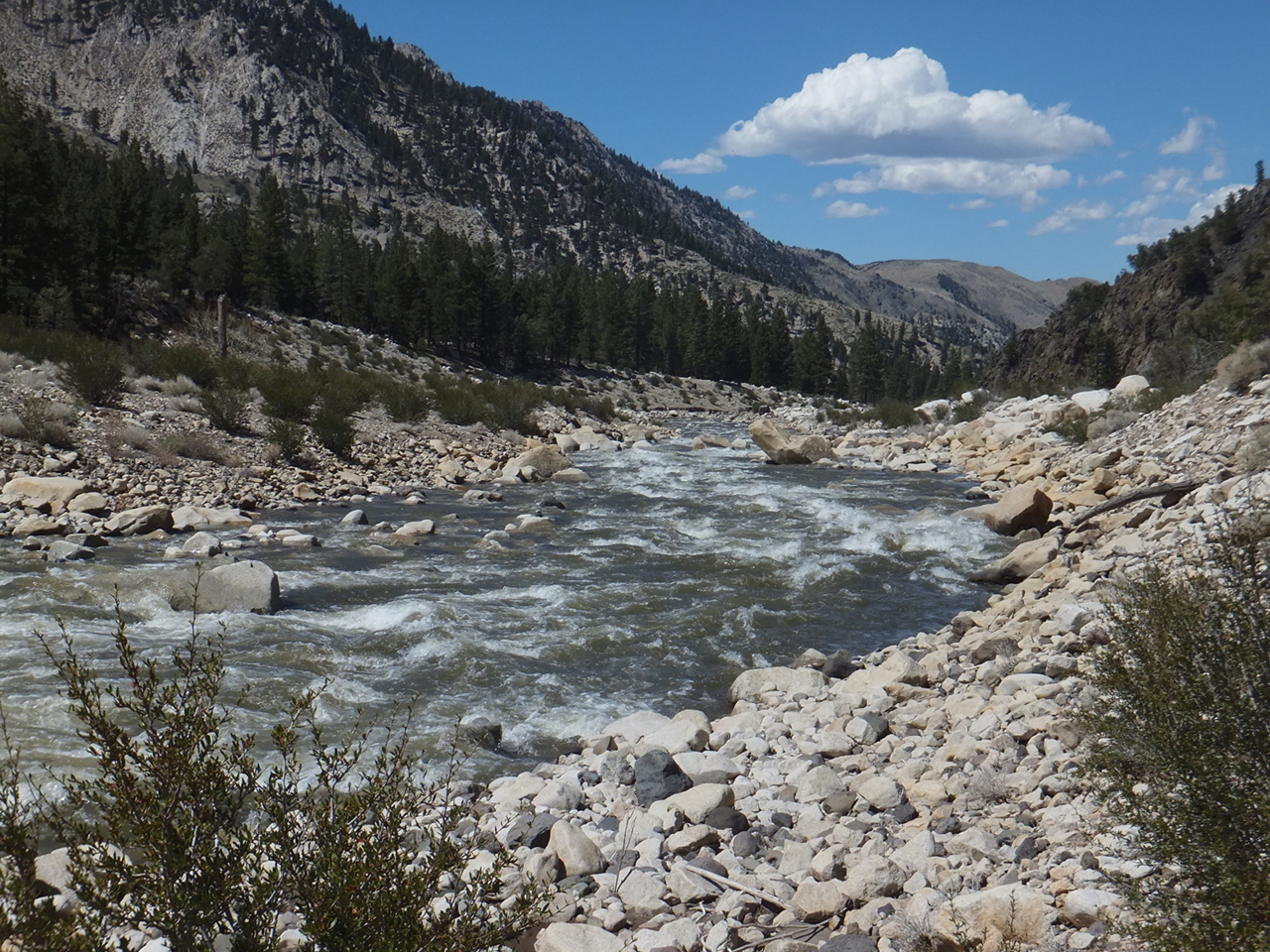
- Eddy on the left below Straight-Away. Gradient decreases.
If flows are high, you might want to start your trip near here.
At low flows it is sometimes difficult to pick the deepest channel.
- 5.6
- Day Use Area, marked China Garden on the topo map,
where the river changed course radically after the 1997 flood.
- 6.0
- Canyon Rapid, class IV-, possibly scout during the shuttle.
At a right bend the river steepens as the gorge tightens
and flows thru a narrow channel next to the roadbed.
Things get easier after a boulder bar drop where an eddy forms
against the right-bank cliff.
-
- 10.7
- Mountain Gateway Park, the alternate and perhaps advisable take-out.
This is the site of a former resort that was completely washed away
by the New Year 1997 flood. Restroom facilities are available (2012).
The entrance to this park is .7 mile uphill (south) of Eastside Lane.
- 10.9
- Rock Creek enters on the right.
- 11.5
- Eastside Lane bridge. Although it is private property,
the traditional take-out is on the left up a rock bank to a large parking area.
Most of the photos were taken around 550 cfs.
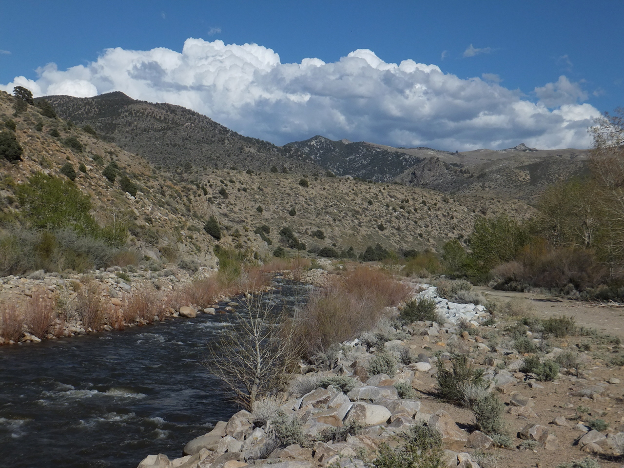
Shuttle Directions
For northern Californians the West Walker is most easily accessible
by driving over Monitor Pass on highway 89,
turning south on highway 395 to Coleville and Walker, then up river to put-in.
For southern Californians,
it is 31 miles north of Bridgeport on highway 395 to the town of Walker.
Motels in Walker get crowded when fishing season begins in late April,
but before then are relatively easy to reserve and a good value.
Campsites usually open at the beginning of fishing season.
Bootleg Campground, across the road and uphill from the most difficult rapids,
is a good place to stay, as is Sonora Bridge Campground near the highway 108 put-in.
|
|
Creeks Navigation
Home
Recommended Runs
Map of Rivers
Alphabetic Index
Alphabetic Table
Text Search
Sponsored Links
|