| |
| Stretch: |
Ruling Creek campground to Pit #4 powerhouse |
| Difficulty: |
Class II then class IV, slightly easier above 400 cfs |
| Distance: |
7.3 miles, 1 short day |
| Flows: |
rafts and kayaks 800 - 4000 cfs, IK minimum 380
|
| Gauge: |
below put-in
(CDEC PR4)
or check Dreamflows
|
| Gradient: |
50 fpm average, steeper in second half |
| Put-in: |
Ruling Creek campground, 2385' |
| Take-out: |
PG&E access at Pit #4 powerhouse, 2020' |
| Shuttle: |
7 miles on dirt road (25 minutes) one-way |
| Maps: |
AAA Northern California,
Topo
|
| Season: |
all year long, higher flows after rain |
| Agency: |
PG&E, BLM |
| Notes: |
© 2015 Bill Tuthill,
CreeksYahoo,
Photos © 2015 Shaun Riedinger |
This is a good run to add for variety when you are in the area
for an October Pit #1 release (writeup here) and
have an extra day after Pit #5 (writeup here).
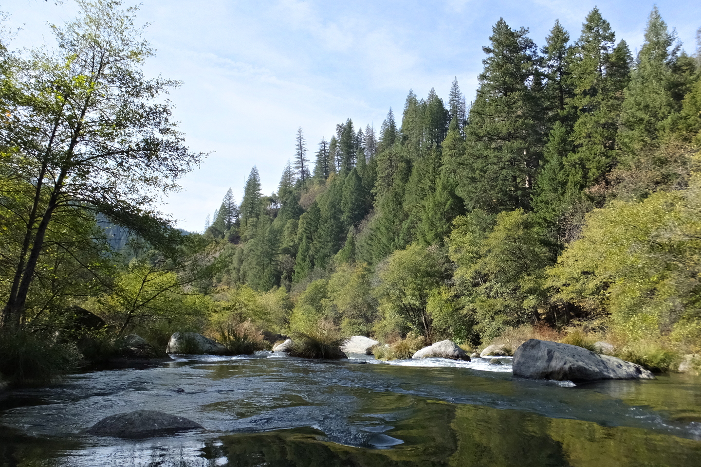
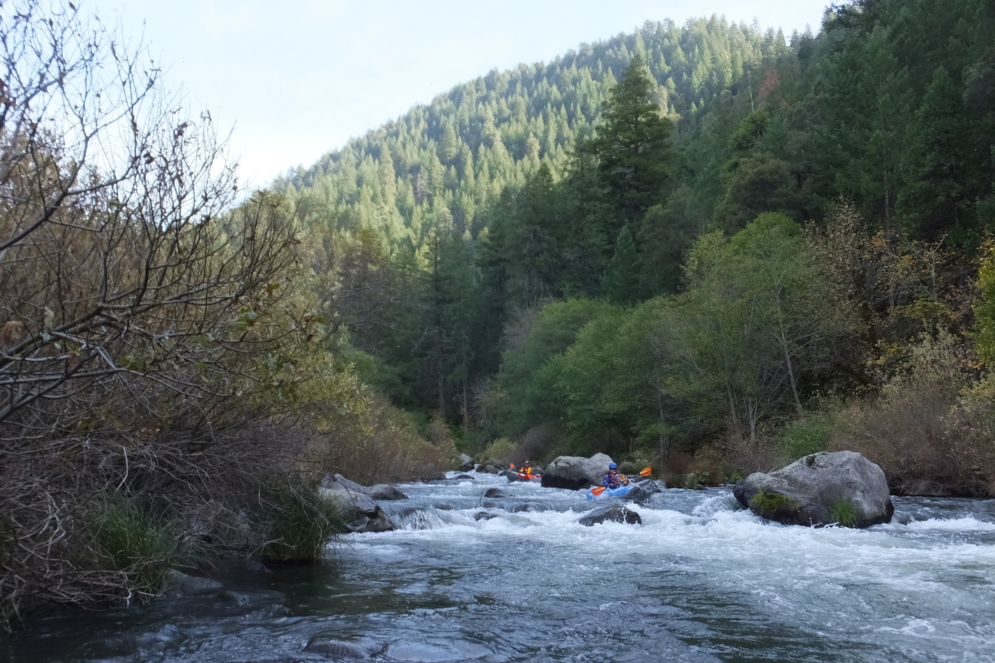
Scenery is good and rapids in the second half are interesting.
At year-long base flows around 400 cfs, Pit #4 is a bit harder than Pit #5
because it has more brush and several more class IV rapids,
however it's not as much fun because it has fewer class III rapids.
Charles Martin's 1974 guidebook covered this run, but at the flow they had,
his description bears little resemblance to the river at base flows.
In the intervening years an electric utility built a system of diversion dams,
hence Carl Trost's famous quote:
“The PG&E giveth and the PG&E taketh away.”
During these years the Pit reaches could be run only after winter rain, as in
Daniel Brasuell's writeup.
As part of FERC relicensing, PG&E was asked to keep more water in the river
and divert less. Thanks American Whitewater activists!
After retrofitting pipes and turbines,
the Pit #5, #4, and #3 sections now have year-long flows around 400 cfs.
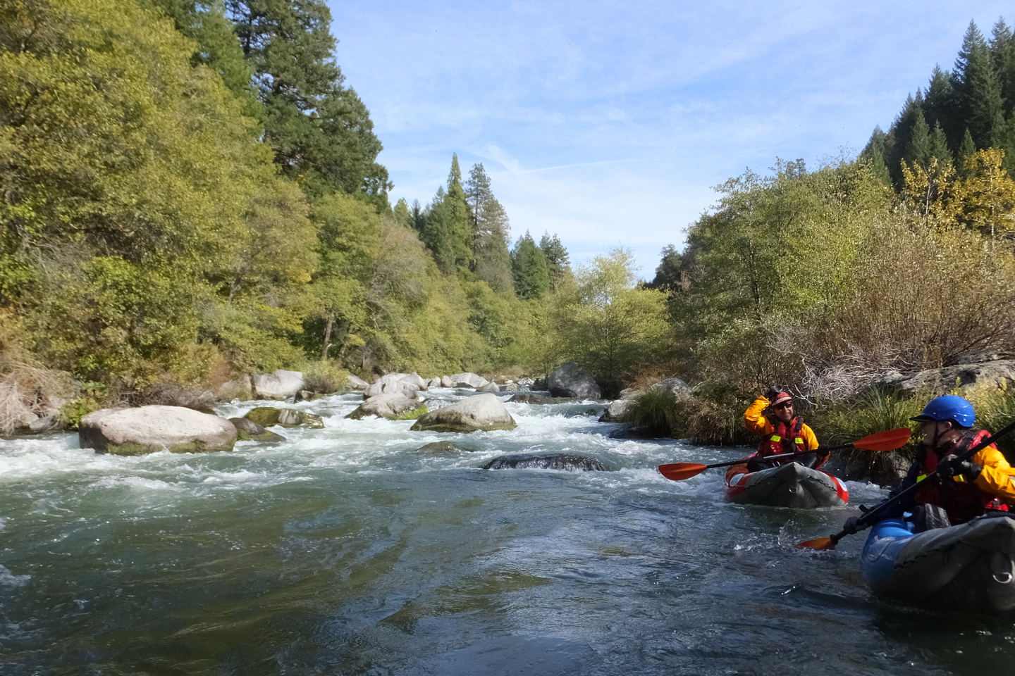
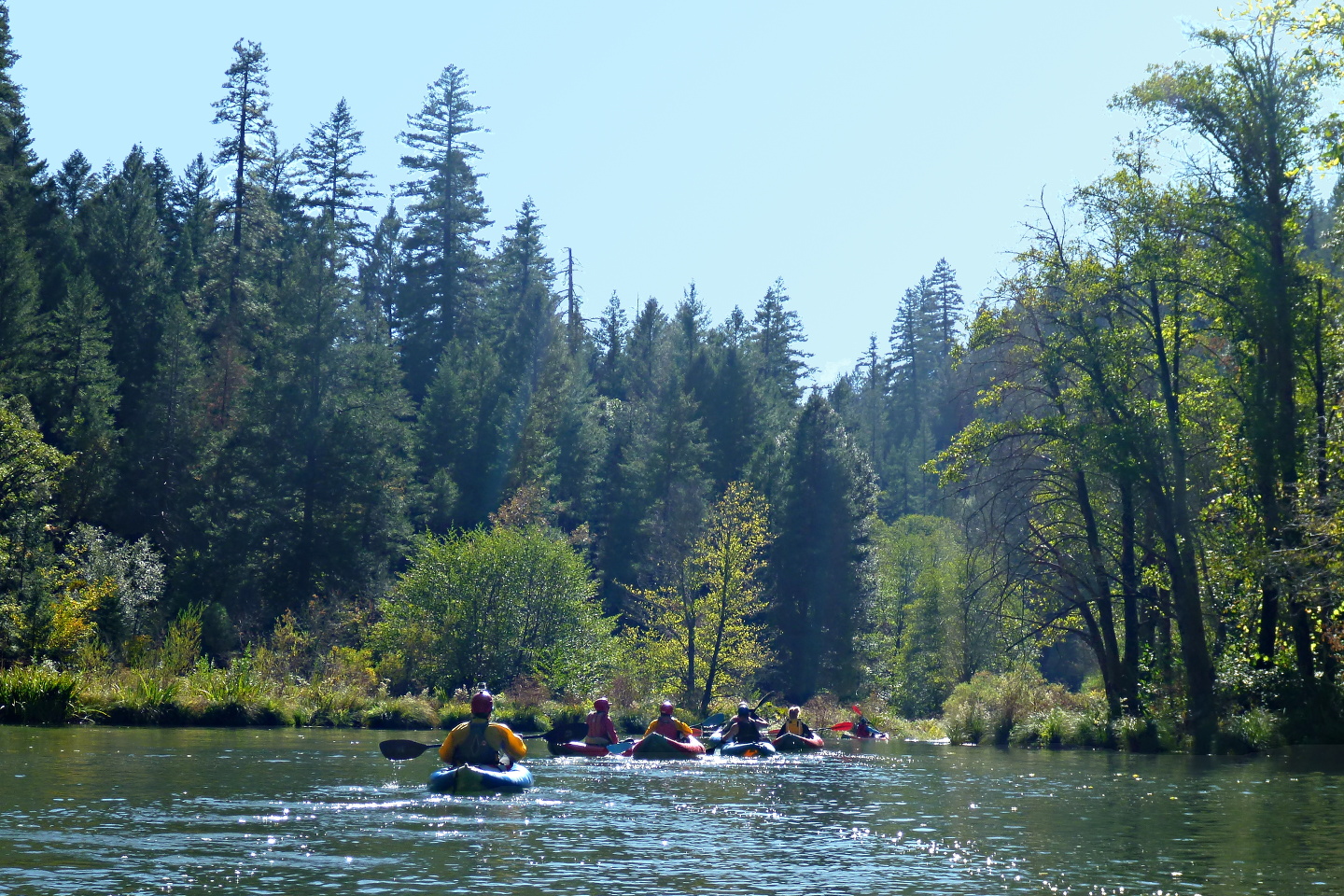
This is not enough for rafts on Pit #4, but it is plenty for inflatable kayaks.
Photos on this page were taken during the 2015 drought year at 390 cfs.
- 0
- Put in at the far upstream end of Ruling Creek campground,
with many fine tent sites, low fees, and vault toilets.
- .8
- Gaging station on the right bank. Just downstream is an alternate put-in
on a low bench near the end of a dirt side road.
- 1.8
- First significant rapid, just above Malinda Gulch.
- 2.7
- After a chalk cliff is visible at the top of a mountain on the left,
the river bends right and Canyon Creek enters on the left.
Whitewater gets interesting after this point, with class II-III rapids.
- 3.6
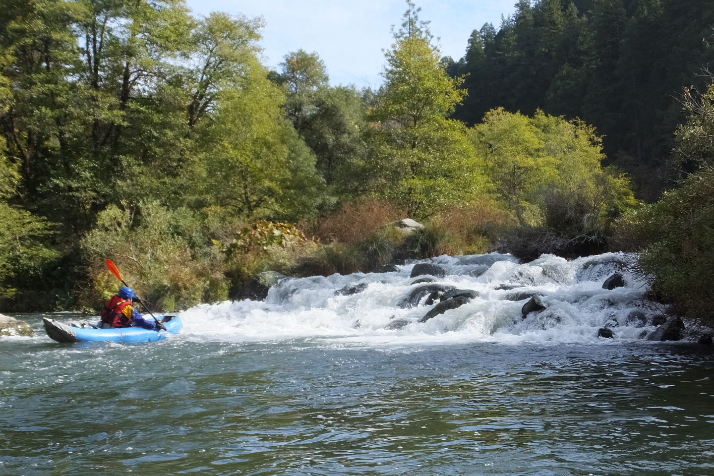
- Rock Pile Ending, class IV-.
This one ends with a pile o' rocks that is really not navigable at low flows.
The sneak route on the right, also rock infested, is recommended instead.
-
- 4.0
- A long class III rapids starts before a right bend and continues
for another quarter mile in the straight-away below.
The shuttle road might be visible if you look uphill on the right.
Two lesser rapids then occur, each after a pool.
- 4.6
- Blind and Steep, class IV.
After Oak Flat on the right, Blackberry Creek enters on the right.
The left bank is somewhat flat and open enough to scout if you want.
Enter on the left, work center or right of center, and exit on the left.
-
- 5.0
- Steep rock garden, class III-IV.
Deep Creek campground (abandoned?) is marked on maps.
- 5.3
- Steep rock garden again, class III-IV.
An old road from the campground nears river left below.
- 5.6
- Left Rock Block, class IV, easier on right.
Most of the flow goes left into the shade of tall trees.
A traverse past big rocks over refracting waves is possible on the left,
but a sneak route on the right gives you a straight shot towards the middle,
where the run-out is much less difficult.
-
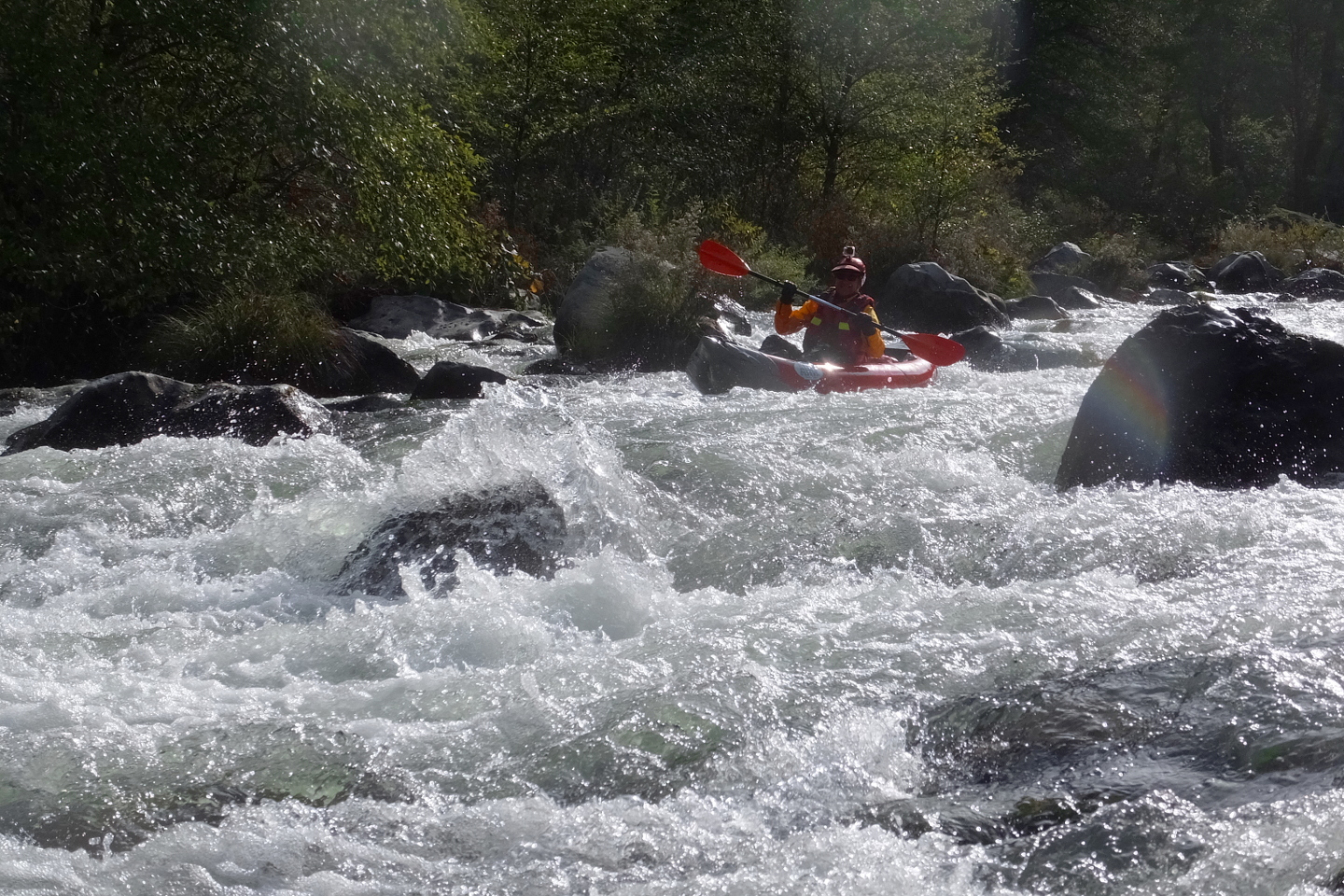
- 6.0
- Sucker Right, class IV--.
From the top it looks like most of the water goes right,
but it ends badly in a weed-infested pile of rocks.
For best results start far left, or in the middle channel moving left.
We are not sure which channel to take at the rockpile ending.
-
- 6.5
- Last Big One, class IV.
The easiest route starts on the right thru some narrow slots,
then traverses from a pool across the main flow to left of center,
then ends right of center.
A more difficult line is available on far left,
joining the other route after the traverse.
-
- 7.1
- The river splits around two islands. Take the center channel,
because the left channel is blocked by large logs (2015)
and the right channel is shallow.
- 7.3
- PG&E access area with vault toilet and stair-step boat access,
within hearing distance of Pit #4 powerhouse.
|