|
Tomki Creek into Eel River |
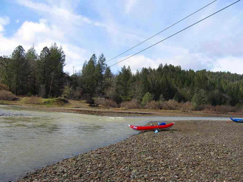
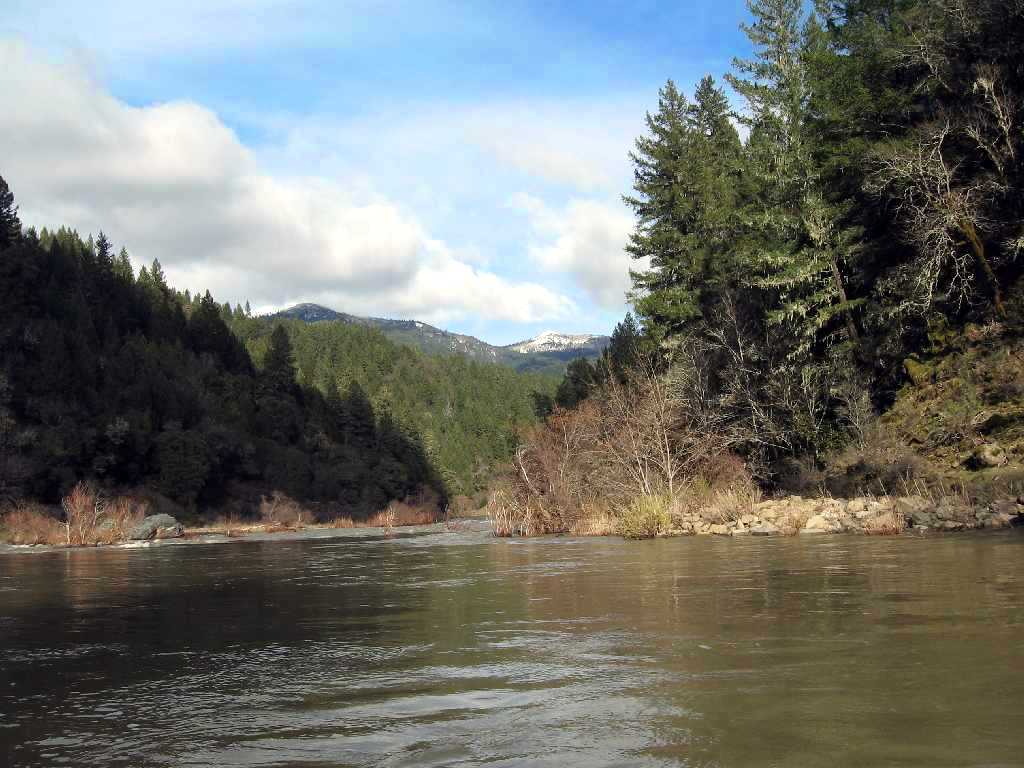
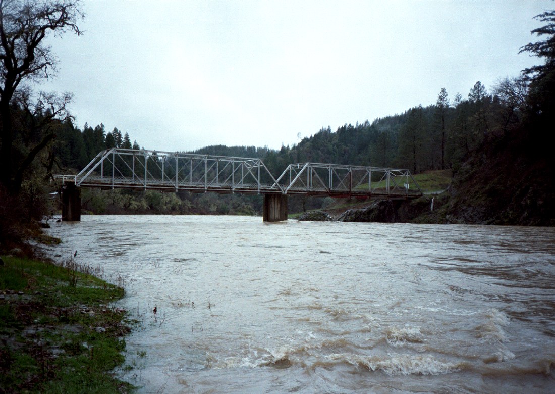
If you searched the Holbek/Stanley book for class III runs and found this one, please be careful. Although the rapids are only class III, brush hazards are considerable. I know expert boaters who have been more scared on Tomki Creek than anywhere else, especially at high flows. Perhaps years ago somebody “maintained” the creekbed by cutting out brush, but recently, even after flood years, Tomki is one of the worst brush monsters in California. At lower flows in sunny weather, this could be a pleasant run. It offers the lowest shuttle/river distance ratio in California, and one of the lowest in the west (Oregon's Umpqua has stretch that is lower). Scenery is quite nice, in an Eel-drainage sort of way, and it is interesting to pick up flow at the Eel confluence, where this becomes a river run instead of a creek run. Downstream of the Hearst bridge (last photo) is the very scenic Main Eel from Hearst to Outlet Creek run, mostly class II with some class III passages. Upstream of the Eel confluence is a seldom-boated low-gradient stretch below Van Arsdale Dam, where flow is diverted to the Russian River. Paul Futscher sent these photos of Tomki Creek at a reasonable flow.
Compare them to the pictures I took when the flow was high and rising. The reason I got only two photos is that I was too scared to take any more while on the river. It was raining hard, the river was rising, and we were fighting for our lives among the limbs of trees. At one point, a branch poked my eye and broke a contact lens. The rest of the way, it was difficult to see with spattered glasses. A hockey goalie's facemask would be useful on this run.
To reach put-in, drive east from Willits on Hearst-Willits Road, but at the other side of the valley go straight onto Canyon Road. After several miles this road descends to Tomki Creek and crosses on a bridge. Continue upstream to the junction with Hearst-Willits Road. Turn left and descend to a low-water crossing, your put-in. To reach take-out from there, drive the opposite direction on Hearst-Willits Road. After several miles, bear left and descend to the town of Hearst along the Eel. Your take-out is in a town park on river left, upstream of the bridge. This is private property, so be respectful of the townfolk.
|
Creeks NavigationHomeRecommended Runs Map of Rivers Alphabetic Index Alphabetic Table Text Search
Sponsored Links
|