| |
| Stretch: |
Hearst bridge to Outlet Creek |
| Difficulty: |
class II with a class III section and flatwater |
| Distance: |
18.5 miles, easy day trip above 2000 cfs, camping possible |
| Flows: |
kayaks and rafts 500 - 8000 cfs at put-in |
| Gauge: |
release from Van Arsdale
(EVA)
plus many side streams |
| Gradient: |
16 fpm average |
| Put-in: |
bridge near the town of Hearst, 1293' |
| Take-out: |
bridge at the Outlet Creek confluence, 1000' |
| Shuttle: |
33.5 miles (1 hour) one-way, partly on dirt |
| Maps: |
BLM map of Covelo California, AAA Sonoma and Mendocino |
| Season: |
winter and spring, from recent rain |
| Agency: |
mostly private, some BLM |
| Notes: |
© 2010 Jerry Albright.
Photos © 2010 June Albright.
|
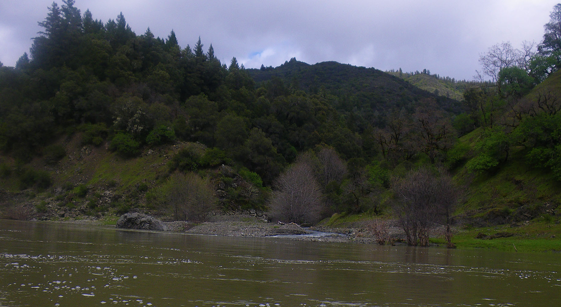
This is an excellent semi-wilderness run.
Scenery is good especially in the first half of the run.
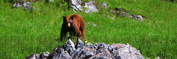
Paddlers could easily see black bear, deer, otter, mink, wild pig, and fox.
Keep an eye out for mountain lion, rattlesnake, and poison oak.
It is not uncommon to see bald eagles or golden eagles with their young.
|
Black bear near Fish Creek
Photo © 2010 June Albright
|
At flows below 2000 cfs, plan on a long day.
At flows above 3000 cfs, you can finish in 4 hours or less.
The Hearst run is not suited for paddlers wanting quick action and play spots.
It is more suited for those desiring scenery and remoteness.
Most of the land is privately owned.
BLM land with good camping access appears in the middle of this run.
For precise location refer to the cited BLM map.
Side hiking should be done with caution during the spring and summer
because you are in marijuana country.
Hikers, even on BLM property, could walk into a garden.
This Hearst section of the Eel River has claimed many canoes
of those not prepared to run these class II and III rapids.
Canoe and kayak parts, not yet removed, can be seen along this section.
Hiking out below mile 3 becomes very difficult.
Fortunately the most difficult rapids start and end before then.
This run is slightly more difficult below 1200 cfs due to exposed rocks,
and also more difficult above 8000 cfs due to stronger currents.
Optimum flow is 2000-4000 cfs.
At 2000 cfs expect a 5 hour trip depending on craft,
with shorter and longer times at higher and lower flows.
The minimum for an overnight trip is around 500 cfs.
It takes about 3 hours for the Van Arsdale flow to reach the put-in at Hearst.
This run is best during or shortly after a rain event
greater than 1.5 inches within 24 hours.
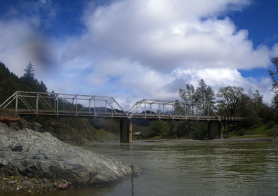
- mile 0
- Hearst Willits Road crosses the Eel River at the Steel Bridge.
Access is downstream left of this bridge. Use with care, because
it is private land owned by Emandal Farms. This is take-out for the
Tomki Creek run, class III+ with brush.
-
|

|
|
Steel bridge
|
Rapids pick up
|
- 0.3
- Salt Creek enters on the left. The river starts a 180 degree turn.
- 1.2
- Hearst Falls, AKA Mary's Rapid, class II at lower flows.
Shortly thereafter is a small rural subdivision on the right.
- 2.2
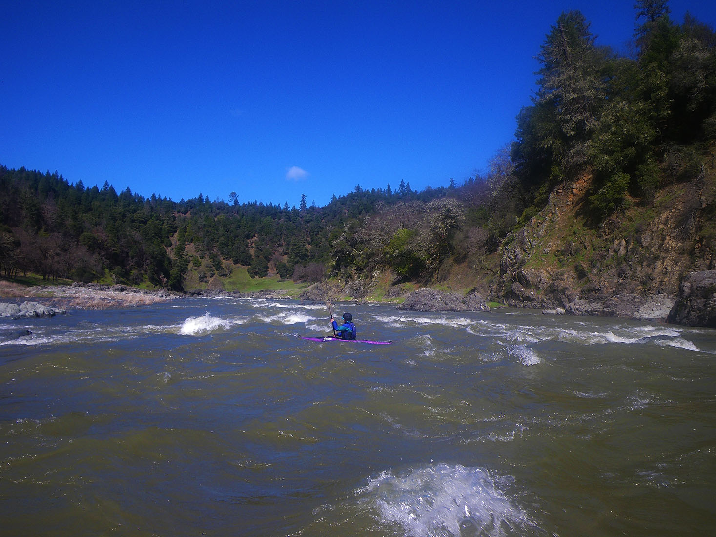
- Gradient picks up, causing a stretch of significant rapids.
- 2.4
- Shotgun Rapid, class III.
Abandoned Ramsing ranch house and out-buildings on the right.
So named after Walter and Francis Ramsing. Walter was known to
greet boaters with his shotgun if they paused to scout here.
Mr. Ramsing mellowed to boater traffic in his later years.
As the ranch house comes into view, eddy out on the right side
in the pool above Shotgun Rapid to scout. You can easily walk
the corner to get a full view of both Shotgun and Ramsing Corner
as it turns into the first and best canyon section. At lower flows
you can run Shotgun starting right center: miss the entry rocks,
and then finish the run closer to the right wall as you pass
into Ramsing Corner. There is a good eddy below the last drop
where you can regroup if needed.
-

|
|
|
Shotgun Rapid
|
Ramsing Corner
|
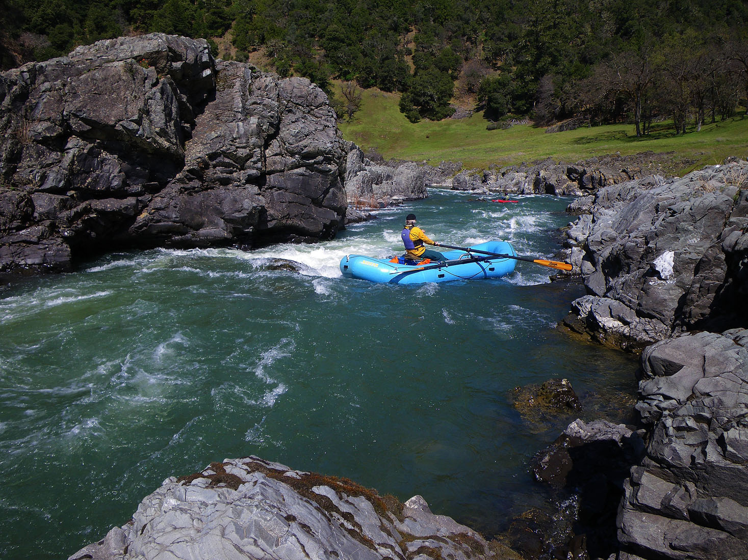
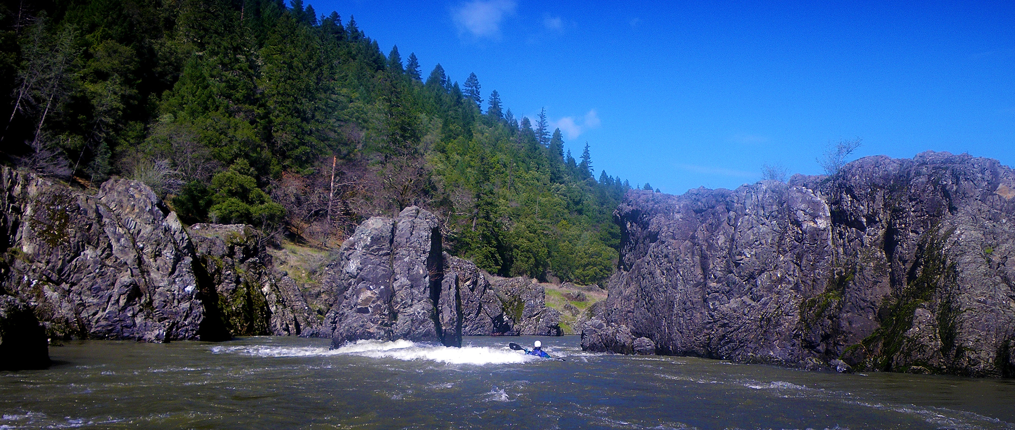
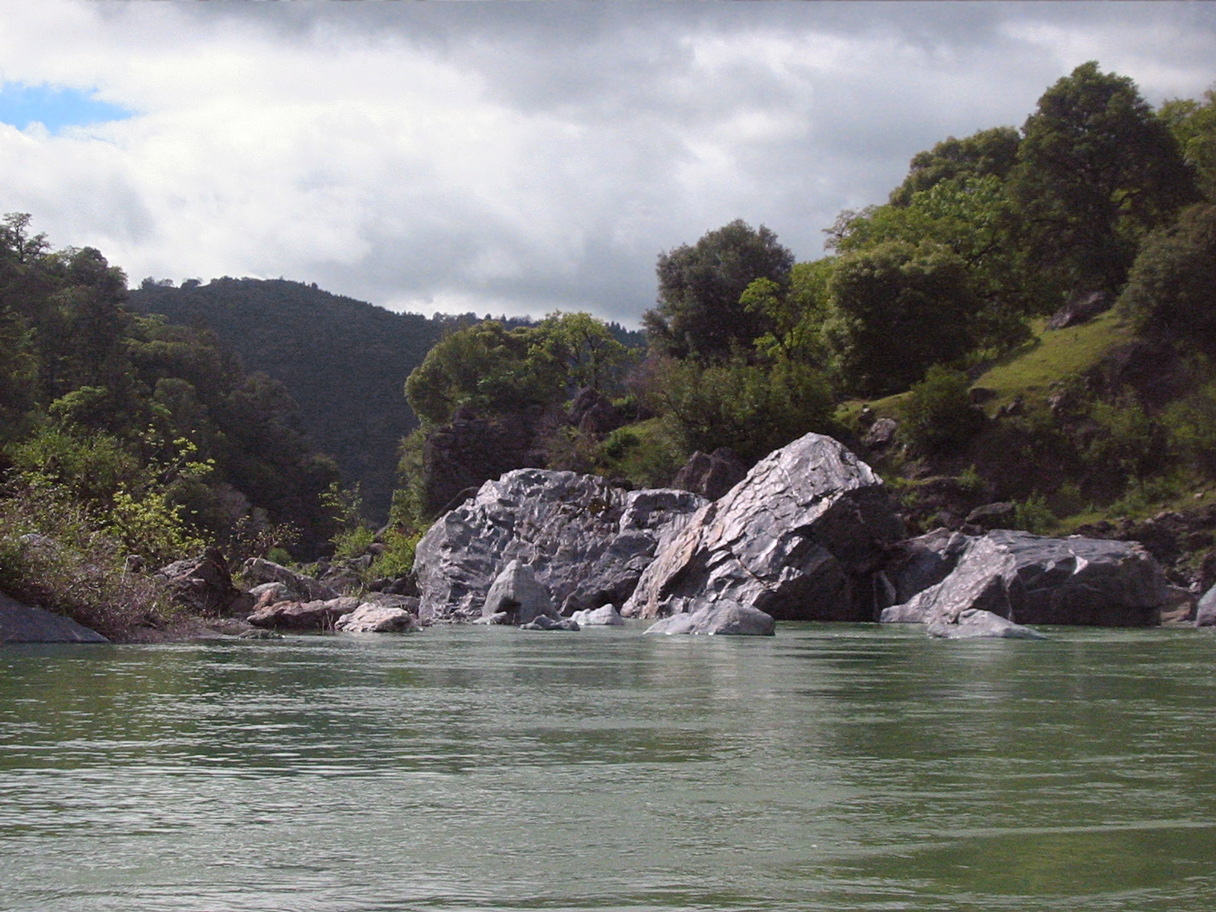
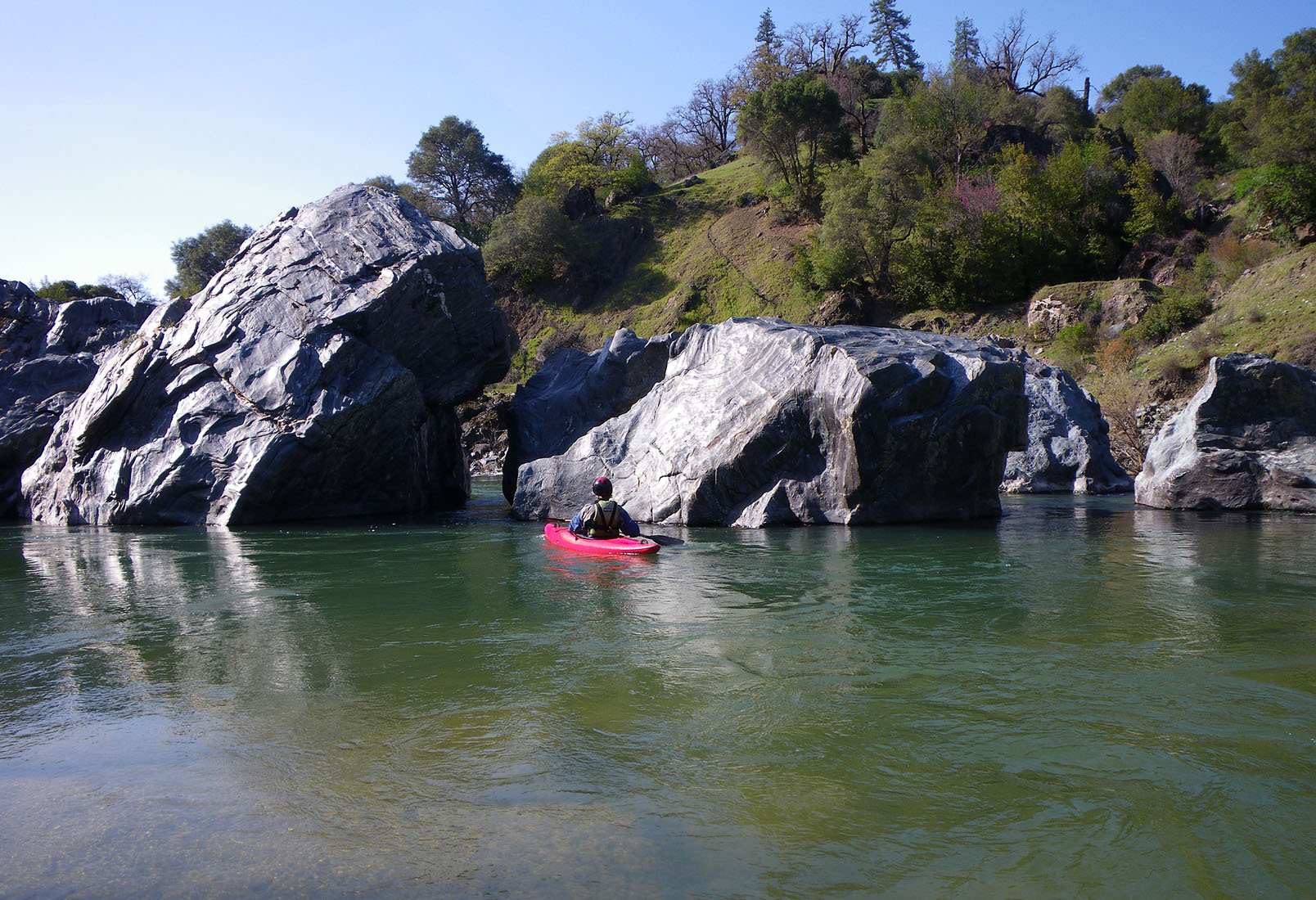
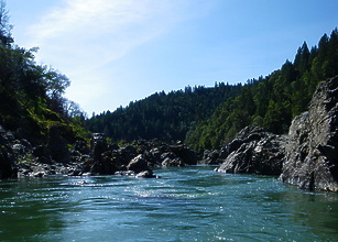
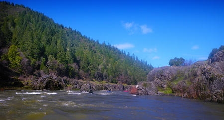
- 2.5
- Gorge Entry Rapid. The current headwalls into a large house-sized
boulder and then shifts left. There is a cheat chute on the
far left side of this drop. Note the driftwood debris piles
on the right banks as you make your way down this upper gorge.
Debris at the upper levels was deposited in the 1964 floods, and
at the lower levels from more recent high-water events.
-
|

|
|
Dropping into the canyon
|
Island in the canyon
|
- 2.6
- Unnamed class III rapid. At lower flows the recommended scout
is on the left, and the best run is left to center.
- 2.9
- Class II rapid, best run from left to center at lower flows.
-
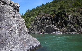
|
|
|
Canyon boulders
|
Cabin on the right bank
|
- 3.2
- Large rock island. At lower flows go left.
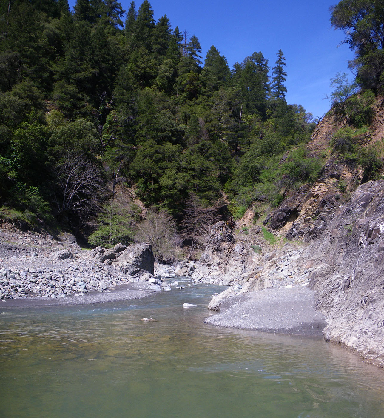
- 6.0
- Old Woman Creek enters on the right.
-

|
|
|
Old Woman Creek
|
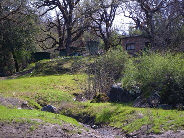
Fish Camp
|
- 7.5
- BLM land begins on both sides of the river and continues until
shortly above Old Fish Camp, offering several camping options.
- 8.3
- Old Fish Camp and creek on the left. End of BLM land.
- 8.4
- You are now in the lake section, about a mile short of half way.
With upstream winds at lower flows, this section can feel like
an uphill paddle.
- 10.75
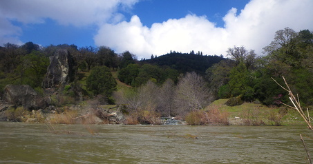
- Fish Creek enters on the right.
-

|
|
|
Fish Creek
|
Indian Creek
|
- 11.8
- BLM land for a short distance; refer to BLM maps.
- 13.7
- Around a bend, the river doubles back on itself.
- 15.1
- Indian Creek enters on the right.
- 16.7
- Brushy Creek enters on the right.
- 17.3
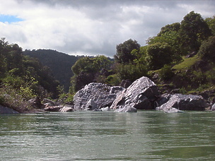
- Large boulder maze blocks the river.
The safe route is on the right where Alder Creek enters.
-
|

|
|
Large boulder maze (Paul Futscher)
|
Passage on right side
|
- 18.5
- Take out on river right at the Highway 162 bridge.
Outlet Creek enters on the left below the bridge.
Upstream of the bridge is best for rafts.
Properties above the bridge are private, so use with respect
and pick up some litter. Do not park on the paved gate access,
or in front of the fire-road access gate down to the river.
Downstream right is the traditional access for the lower run,
Outlet Creek to Dos Rios, class III.
Shuttle Directions
To reach put-in:
At the north end of Willits on Highway 101, turn east on Commercial Street.
Odometer reading is mile 0.0. At mile 1.5, keep left at a Y intersection.
At mile 3.6, go straight on Canyon Road. Do not turn left here (no bridge).
Drive up into the canyon. At mile 7.4, keep left; note signs on the pine tree
for Hearst & Emandal 7 miles to your left.
Cross the concrete bridge over Tomki Creek. Soon the road turns to gravel.
At mile 9.2, turn right at the T intersection and head uphill.
This is Hearst-Willits Road. At mile 14.4, you see the Silver Bridge crossing
the Main Eel River. This is the put-in.
Access is downstream of the bridge on river left.
To reach take-out:
From Highway 101 north of Willits, exit at Highway 162 towards Covelo.
At mile 8.5 you should cross the Main Eel river near the confluence
with Outlet Creek. This is the take-out.
Short cut: after you enter the Willits Valley Floor note Hearst Willits Road
to your right at the T intersection. Turn left onto Reynolds Highway
at the next intersection. Do not head up into the hills.
At Reynolds Highway and Highway 101, head right.
References
West Coast River Touring by Dick Schwind, 1974, page 140.
Easy Waters of California by Ann Dwyer, 2000, page 98.
|
|
Creeks Navigation
Home
Recommended Runs
Map of Rivers
Alphabetic Index
Alphabetic Table
Text Search
Sponsored Links
|