|
American River North Fork Chamberlain |
Because of its proximity to Sacramento, some very exciting whitewater, and the striking beauty of its canyon, this is among the most popular advanced rivers in northern California. Distance is short, but boaters can overcome this drawback by setting two shuttles, or by combining this run with the beautiful class II-III run downstream. The combined run makes a superlative commercial rafting trip during spring snowmelt. In wintertime, just a little low-elevation rain brings up the flow. The Holbek/Stanley book says that 800 cfs is the minimum level for kayaks, but I know people who have run it lower than 300 cfs. At that level it's not ultra exciting, but it is still fun, and only a few rapids require boat dragging. The Cassady/Calhoun book says that small rafts can negotiate as little as 500 cfs. With abbreviated days in mid winter, the short river distance works in your favor. In springtime, first low-elevation snowmelt, then medium-elevation snowmelt, bring up this run to exciting levels. Commercial rafters prefer flows between 1000 and 3000 cfs. Unfortunately this river gets very little high-elevation snowmelt, so flows do not last all summer. Carpe aquem (grab the flow) as they used to say in Latin. If warm rain falls on heavy snowpack, this river can become too high to run. The canyon is narrow, especially near Chamberlain Falls, so highwater conditions are difficult, requiring great skill. Even certain moderate flows this section can be hazardous due to many sieves, undercuts, and entrapment points. It has already claimed the lives of at least half a dozen boaters. Fortunately the most dangerous spot (bottom left of Staircase) changed in the January 1997 flood, and seems much safer now. Above put-in is the world-famous Giant Gap run, and above that is the so-called Generation Gap run. Shortly below put-in, the river enters class IV Slaughter's Sluice, which you might want to scout from the south side road beforehand. This is a three-part rapid obscured by a big boulder at the entrance. At low water, kayakers have been pinned on the ledges of this rapid. At high water, Slaughter's Sluice presents a tremendous challenge, but the first part offers a sneak route on the left.
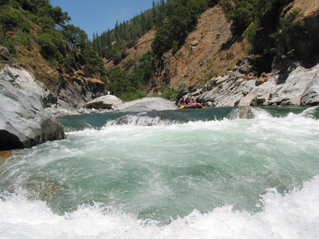
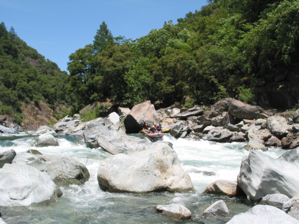
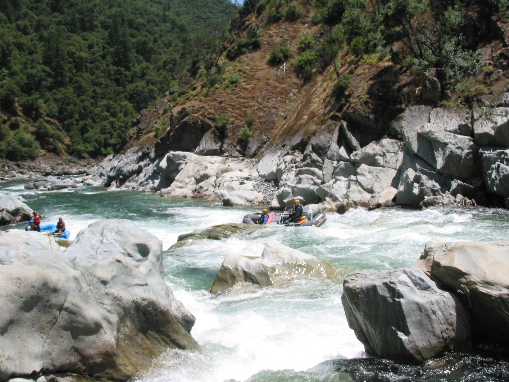
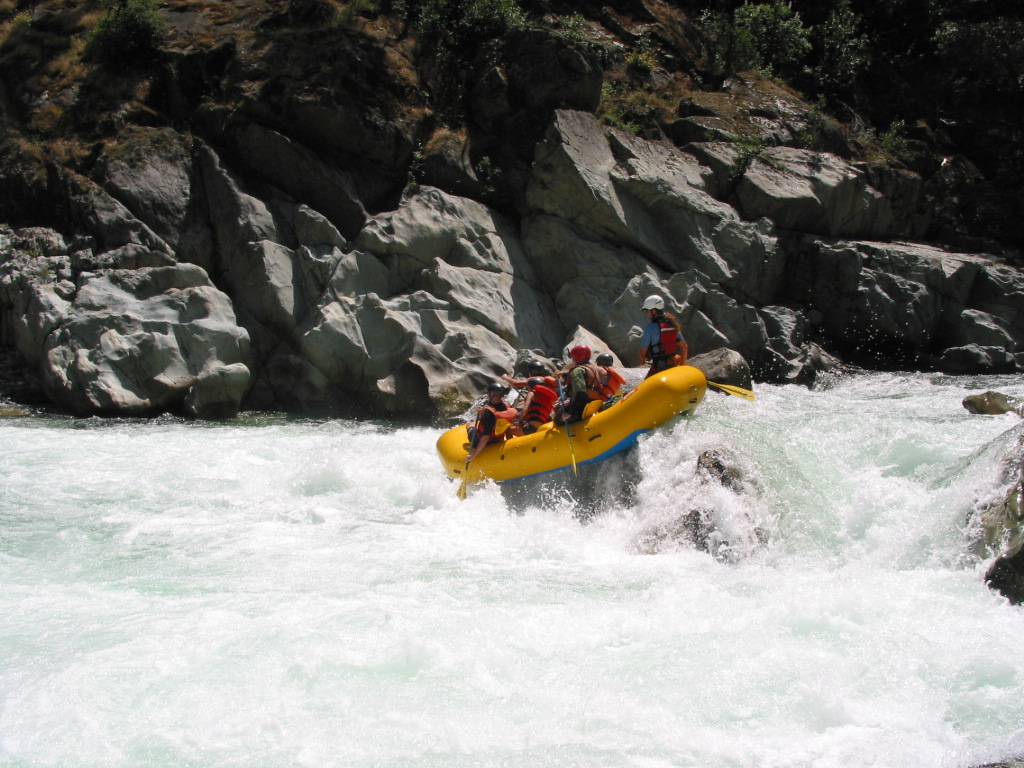
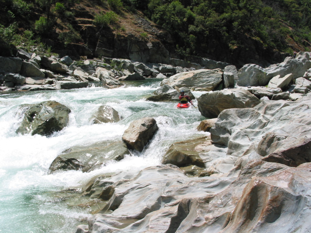
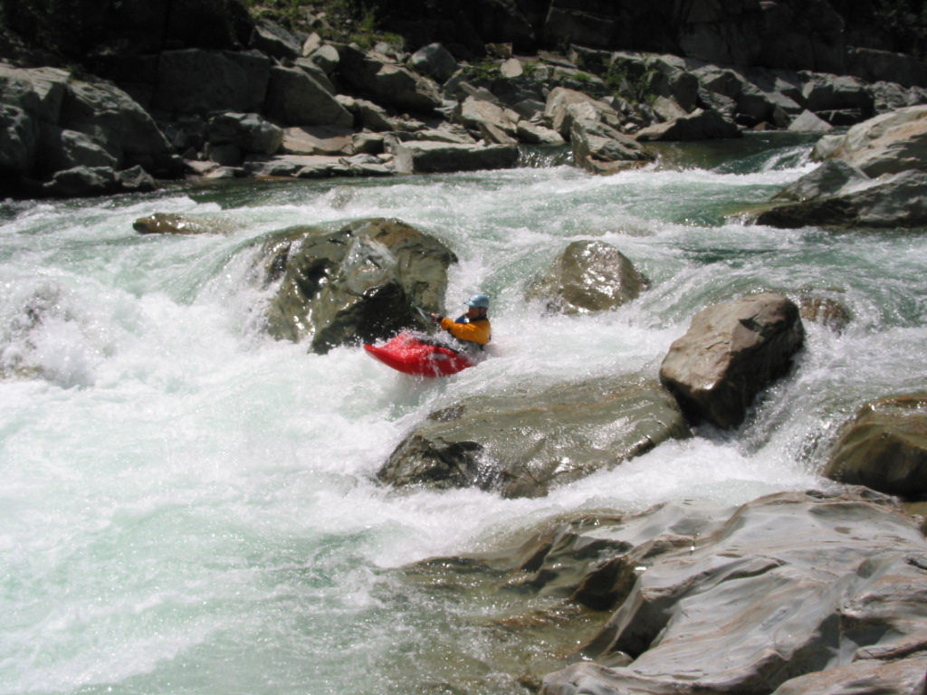
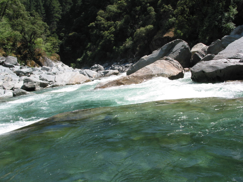
Chamberlain Falls follows at mile .8, with its huge keeper hole in the center at moderate and high flows. The normal routes are to take a tongue on either the left or right. A commercial rafting passenger died in 1995 after swimming above and thru Chamberlain Falls. The rapid was named after an early kayaker who got trashed in the hole. These photographs show Chamberlain Falls at moderately low water.
Three major rapids follow, all of which Cassady/Calhoun rate class IV, but which few boaters ever scout. Tongue and Groove at mile 1.1 has a so-called tongue on the left, actually a falls, and a maze-like groove left of center. A death occurred here in 1991 when one raft got stuck, causing a second raft to flip, whose guide became entrapped on the right side (passengers floated safely to the left).
Zig Zag at mile 1.6 involves boulder dodging: center, right, left. Achilles' Heel at mile 2.4 is another boulder slalom, skinny at low flows on the right side. Below that, watch for an innocuous looking class II with underwater tunnel in the center. Several kayakers have been swept through the underwater tunnel, so far without fatalities.
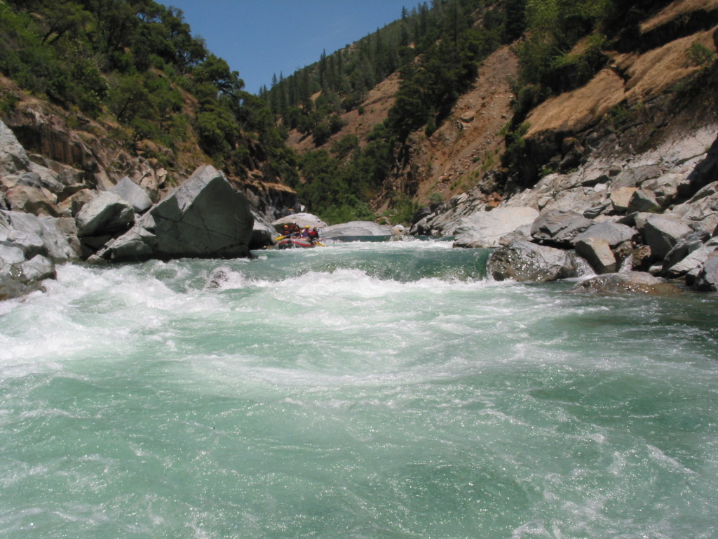
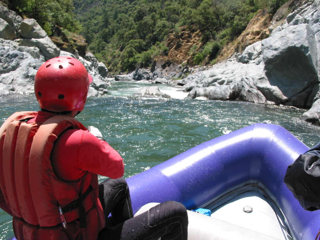
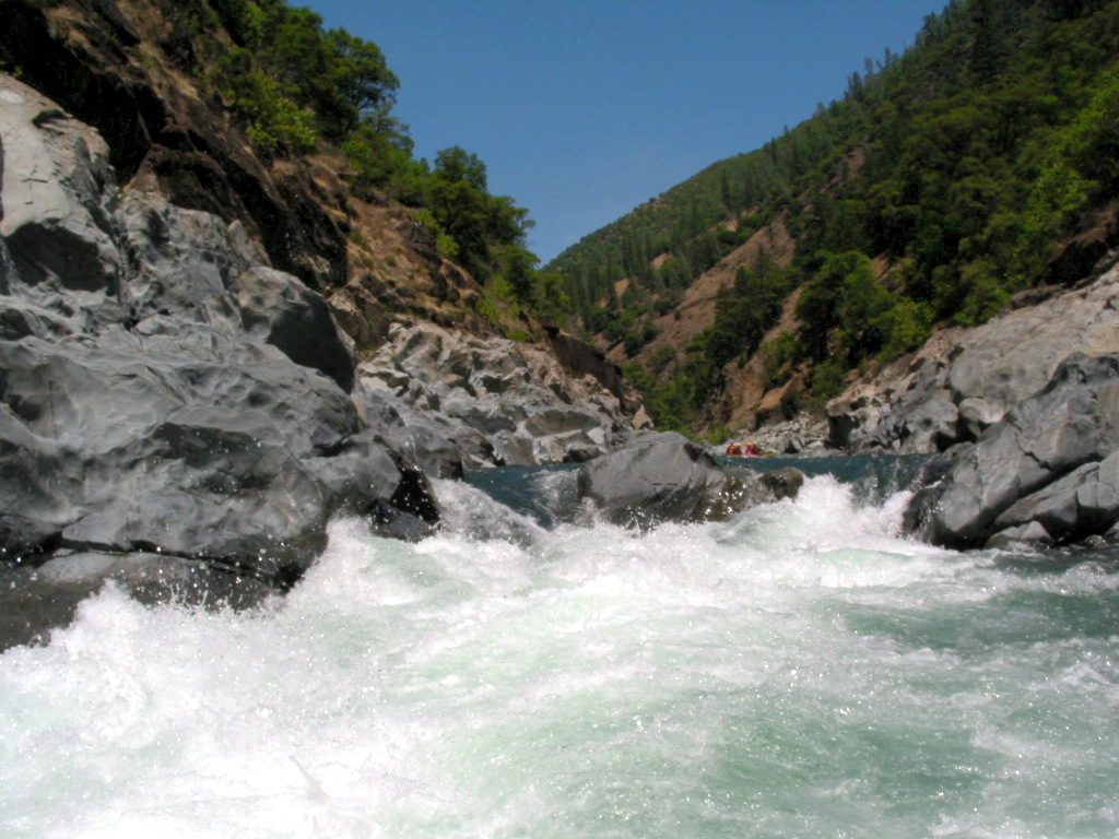
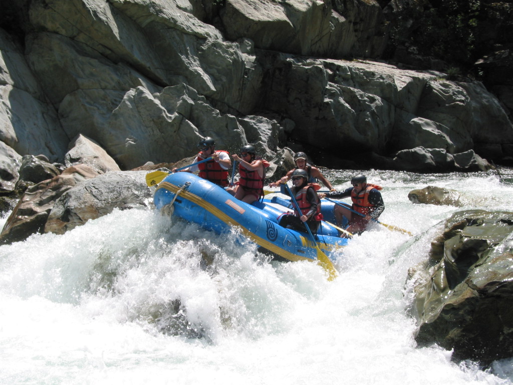
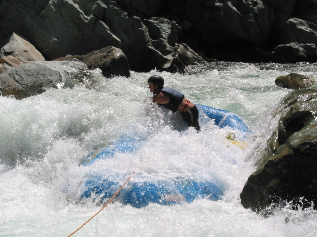
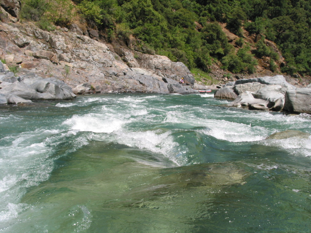
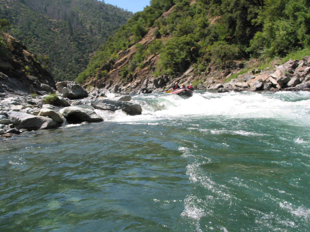
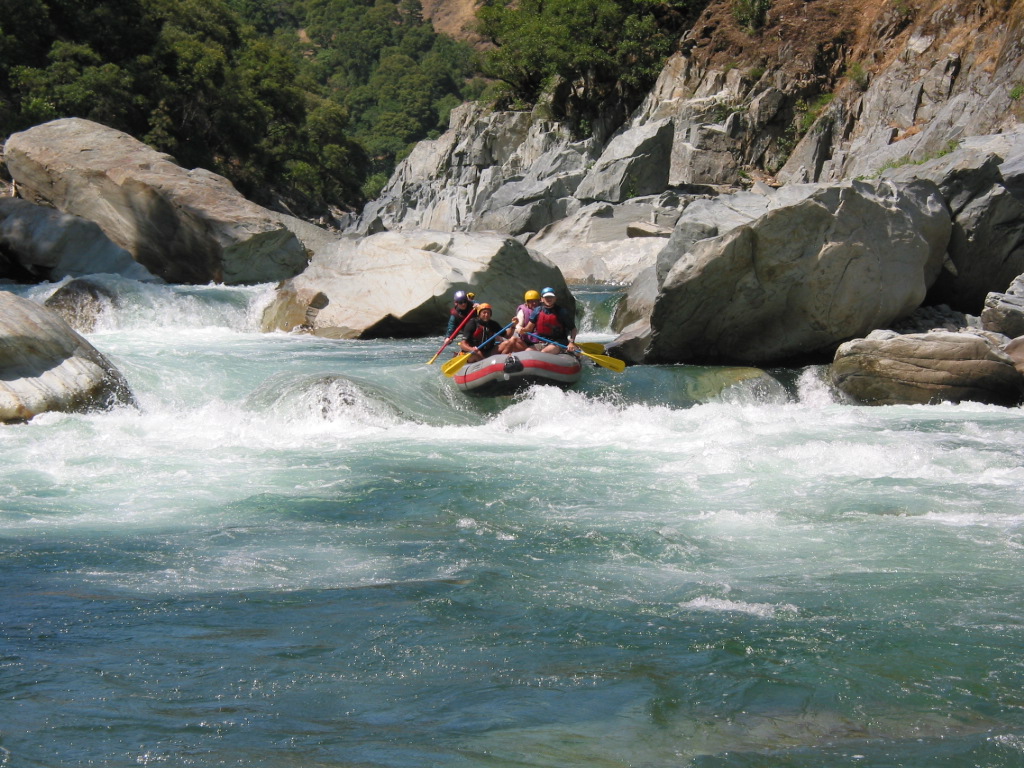
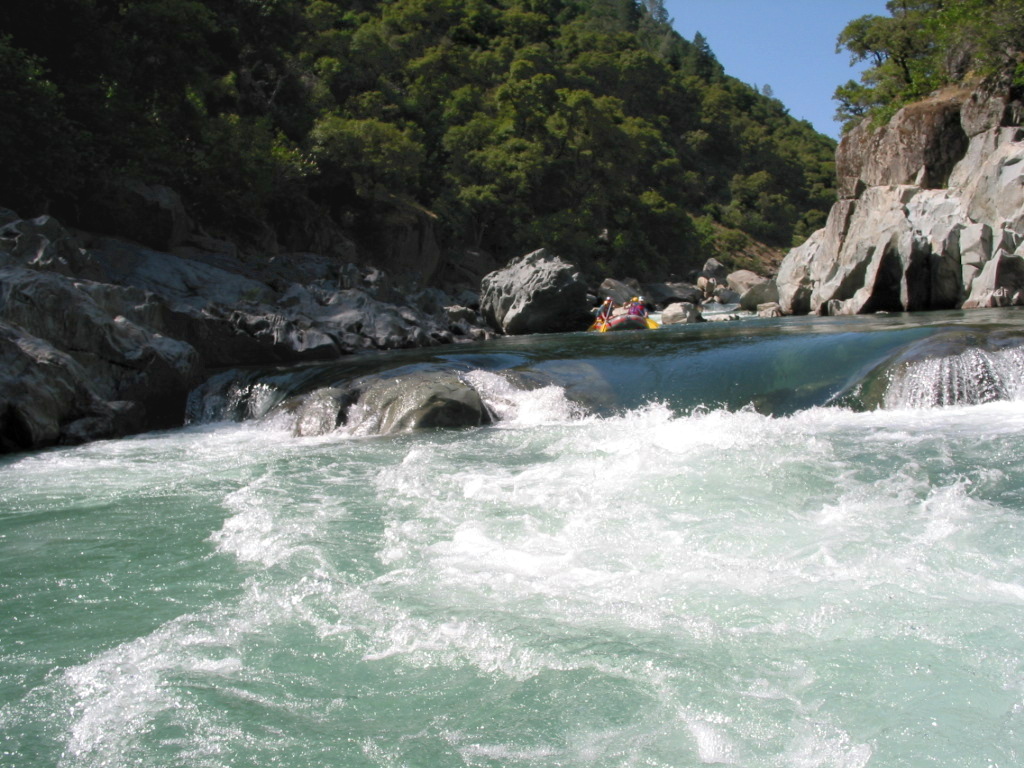
At mile 2.7 comes Bogus Thunder, which Cassady/Calhoun rate class IV. This is a tricky and dangerous rapid, greatly feared by river guides. A commercial rafting passenger died here in 1987(?). Except at higher flows, when rocks get covered, I would rate it class IV+. Many rocks are in the wrong place for a clean raft run, and there are entrapment spots near the easily accessible center channel. What often happens is that rafts do not make the extreme right ferry and get sucked into a diagonal right-left channel where they can get stuck. Knee strains and similar injuries are commonplace there.
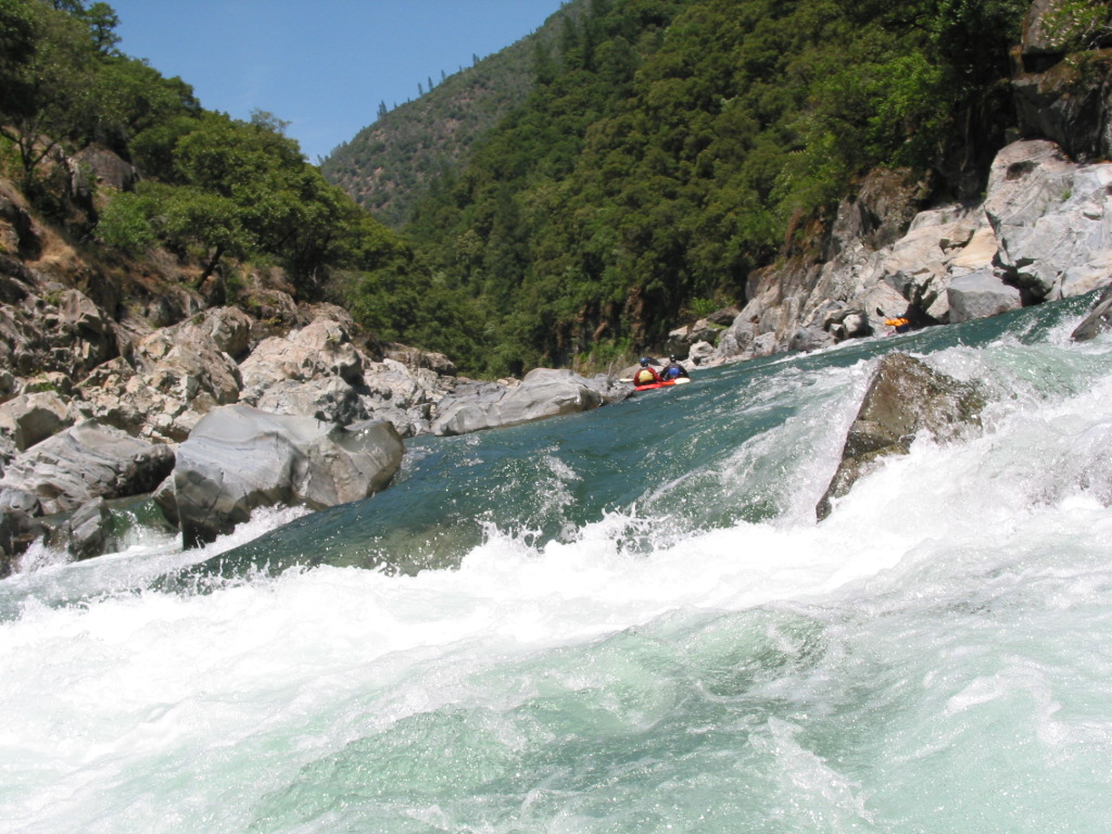
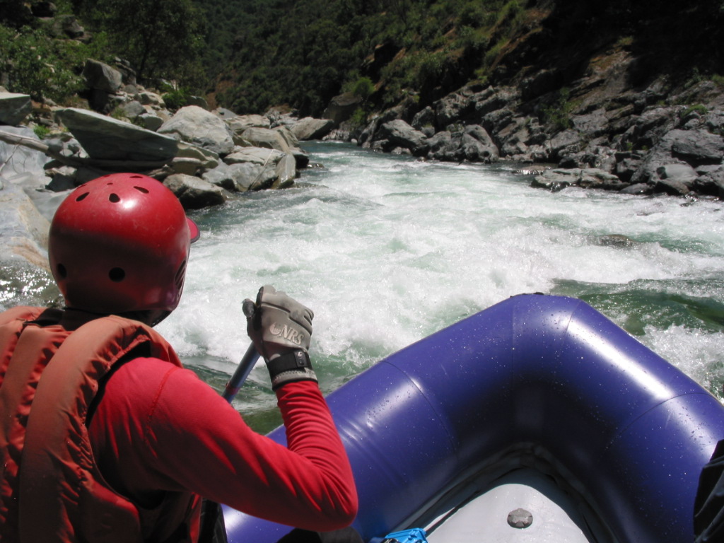
The least risky route for kayaks is on the far left, as shown in these photos:
At mile 3 comes Grand Slalom, also rated class IV, another that most boaters don't scout, although you can scout the entry from the right, and the continuation from behind a midstream rock.
Mile 3.3 finds you at Staircase, which Cassady/Calhoun rate class IV+. Two commercial rafting passengers are listed in the AWA Accident Database as having died here, but it seems to me there have been more. Fatalities were caused by a body-strainer boulder fence plugging the left exit. Although this rapid is technically easy (involving a drop into some waves, a right ferry aided by slow moving water, then lining up for the exit chute), it seems rafters have had difficulties making the required moves. Fortunately the New Year's 1997 flood took out the body-strainer boulder fence, so this rapid is much safer than in years past, at least for now. Currently I would rate it just class IV, although it is long.
Just below Staircase comes Nosestand Rapid, a good place for kayakers to go vertical! Many kayakers love the Chamberlain run just for this one spot. Nosestands are even possible in winter, and at relatively low flows, when you won't find a long line of kayakers waiting for a pop-up. In another half mile you encounter Indian Creek on the left, a nice lunch stop. After Indian Creek it is still more than a mile to the take-out at Shirttail Creek on the left, so enjoy the scenery. There are some fun class II-III rapids in this stretch. Many boaters continue on to the lower river. To find nearby food and lodging, type Auburn into the box and click Search. 
Custom Search
|
Creeks NavigationHomeRecommended Runs Map of Rivers Alphabetic Index Alphabetic Table Text Search
Sponsored Links
|