|
Bear River near Colfax |
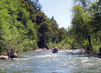
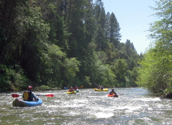
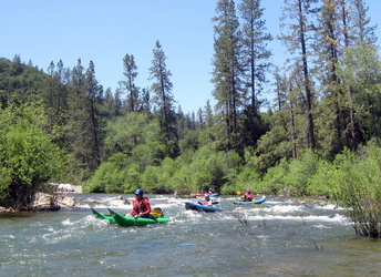
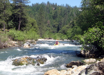
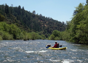
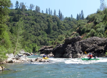
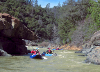
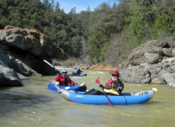
This is an excellent beginner run thru medium-elevation forest and scenic gorges, with swiftly moving water but no big rapids. Because of diversions from the South Fork Yuba, the Bear River contains more water than its gentle canyon would indicate. If you get permission to take out on private land near the top of Combie reservoir (along China Flat Road), this is an 8 mile run. If you paddle to Combie reservoir boat ramp, add 2 miles. Camping is possible at Placer County Park along the river around mile 3, for a nominal fee. Sites fill up fast on weekends. The Bear has many promising sections with good gradient upstream of Rollins reservoir, but these sections are often dewatered by hydro diversions. There is a short class V run starting at the highway 174 bridge. It contains several severe entrapment hazards, but has reliable flow into autumn, so many local paddlers find it appealing. Most of the time these expert paddlers take out at Ben Taylor road. If you put in on Combie Reservoir and portage the dam, you'll find a class IV (?) run with occasional entrapment hazards. Downstream of highway 49, the Bear plummets thru a poison oak infested class V canyon that even stalwart Lars Holbek called a portagefest.
To reach take-out, go north from Auburn on highway 49 about 10 miles. Several miles after crossing the Bear River, at Higgins Corner, turn right onto Combie Road. In about 1 mile, bear right where Magnolia Road bears left, and descend to the end of the paved road north of Combie reservoir. Forget about the boat ramp shown on some maps - it is private. Park inconspicuously in a makeshift parking area next to a field, and take out in debris-clogged shallows at the end of an inlet. To reach put-in, retrace your route and turn right on Magnolia Road. Proceed five miles and turn right on Dog Bar Road. Descend to the river, cross the narrow bridge (an alternate take-out), climb back out of the canyon, and turn left onto Placer Hills Road. Milk Ranch Road turns left downhill after 1.1 mile, leading to Placer County Park camp, and rejoins the shuttle route (now called Tokayama Way) in another 1.2 mile. At the stop sign, turn left on Ben Taylor Road, pass the Colfax high school, and bear left at an unmarked intersection where the road changes to gravel and dirt. Descend thru thick forest to the river, crossing the Bear River canal, and park near a spring at the final right hairpin turn. An easier shuttle would be to turn left (not right) on Dog Bar Road, proceeding 4 miles to a right turn at Taylor Crossing Road. This approach might necessitate bumping boats down Chicago Park Ditch, if the summer bridge is out. The northern put-in has not been tested.
|
Creeks NavigationHomeRecommended Runs Map of Rivers Alphabetic Index Alphabetic Table Text Search
Sponsored Links
|
