| |
| Stretch: |
Bear Creek to Haswell camp or Rumsey bridge |
| Difficulty: |
Class II+ (one class III) |
| Distance: |
5.6 or 8.5 miles or more, 1 day |
| Flows: |
small rafts and kayaks 500 - 5000, IK minimum 450, big raft minimum 700
|
| Gauge: |
measured near take-out at Rumsey
(RUM) |
| Gradient: |
25 fpm average, less near end |
| Put-in: |
Bear Creek, where highway 16 leaves Cache canyon, 630' |
| Take-out: |
Haswell Camp parking area, or under Rumsey bridge, 400' |
| Shuttle: |
9 miles (15 minutes) one-way |
| Maps: |
Delorme N Cal, AAA Sonoma and Mendocino,
Topo
|
| Season: |
Spring and summer, rain or dam release |
| Agency: |
BLM, private,
guided Whitewater Rafting |
| Notes: |
© 1998-2024 Bill Tuthill,
CreeksYahoo |
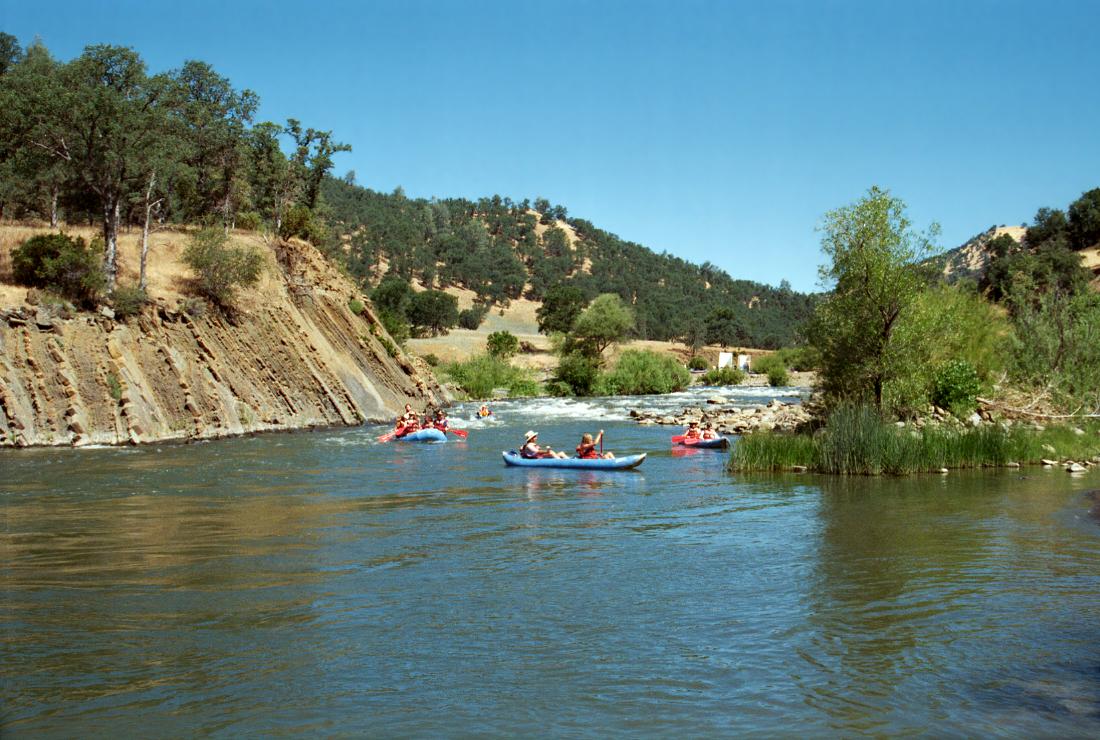
This is one of the most popular whitewater runs in California,
owing to semi-reliable summer flows and proximity to population centers.
Many fun class II+ rapids are concentrated in a short distance.
Water quality is improved by north fork releases from Indian Valley reservoir;
the whole place seems greener since native Americans built a casino in Brooks.
Cache Creek has become big with the “short boat” set
because it contains many good play spots.
There are fewer rafters than on the South Fork American,
so park-and-play kayakers don't mind pulling into an eddy and waiting
for inner-tubers and self-guided commercial boaters to pass by.
On summer weekends you see a large number of self-guided kayakers,
mostly in 2-person inflatables. Related to this is an odd sight:
a guide with a flag telling customers how to enter Mother Rapid.
The Cassady/Calhoun guidebook describes the standard summertime run
from Yolo County regional park to Rumsey bridge.
This misses several fun class II+ rapids just below the Bear Creek confluence,
so many people put in where highway 16 climbs away from Cache Creek,
despite the tight parking and carry down to the water.
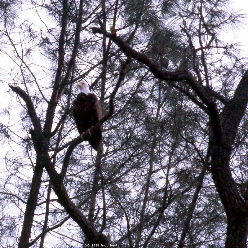
The Cassady/Calhoun guidebook also describes a wilderness run,
where boaters report frequent wildlife encounters,
starting where the dammed North Fork crosses highway 20.
For a description, see Wilderness Cache Creek
on this website.
The Holbek/Stanley guidebook recommends Cache Creek as a rainy season run
for its high flows and continuous rapids. There are more scenic choices
available after recent rains, but you might enjoy the fast class III+ action
of Cache Creek in flood stage.
For quiet-water paddling on nearby Clear Lake, see
Konocti Water Trails.
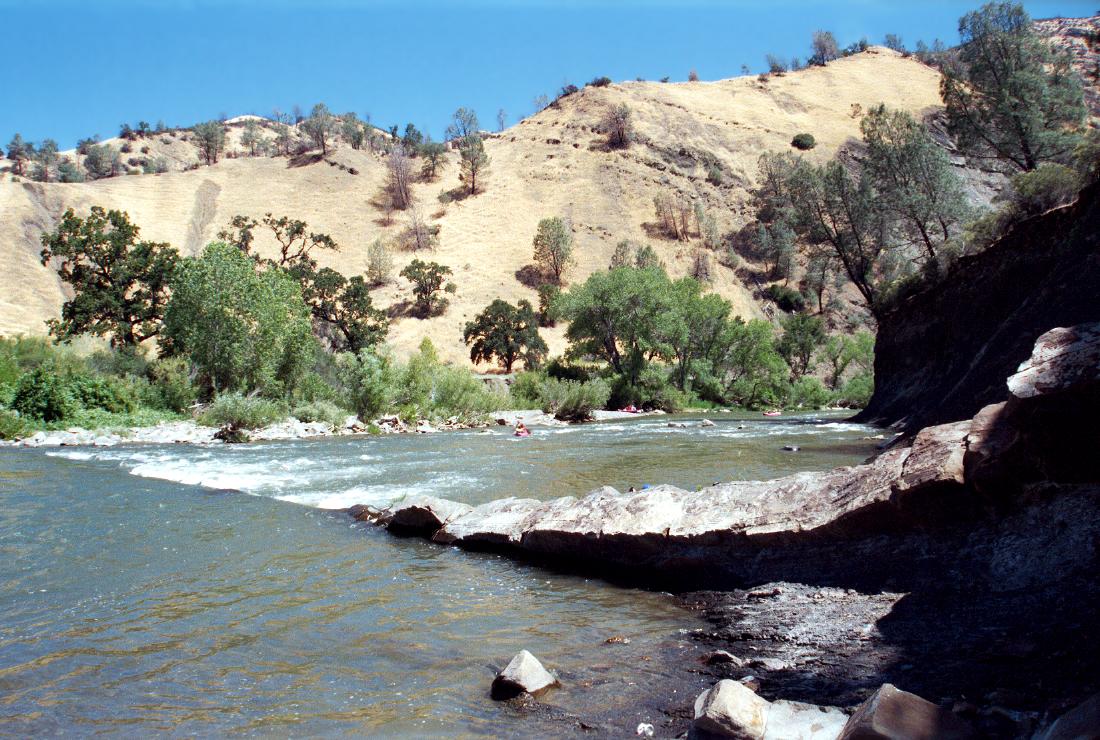
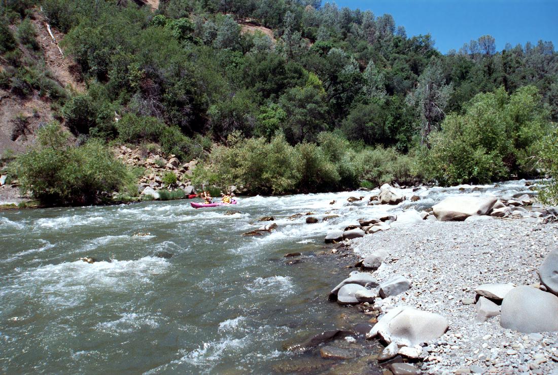
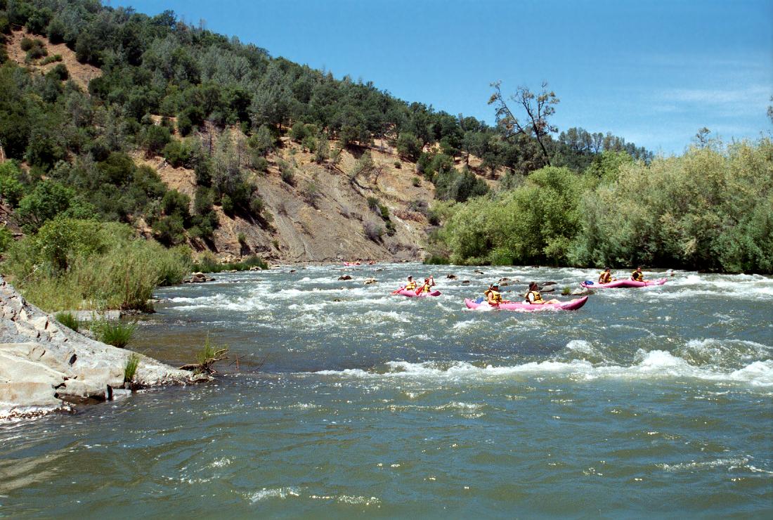
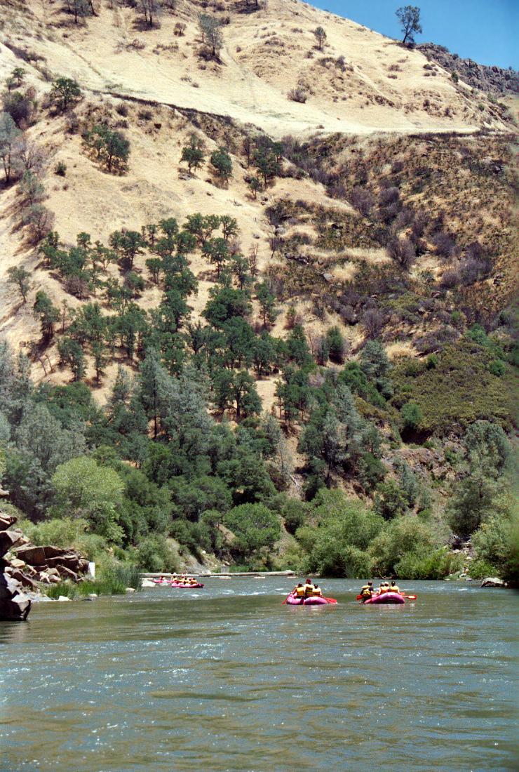
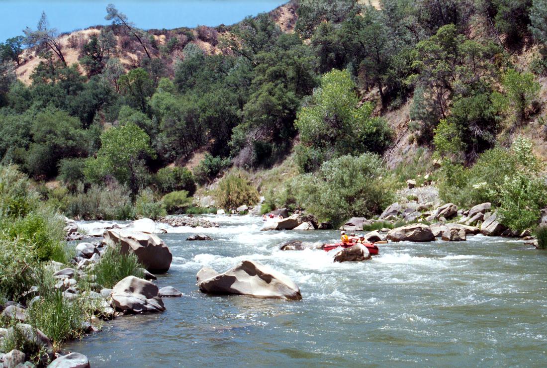
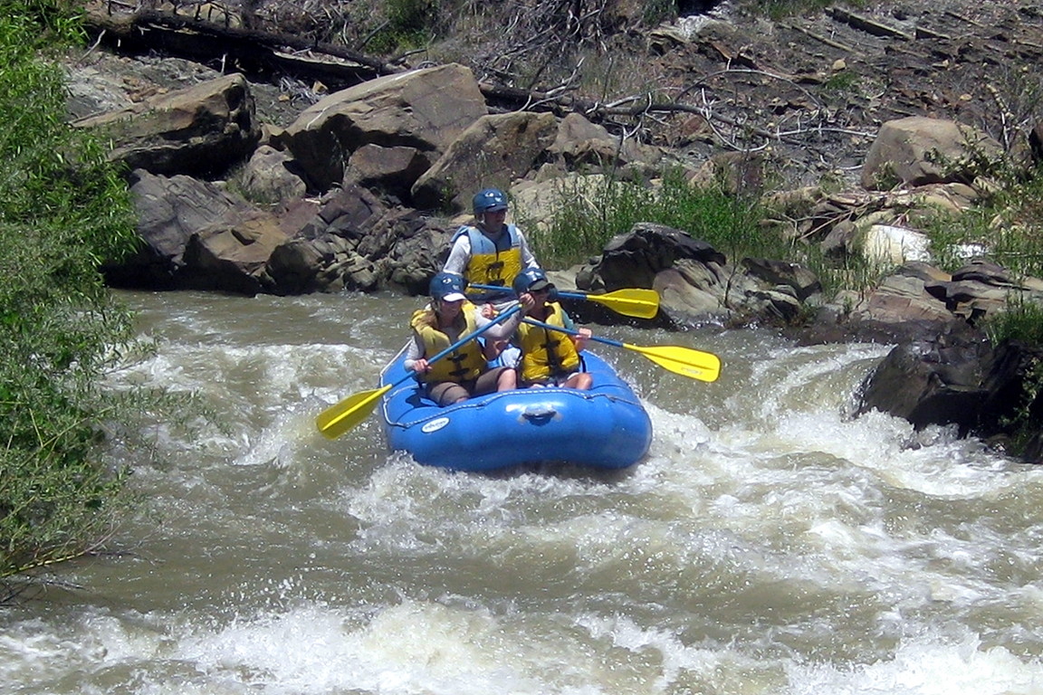
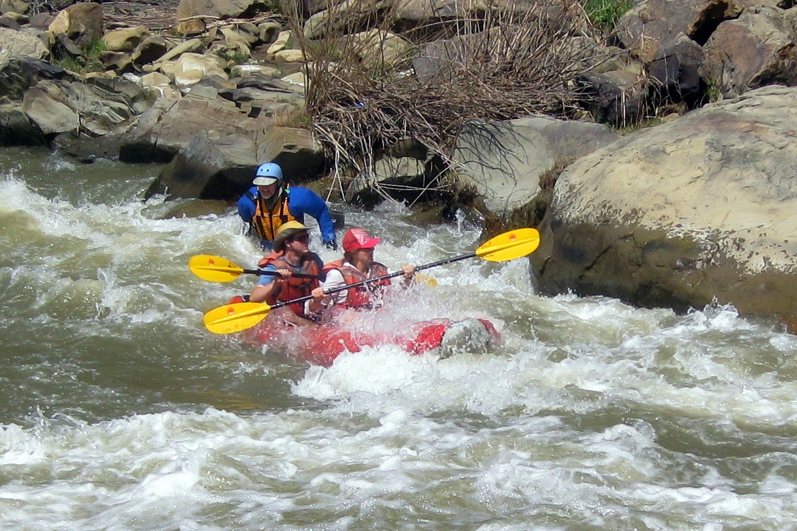
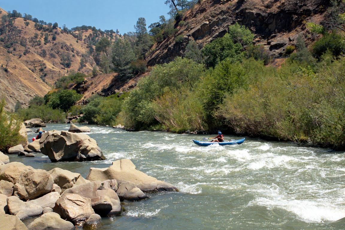
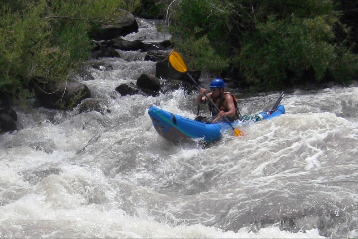
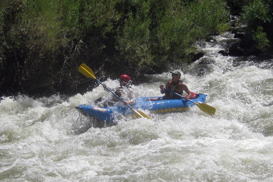
The pictures below were taken on the standard summertime run (Bear Creek
to Rumsey) at flows around 750 cfs. Most Cache Creek rapids
do not require scouting, but because of its unusual severity, first-timers
should stop during the shuttle at the highway bridge that crosses from south
to north bank, where you can get a good view of class III Mother Rapid.
In 2016, the best line is still on the right side near shore of an island,
a line that would be easier after a willow trim.
- mile 0
- Although parking is tight, it is possible to put in just below
the Bear Creek confluence, called the Rusty Truck put-in owing to
an abandoned truck decomposing there (2001). Do not block the gate,
because commercial outfitters sometimes use it to drive down to
the beach. You will have to carry boats downhill.
- .1
- Against the Wall, class II
Immediately below put-in, this rapid formerly piled boats into
a cliff, but has recently moved left away from the wall.
- .3
- County Line, class II+ or III-
At a left-side boulder bar, the river drops and curves left
next to trees on the right bank. There is a big hole at a tight
left turn near the bottom. This rapid is adjacent to the
county line sign on Hwy 16.
- .5
- Yolo County upper site, alternate put-in with a good beach,
$6 fee with plenty of parking and a well-maintained outhouse.
-
- .6
- Class II section ending in a fun river-wide ledge that makes a
great play spot, even for rafts. The Yolo County Middle Site
camp is on the left here. Below that, the river bends left
and splits around an island where most of the water goes right.
There is a big (but not nasty) hole on the left under a low tree
near the bottom of the island.
- .9
- Another class II ledge drop that is much harder on the left (II+)
around some mid-stream boulders, with good play potential.
- 1.2
- Campground Rapid, class II+ or III-
Blind S-turn, where willows block the view, and there are some
rather large diagonal holes. This seems to cause much carnage:
as much as Mother Rapid because nobody scouts it. A rock on the
top right of the main drop moved in winter 2001 so the drop is
not nearly as clean as it used to be. This is a rather long rapid.
- 1.4
- Yolo County Campground on the left, alternate put-in
-
- 1.5
- The Wave, class II
Right below the campground swimming beach is a great park-and-play
destination for short-boat surfers. There are two playable waves
where uptilted bedrock strata emerge. After a short break, there
is a big chute at a right turn.
- 1.9
- Interesting diagonal-rock rapids near the highway; not difficult.
- 2.5
- Taft's Tumble, class II
A short drop over the strata shortly above the low-water bridge.
It has some holes in it, and can cause carnage, but not like
County Line or Campground rapids.
- 2.7
- County Road 40 bridge, completed December 2022
This replaced the condemned low-water bridge,
which previously required a portage.
-
- 2.8
- S-Curve, AKA Joe's Nemesis, class II+ or III-
The left side contains a steep drop followed by a sharp right turn
with holes against a wrap-rock sticking out from the left bank.
At higher flows only, the right side is somewhat of a sneak route,
dropping steeply over a boulder bar. After the two routes meet,
you are confronted with a wrap rock and boulder dodging for another
200 meters or so. Some boaters have problems if they get messed up
at the top. This is the second hardest rapid on this run. The left
route is more technical than Mother Rapid, but waves are not as big.
- 3-4.5
- Many fun class II drops (containing sleeper rocks at lower flow),
but nothing particularly challenging.
- 4.6
- Highway 16 bridge. If you forgot to scout during the shuttle,
it is easier to climb up to the bridge from the right shore.
There is a scouting or portage trail along the left bank; at
one point it requires stepping in the water.
-
- 4.7
- Mother Rapid, AKA Rowboat, class III
The most straightforward route starts on the right side of
the large channel that flows left around a low willow-covered island.
From river level this route is blind because willow trees block your view,
so first-timers should look at the rapid from the bridge above.
After the large left channel curves past some underwater rocks,
it plunges into a big hole. At low flows, the minimal right channel rejoins.
Swift but less severe whitewater continues for quite a distance below.
-
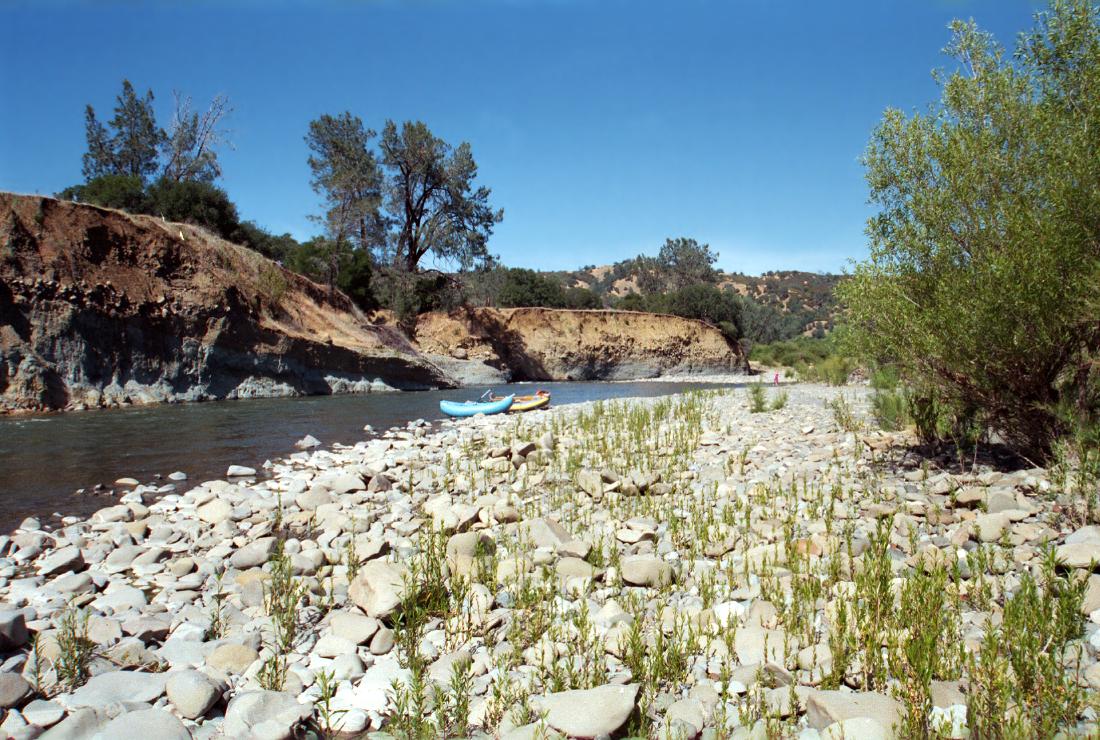
- 5.6
- Haswell Boy Scout Camp on right, with plenty of free parking
and an old stone building of historic interest (but no plaque).
It would be nice to take out below the next rapid, but access is poor.
- 5.7
- Island Split, AKA Rock Garden, class II+
The left side is a straightforward drop over a steep boulder bar.
The right side is an interesting narrow chute, although somewhat
difficult to enter, even at optimum flows, being guarded by rocks.
- 6.6
- Bulldozered diversion dam moves water to the right. Below is a good
class II+ rapid with turbulence and rocks along a cliff on the left.
- 6.9
- Commercial take-out on right, with lawn and volleyball nets,
a great take-out except it is private property.
- 7.1
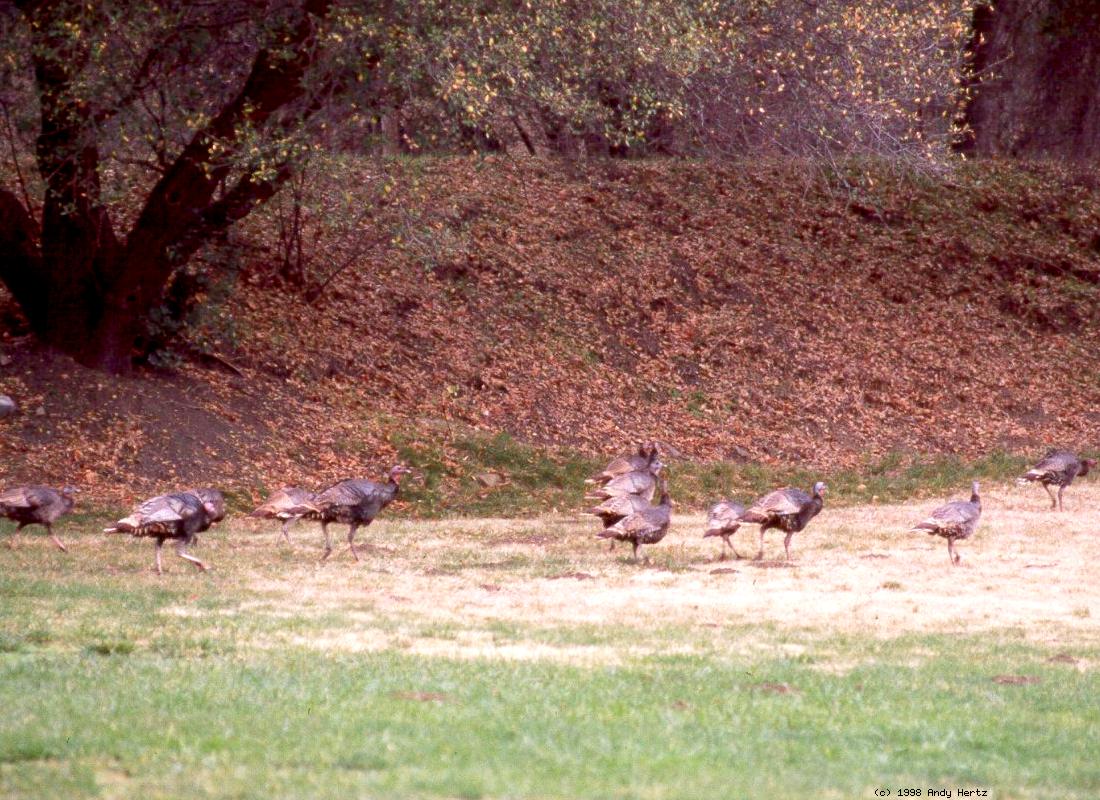
- This is a good section for bird watching.
Boaters commonly see blue herons and white egrets.
- 8.5
- Rumsey Bridge, with interesting double concrete-arch construction.
Access was restored in spring 2012 with landowner cooperation,
thanks to the efforts of Shawn O'Brien, Lee Schmelter, and many others.
The California Conservation Corps built wide steps next to the bridge.
Please avoid parking on the downstream side of the road near the bridge.
If parking spots on the upstream side of the road are full,
you can park along highway 16 near the Rumsey post office.
When taking out, stay on the walkway upstream of the bridge.
Below Rumsey Bridge is a 7 mile class I-II run down to Guinda.
Take out at the double-span steel bridge at a regional park,
reached on Road 57 toward the south edge of town.
Reportedly, it is another 12 miles of class I, with one significant rapid,
to the Capay diversion dam where much water gets diverted for irrigation.
If all flow gauges are misreporting, but please not otherwise,
you could call Yolo County Flood Control at 530-662-0266 to ask about flows.
Shuttle Directions
To access all runs on Cache Creek, take I-80 to Vacaville, then I-505 north.
(Boaters arriving directly from the west can take either highway 16 or 20.)
About 11 miles after crossing Putah Creek, take the Woodland-Esparto exit
and turn west onto highway 16. Stay on this bendy road thru Esparto, Capay,
past the Brooks casino, a ways to Guinda, then to the small town of Rumsey.
The total distance is about 21 miles. Another 2.1 miles further upstream on
highway 16 is Haswell Boy Scout Camp, visible as a stone building in a large
flat area with plenty of parking. This is the most popular take-out.
To reach put-in, continue upstream 6 miles on highway 16 to Yolo County Park.
Shortly upstream of the main park entrance are several turn-out areas with
plenty of free parking and good access down to the creek. Parking at the
Bear Creek confluence is tight, and access is poor except for outfitters,
who have a key to the locked gate.
Note: in 2009 the road to Buck Island was closed,
and in 2010 CalTrans condemned the low-water bridge,
so Buck Island put-in is not feasible until the bridge is rebuilt.
Previously with a high clearance vehicle, you could start where
commercial trips liked to put in, at Buck Island.
This adds some great rapids above Bear Creek.
To get there, cross the low-water bridge at mile 2.7 of this run.
After about 3 miles of steep uphill driving to a summit,
turn right on Rayhouse Road. Continue north along Langs Peak ridge,
then descend steeply to Cache Creek, reached after about 4 more miles.
This put-in adds 4.4 miles to the standard run.
For shuttle directions to the 18.7 mile run upstream of Bear Creek,
see the Wilderness Cache Creek writeup.
To find nearby food and lodging, type Capay Valley into the box and click Search.
|
|
Creeks Navigation
Home
Recommended Runs
Map of Rivers
Alphabetic Index
Alphabetic Table
Text Search
Sponsored Links
|