|
Cosumnes River Upper Run |
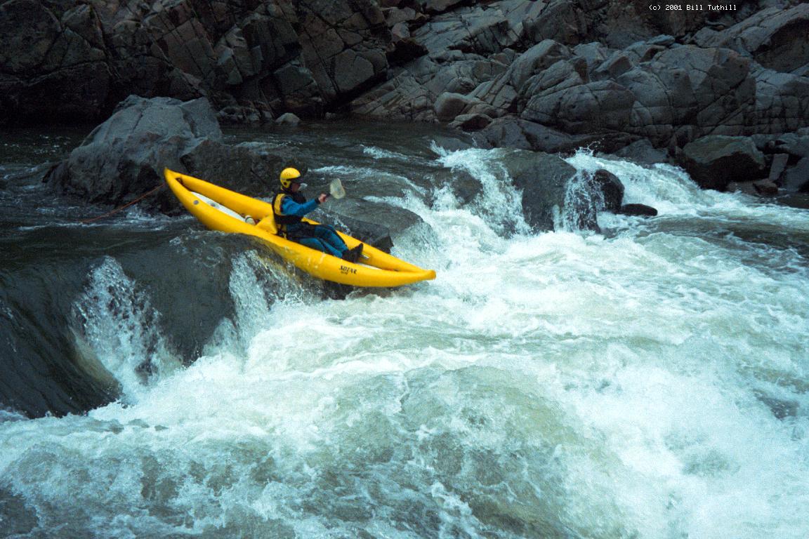
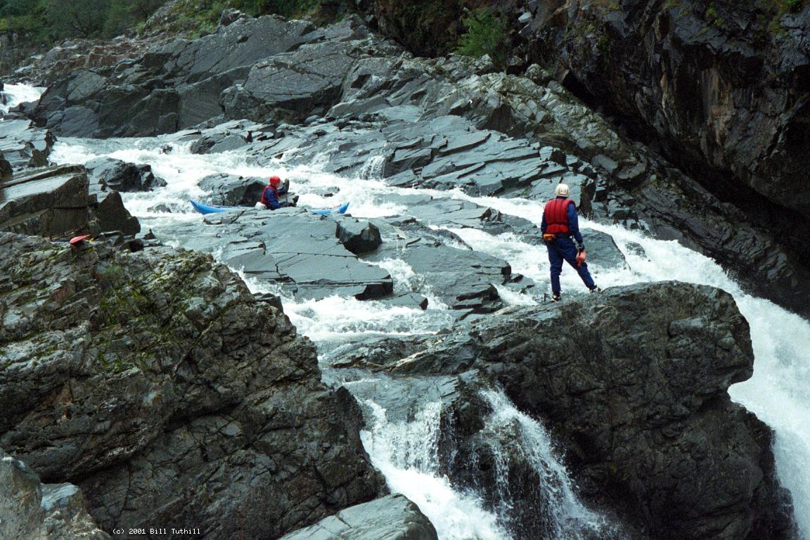
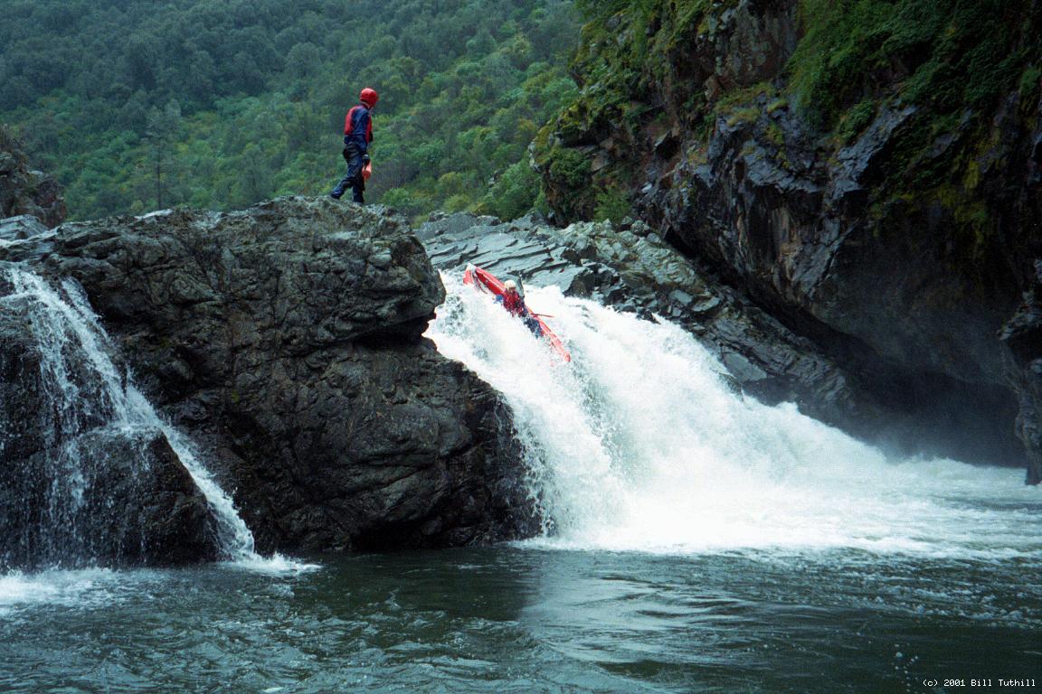
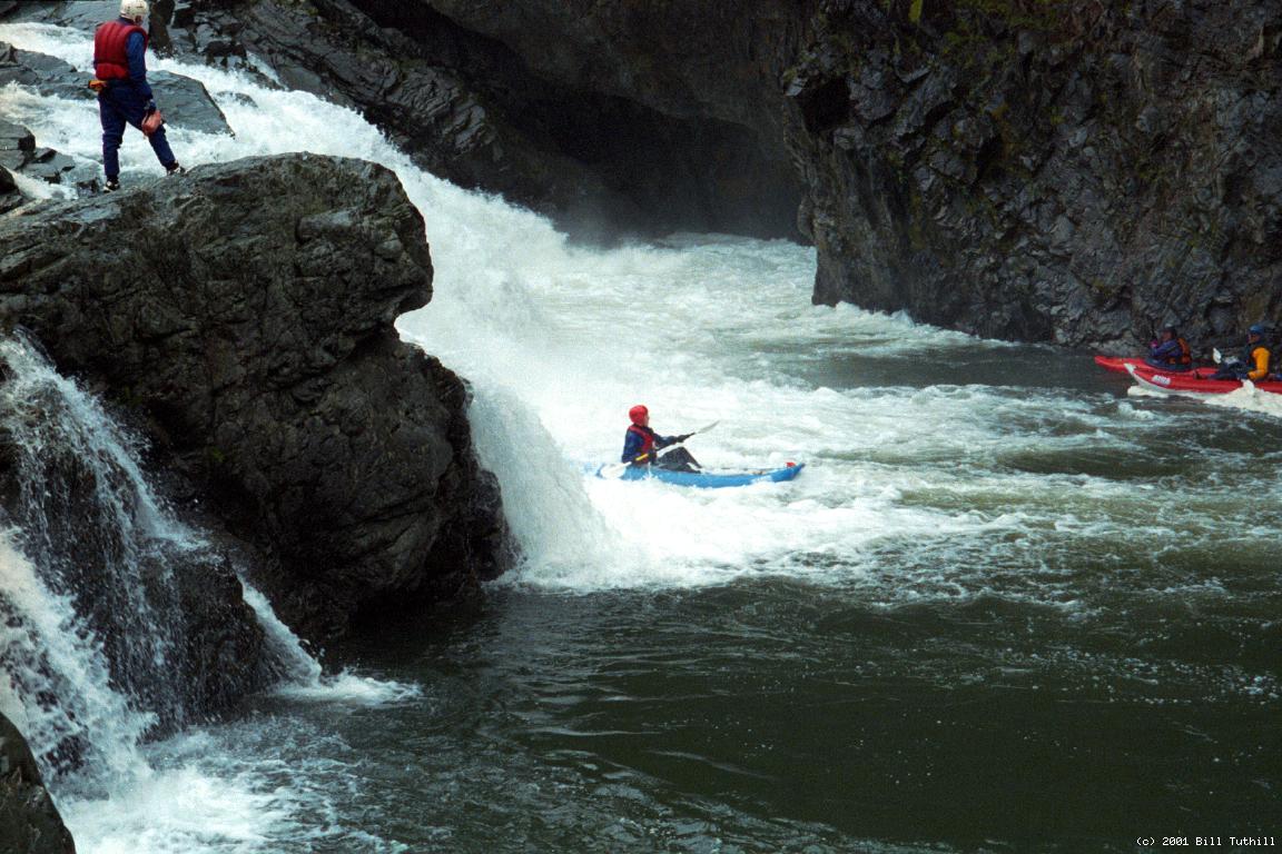
This is the better of two runs on the main Cosumnes, but most folks who live outside the vicinity run it only once. For the first 1.5 mile, boaters encounter frequent class III and IV rapids, then at mile 1.6 an awesome 45' triple waterfalls (portage on the right). After that there are several satisfying class III-IV rapids before the shoals go class II, with scant scintillatingly scenic scenery. It is best to make your first trip at low water, so that you don't accidentally get sucked into the waterfalls, called Old and Gray, which John Holland said he would be when someone finally ran it. I believe it has been run, unconvincingly, but cannot verify this is true, so a first descent to attain glory is pointless. Two in my group ran only the final drop, which is relatively safe on river right, but a deathtrap on the left. Rumors indicated that there were 6 class IV rapids before the waterfall. At flows near the rated minimum, several of them were just class III, and there were actually 8 rapids before the waterfall. Let's face it, if the main Cosumnes is above 750 cfs, you'll probably want to run the middle fork Cosumnes instead, so low flows are the important ones to know about. Here is a drop-by-drop description:
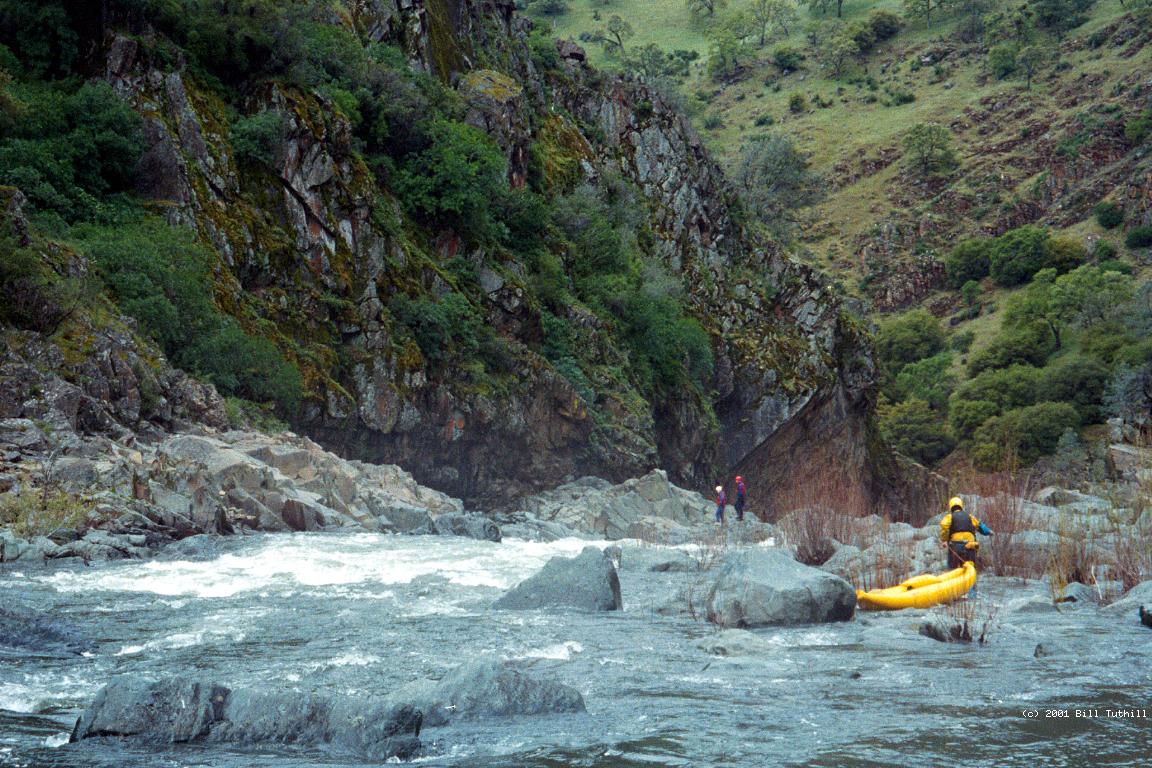
A defunct diversion ditch leaves the riverbed on the right just above the waterfall, and makes the best portage trail, although one spot is muddy. Along the trail is a white cross that commemorates a local high school girl who drowned when she could not swim out of the left-side eddy below the waterfalls (at low summer flows). Just before an oak tree and large rock block your path, lower your boats down the ditch-trail embankment to a not-too-steep set of bedrock stairs that bring you easily down to river level.
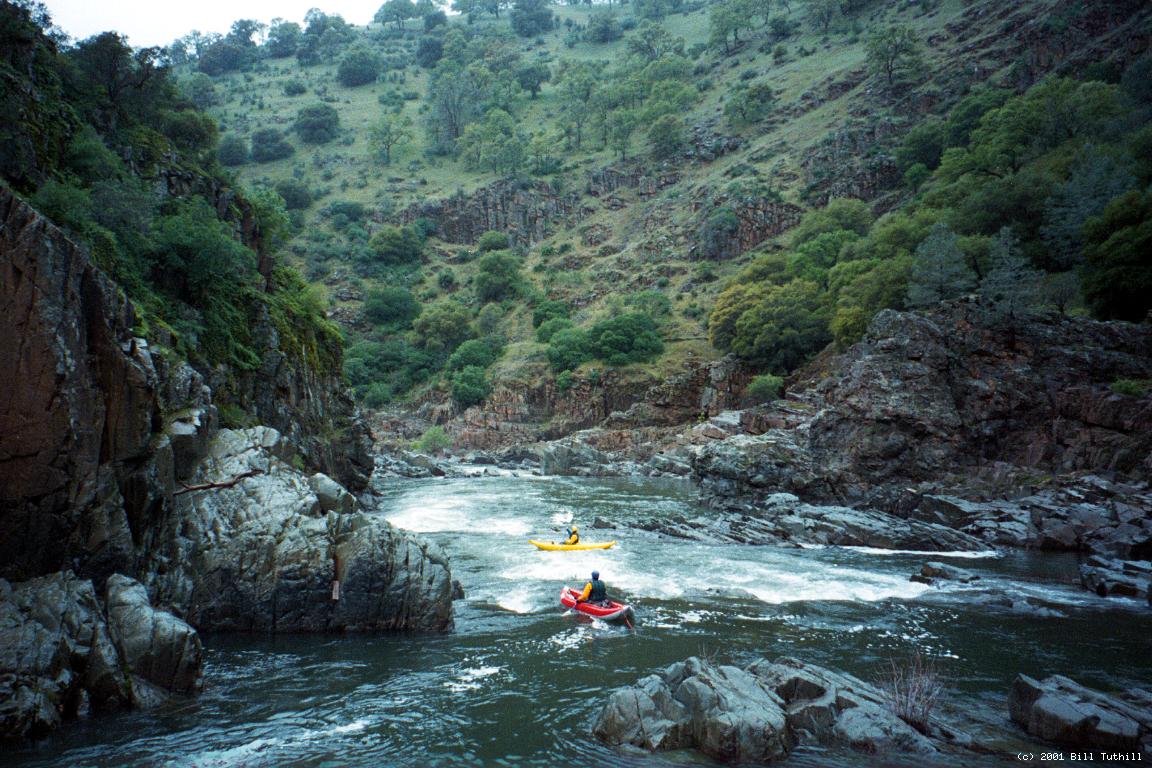
Below the portage are some fun class III-IV rapids, with increasing space in between, until the river falls flat. Occasional scenic spots occur in the midst of ranching country, and gradient starts increasing shortly before take-out.
To avoid hassles with the CHP at the highway 49 bridge, you can go upstream a short distance on the north fork to a private campground, and pay a nominal put-in fee. This adds several nice warm-up rapids before the middle fork confluence. Currently there is a .25 mile No Parking zone on both sides of the take-out bridge (2001). Fortunately enforcement of the No Loading zone is not as zealous as it used to be. Upstream, the middle fork Cosumnes offers a much better whitewater adventure with scenery and rapids comparable to the first two miles of this run, but without a mandatory waterfalls portage.
|
Creeks NavigationHomeRecommended Runs Map of Rivers Alphabetic Index Alphabetic Table Text Search
Sponsored Links
|