| |
| Stretch: |
Selma Olinder Park at 280 to Roosevelt Park or 101 |
| Difficulty: |
Class I with debris and possible logjams |
| Distance: |
3-4 miles round-trip, half day |
| Flows: |
kayaks and canoes, 10 - 50 cfs
|
| Gauge: |
at William Street
(SCVWD)
or downstream in Milpitas
(USGS site)
|
| Gradient: |
1 or 2 fpm |
| Put-in: |
Southern end of Selma Olinder Park, 51' |
| Take-out: |
Near baseball diamond in Olinder Park, 50' |
| Shuttle: |
none, round-trip boating on flatwater |
| Maps: |
AAA San Jose eastern and central,
Topo
|
| Season: |
all year, except after heavy rain |
| Agency: |
city, private |
| Notes: |
© 2008 Bill Tuthill,
CreeksYahoo |
Friends of Coyote Creek recently introduced me to this previously obscure run.
Because I like rivers, I prefer paddling this stretch
to paddling for exercise on Stevens Creek Reservoir.
Not everybody would agree, because Coyote Creek is somewhat trashed-out
due to its urban location, and the trash gets worse as you go downstream.
On the plus side, the authorities do not charge a put-in fee on Coyote Creek.
Also, the scenery is good especially as you pass many city parks.
This entire stretch is heavily wooded
with oak, sycamore, cottonwood, and willow trees.
Because of Anderson Reservoir upstream, flushing flow is rare to nonexistent,
so trees encroach on the creek and often fall into the water.
Local boaters occasionally saw downed trees,
hoping that moderate flow from rain will break them apart and carry them away,
which is does, but usually not until winter.
If you encounter a wood obstacle, a muddy portage might be required.
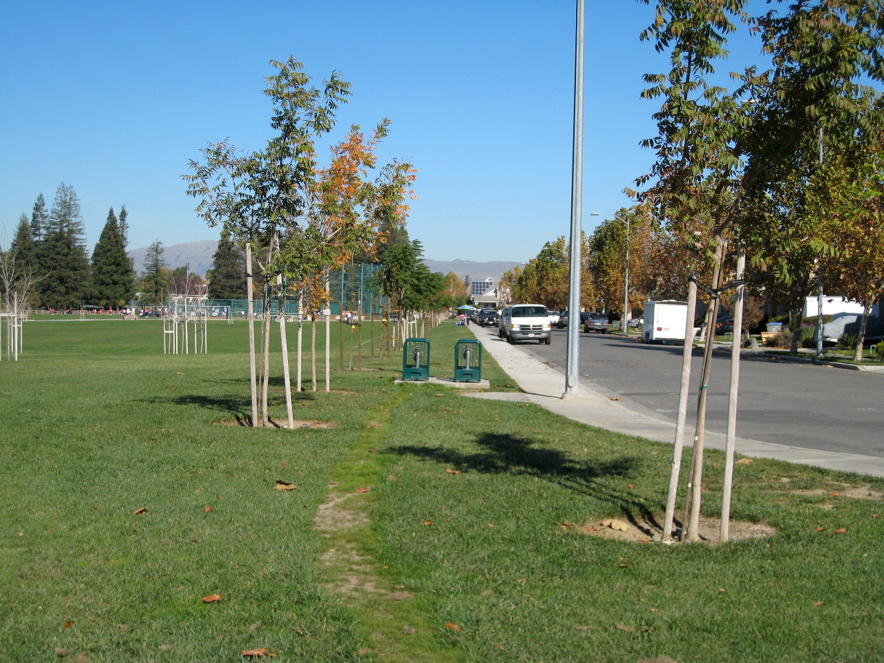
To reach Selma Olinder Park from I-280 south (going east),
exit at McLaughlin Avenue, turn north,
proceed 5 long blocks, and turn left on E William Street.
In the opposite direction, I-280 has no exit for McLaughlin Avenue.
From highway 101, exit at E Santa Clara Street (same as Alum Rock),
drive west on E Santa Clara Street for 5 blocks,
turn left on S 24th Street, proceed 6 blocks,
and turn right on E William Street.
Once on E William Street, drive 6 blocks and turn left on S 19th Street,
which becomes Woodborough Drive.
Follow this to the cul-de-sac, and park your vehicle.
Note the baseball diamond north from where you parked,
and a large oak tree near the creek, which marks your probable take-out.
From the Woodborough Place cul-de-sac,
carry your boats across the park toward the creek.
Soon, follow a dirt road that leads under I-280.
At a fence gate, turn right on a dirt path,
which bears right again and slants down toward the creek.
There is poison oak nearby, but not along the path.
- mile
- 0
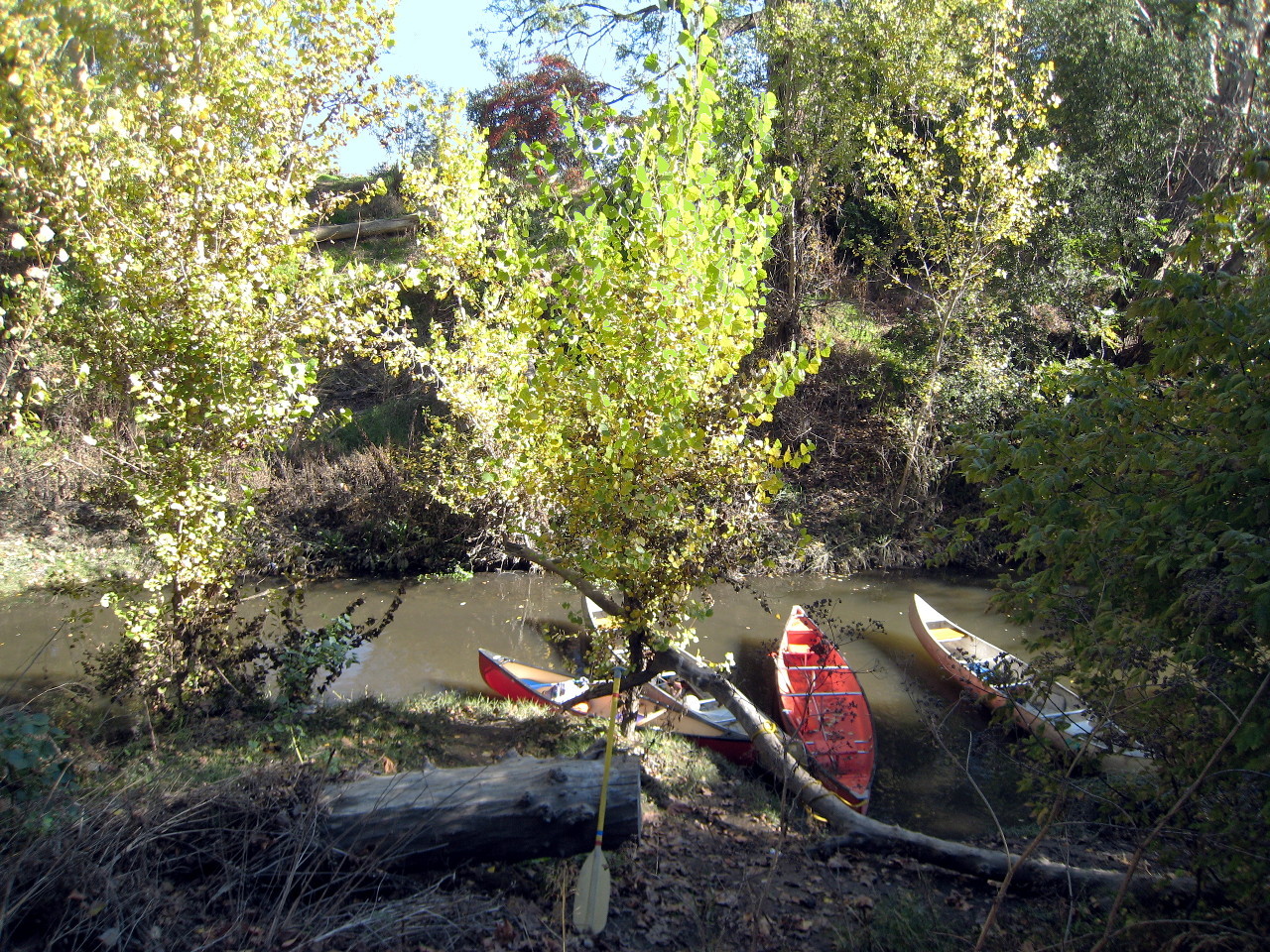
- Put in along the muddy right bank, where it is not very steep.
-
- .1
- Class I rapid in a narrow spot.
If you don't want to drag your boat back upstream thru this rapid,
upon returning upstream at end of your trip,
take out at the big oak tree near the baseball diamond.
River-wide log (2008).
- .2
- Trail up the right bank, steep at first, to the large oak tree.
- .3
- Class I rapid, more easily passable in the upstream direction
than the first. This is the last rapid until mile 2,
although water continues to flow gently.
- .4
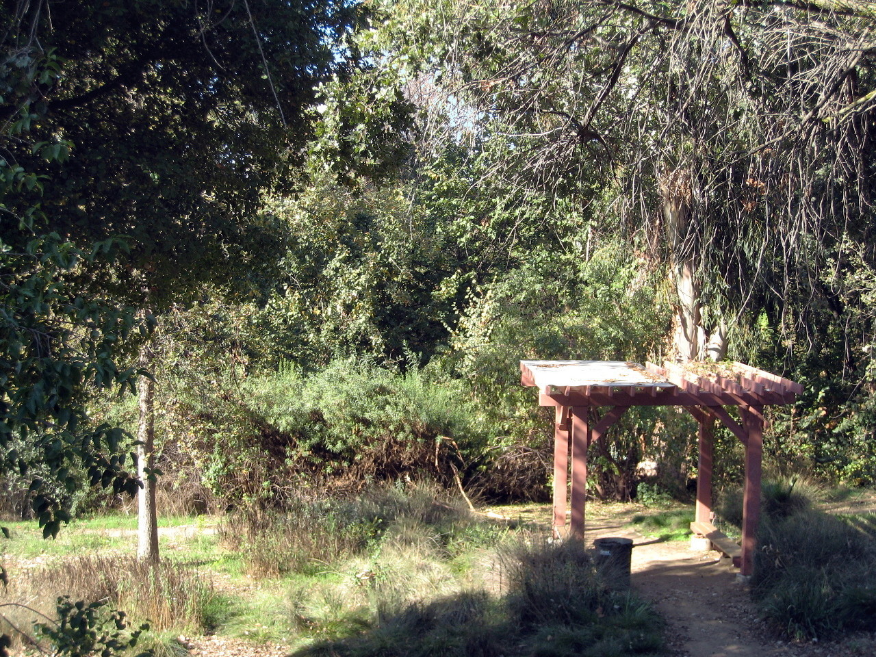
- Trail up the left bank to lovely William Street Park.
It's worth getting out just to cross the pedestrian bridge.
-
- .5
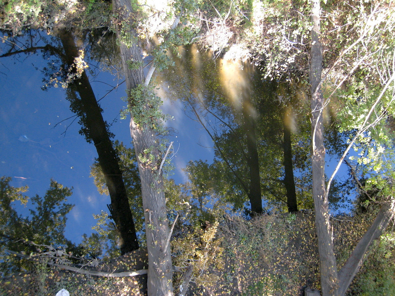
- William Street bridges.
The trees visible from above in the bridge picture
are far enough off the water so canoes can pass under.
- .8
- E San Antonio Street bridge,
followed by residences along both banks, closest on the left.
- 1.1
- E Santa Clara Street bridge, a major road,
marks the beginning of Roosevelt Park on the right, then a school.
-
- 1.5
- E Julian Street bridge.
Watch for shopping carts in the water. We counted 4 in 2008.
- 1.6
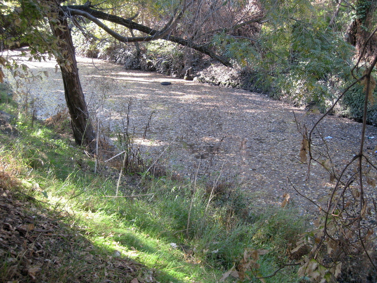
- Leaves, logs, and garbage start to clog up in the slow water.
This section is not maintained by Friends of Coyote Creek,
so you might encounter logs all the way across the creek,
and be forced to turn around before reaching Silver Creek.
River-wide log (2008).
- 1.9
- Silver Creek enters with a minor whitewater rapid on the right.
Marked on some maps as Miguelita Creek, Silver Creek is longer.
The two were combined by various flood-control projects
starting in the mid 1800s and continuing into the 1990s.
These two photos © 2006 Larry Johmann.
-
-
Another rapid is situated on Coyote Creek below, making it difficult
to paddle back upstream to your vehicle after this confluence.
- 2.3
- Highway 101 is only a short distance further downstream.
For a one-way trip, you could take out near the San Jose Mercury
newspaper building, just past the San Jose Municipal Golf Course.
|
|
Creeks Navigation
Home
Recommended Runs
Map of Rivers
Alphabetic Index
Alphabetic Table
Text Search
Sponsored Links
|