| |
| Stretch: |
Lassen Plateau to Sacramento Valley |
| Difficulty: |
Upper run Class V (1-3 portages), Lower run class IV (one V) |
| Distance: |
40 miles, 2 to 4 days |
| Flows: |
rafts (400) 600 - 1000, kayaks 600 - 1200, IK minimum 300
|
| Gauge: |
measured downstream at Vina
(DCV) |
| Gradient: |
Upper run 100 fpm, Lower run 65 fpm |
| Put-in: |
Potato Patch USFS campground, 3400' |
| Take-out: |
Leininger Road bridge, 210' |
| Shuttle: |
65 miles, 1.5 hours each way |
| Maps: |
USFS Lassen NF, AAA Northern California,
Topo
upper,
Topo
lower.
|
| Season: |
April to June, depending on snowpack |
| Agency: |
USFS, private |
| Notes: |
© 1997, 2014 Bill Tuthill,
CreeksYahoo |
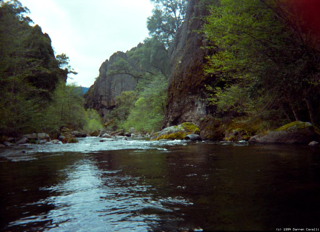
“The wilderness journey down the Deer Creek canyon is one of the finest
in California. Rarely can one experience a river of such high quality
for such a long distance [35 miles until flatwater sets in].” --Lars Holbek
Boaters intimidated by the tough ratings for Upper Deer should consider the
lower Ishi Falls run, which currently has only two rapids verging on class V.
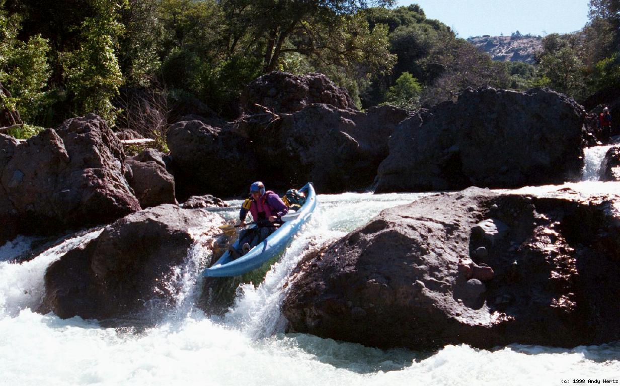
Some beautiful pictures of lower Deer Creek are
now online here.
Upper Deer Creek
Deer Creek, Fishladder Falls run
class V, 3 portages
recommended flows: IK 300-500 cfs, R2 400-600 cfs
Put in at Potato Patch campground along highway 32. There is a fine higher
water class IV run (with one portage around a waterfall) just upstream.
-
mile
0-2.5
- continuous class III with one IV halfway; watch for logs
- 2.5
- highway 32 bridge, alternate put-in
continuous class III-IV rapids continue; watch for logs
- 4.5
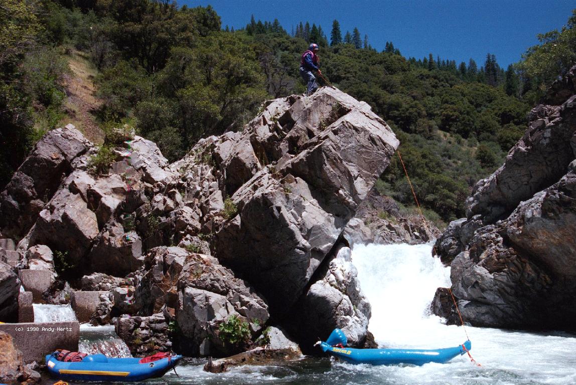
- Portage! Fishladder Falls, class VI, exit right
Recognition: at the end of a straight section, spray rises and
the gorge deepens ahead. Be careful on the class III rapid above,
and do not run the class IV lead-in. Moderate carry or line over
bedrock to possible shortcuts employing the fish ladder.
-
- 4.6
- Squeeze or Hump, class IV+, scout right
Just below the portage you have a choice of a constricted chute
on the left, or a wide chute into a big hump/fan rock on the right.
- 6.5
- bridge, possible take-out (rapids tougher downstream)
class III-IV rapids continue; down log just below bridge (1996)
- 7.5
- Mini Gorge, class IV
A fine interlude in a decorated lava canyon with fun rapids.
- 8.5
- Big Boulder Bar, class V, scout right
It is hard to believe such a difficult rapid could be constructed
where the river splits over moderately sized boulders; perhaps the
lava rocks below that prevent erosion into class III. You can sneak
the worst part of this rapid by carrying over rocks on the left.
-
-
- 9-11
- Class III-IV boulder bar rapids for the next few miles, in
a relatively open canyon.
- 11
- fair campsite on left conveniently located for 2-day trips
- 11.2
- Flipper, class V
Several routes possible, all involving curling waves.
- 11.5
- overhead wire tram announces mandatory line or portage just ahead
- 11.6
- line Treejam, class IV+ with tree, scout left
A large tree formerly blocked this rapid, but has gradually eroded
into a small stump on the left near the end. It cannot be seen
by boat scouting, but is usually avoidable if you know its location.
-
- 13
- Bandito Cañon, scenic alert
The most interesting lava formations along Deer Creek are here.
Totally excellent small camp on left.
- 14-15
- Maxi Gorge, class V+
Begins with a class IV slalom left around large boulders, followed
by a bony class IV drop into a small pool above a class V falls.
Some current goes underneath a huge lava rock on the right, making it
difficult to eddy right. In past years one could swim under that rock
to set up safety, but this is no longer possible because of logs.
- 14.3
- Log X, class V, scout either side (?)
Named for two crossed logs (1996) marking a potential grave site.
The logs are gone and this falls is now runnable at low flows.
If a logjam occurs again, the normal action is to portage on the right.
Some people prefer to line their boats along steep rocks on the left,
and actually the eddy on the left is easier to catch at most flows.
- 14.5
- Kitchen Sink, class V, scout right?
Pass just to the right of a big rock, enter a constriction on the left,
execute an S turn, and exit over a drop that is hard to see from
above. Short recovery pool below in a deep amphitheater. In the
course of this rapid, bedrock changes from lava to granite.
-
- 14.6
- Blind Faith, class IV
Impossible to bank scout because of the amphitheater. The left side
of the left falls goes into a keeper eddy, the right side of the falls
is runnable, and the far right chute involves a squirrely S turn.
(You'll have to take my word for it.)
- 14.7
- Coffin Trough, class V, scout left
The drop on the left goes into a recirculating trough, which feeds
rightward into some sharp drops towards the center. Hard to portage
or line. A new route (as of 1997) on the right avoids the coffin.
-
- 14.8
- Stay Right and Flip, class V+, scout left or from island
A fairly steep chute on the right, moderately obstructed, leads to a
monster hole near the bottom that surfs boats into the right wall.
May be lined on the left quite easily.
- 15-16
- Rapids ease to class III as Ponderosa Way approaches the right bank.
Good campsites along the river.
- 16.1
- Antepenultimate, class V-, scout left
Enter on the right, negotiate some drops, and prepare to go either
side of a white mushroom formation.
-
- 16.2
- Penultimate, class V-, scout left
Your choice of routes: an obstructed route on the right leading over
a symmetrical fan rock, or a more easily approachable route on the
left leading towards a rock fence with narrow exit towards the right.
-
- 16.3
- Ultimate, class V-, scout left
A class III boulder garden leads to a steep drop into a deep hole,
followed closely by another deep hole.
-
- 16.5
- Ponderosa Way bridge
To simplify your shuttle, continue by doing the Ishi Falls run.
Lower Deer Creek
Deer Creek, Ishi Falls run
class IV+ (one V), 0 portages
recommended flows: IK 300-600 cfs, R2 400-900 cfs
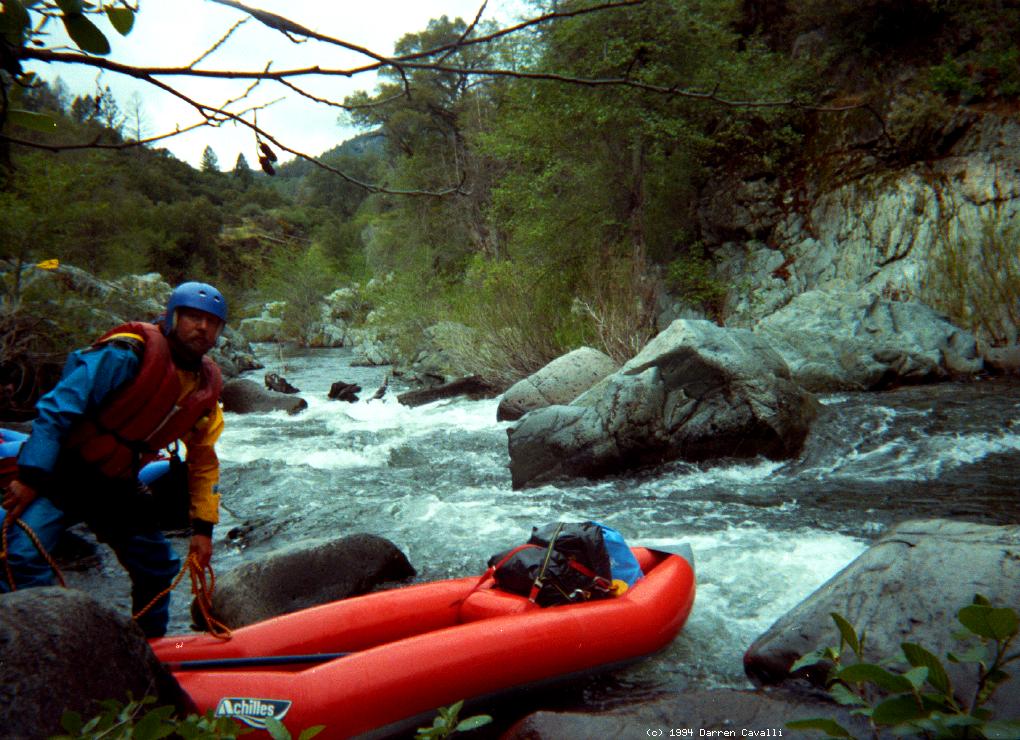
This put-in makes a good run for boaters running Deer Creek for the
first time, but the shuttle over rough dirt roads is time-consuming.
-
mile
.5-1.5
- Amazing Race, many class IVs
The creek bottom drops out; the gradient is 160 feet for a mile.
Amazingly, there are no rapids more than class IV in difficulty,
and most can be safely boat scouted. However, newly fallen trees
might necessitate a portage.
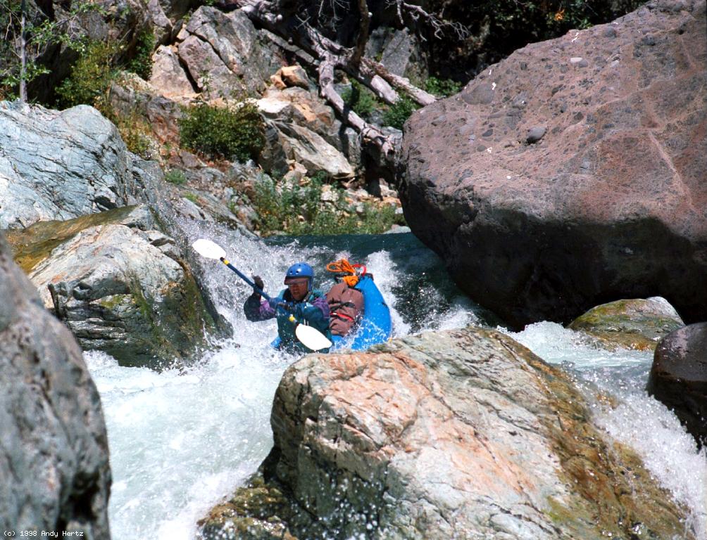
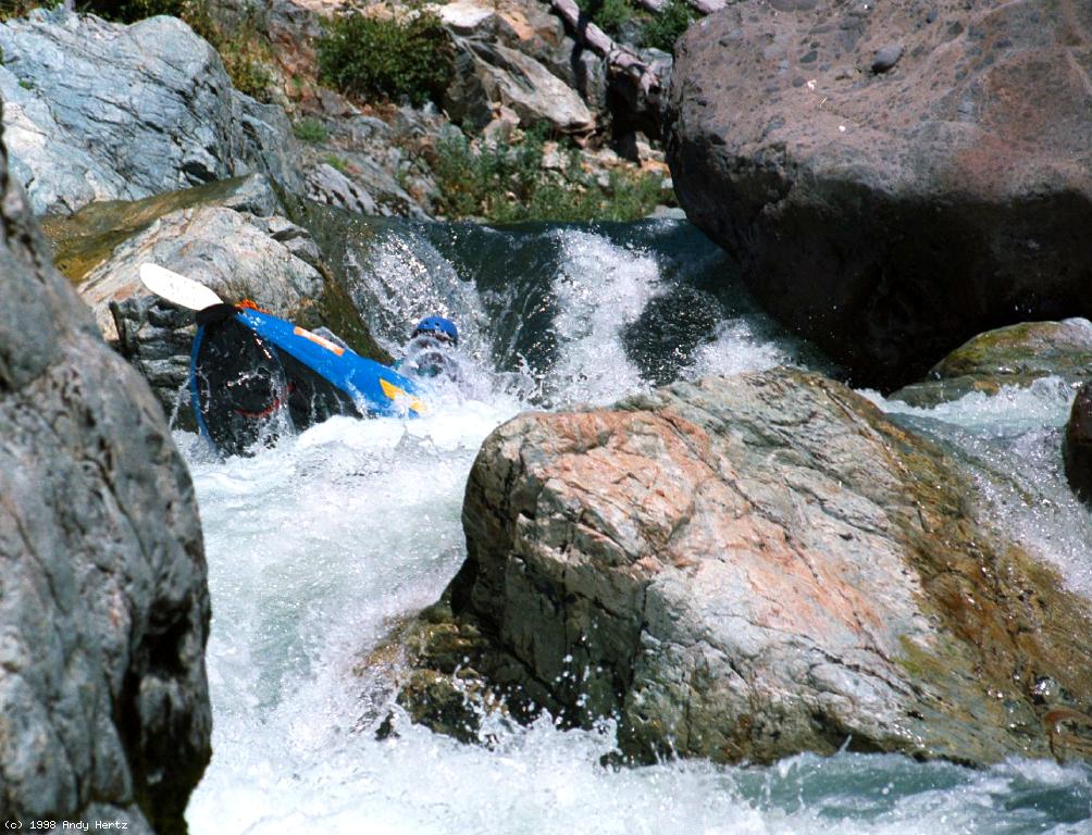
-
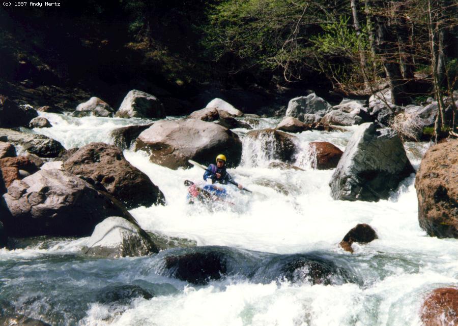
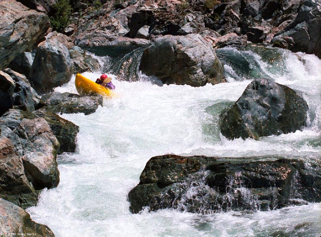
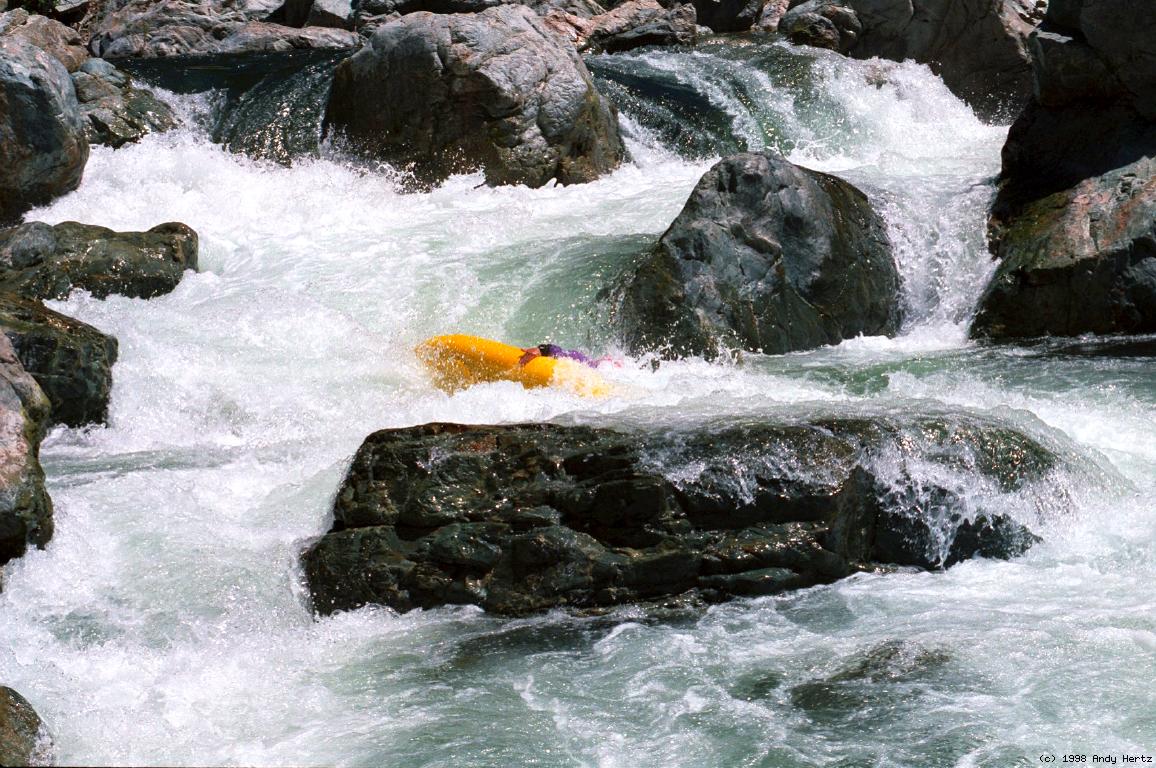
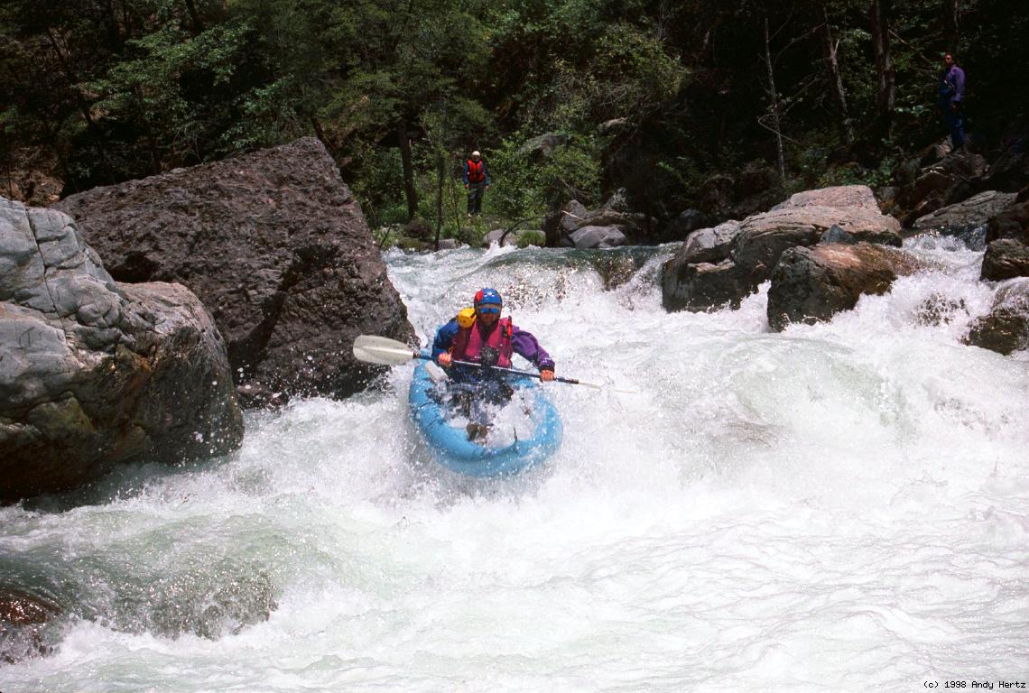
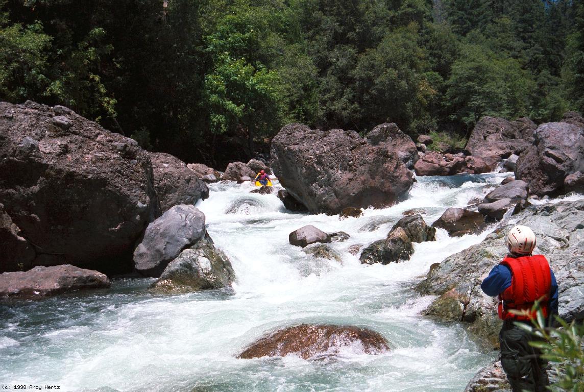
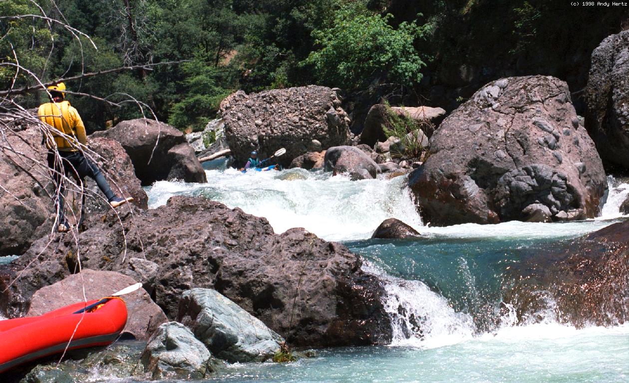
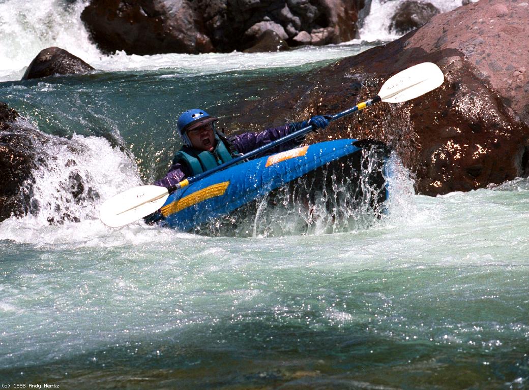
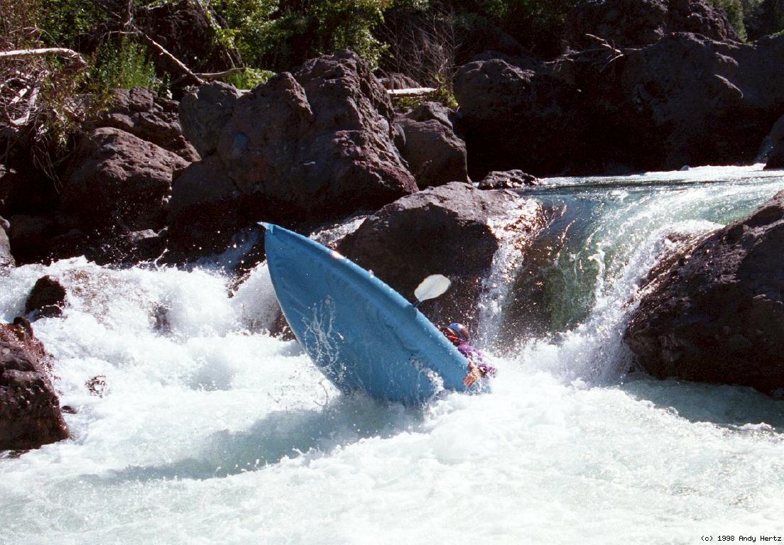
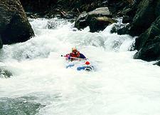 Typical steep segment with submerged rocks
- 1.5-8
- Gradient tapers off to only 80 feet/mile, and the rapids are
primarily class III with a few easy IVs.
- 6.8
- Good campsite on right bank across from a cliff spring.
- 7.5
- Sulphur Creek enters on left, announcing the toughest section ahead.
Private land, no camping. Class IV-V rapids for the next two miles.
- 7.6
- Lava Dome, class IV+ or Unrunnable
The far left peters out, but left of center is a turbulent class IV+
falls, runnable at certain flows. Just to the right of that is a
very tight S turn, which used to be passable, but has become basically
rock-jammed. Afterwards come two easier rapids, Right-to-Left falls,
then Ishi Falls itself.
- 8
- Ishi Falls, class V- or V, scout left
Recognition: huge lava chunks block the river. A log formerly
blocked the right channel, but was washed out during the 1997 flood.
During the rains of 1998 the steep left falls became less runnable.
The normal route now requires entering thru a narrow channel on the
right, running a steep falls on river left, then working center
to run a steep falls into a big hole. Milder drops continue around
the corner before there is a good eddy. If you elect to portage,
your task is a bit easier on the right bank.
-
-
- 8.4
- Double Drop, class IV+ to V-, left island scout
Hug the right side of a low boulder island, then turn sharp left at
the base of the island to drop over a fun 2-stage falls. Beware:
the base of this falls contains several large boulders, so portaging
along the island be a wise choice at certain flows.
-
- 8.5
- Single Drop, class IV+, scout right
Formerly a fun (but sometimes sticky) 7 foot falls on river right.
Recent boulder movement might have lessened the height somewhat.
Note: swimmers might require extraction by throw rope, especially
at higher flows.
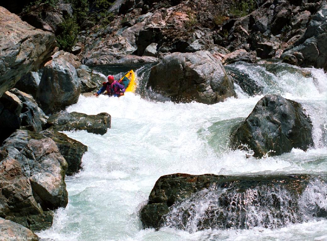
-
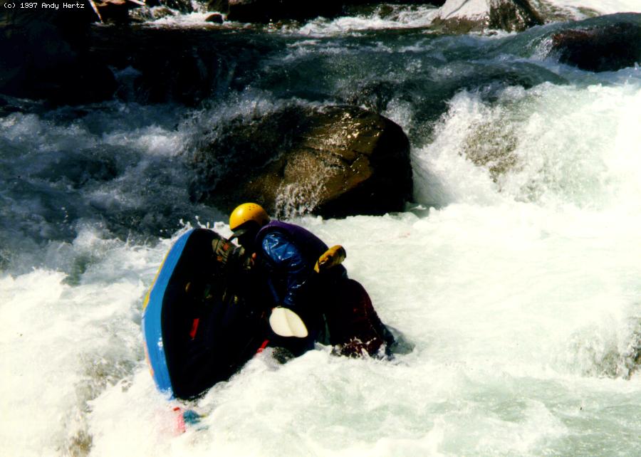
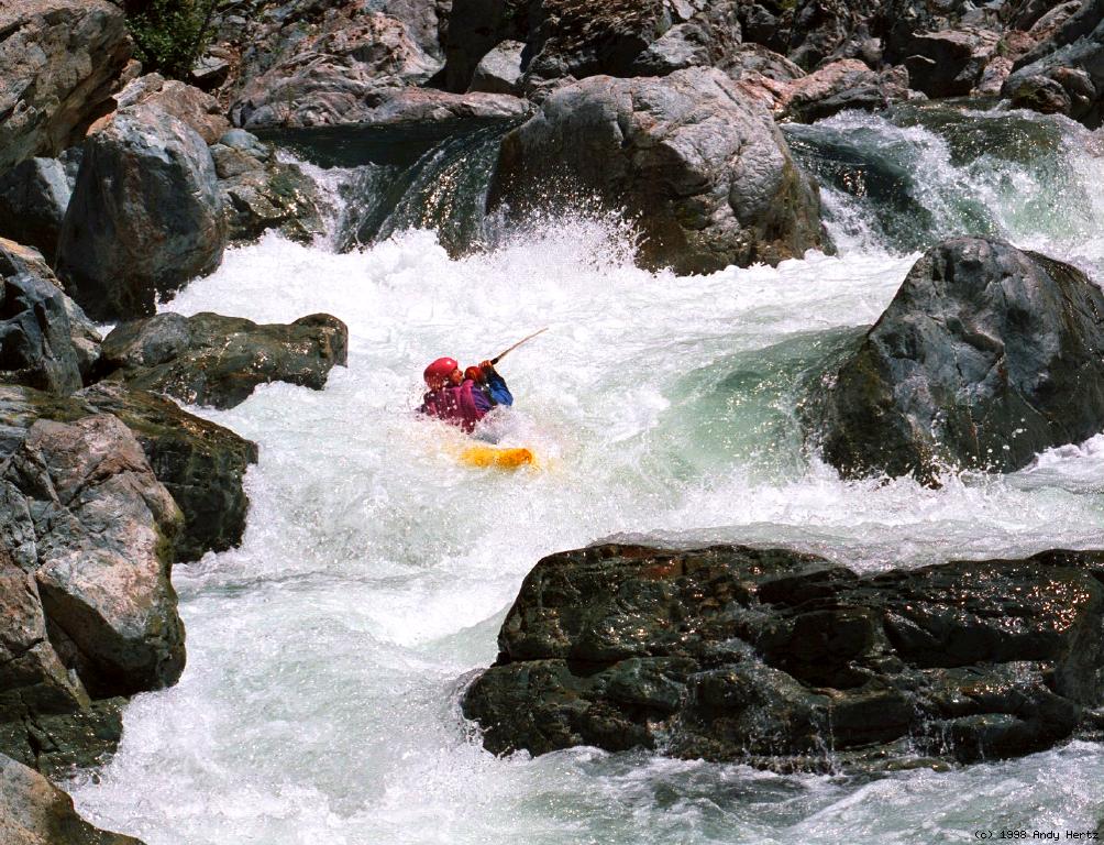
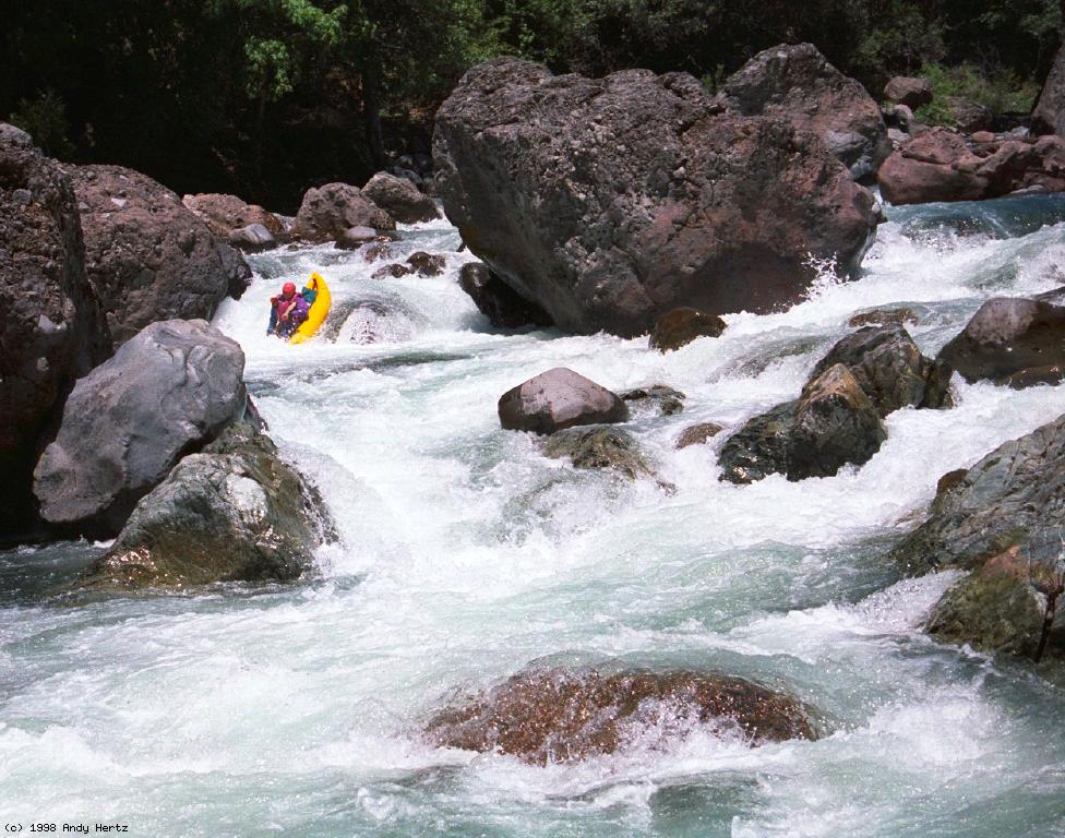
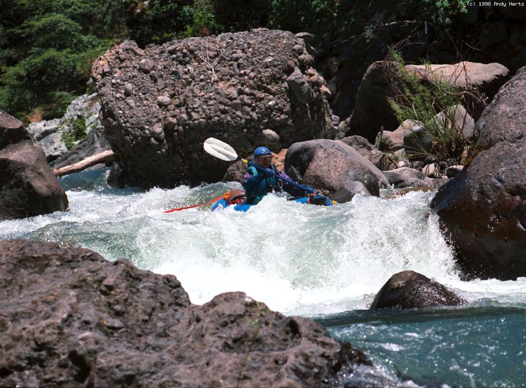
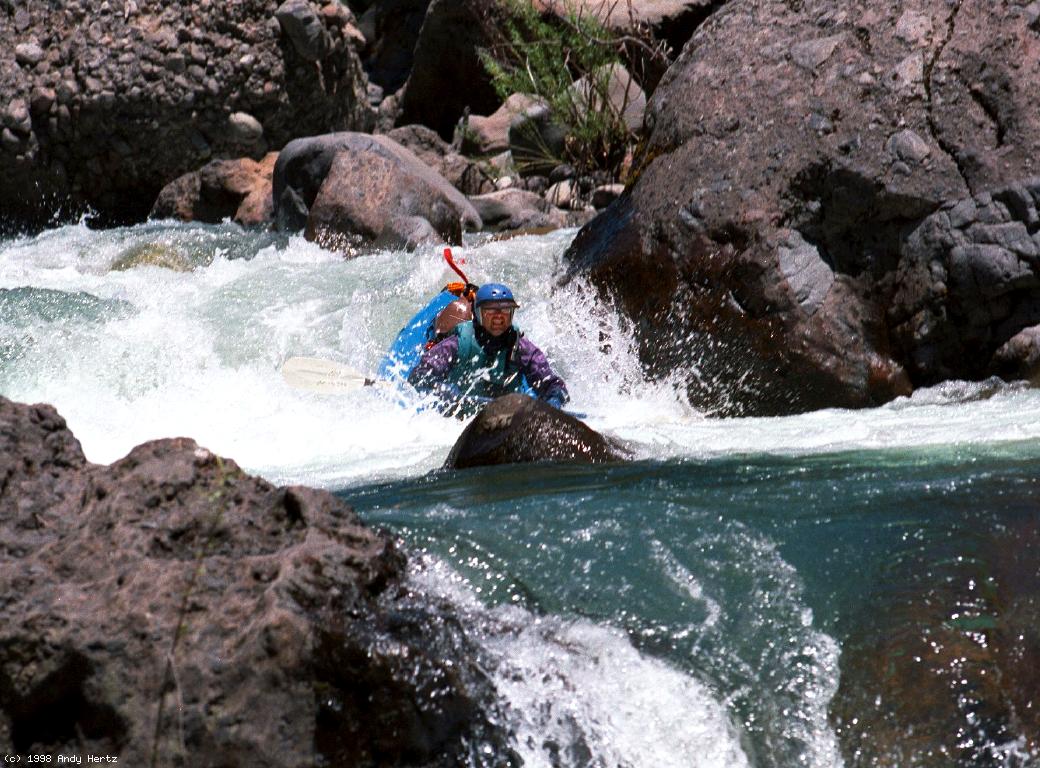
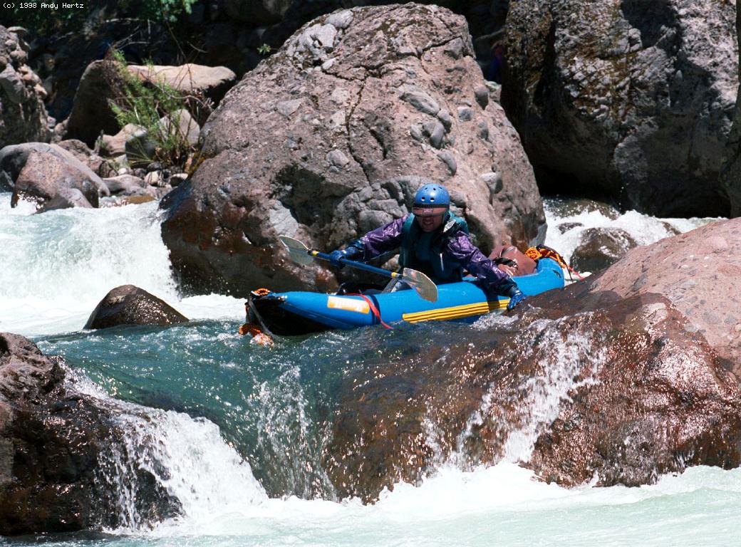
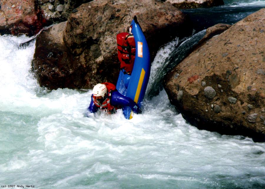
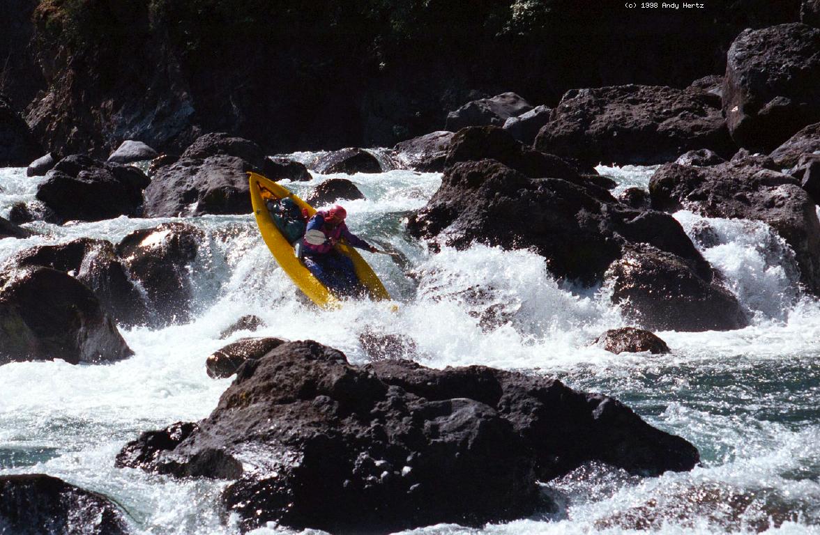
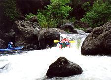 Mike runs straight down Single Drop
- 8.7?
- First of three or four class IV rapids. In 2003 they were harder
than Single Drop, due to aforementioned height reduction.
- 9.3
- Student Body Left, class IV+, scout left
A steep boulder maze in which you work to the left, then exit by
cutting back right across the river. Can cause carnage.
- 9.5-11
- Mostly class III rapids. Somewhere in this section
is a large camp with tent sites on a sandy bench above the river.
Public land ends about where powerlines come into view.
- 11.5
- Powerline Gorge, class IV
A powerline comes into view high overhead, announcing this series
of sometimes tight class IV rapids.
- 12
- Bench campsite next to a cliff on the right bank,
not recommended for camping because it is on private land.
- 12.5
- Final Gorge, class IV-
Several class III-IV rapids in a row.
- 13-18
- Unusually beautiful rock formations and class II-III rapids.
This is probably the most scenic section along the lower run.
-
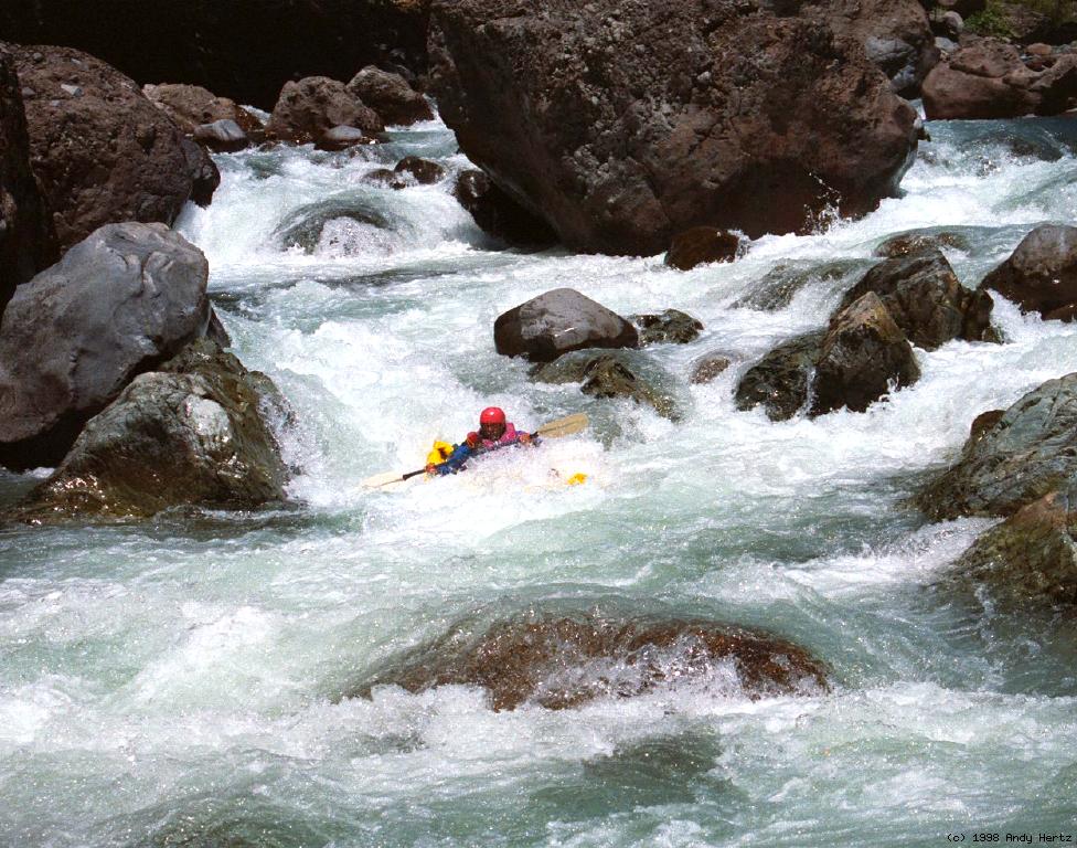
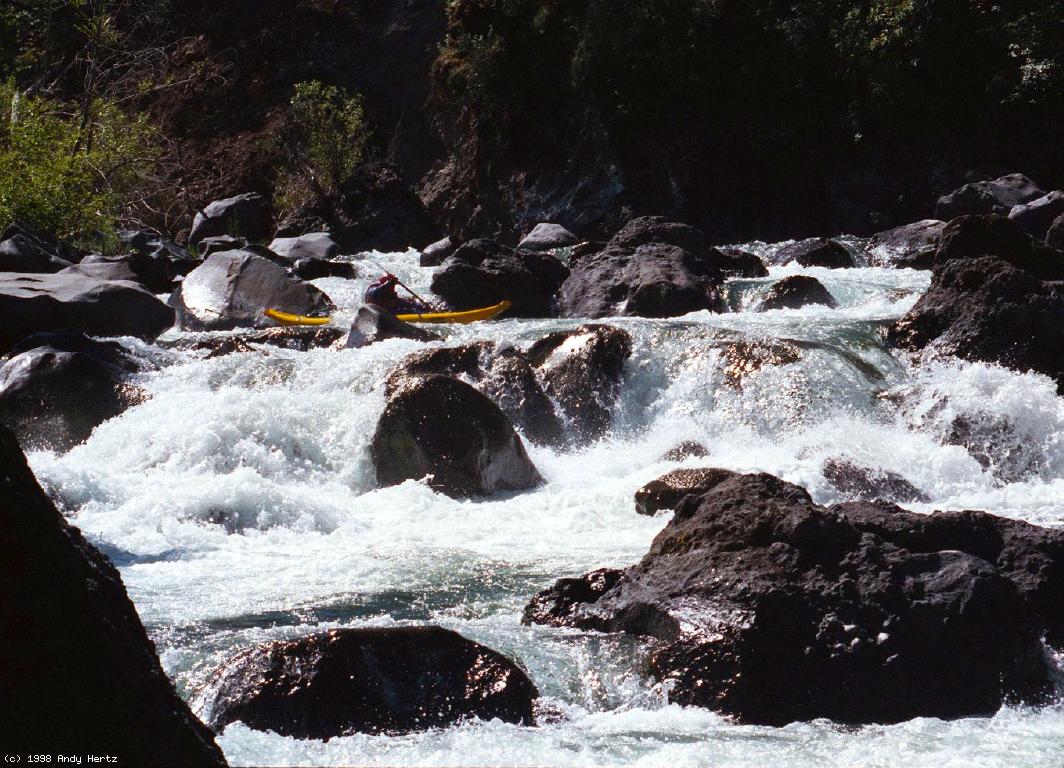
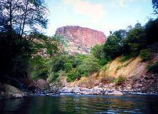 Table Mountain in late afternoon
- 18
- Gauging station on left bank
Deer Creek emerges into the Sacramento valley, so your main tasks
are finding the correct braided channel and avoiding strainers.
Too bad this is not the take-out.
- 19?
Hazard! Diversion dam might have a nasty backwash at higher flows.
Easy portage on the left.
- 23
- Right bank take-out, preferably below Leininger Road bridge.
Just downstream of the bridge, a narrow strip of land (1.7 acres)
on river right is public land owned since 1956 by the California
Department of Fish & Game, Tehama AP#079-040-02. There is also an
easement (at least 50' wide on the south) for the road bridge.
Sporadic vandalism has been reported at this take-out.
For a trip description and more pictures of Deer Creek, see the
Oregon Kayaking website.
|
|
Creeks Navigation
Home
Recommended Runs
Map of Rivers
Alphabetic Index
Alphabetic Table
Text Search
Sponsored Links
|


 Typical steep segment with submerged rocks
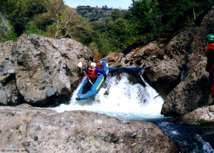
 Mike runs straight down Single Drop
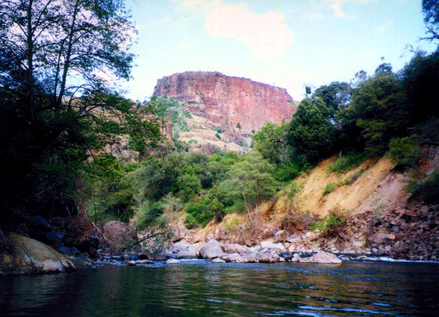 Table Mountain in late afternoon