|
Eel River below Van Arsdale Dam |
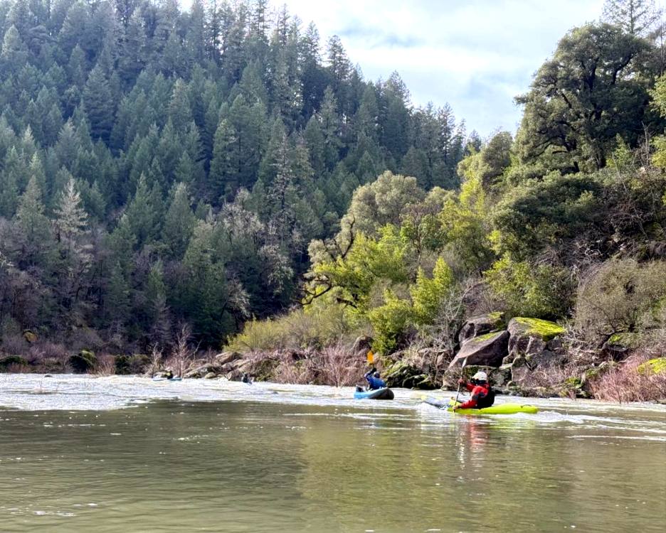
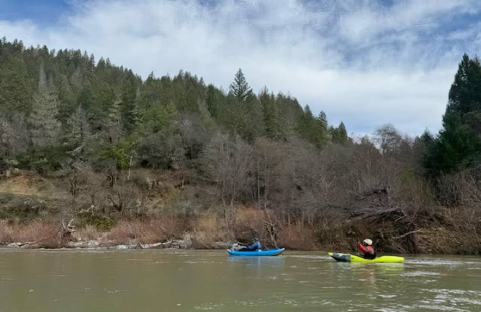
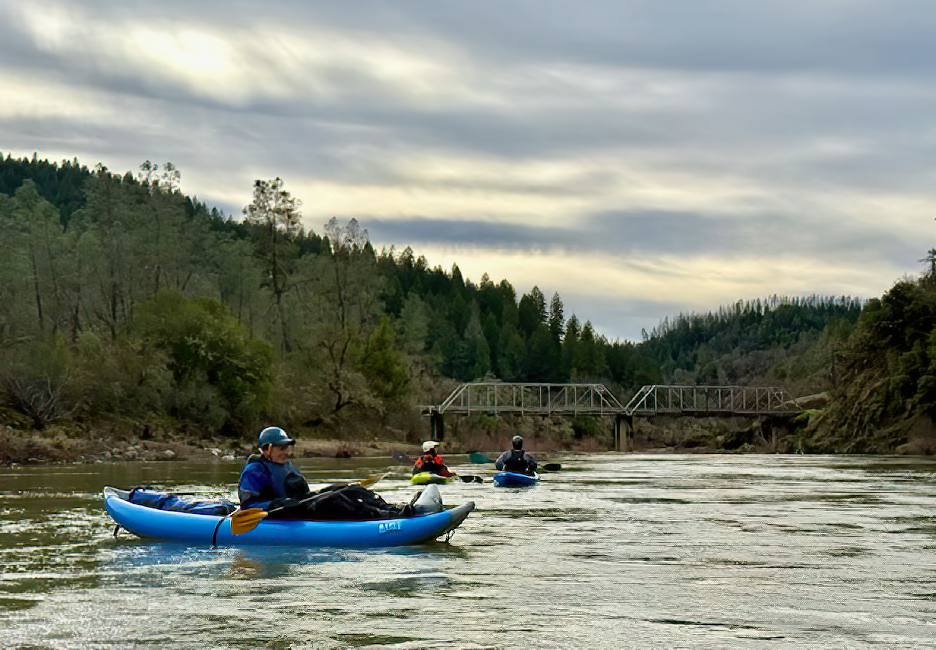
This river section has outstanding scenery, in a beautiful deep river canyon until near the end. Some homes, especially near the beginning, then a wilderness feel. The shuttle for this trip takes up to 75 minutes. Access Hearst by taking Valley Road, then right and up Canyon Road, left onto Tomki Road, and finally right and up on Hearst-Willits Road. Do not take Hearst-Willits road from Willits since it includes a ford of Tomki Creek, which will be impassable during boating season. Leave a car at the Hearst Bridge across the Eel, then return to Willits, take 101 to Highway 20 east, turn north on Potter Valley Road, and finally turn right on Eel River Road. It is possible to put in below Van Arsdale Dam. It is also possible to ask at the Hartstone Bible Camp, which has a great beach. If you intend to contact the camp for access privileges, do so a few days in advance, because this is a busy camp. If there is an active encampment taking place, they may not be able to accommodate you. If you put in there, please make a contribution to the camp so they will continue to welcome kayakers. In the first two miles below the Hartstone access you will find a few brush hazards, but most of these have been cleaned out by high flows in 2023, 2024, and 2025. Tomki Creek enters on the left several miles below Van Arsdale Dam. It is the largest creek of the many that enter this section. Garcia Creek enters on the right shortly before the longest rapid. There are numerous class II rapids. The most significant, perhaps a II+ depending on flow, is about a quarter mile below Garcia Creek. Easy rock dodging.
|
Creeks NavigationHomeRecommended Runs Map of Rivers Alphabetic Index Alphabetic Table Text Search
Sponsored Links
|


