|
Smith River South Fork |
This is a pretty run, marred in places by road cuts, with plenty of class II action and several class III rapids. Aside from the main and the middle fork below Gasquet, this is the most likely fork of the Smith to have enough water if there hasn't been recent rain. Class IV boaters often continue into South Fork Gorge and take out at the first South Fork road bridge, or further down at Jedediah Smith State Park. The South Fork Gorge is essentially for kayaks only, because high flows are necessary to make slots wide enough for rafts. Inflatable kayakers are advised to attempt the gorge only at low flows. See the Smith River for Rafters and Kayakers for great pictures and writeups. There is a class III gravel bar rapid straight into a large rock (1995) shortly after put-in. Gordon Creek enters on the right at mile 2.7, and Rock Creek on the left at mile 5.2. Just above the first bridge at mile 6.3 is a long class III boulder garden. Coon Creek enters on the right at mile 8.5, and around mile 10 there is a steep class III+ South Fork Falls, the most dramatic rapid on this run. Look for Craigs Creek on the right at mile 11.5, which marks take-out shortly ahead. To reach take out, turn right onto South Fork Rd. from highway 199 about a mile east of Hiouchi. Cross the middle and south forks, then turn left and drive upriver about one mile (two miles from 199). There is a large turnout with trails leading left down to the river. Walk down to the river so you can recognize the take-out and avoid blundering into the South Fork Gorge. To reach put in, drive about 10 more miles upstream. At the third bridge crossing (to river right), park and perhaps lower your boats on a rope from the bridge. Watch out for sharp steel, though; many a boat has been ripped there. The downstream bridges make alternate put-ins to shorten the run. To find nearby food and lodging, type Crescent City into the box and click Search. 
Custom Search
|
Creeks NavigationHomeRecommended Runs Map of Rivers Alphabetic Index Alphabetic Table Text Search
Sponsored Links
|
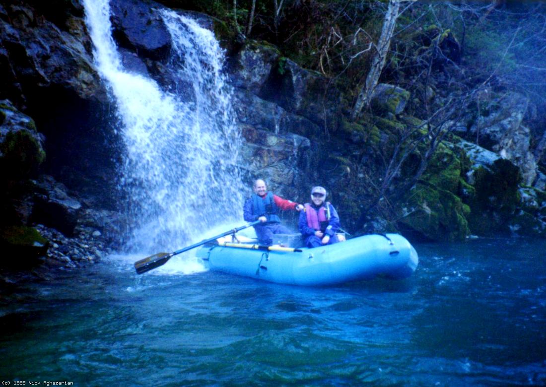 Nick and Nicole take in scenery (and a cold shower)