|
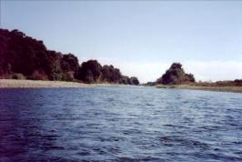
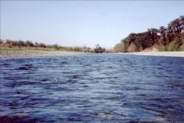
Tuolumne River above Modesto |
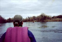
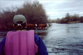
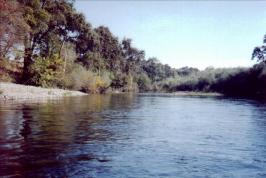
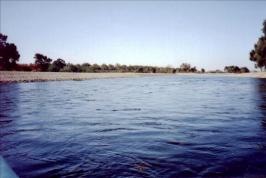
Have you thought about doing the lower Tuolumne from La Grange to Waterford or Modesto? There are a few logjams to watch for (even big floods failed to remove a flow-blocking trees) and the scenery turns sour after mile 10 or so (the former Robert's Ferry bridge), but it is interesting. I've run this section several times at low flows. The area is full of wildlife such as osprey, eagle, hawks, waterfowl, raccoons, herons, foxes, (all of which I've seen there) and supposedly bear. Fall is a good time to canoe and see the salmon. Bass and bluegill (perch) fishing is good in the area, especially for boaters. The run starts off similar to the Knights Ferry stretch of the Stan, but the road ends up much further away. I've only once seen another boater while on the river, and he was only going 1/4 mile. Below Robert's Ferry, farms and gravel pits affect the river and your view of it. Extreme grading of the river to “help” the salmon spawn has been performed, which has lead to the desecration of the riverbank's foliage. To put it bluntly, they stripped the riverbanks and graded the river. This section (about one mile or more) is straight, perfectly graded, and 6 inches deep most of the year. Just above Waterford is a deadly man-made eddy. The TID (Turlock Irrigation District) drops water occasionally from its main canal into the river at this point. The water shoots across the river and the opposite bank curves it back. If the diversion is active, portage on the right. There are plenty of warning signs and ample room to walk around, but it still has claimed one life that I know of. Below Waterford, the river courses through a wooded section and flattens out above Hughson, before returning to class I riffles all the way to Modesto. There is another TID diversion between Santa Fe Avenue and Mitchell Road, but it is not as hazardous as the first one.
Access points are as follows: Downtown La Grange at the old bridge, or at the new bridge one mile west of town. At the county park (?) near the intersection of Lake and Yosemite (highway 132) a few miles downstream. Turlock Lake State Park campground, on Lake Road east of the main entrance to Turlock Lake. Roberts Ferry Road, which may be emergency exit only, since the bridge was washed out during the flood of 1997. Waterford at the Hickman Road bridge, where access may be limited to the right bank due to private property. Fox Grove near Hughson on Geer Road. Santa Fe Avenue between Hughson and Empire. The park in Modesto next to the airport from Mitchell Road. Ninth Street bridge in Modesto (beyond there I don't know the river). Modesto neighborhoods near the river are rough, so you might consider having a shuttle driver pick you up. Special problems: Be very cautious of the TID deathtrap above Waterford - pay close attention to warning signs. Due to years of very low flows (125 cfs), willows have grown into the river channel and might at times block the river. There is one tree that fell across the river a few miles below the last La Grange put in, after a large pool that has a high cliff on the left. Portage is only on the left. I haven't seen it at flows above 1000 cfs. Small channels exist just above the Turlock Lake campground, but are manageable if you are watching. Smaller channels exist just below Waterford and have been known to disappear under the willows. That may have changed after the flood. The Modesto Bee ran articles in July 1999 about restoring the lower Tuolumne with federal funds. The largest project in the nation, or something like that. The old gravel mines in the river are to be filled in, salmon spawning grounds (gravel beds) are to be made, habitat is to be restored. Most of the work seems to be focused between La Grange and Hughson. Most of the gravel mined from the river was between Waterford and Hughson (my neighborhood).
|
Creeks NavigationHomeRecommended Runs Map of Rivers Alphabetic Index Alphabetic Table Text Search
Sponsored Links
|
