Yuba South Fork Washington to Edwards


Stretch: Washington campground to Edwards Crossing bridge
Difficulty: class III, some IV, one portage, harder above 1000 cfs
Distance: 14 miles, 1 day
Flows: kayaks 400 - 2000 cfs, IK minimum 300
Gauge: flow measured downstream at highway 49 (JBR)
Gradient: 46 fpm average
Put-in: campground in town of Washington, 2560'
Take-out: highway bridge at Edwards Crossing, 1940'
Shuttle: 27 miles (45 minutes) one-way, all paved
Maps: USFS Tahoe NF, AAA Feather and Yuba, Topo
Season: spring, from snowmelt and dam release
Agency: private, BLM, state park
Notes: © 2010 Bill Tuthill, CreeksYahoo

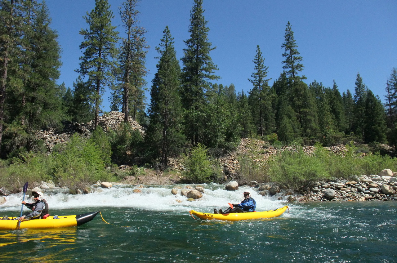
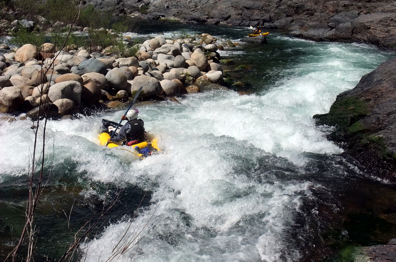
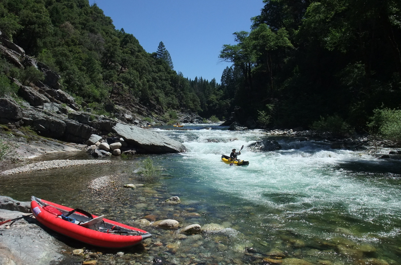
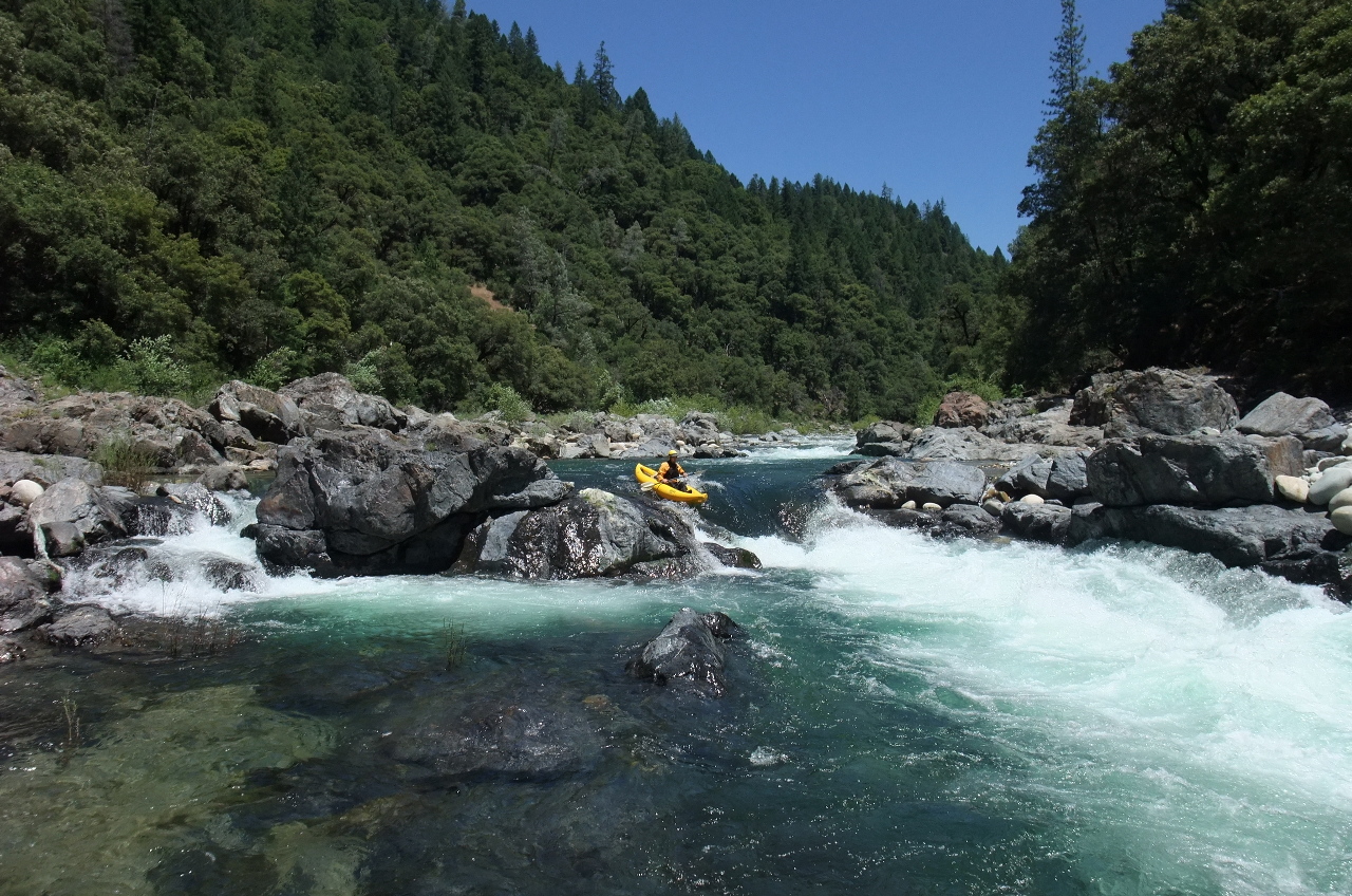
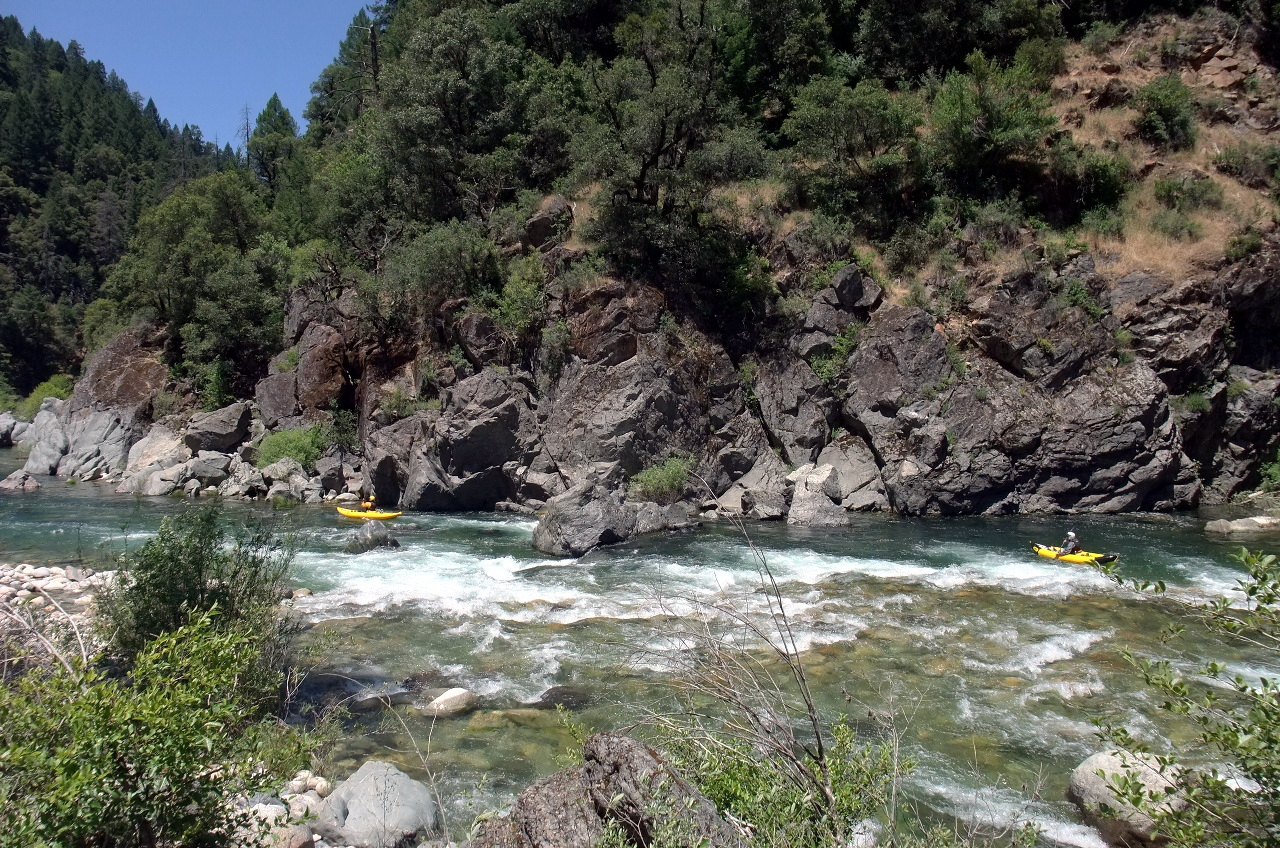
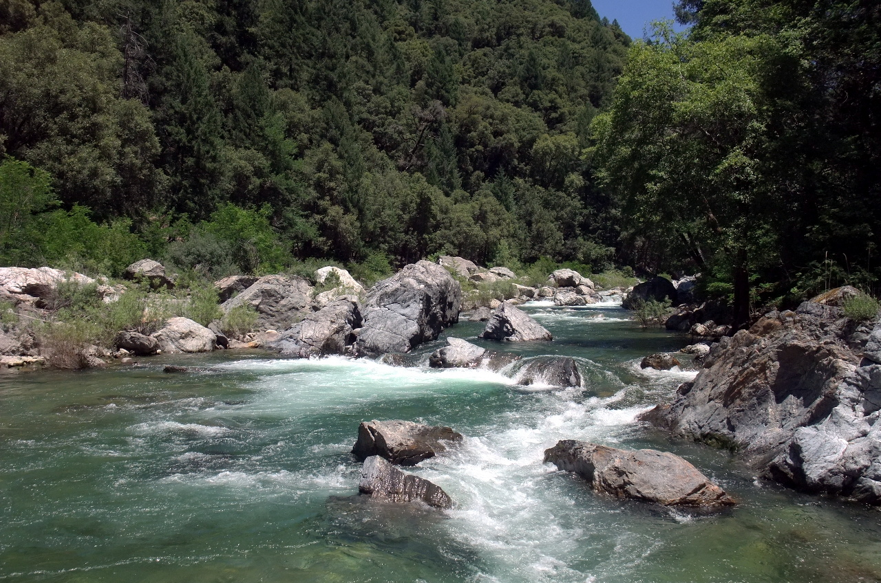
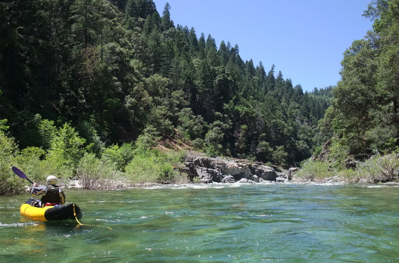
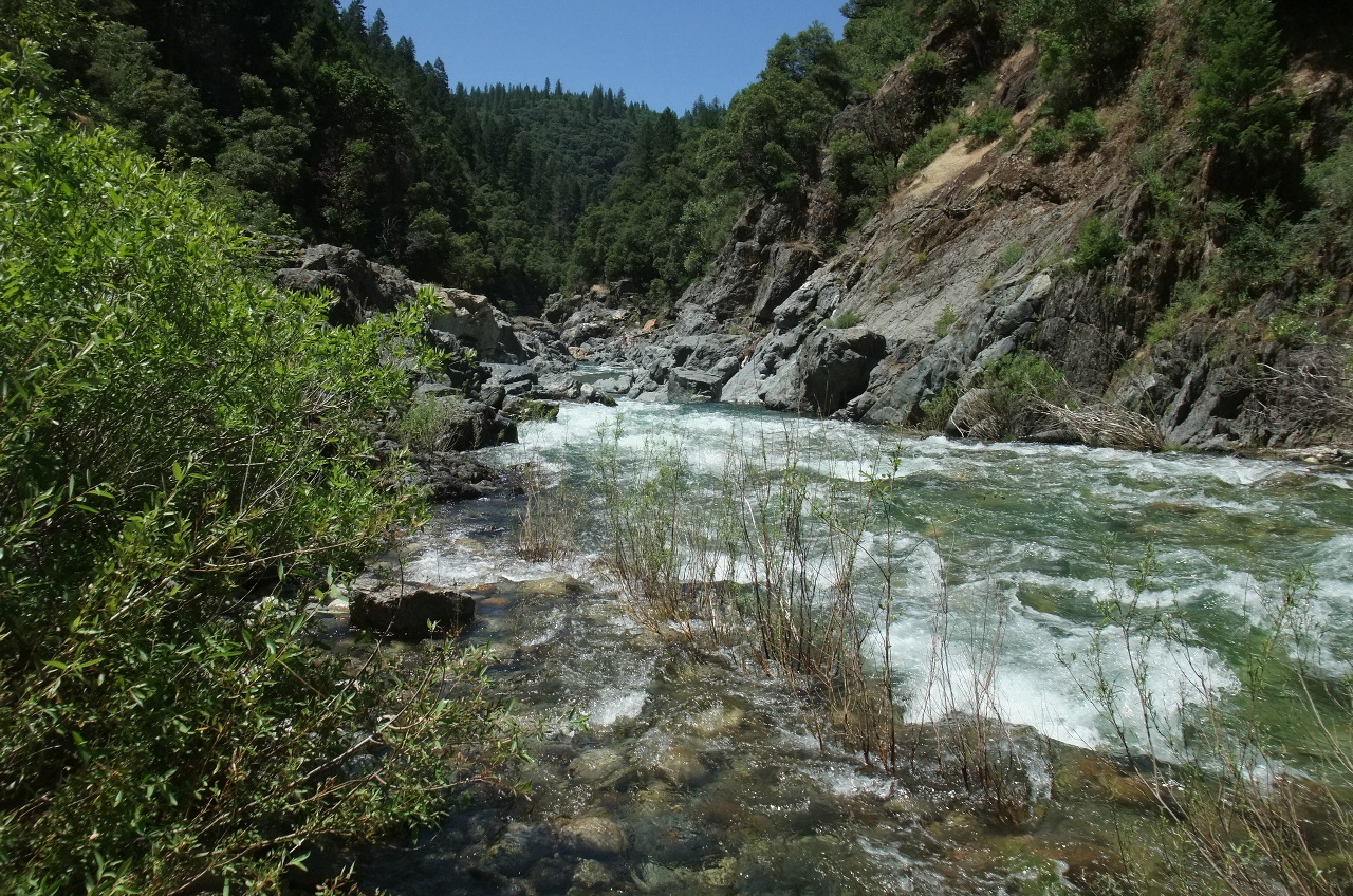
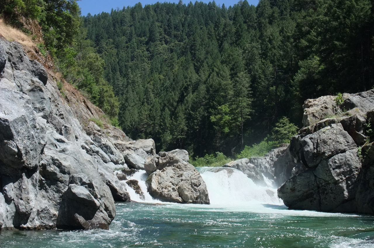
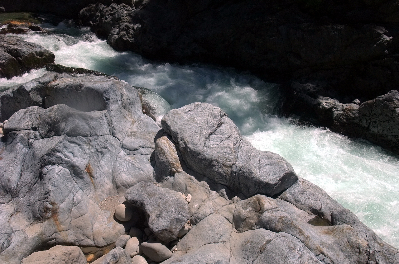
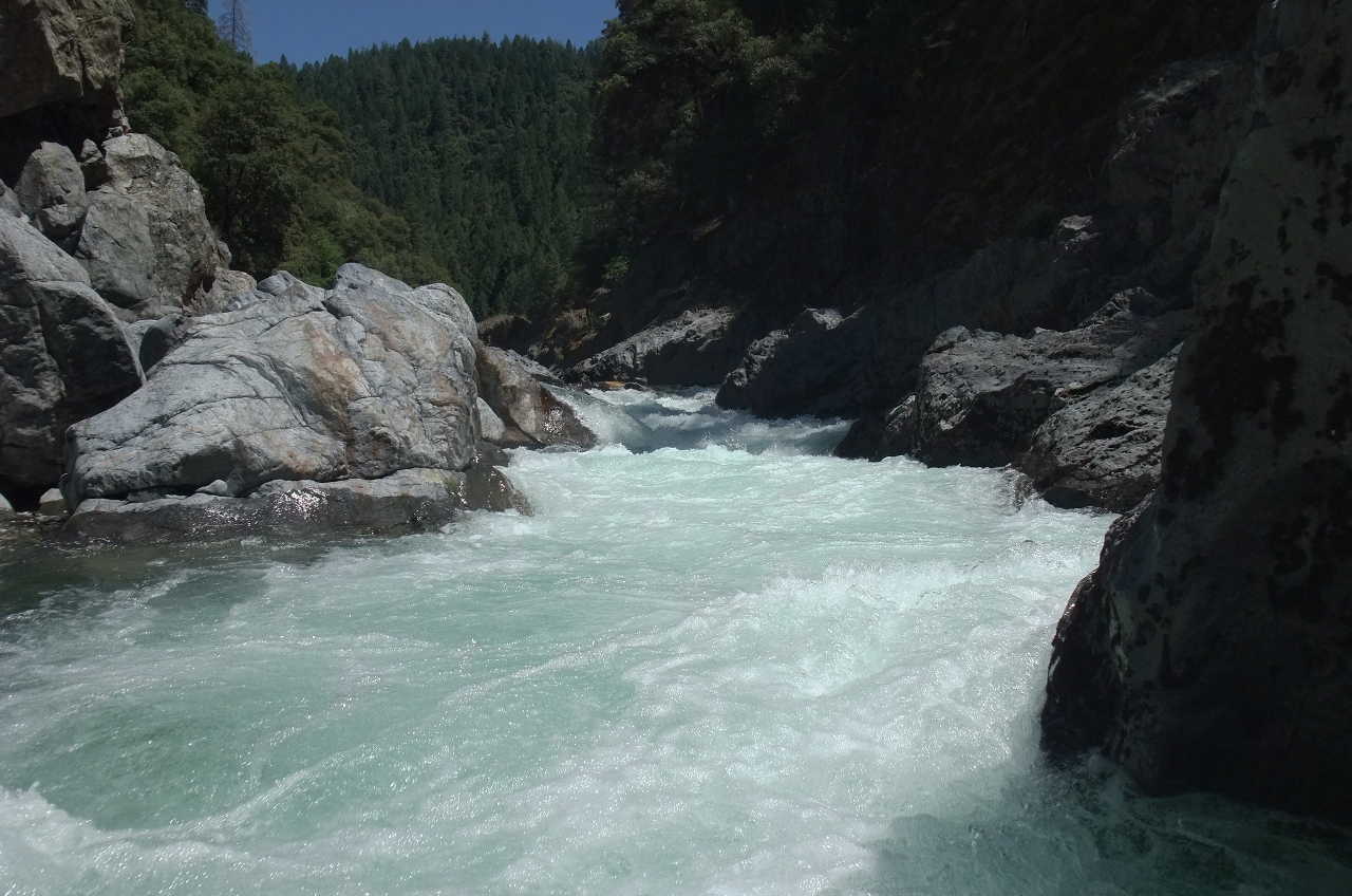
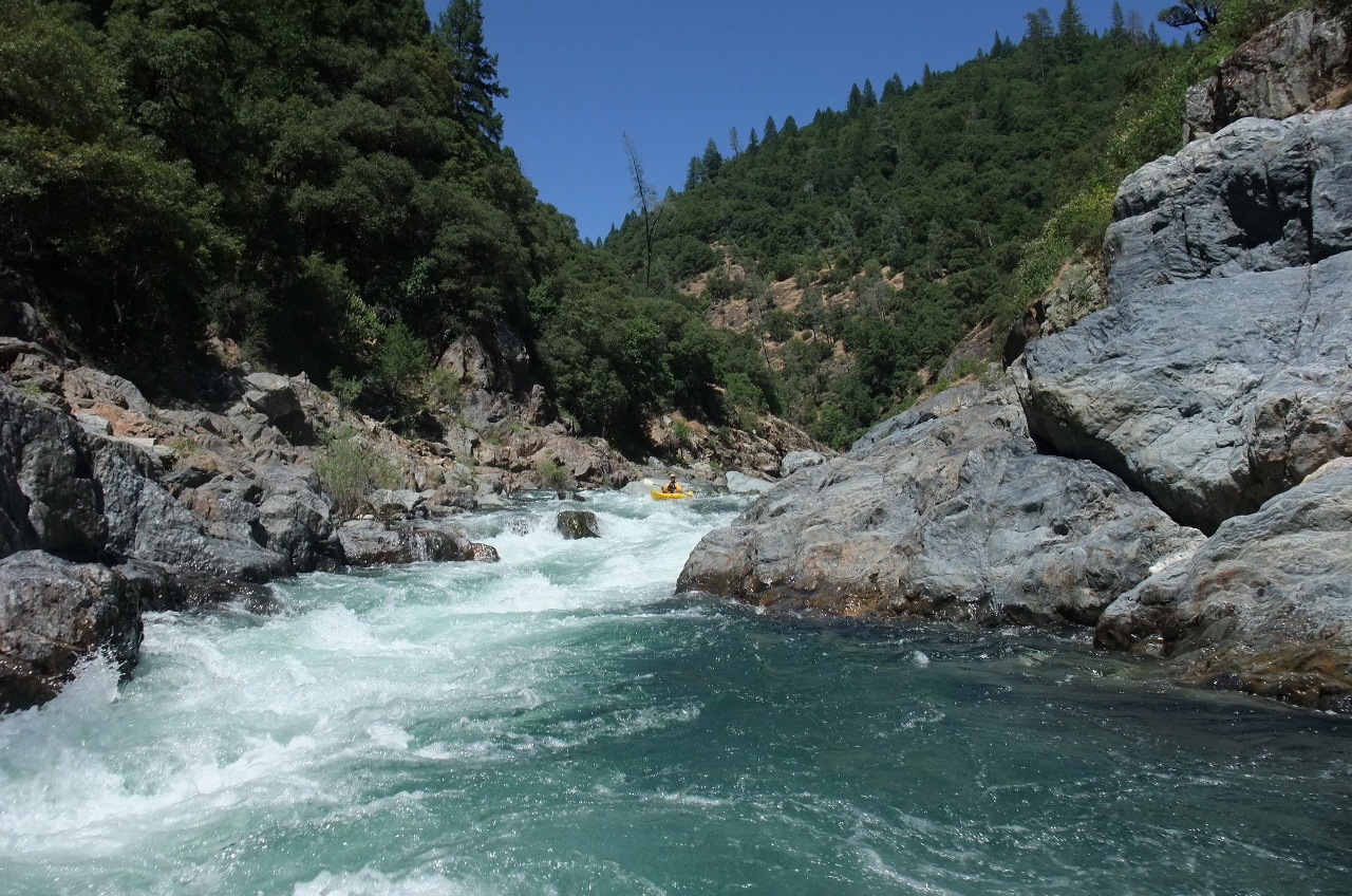
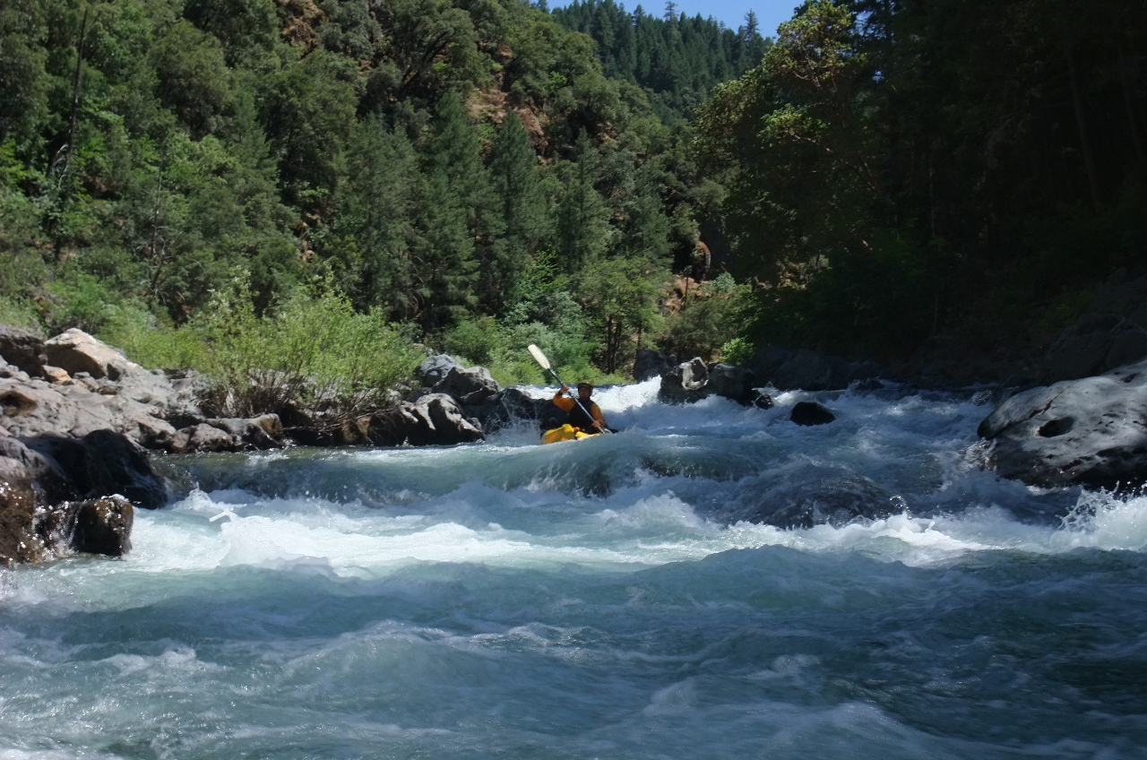
Despite a portage, this long scenic tour is the easiest run on the South Yuba, though it has several tricky class IV rapids, one potentially dangerous. In most years kayakers have sufficient flows for several months or more, although for rafters the flow window can be short or sporadic.

The run starts off with class II-III rapids thru hydraulic mining debris, with several powerful ledge drops interspersed. Just before mile 11 you encounter a >4 meter waterfalls, probably unrunnable due to sieves and rock debris (2010). There is a moderately difficult portage on the left, and an easier but risky low-water portage on the right. Below the waterfalls is a class IV-V rapid with recirculating eddy that claimed the life of kayaker Art Capacite in 1996 at 1200 cfs. In 2003 at a flow of 2050 cfs, kayaker David Edrington also died somewhere on this run.

mile 0
Put in at the campground in the small town of Washington. Parking fee $10 a day (2010). Easy rapids begin immediately. Upstream is an excellent class IV run.
1.1
Poorman Creek enters on the right.
South Yuba CA South Yuba CA
Boulder drop amid mining debris  One of the best bedrock ledge drops
5
Cabin on the left bank. Good campsites on the right above and below.
South Yuba CA South Yuba CA
Mild bedrock drops in a staircase  You might want to scout this one
6.5
Missouri Creek enters on the right. Faint trails approach the river.
South Yuba CA South Yuba CA
Boulders below a long rock slalom  End of tricky class IV boulder maze
8.5 A well-used backpacking camp on the right bank, just above a ledge drop.
10
Humbug Creek enters on the right. Rapids are more difficult downstream.
10.3
A long boulder slalom obscured by large rocks and willows, class IV.
11
Waterfall, class V+, portage left.
South Yuba CA South Yuba CA
Innocent-looking class II above Waterfall  Still looks OK from start of portage
South Yuba CA South Yuba CA
Waterfall is full of entrapment hazards  Pool below the Waterfall portage
11.2
Capacite Falls, class IV-V, possibly scout right. Start far left, or cut from center to left, then paddle decisively down the middle to avoid bad eddies on either side, especially left.
South Yuba CA South Yuba CA
Capacite Falls is long and turbulent  This does not show the bad side eddies
11.5
Trail appears on right bank, bringing many hikers from the nearby road.
South Yuba CA South Yuba CA
One of many good drops below  Big hydraulics not far from take-out
14
Take out on the left above the bridge, and climb a trail to the road, where you find an outhouse and many parking spots.

Shuttle Directions

To reach take-out, turn north onto highway 49 from highway 20 past Nevada City. In only .3 mile, turn right onto North Bloomfield road. After another .6 mile, turn right at a T intersection and drive downhill on a paved road to Edwards Crossing. Parking is available uphill south of the bridge.

To reach put-in from there, return to Nevada City, and turn west on highway 20, drive about 13 miles, turn north at the sign for Washington, and descend to this small friendly town on the river. The campground put-in is just before the historic district.


 Creeks Navigation

 Home
 Recommended Runs
 Map of Rivers
 Alphabetic Index
 Alphabetic Table
 Text Search

 Sponsored Links