|
American River Main Stem |
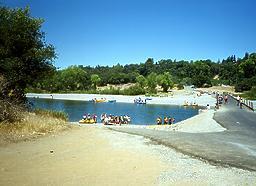
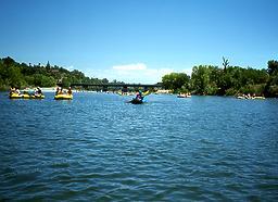
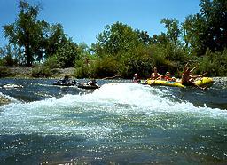
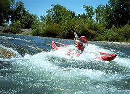
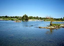
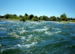
Below Folsom Reservoir, all forks of the American have come together. This stretch is an excellent beginner run with good scenery, especially considering that it is smack dab in the midst of a city. Parkland lines the river most of the way, and towards the end, bayous make interesting explorations. Although on summer weekends unguided rafts ply the river, crowds are seldom a problem, since rafts are usually rented to small groups. Several salmon runs take place in late fall and throughout the winter. A bicycle path exists along this entire river segment, so if you can't nail down a second shuttle vehicle, a bicycle makes a pleasant alternative. Hide and lock your bicycle in the bushes near Watt Ave, or in one of the intermediary access areas. Upstream of Folsom Reservoir are many excellent whitewater runs, including the popular South Fork American and the lesser known Middle Fork American.
Shuttle DirectionsTo reach take-out, drive east from Sacramento on highway 50, and exit northward on Watt Ave. Turn into the riverside park just before crossing the river. There may be a parking fee and a per-boat user fee, which is on the honor system unless your boats are visible. To reach put-in, return to highway 50 east, and exit northward on Sunrise Ave. Just before crossing the river, turn right and enter the riverside park by crossing under Sunrise Ave. A raft rental company is nearby. There is ample parking, some even with afternoon shade. To approach the San Juan surfing spot from Rossmoor, about 1/3 mile downstream, take the Sunrise North exit from highway 50. Proceed to the 2nd light at Coloma Street and turn left. Follow Coloma for a fair distance (2 or 3 miles) and turn right on Rossmoor. Follow the road to the county park. Pay access fee ($4 for car plus $2 per boat). Daylight robbery has occurred here, so leave nothing valuable in your vehicle. This is the closest access downstream of San Juan, and you can drive right to the river and drop boats before you park. You must paddle upstream about 1/3 mile paddle (mostly flatwater with one riffle that takes some effort), but at the end of the day it's a joy to simply drift downstream. For those who prefer hiking to upstream paddling, an alternate approach is from the north. From Sunset turn left on Fair Oaks, and left again on Bannister. At Bannister Park start hiking downhill, staying on trails to the right. To find nearby food and lodging, type Sacramento into the box and click Search. 
Custom Search
|
Creeks NavigationHomeRecommended Runs Map of Rivers Alphabetic Index Alphabetic Table Text Search
Sponsored Links
|
