|
Bear Creek into Cache Creek |
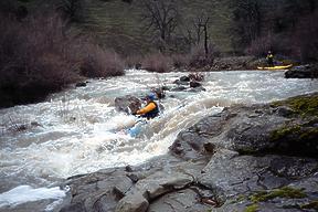
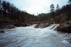
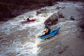
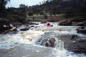
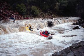
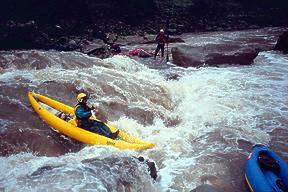
This is a worthwhile run loaded with runnable, not terribly tall waterfalls. It is hard to hit at the right flow, however. Before driving to put-in, check the flows on the web. High flows can be dangerous and scary, but at low flows many drops are not runnable. Hardshell kayakers report that a flow of 7.8 feet is very exciting, and that flows below 6.0 feet are not worthwhile. Four friends and I ran it at 6.6 feet (at the moment we took out) and we thought that level was almost optimum. The USGS site maps gauge height to CFS. Put in where the creek steepens as it exits the wide valley above, and take out at the confluence of Cache Creek or shortly below, for example at the regional park river access area. If you put in at the bridge above the ledges that you can see from the road, class IV action begins immediately around the first corner. Be sure look at the first 5 big drops carefully, so as to avoid blundering into keeper holes or strainers. Usually there is a semi-sneak route diagonally downstream of the biggest stuff. All the class IV rapids are between the first and second bridge. Most are multi-ledge drops created by upturned rock strata. Ursa 1 is a curving chute starting under the first bridge and ending in a sloping 1 meter falls against the right bank. Ursa 2 is a sloping 2 meter falls most easily run on the left, followed by another less severe ledge drop.
Ursa 3 is more difficult: a minor ledge, then a very sticky ledge drop runnable in three places, followed quickly by a tall but less sticky ledge, and finally a very tall but not sticky ledge drop.
Ursa 4 is a steep horseshoe falls that looks hazardous near the apex, but not as turbulent or dangerous downstream on river right. Ursa 5 is a drop full of tricky sideways curlers into an amphitheater with recirculating outwash. Ursa 6 is a much easier ledge just above the second bridge. Below there, fun class III action continues to the confluence.
There is a new put-in for this run! Cowboy Camp is on BLM land along Highway 16 about a mile south of Highway 20. There are 2 toilets, lots of free parking, and convenient river access. Currently no sign marks the turnoff into Cowboy Camp, but the toilets are visible from the road. See Bruce Thomas blog. If you want a longer day than merely 5 miles, keep going upstream on highway 20 to the Wilbur Hot Springs turnoff, a dirt road that follows the south bank of Bear Creek, and put in at the bridge to Wilbur Hot Springs. This gives you an extra 7 miles including 4 miles in a scenic gorge with some rocky class III rapids, plus 3 easy miles thru farmland with several fun but somewhat bony class III rapids just before the standard put-in. Another way to extend the day is to continue down Cache Creek to Haswell Boy Scout Camp or Rumsey Bridge, but please look at the low-water bridge during your shuttle. To reach take-out, follow directions to the put-in for the Cache Creek near Esparto run. To reach put-in, continue upstream on highway 20 to the venue of your choice.
|
Creeks NavigationHomeRecommended Runs Map of Rivers Alphabetic Index Alphabetic Table Text Search
Sponsored Links
|
